Extended Description of the Vector Map
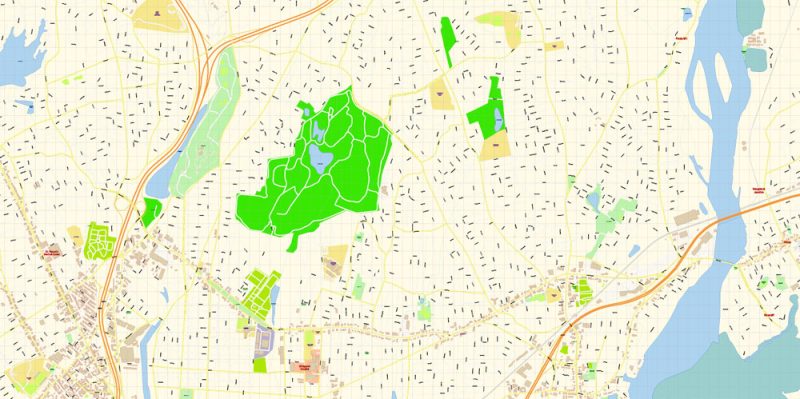
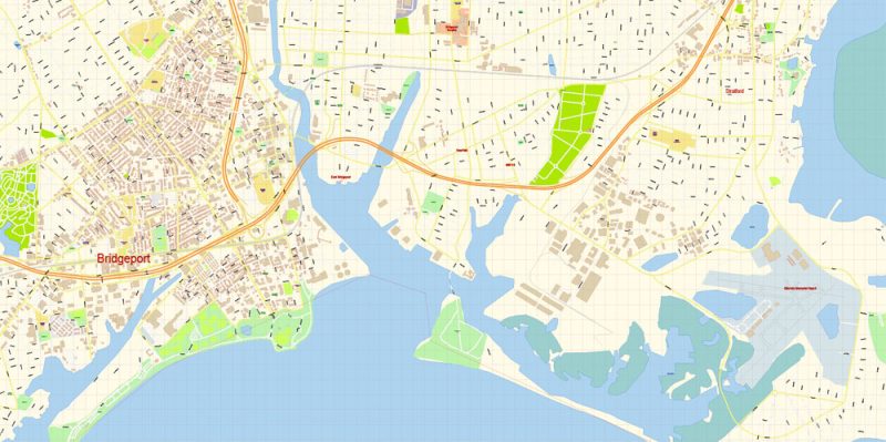
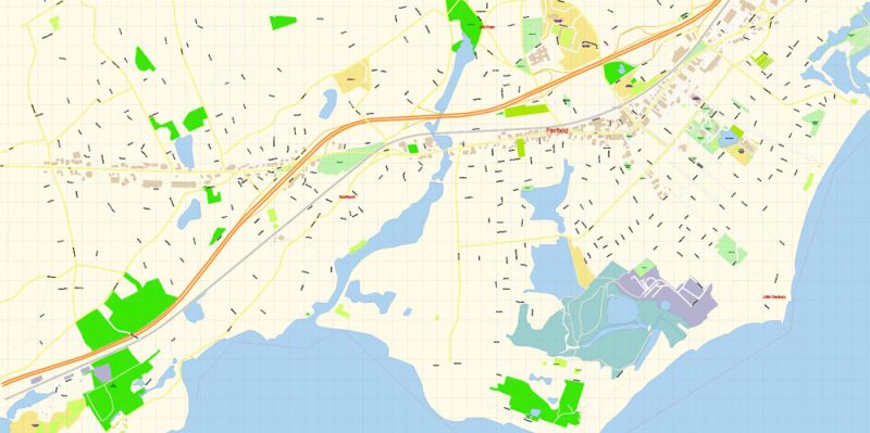
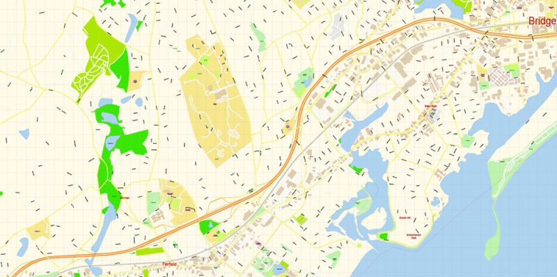
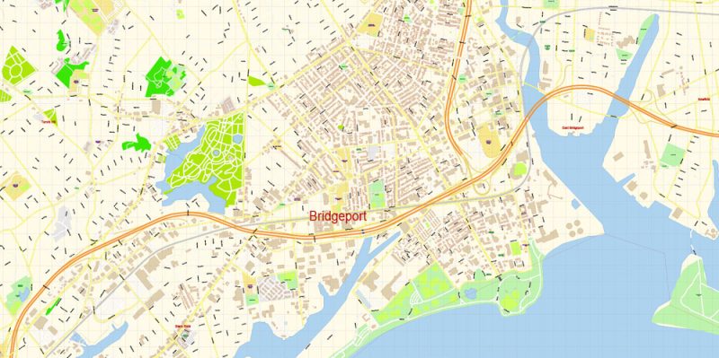
Printable Vector Map of Bridgeport Connecticut US detailed City Plan scale 1:3535 full editable Adobe Illustrator Street Map in layers, scalable, text format all names, 5 MB ZIP
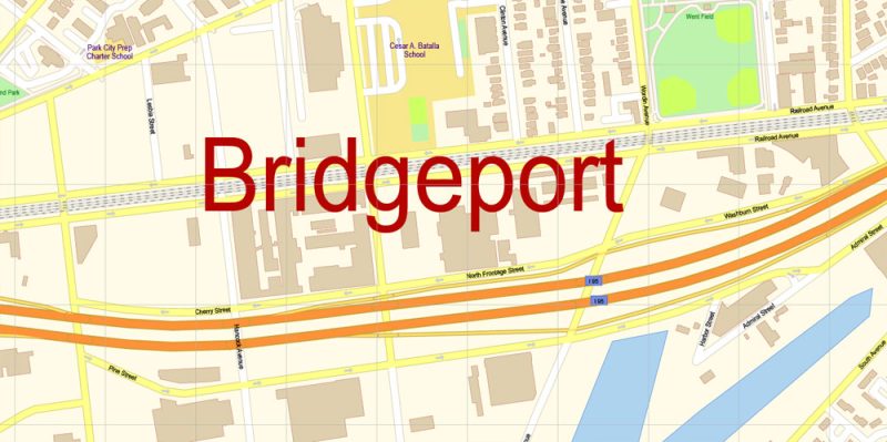
All street names, Main Objects, Buildings. Map for design, printing, arts, projects, presentations, for architects, designers, and builders, business, logistics.
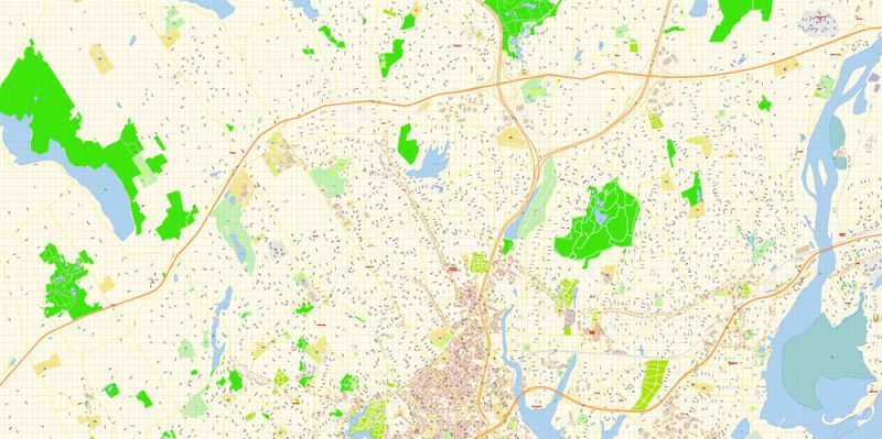
Layers: color_fills, water, streets_roads, labels_roads, names_objects, names_streets, names_places, arrows_streets, buildings, grids, legend, etc.
The most exact and detailed map of the city in scale.
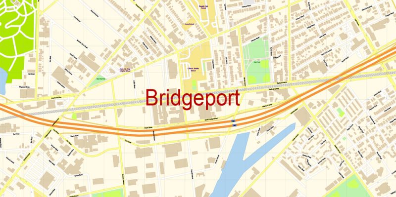
For Editing and High-Quality Printing
Bridgeport
City in Connecticut
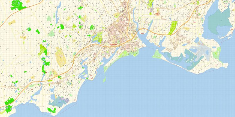
DescriptionBridgeport is a historic seaport city in the U.S. state of Connecticut. It is in Fairfield County, at the mouth of the Pequonnock River on Long Island Sound, 60 miles from Manhattan and 40 miles from The Bronx. It is bordered by the towns of Trumbull to the north, Fairfield to the west, and Stratford to the east. Wikipedia
Population: 146,579
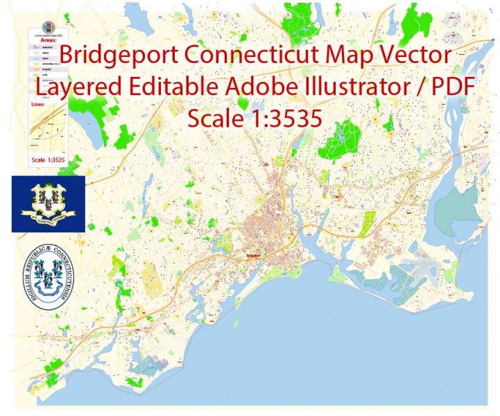
Bridgeport Map Vector Connecticut Exact City Plan detailed Street Map editable Adobe Illustrator in layers
Bridgeport Map Vector Connecticut Exact City Plan detailed Street Map editable Adobe Illustrator in layers
Bridgeport Map Vector Connecticut Exact City Plan detailed Street Map editable Adobe Illustrator in layers
Bridgeport Map Vector Connecticut Exact City Plan detailed Street Map editable Adobe Illustrator in layers
Bridgeport Map Vector Connecticut Exact City Plan detailed Street Map editable Adobe Illustrator in layers
Bridgeport Map Vector Connecticut Exact City Plan detailed Street Map editable Adobe Illustrator in layers
Bridgeport Map Vector Connecticut Exact City Plan detailed Street Map editable Adobe Illustrator in layers
Bridgeport Map Vector Connecticut Exact City Plan detailed Street Map editable Adobe Illustrator in layers
Bridgeport Map Vector Connecticut Exact City Plan detailed Street Map editable Adobe Illustrator in layers
Bridgeport Map Vector Connecticut Exact City Plan detailed Street Map editable Adobe Illustrator in layers


 Author: Kirill Shrayber, Ph.D. FRGS


