Extended Description of the Vector Map
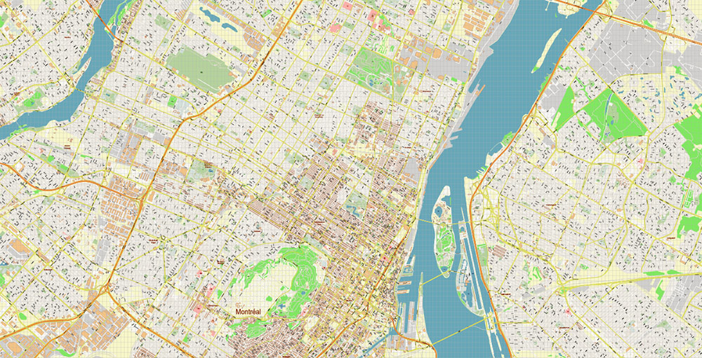
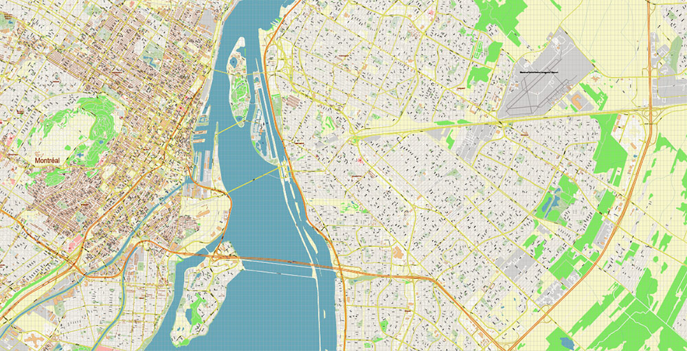
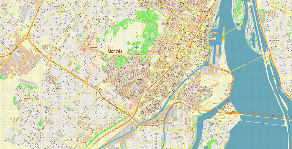
Montreal, Quebec
Montreal is the oldest and at the same time the largest city in the country and the largest city in the state of Quebec. The city is mainly inhabited by French-Canadians, so the city is called “French Canada” or “Paris of North America” and is rightfully considered one of the most beautiful cities in Canada. It is located on the banks of the Saint-Laurent river at the foot of the Royal Hill – Mont-Royal, from which, according to historians, the name of the city was derived.
It is better to start your journey around the city and its surroundings from the island where the central part of the city is located. On the peak of the city hill stands the symbol of the Catholic faith – a 33-meter cross and the church of St. Nicholas. Joseph. In total, there are about 300 churches in the city (the Church of the Merciful Patroness of the Madonna, the Church of St. George, the Church of the Medievalists), which is probably why Canadians call Montreal “the city of all saints”.
The city itself is almost entirely designed in the European style. Reduced copies of many famous architectural monuments of the world adorn it. The most famous among these monuments. – The Cathedral of St. James, was erected in 1870 on the model of St. Peter’s Cathedral in Rome. The Cathedral of Notre-Dame de Bon Secure (Cathedral of the Merciful Patroness of the Madonna), built-in 1824, is a copy of the Cathedral of Our Lady of Paris. This temple is considered the oldest building in Montreal. On the walls of the cathedral are depicted the patrons of all travelers on water and on land, in the niches of the temple, there are models of ships from sailing ships of the XV century to modern sea and ocean liners. On the edges of the altar are ancient anchors with remnants of rust and other items of marine life.
Main attractions:
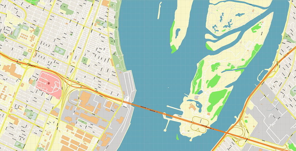
The city has several hundred parks and a dozen bridges spanning the St. Lawrence River, of which the most famous is the Jacques-Cartier Bridge, which evokes the canals and bridges of Venice.
Bridges are another attraction of the city. The city has 15 bridges, including the famous Jacques Cartier Bridge over the St. Lawrence River and named after one of the founders of the French colonies in North America. But not everyone can cross this bridge – the bridge is almost 4.5 km long.
The city is decorated with historical monuments and buildings of ancient architecture, such as the Windsor Railway Station. The famous French-Canadian university is also located in Montreal.
In the vicinity of Montreal, in the Lawrence Mountains, there is the Laurentian National Park – a famous ski resort, on the snow-capped peaks of which we recommend visiting in winter.
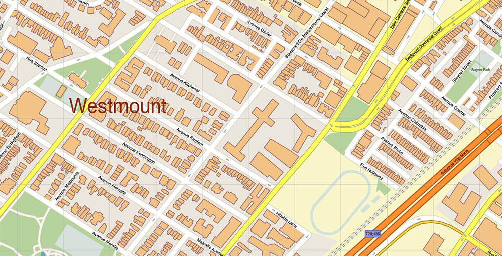
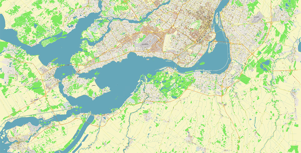
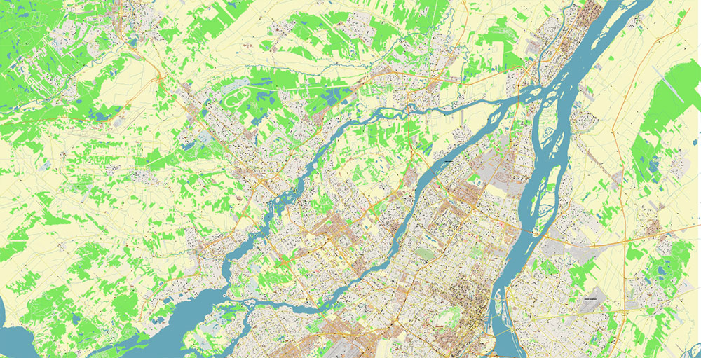
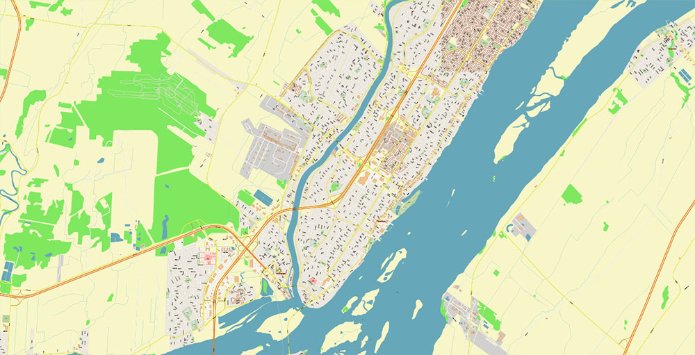
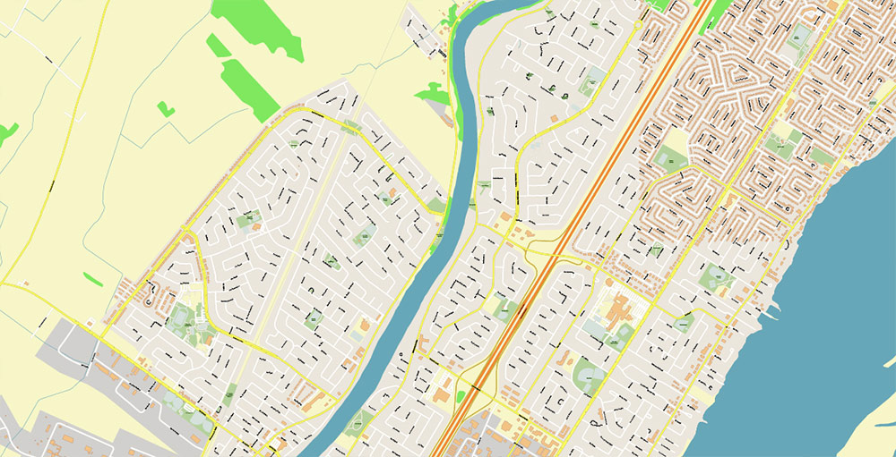
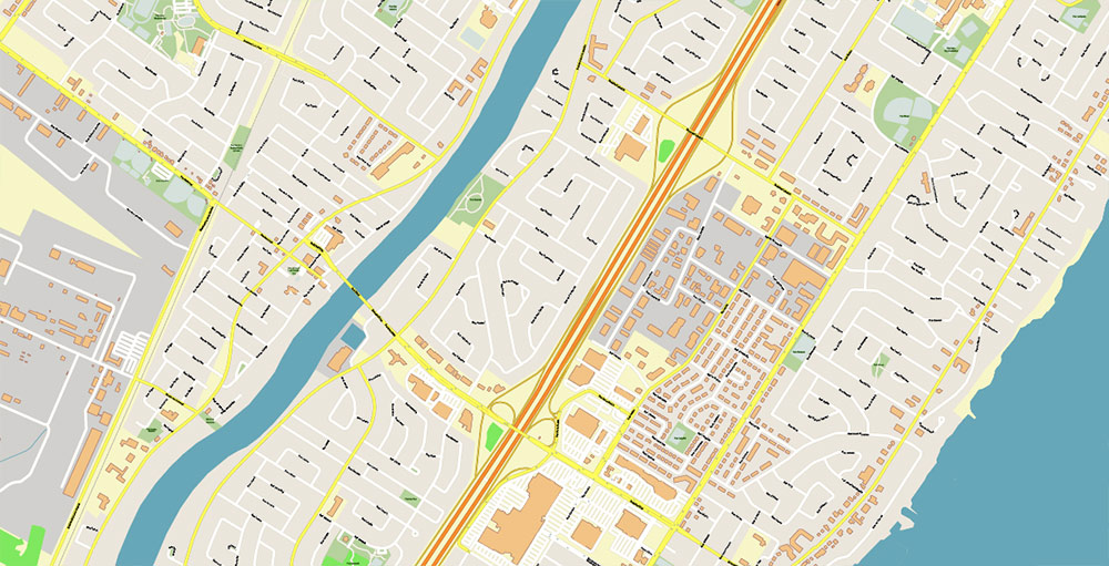
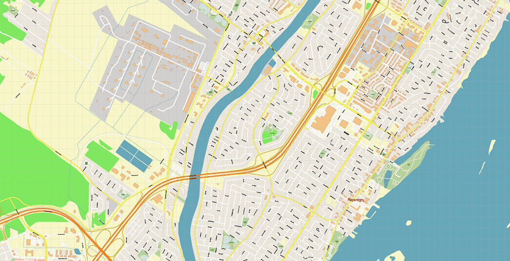
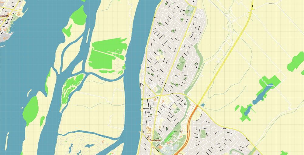
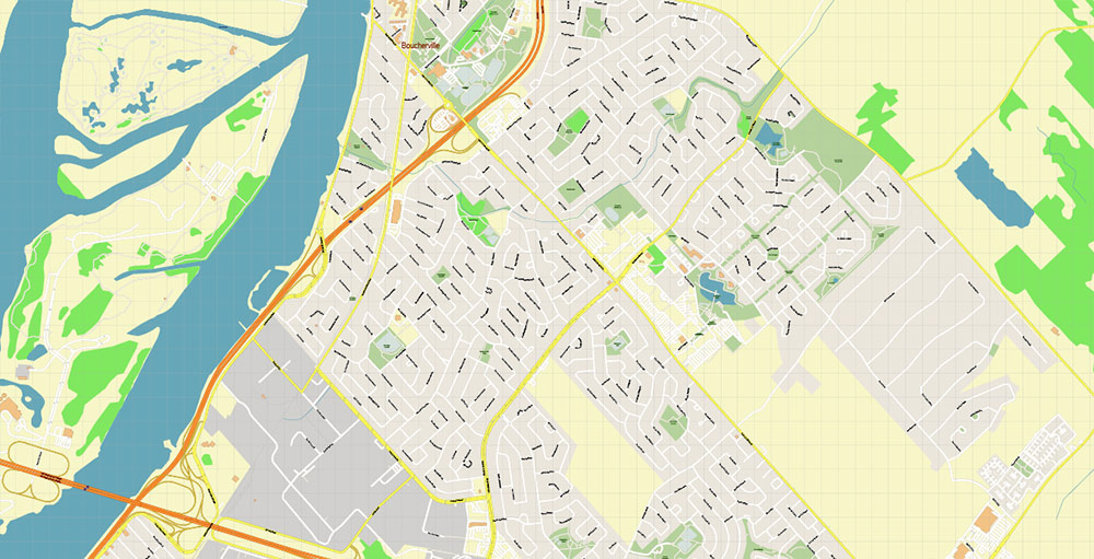
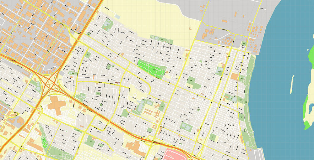
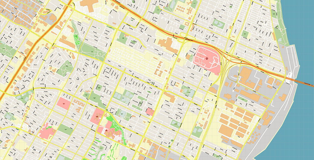
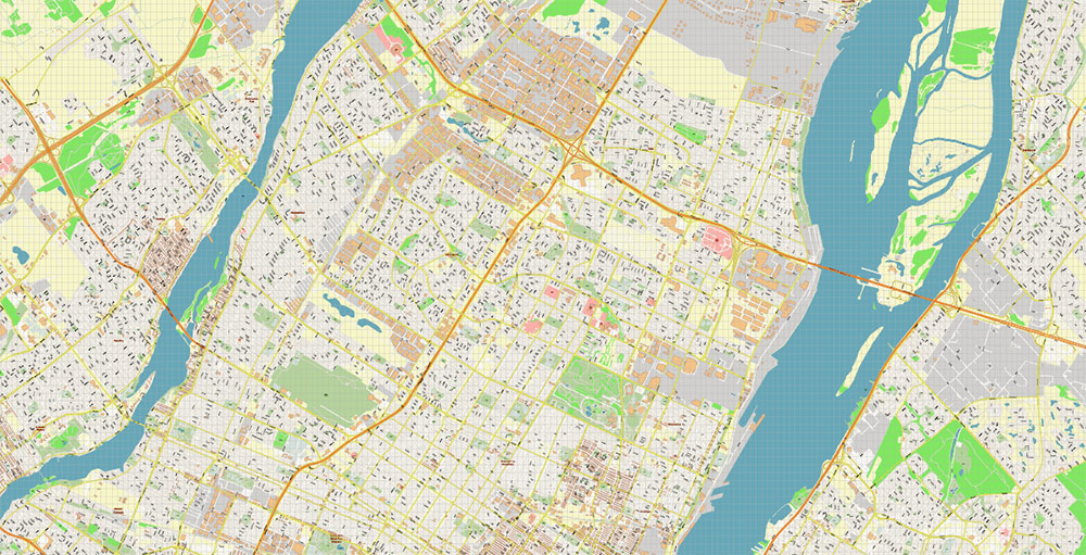
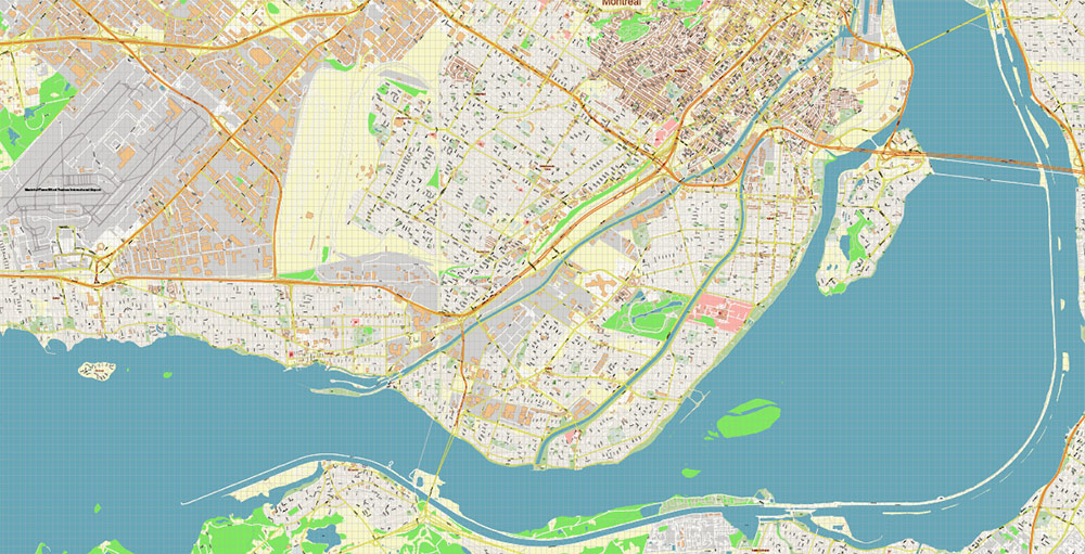
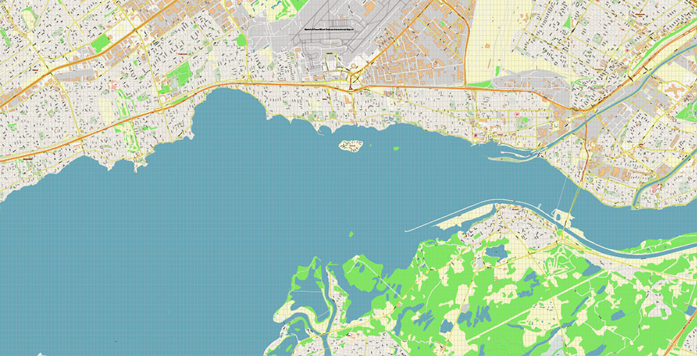
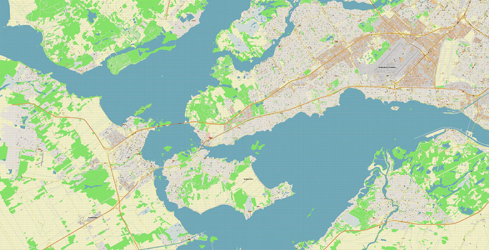
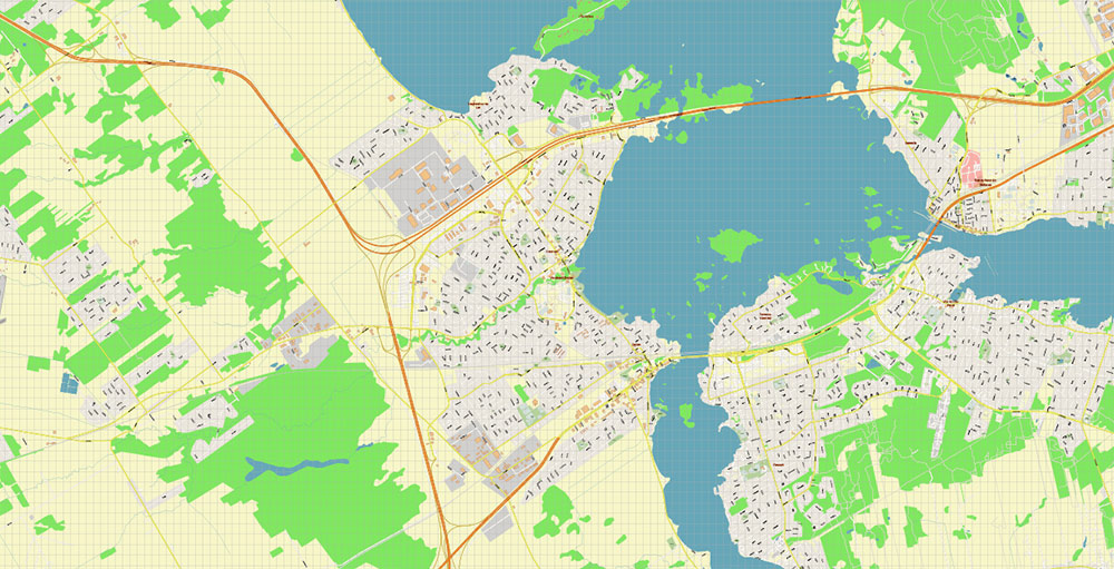
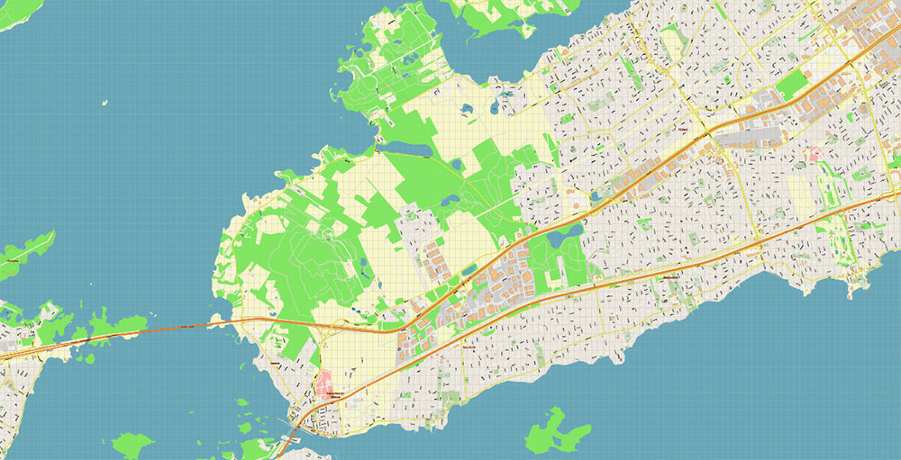
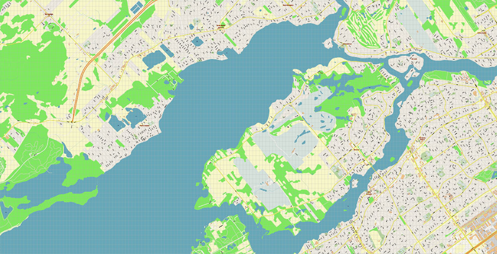
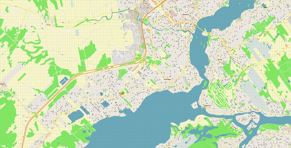
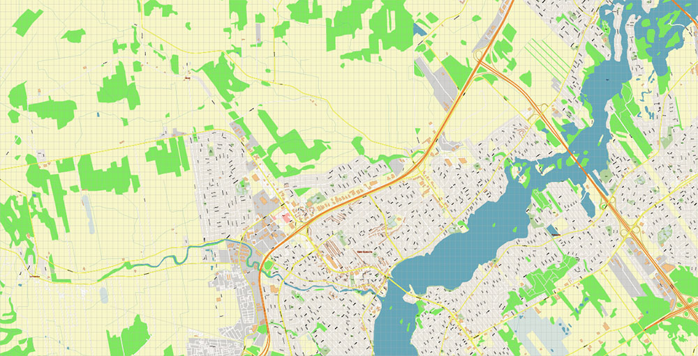
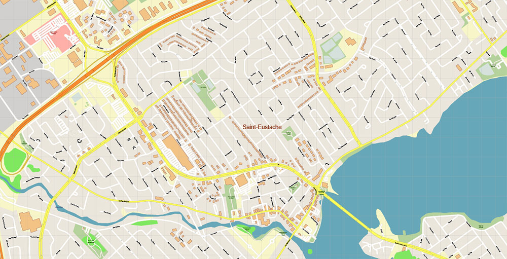
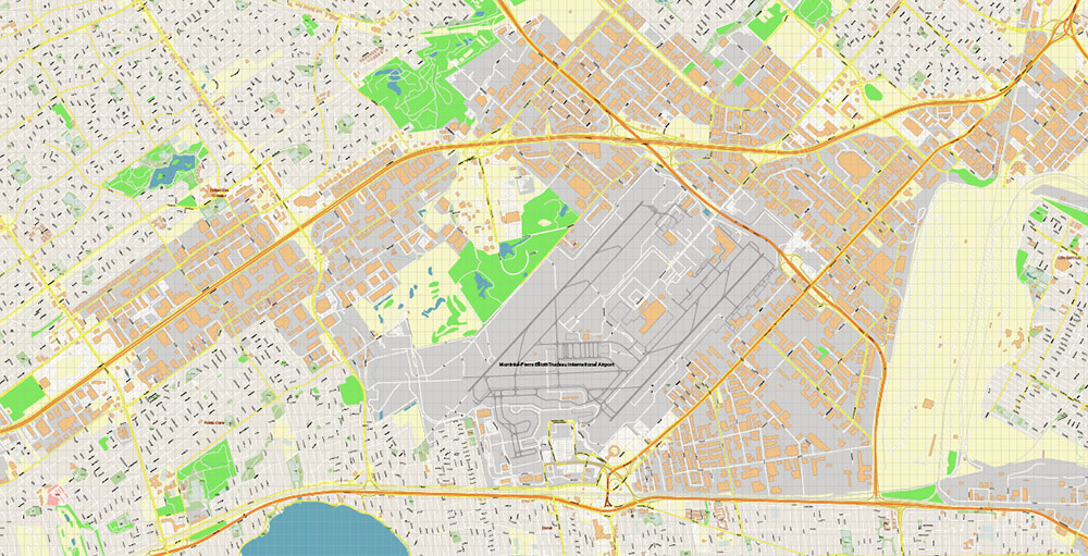
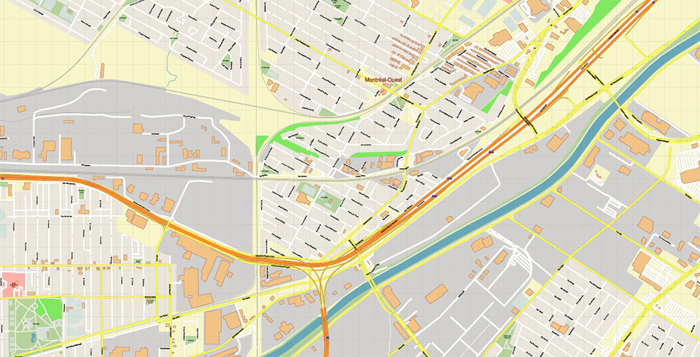
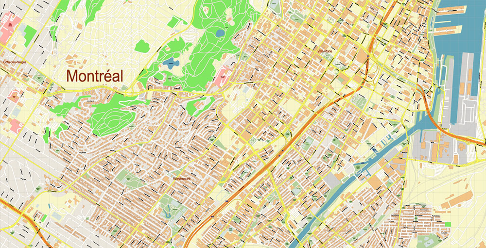
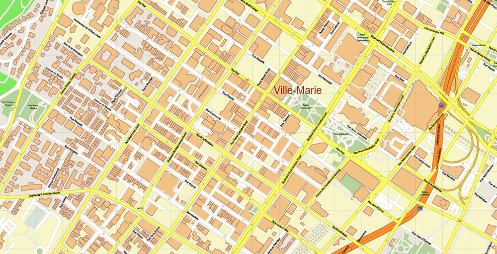
Printable Editable SVG + PDF Vector Map of Montreal Quebec Canada detailed City Plan scale 1:3291 full editable SVG + Adobe PDF Street Map in layers in 1 archive, scalable, text/curves format all names, 193 MB ZIP
All street names, Main Objects, Buildings. Map for design, printing, arts, projects, presentations, for architects, designers, and builders, business, logistics.
If you need: We can add some objects to this map (add-on layers) – for example, zip codes areas with numbers, or any other.
Free for our customers.
Need AutoCAD DWG / DXF or any other format? Please, contact us!
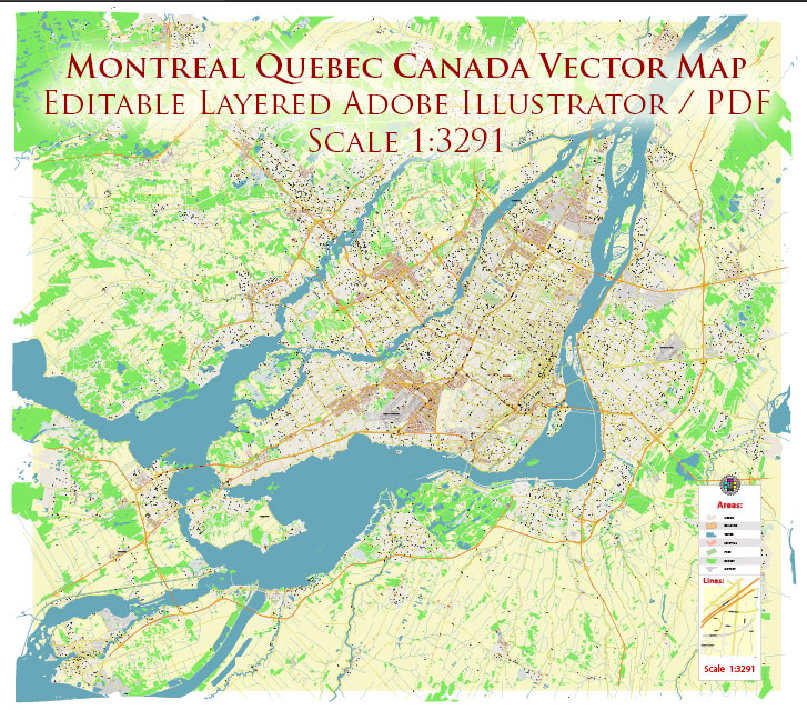
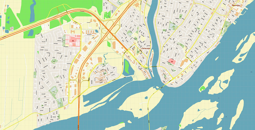
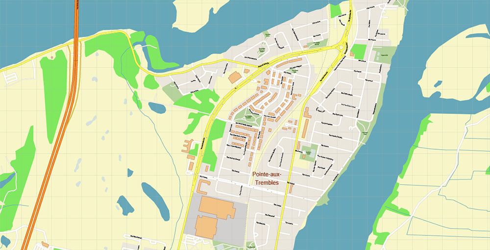
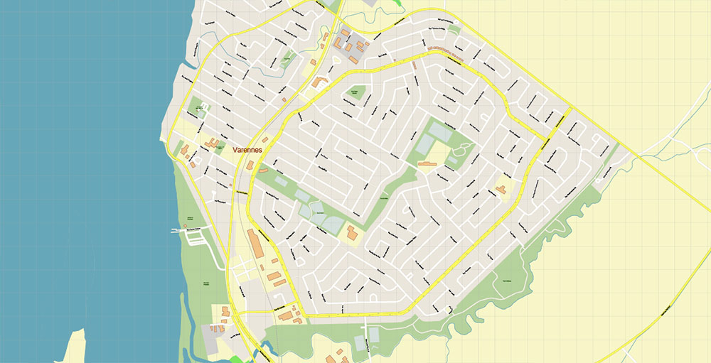
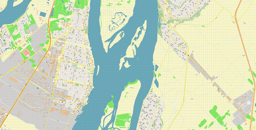
Montreal Quebec Canada SVG + PDF Vector Map: Accurate High Detailed City Plan editable SVG + Adobe PDF Street Map in layers
Layers list:
- Legend
- Grids
- Labels of roads
- Names of places (city, hamlet, etc.)
- Names of objects (hospitals, parks, water)
- Names of main streets
- Names of civil streets
- Arrows of street drive direction
- Main Streets, roads
- Civil streets
- Railroads
- Buildings
- Airports and heliports
- Water objects (rivers, lakes, ponds)
- Waterways
- Color fills (parks, hospital areas, land use, etc.)
- Background
Montreal Quebec Canada SVG + PDF Vector Map: Accurate High Detailed City Plan editable SVG + Adobe PDF Street Map in layers
Montreal Quebec Canada SVG + PDF Vector Map: Accurate High Detailed City Plan editable SVG + Adobe PDF Street Map in layers
Montreal Quebec Canada SVG + PDF Vector Map: Accurate High Detailed City Plan editable SVG + Adobe PDF Street Map in layers
Montreal Quebec Canada SVG + PDF Vector Map: Accurate High Detailed City Plan editable SVG + Adobe PDF Street Map in layers
Montreal Quebec Canada SVG + PDF Vector Map: Accurate High Detailed City Plan editable SVG + Adobe PDF Street Map in layers
Montreal Quebec Canada SVG + PDF Vector Map: Accurate High Detailed City Plan editable SVG + Adobe PDF Street Map in layers
Montreal Quebec Canada SVG + PDF Vector Map: Accurate High Detailed City Plan editable SVG + Adobe PDF Street Map in layers
Montreal Quebec Canada SVG + PDF Vector Map: Accurate High Detailed City Plan editable SVG + Adobe PDF Street Map in layers
Montreal Quebec Canada SVG + PDF Vector Map: Accurate High Detailed City Plan editable SVG + Adobe PDF Street Map in layers
Montreal Quebec Canada SVG + PDF Vector Map: Accurate High Detailed City Plan editable SVG + Adobe PDF Street Map in layers
Montreal Quebec Canada SVG + PDF Vector Map: Accurate High Detailed City Plan editable SVG + Adobe PDF Street Map in layers
Montreal Quebec Canada SVG + PDF Vector Map: Accurate High Detailed City Plan editable SVG + Adobe PDF Street Map in layers
Montreal Quebec Canada SVG + PDF Vector Map: Accurate High Detailed City Plan editable SVG + Adobe PDF Street Map in layers
Montreal Quebec Canada SVG + PDF Vector Map: Accurate High Detailed City Plan editable SVG + Adobe PDF Street Map in layers
Montreal Quebec Canada SVG + PDF Vector Map: Accurate High Detailed City Plan editable SVG + Adobe PDF Street Map in layers
Montreal Quebec Canada SVG + PDF Vector Map: Accurate High Detailed City Plan editable SVG + Adobe PDF Street Map in layers

Montreal Quebec Canada SVG + PDF Vector Map: Accurate High Detailed City Plan editable SVG + Adobe PDF Street Map in layers
Montreal Quebec Canada SVG + PDF Vector Map: Accurate High Detailed City Plan editable SVG + Adobe PDF Street Map in layers
Montreal Quebec Canada SVG + PDF Vector Map: Accurate High Detailed City Plan editable SVG + Adobe PDF Street Map in layers
Montreal Quebec Canada SVG + PDF Vector Map: Accurate High Detailed City Plan editable SVG + Adobe PDF Street Map in layers
Montreal Quebec Canada SVG + PDF Vector Map: Accurate High Detailed City Plan editable SVG + Adobe PDF Street Map in layers
Montreal Quebec Canada SVG + PDF Vector Map: Accurate High Detailed City Plan editable SVG + Adobe PDF Street Map in layers
Montreal Quebec Canada SVG + PDF Vector Map: Accurate High Detailed City Plan editable SVG + Adobe PDF Street Map in layers
Montreal Quebec Canada SVG + PDF Vector Map: Accurate High Detailed City Plan editable SVG + Adobe PDF Street Map in layers
Montreal Quebec Canada SVG + PDF Vector Map: Accurate High Detailed City Plan editable SVG + Adobe PDF Street Map in layers
Montreal Quebec Canada SVG + PDF Vector Map: Accurate High Detailed City Plan editable SVG + Adobe PDF Street Map in layers
Montreal Quebec Canada SVG + PDF Vector Map: Accurate High Detailed City Plan editable SVG + Adobe PDF Street Map in layers
Montreal Quebec Canada SVG + PDF Vector Map: Accurate High Detailed City Plan editable SVG + Adobe PDF Street Map in layers
Montreal Quebec Canada SVG + PDF Vector Map: Accurate High Detailed City Plan editable SVG + Adobe PDF Street Map in layers
Montreal Quebec Canada SVG + PDF Vector Map: Accurate High Detailed City Plan editable SVG + Adobe PDF Street Map in layers
Montreal Quebec Canada SVG + PDF Vector Map: Accurate High Detailed City Plan editable SVG + Adobe PDF Street Map in layers
Montreal Quebec Canada SVG + PDF Vector Map: Accurate High Detailed City Plan editable SVG + Adobe PDF Street Map in layers
Montreal Quebec Canada SVG + PDF Vector Map: Accurate High Detailed City Plan editable SVG + Adobe PDF Street Map in layers
Montreal Quebec Canada SVG + PDF Vector Map: Accurate High Detailed City Plan editable SVG + Adobe PDF Street Map in layers

 Author: Kirill Shrayber, Ph.D. FRGS


