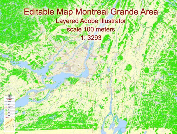
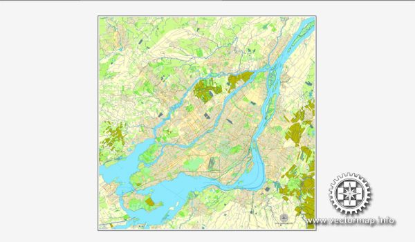
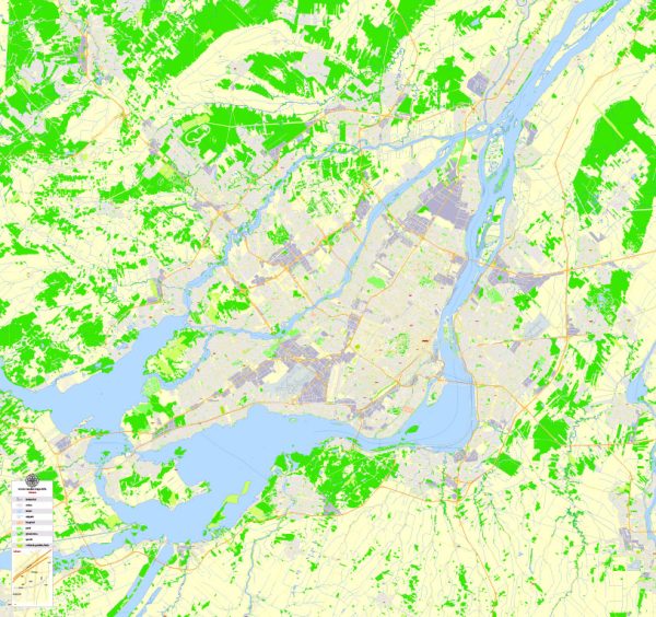
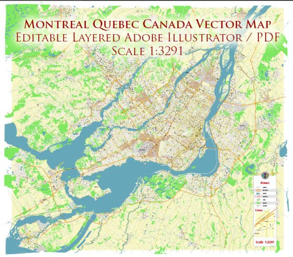
Montreal, located in the province of Quebec, Canada, is a vibrant and culturally rich city with a network of waterways, bridges, and main streets that contribute to its unique character. Here’s an overview of some of the principal waterways, bridges, and main streets in Montreal:
Waterways:
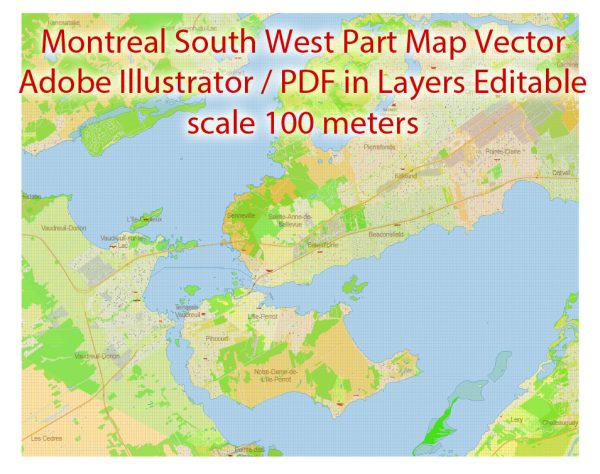
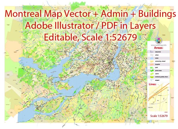
- Saint Lawrence River: Montreal is situated on the Island of Montreal, at the confluence of the Saint Lawrence and Ottawa Rivers. The Saint Lawrence River is a major waterway that connects the Great Lakes to the Atlantic Ocean.
- Lachine Canal: This historic canal runs through the southwestern part of the island. Originally built for industrial purposes, it is now a recreational area with parks, bike paths, and walking trails.
- Rivière des Prairies: This narrow strait separates the Island of Montreal from the northern mainland. Several bridges connect the island to the northern suburbs across this waterway.
Bridges:
- Jacques Cartier Bridge: A prominent and iconic bridge that spans the Saint Lawrence River, connecting Montreal to the south shore. It offers stunning views of the city skyline and is illuminated at night.
- Champlain Bridge: Connecting the Island of Montreal to the south shore, the Champlain Bridge is a major transportation artery for both vehicular and public transit traffic.
- Victoria Bridge: An important historic bridge that crosses the Saint Lawrence River, connecting Montreal to the south shore. It was one of the first bridges to span the river.
- Pont de l’Île-aux-Tourtes: This bridge crosses the Lake of Two Mountains, connecting the western part of the island to the suburban areas in the west.
Main Streets:
- Sainte-Catherine Street: One of the city’s main commercial thoroughfares, Sainte-Catherine Street is known for its shops, restaurants, and theaters. It runs east-west through the heart of downtown Montreal.
- Sherbrooke Street: Another major east-west artery, Sherbrooke Street is characterized by its upscale shops, museums, and historic architecture. It extends from downtown Montreal through various neighborhoods.
- Boulevard Saint-Laurent: Often referred to as “The Main,” Boulevard Saint-Laurent is a culturally diverse street that cuts through the city north to south. It is known for its vibrant nightlife, shops, and diverse restaurants.
- Rue Saint-Denis: Located in the Plateau-Mont-Royal neighborhood, this street is lined with trendy boutiques, cafes, and restaurants. It’s a hub for the city’s artistic and bohemian communities.
Montreal’s waterways, bridges, and main streets collectively contribute to the city’s charm, providing residents and visitors with a diverse range of experiences and cultural offerings.

 Author: Kirill Shrayber, Ph.D.