Extended Description of the Vector Map
Printable Vector Map of Michigan South-East Area US in 2 parts in 1 archive, detailed fully editable Adobe Illustrator Road Map in layers, scalable, curves format all names, 515 MB ZIP
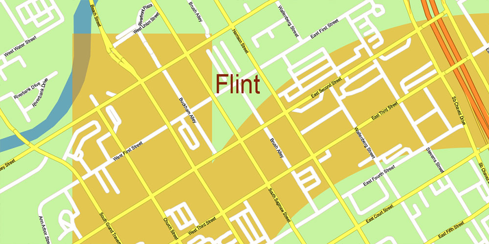
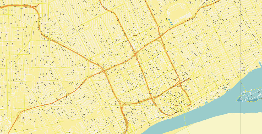
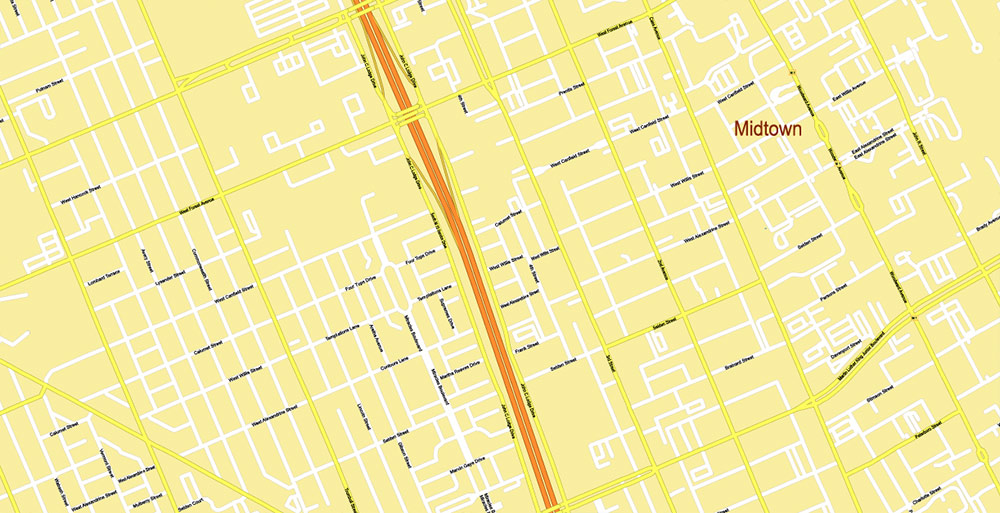
All streets and roads, All street names, Road labels, Counties. Map for design, printing, arts, projects, presentations, for architects, designers, and builders, business, logistics.
Also: We can add (additional layer for this map), any other objects for you. It’s free for our customers.
If you need any OTHER format – DWG, DXF, Corel, or something else – please, email us
Map covered area
Layers list:
- Grids and Scale
- Labels of roads
- Names of places (city, hamlet, etc.)
- Names of water objects (rivers, lakes, ponds)
- Names of Counties
- Names of principal streets and roads
- Names of residential streets and roads
- Main streets and roads
- Residential streets and roads
- Names Counties
- Airport and Heliports runways
- Water objects (areas)
- Waterways
- Counties areas
- Background
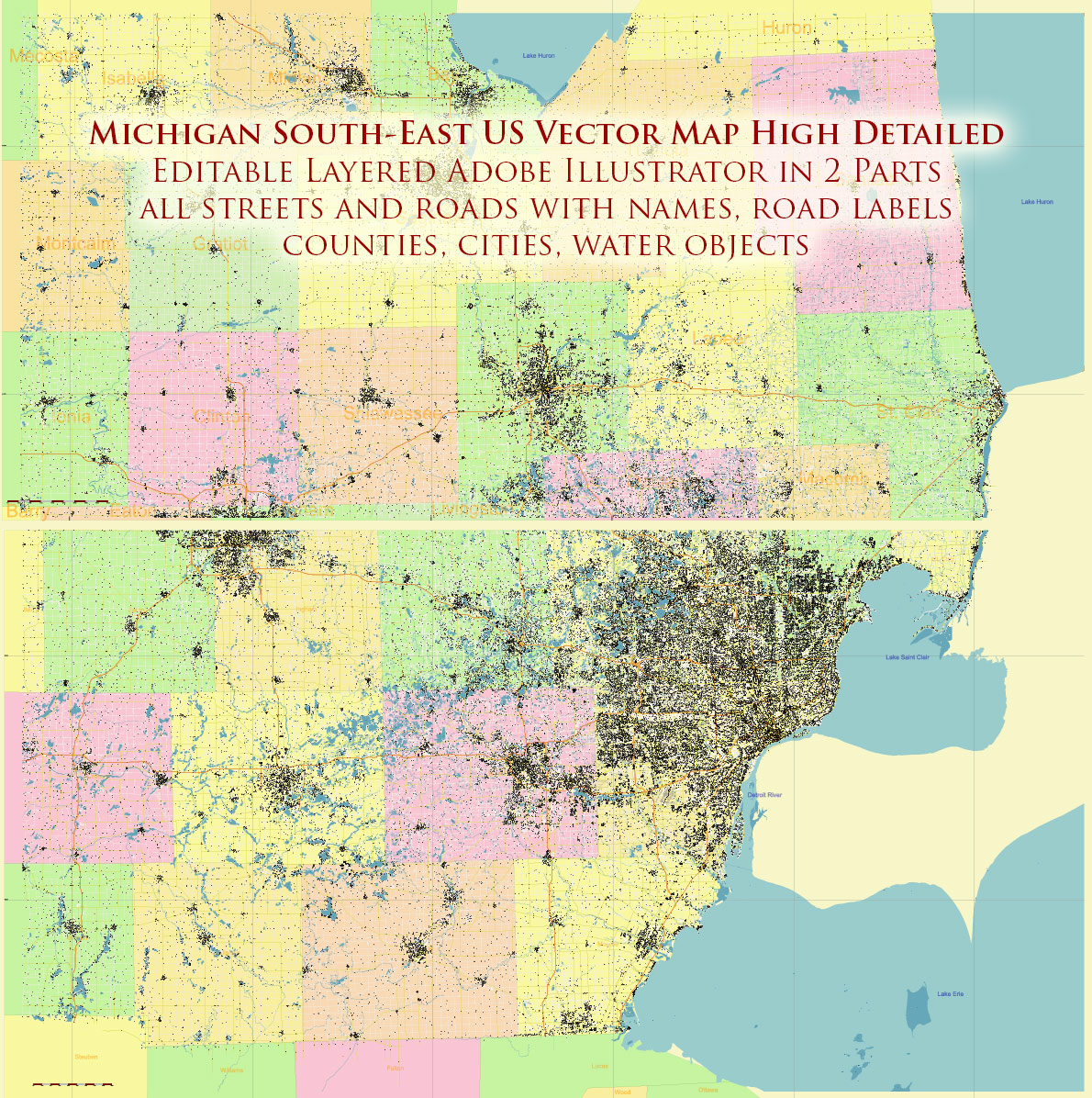
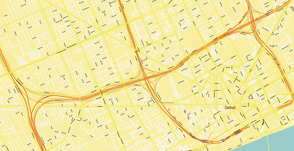
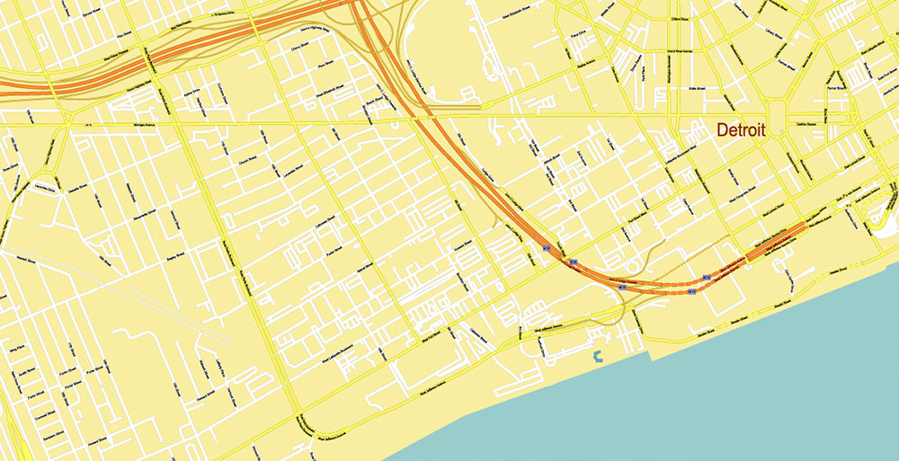
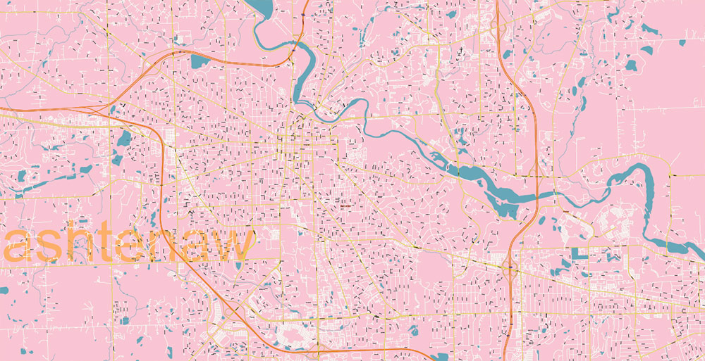
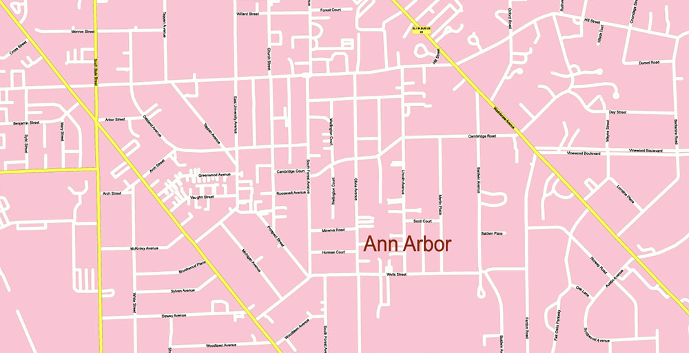
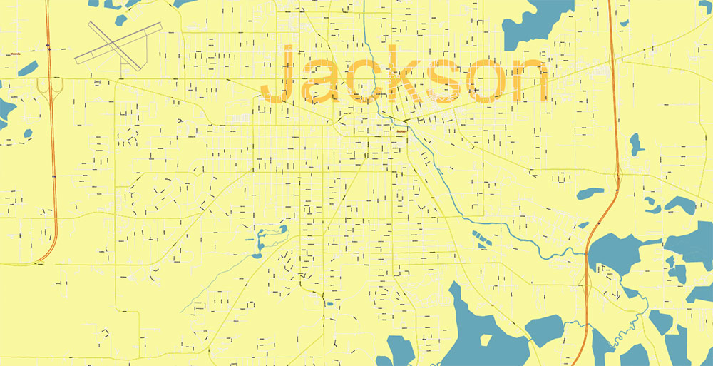
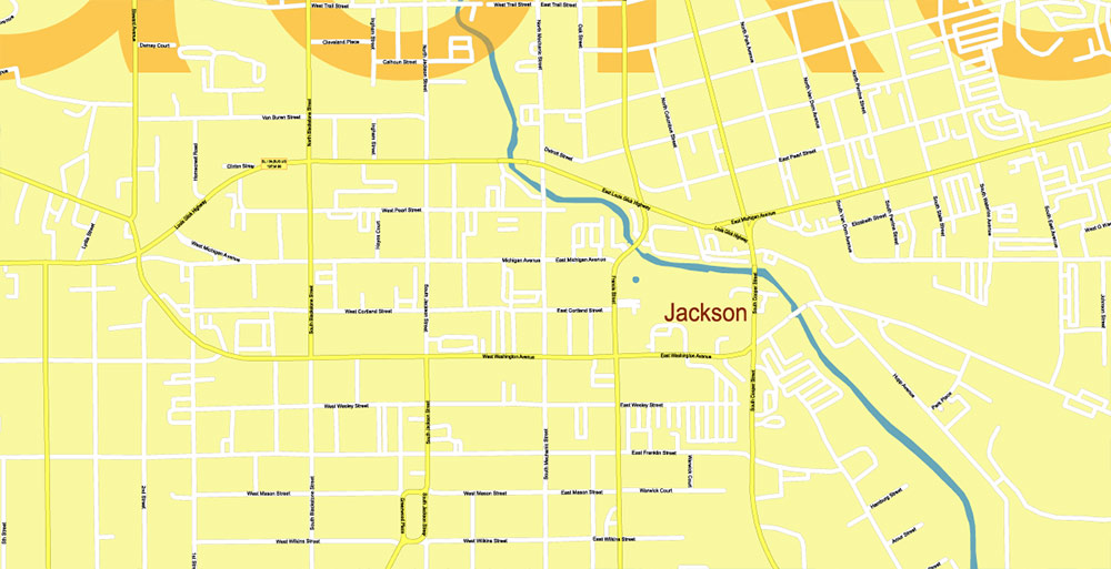
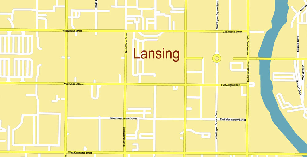
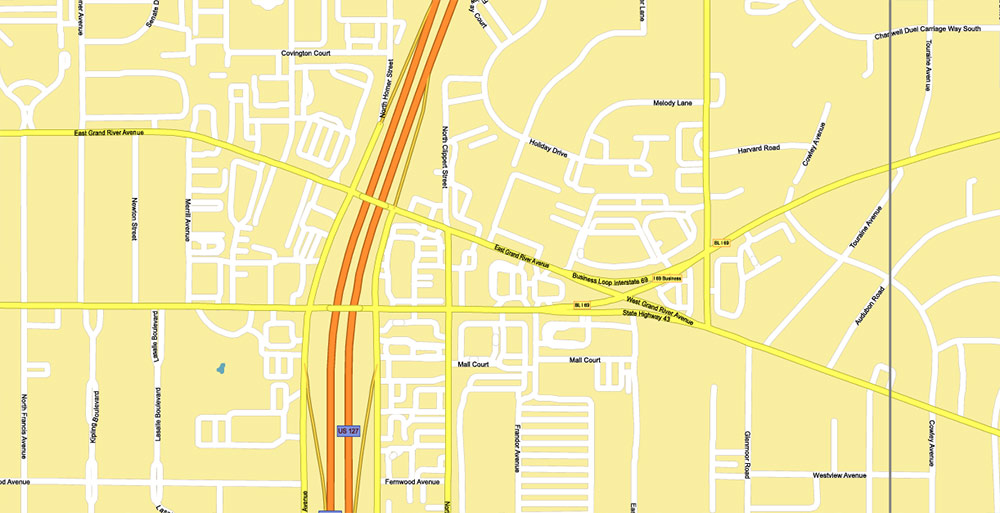
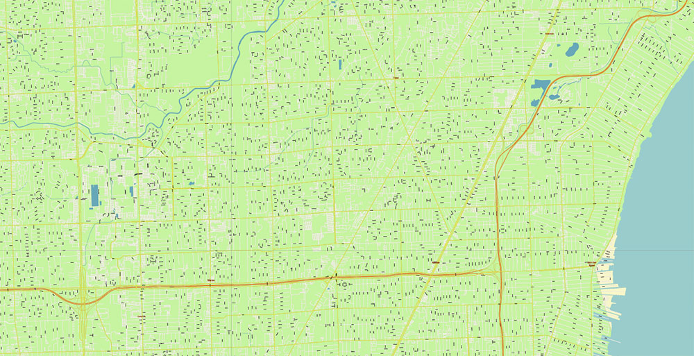
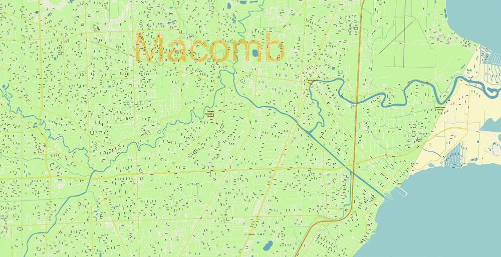
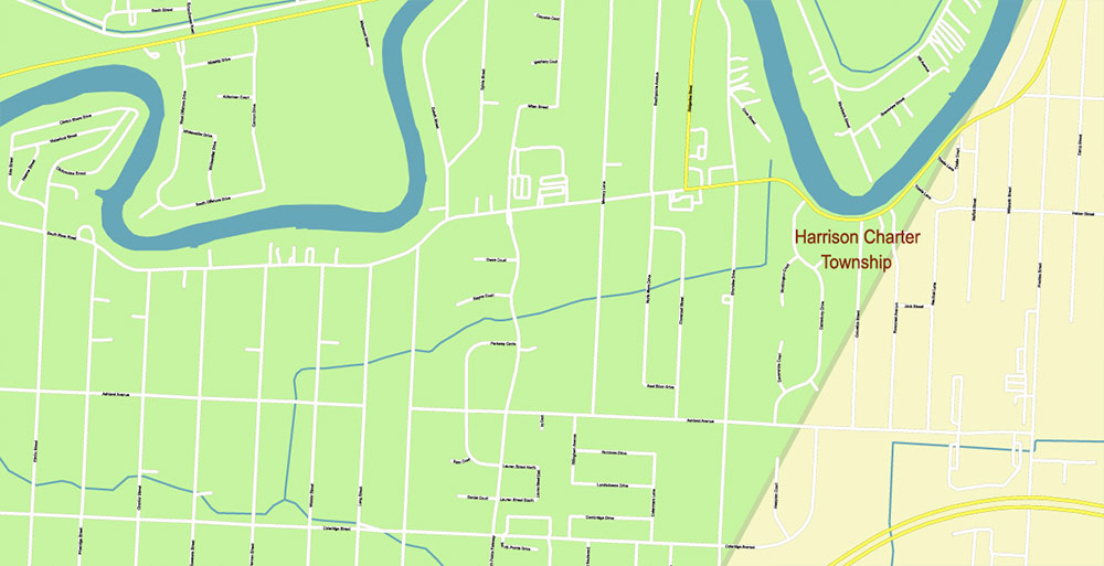
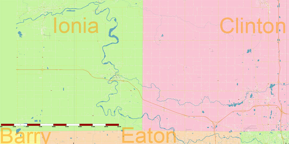
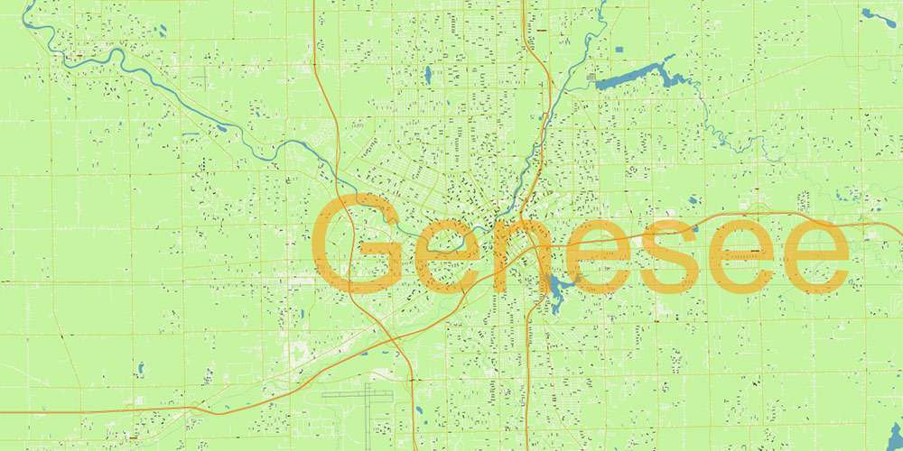
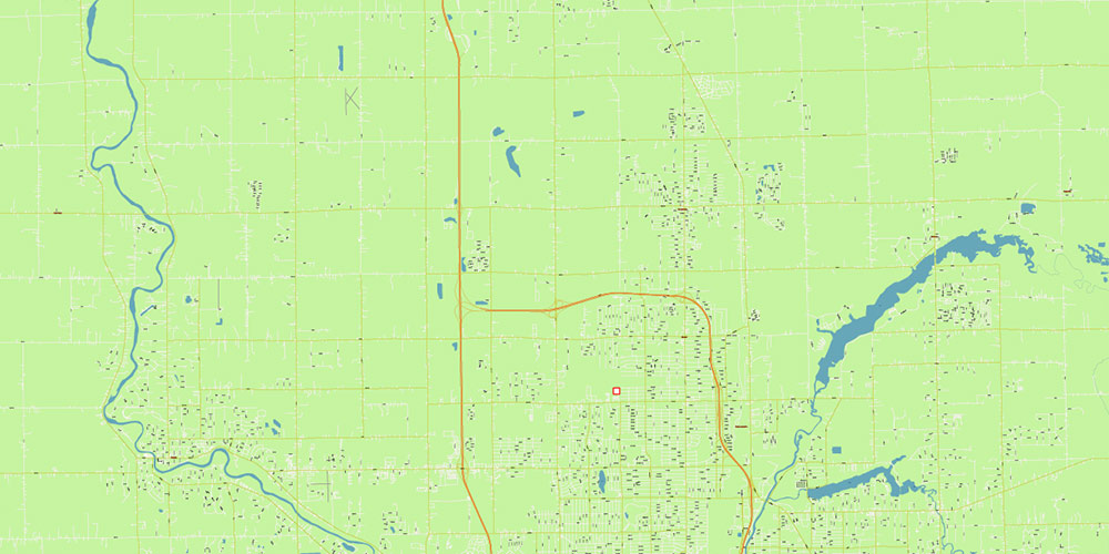
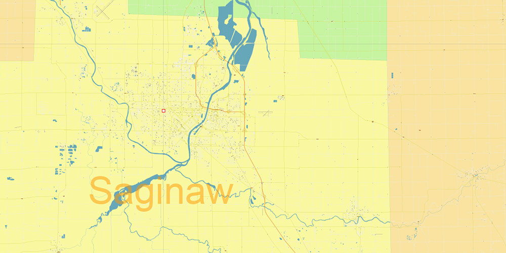
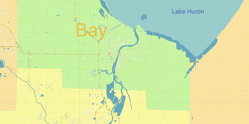
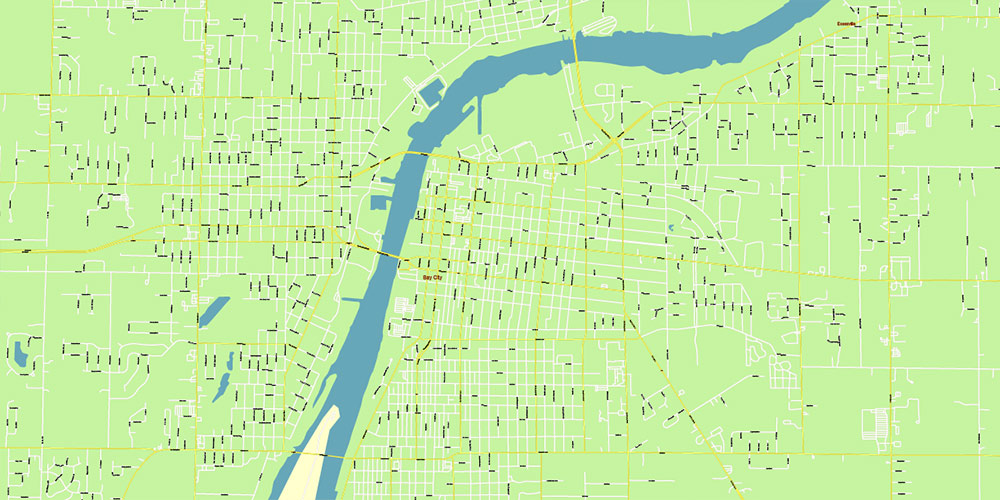
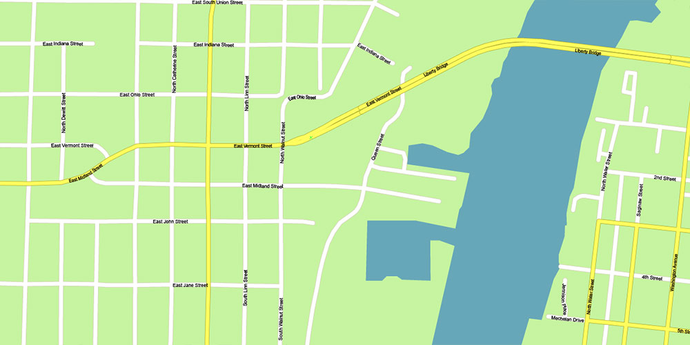
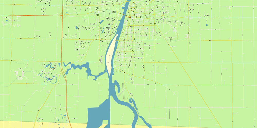
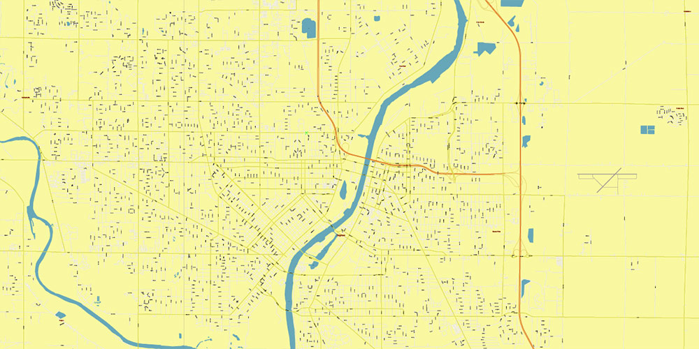
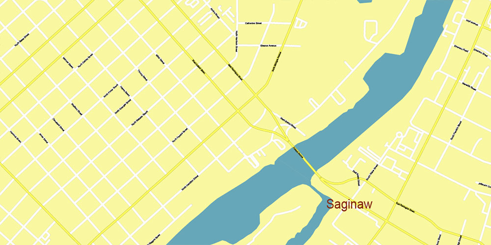
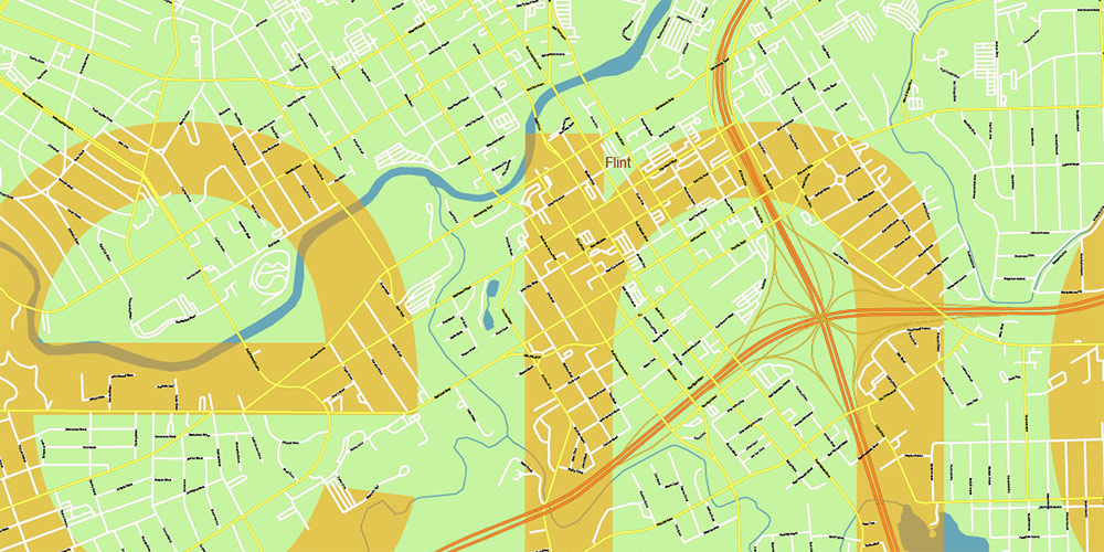
Michigan South-East area, US Vector Map: Extra High Detailed in 2 parts (all roads and streets with names) + Counties editable Adobe Illustrator in layers
Michigan South-East area, US Vector Map: Extra High Detailed in 2 parts (all roads and streets with names) + Counties editable Adobe Illustrator in layers
Michigan South-East area, US Vector Map: Extra High Detailed in 2 parts (all roads and streets with names) + Counties editable Adobe Illustrator in layers
Michigan South-East area, US Vector Map: Extra High Detailed in 2 parts (all roads and streets with names) + Counties editable Adobe Illustrator in layers
Michigan South-East area, US Vector Map: Extra High Detailed in 2 parts (all roads and streets with names) + Counties editable Adobe Illustrator in layers
Michigan South-East area, US Vector Map: Extra High Detailed in 2 parts (all roads and streets with names) + Counties editable Adobe Illustrator in layers
Michigan South-East area, US Vector Map: Extra High Detailed in 2 parts (all roads and streets with names) + Counties editable Adobe Illustrator in layers
Michigan South-East area, US Vector Map: Extra High Detailed in 2 parts (all roads and streets with names) + Counties editable Adobe Illustrator in layers
Michigan South-East area, US Vector Map: Extra High Detailed in 2 parts (all roads and streets with names) + Counties editable Adobe Illustrator in layers
Michigan South-East area, US Vector Map: Extra High Detailed in 2 parts (all roads and streets with names) + Counties editable Adobe Illustrator in layers

Michigan South-East area, US Vector Map: Extra High Detailed in 2 parts (all roads and streets with names) + Counties editable Adobe Illustrator in layers
Michigan South-East area, US Vector Map: Extra High Detailed in 2 parts (all roads and streets with names) + Counties editable Adobe Illustrator in layers
Michigan South-East area, US Vector Map: Extra High Detailed in 2 parts (all roads and streets with names) + Counties editable Adobe Illustrator in layers
Michigan South-East area, US Vector Map: Extra High Detailed in 2 parts (all roads and streets with names) + Counties editable Adobe Illustrator in layers
Michigan South-East area, US Vector Map: Extra High Detailed in 2 parts (all roads and streets with names) + Counties editable Adobe Illustrator in layers
Michigan South-East area, US Vector Map: Extra High Detailed in 2 parts (all roads and streets with names) + Counties editable Adobe Illustrator in layers
Michigan South-East area, US Vector Map: Extra High Detailed in 2 parts (all roads and streets with names) + Counties editable Adobe Illustrator in layers
Michigan South-East area, US Vector Map: Extra High Detailed in 2 parts (all roads and streets with names) + Counties editable Adobe Illustrator in layers
Michigan South-East area, US Vector Map: Extra High Detailed in 2 parts (all roads and streets with names) + Counties editable Adobe Illustrator in layers
Michigan South-East area, US Vector Map: Extra High Detailed in 2 parts (all roads and streets with names) + Counties editable Adobe Illustrator in layers
Michigan South-East area, US Vector Map: Extra High Detailed in 2 parts (all roads and streets with names) + Counties editable Adobe Illustrator in layers
Michigan South-East area, US Vector Map: Extra High Detailed in 2 parts (all roads and streets with names) + Counties editable Adobe Illustrator in layers
Michigan South-East area, US Vector Map: Extra High Detailed in 2 parts (all roads and streets with names) + Counties editable Adobe Illustrator in layers
Michigan South-East area, US Vector Map: Extra High Detailed in 2 parts (all roads and streets with names) + Counties editable Adobe Illustrator in layers

Michigan South-East area, US Vector Map: Extra High Detailed in 2 parts (all roads and streets with names) + Counties editable Adobe Illustrator in layers
Michigan South-East area, US Vector Map: Extra High Detailed in 2 parts (all roads and streets with names) + Counties editable Adobe Illustrator in layers

Michigan South-East area, US Vector Map: Extra High Detailed in 2 parts (all roads and streets with names) + Counties editable Adobe Illustrator in layers
Michigan South-East area, US Vector Map: Extra High Detailed in 2 parts (all roads and streets with names) + Counties editable Adobe Illustrator in layers

 Author: Kirill Shrayber, Ph.D. FRGS


 City Vector Map Exact High Detailed Urban Plan editable Adobe Illustrator Street Map in layers")