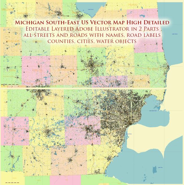
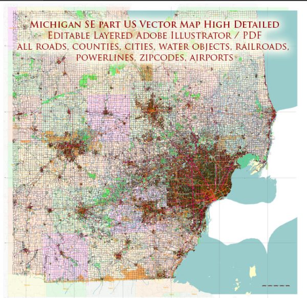
A general overview of the main cities, towns, and road infrastructure in the southeast part of Michigan.
Vectormap.Net provide you with the most accurate and up-to-date vector maps in Adobe Illustrator, PDF and other formats, designed for editing and printing. Please read the vector map descriptions carefully.
Main Cities and Towns:
- Detroit: Detroit is the largest city in Michigan and a major cultural and economic hub. Known for its historical significance in the automotive industry, it offers various attractions, including museums, sports venues, and a revitalized downtown area.
- Ann Arbor: Home to the University of Michigan, Ann Arbor is known for its vibrant arts scene, diverse culture, and academic institutions. It has a charming downtown area with shops, restaurants, and cultural events.
- Dearborn: Located just west of Detroit, Dearborn is known for its rich history and is home to the Henry Ford Museum and Greenfield Village, showcasing America’s industrial and technological progress.
- Ypsilanti: Adjacent to Ann Arbor, Ypsilanti is a city with a blend of historical and modern elements. Eastern Michigan University is situated here, contributing to the city’s cultural and educational atmosphere.
- Troy: A northern suburb of Detroit, Troy is a thriving community with a mix of residential, commercial, and industrial areas. It’s known for its shopping centers and business districts.
Road Infrastructure:
- Interstate Highways:
- I-94: Runs east-west, connecting Detroit to Ann Arbor and points west.
- I-75: Travels north-south, connecting Detroit to cities like Toledo and Flint.
- I-96: Runs east-west, linking Detroit to Lansing and Grand Rapids.
- State Highways:
- M-14: Connects Ann Arbor to the western suburbs of Detroit.
- M-39 (Southfield Freeway): North-south route connecting Detroit to the western suburbs.
- M-1 (Woodward Avenue): Historic route running from Detroit to Pontiac.
- Local Roads:
- Woodward Avenue: Not only a state highway but also a historic road, Woodward Avenue is known for its role in the automotive industry and hosts the Woodward Dream Cruise, a classic car event.
- Toll Roads:
- As of my last update, Michigan does not have major toll roads. However, it’s essential to check for any changes or developments in toll road infrastructure.
Please verify the current status of roads, as changes or new developments may have occurred since my last update. Additionally, consider using navigation apps or official state transportation websites for real-time traffic information and updates.


 Author: Kirill Shrayber, Ph.D.