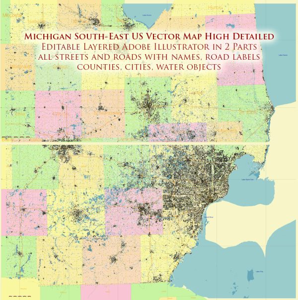
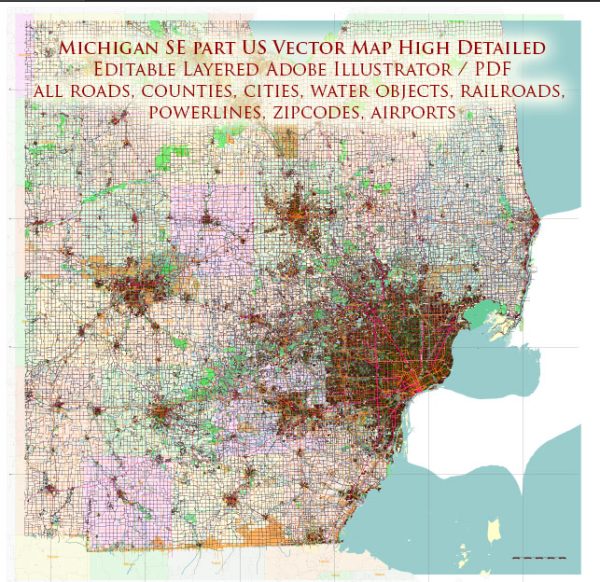
Michigan, located in the Great Lakes region of the United States, has abundant water resources, thanks to its proximity to the Great Lakes. In particular, the southeastern part of the state is home to a significant portion of Michigan’s water resources and numerous bridges. Here’s some information about the water resources and bridges in the southeastern part of Michigan:
Water Resources:
- Great Lakes: The southeastern part of Michigan is adjacent to Lake Erie, which is one of the five Great Lakes. Lake Erie is a vast source of freshwater, and it provides drinking water to millions of people in the region.
- Detroit River: The Detroit River flows between Lake St. Clair and Lake Erie, forming part of the border between the United States and Canada. This river plays a crucial role in connecting the Great Lakes system and is a significant waterway for transportation and commerce.
- Lake St. Clair: Lake St. Clair, located to the northeast of the Detroit metropolitan area, is another vital water resource in the region. It serves as a recreational area and is an important source of water for the local communities.
- Rivers and Tributaries: Numerous rivers and tributaries, such as the Huron River and Rouge River, flow through the southeastern part of Michigan. These water bodies provide water for various uses, including industrial, agricultural, and recreational purposes.
Bridges:
- Ambassador Bridge: The Ambassador Bridge is a prominent international bridge that connects Detroit, Michigan, with Windsor, Ontario, Canada. It is a critical transportation link for trade and commerce between the United States and Canada.
- Mackinac Bridge: While not in the southeastern part of the state, the Mackinac Bridge is one of Michigan’s most famous bridges. It connects the Upper Peninsula to the Lower Peninsula and is a significant landmark in the state.
- Various Road and Highway Bridges: The southeastern part of Michigan is densely populated and urbanized, so there are numerous road and highway bridges that cross over rivers, canals, and other bodies of water to facilitate transportation in the region.
- Railroad Bridges: There are several railroad bridges that span various waterways in the southeastern part of the state, supporting the movement of goods and people by rail.
These water resources and bridges are essential for transportation, commerce, recreation, and the overall quality of life in southeastern Michigan. They contribute to the economic and environmental well-being of the region and are carefully maintained and managed to ensure their continued functionality and sustainability.


 Author: Kirill Shrayber, Ph.D.