Extended Description of the Vector Map
Printable Vector Map of Marysville + Yuba City + Olivehurst California USA detailed street map scale 1:3643 full editable Adobe Illustrator scalable, text all names, 2 MB ZIP
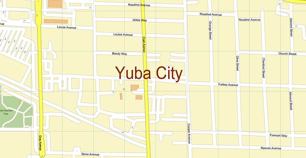
All street names, Main Objects, Buildings. Map for design, printing, arts, projects, presentations, for architects, designers, and builders, business, logistics.
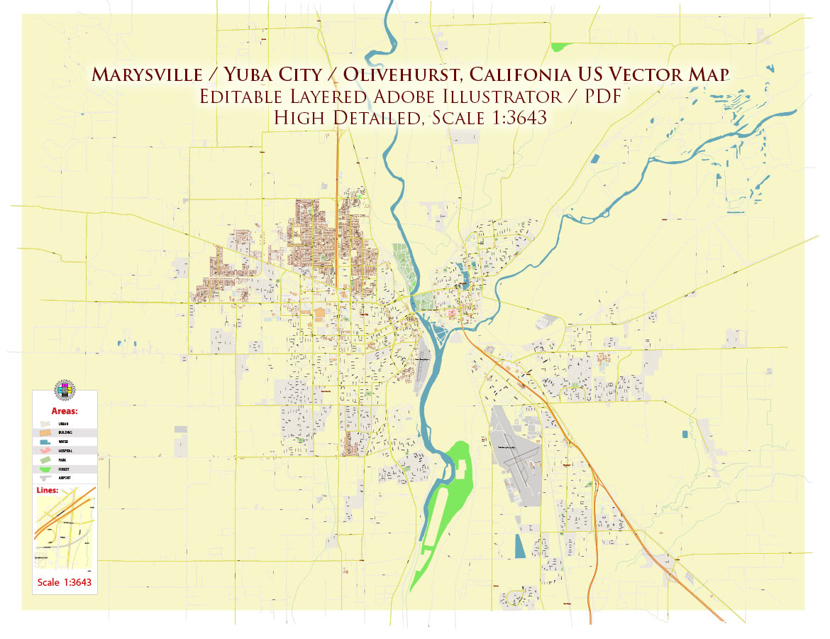
Marysville + Yuba City + Olivehurst California USA Map Vector Exact City Plan High Detailed Street Map editable Adobe Illustrator in layers
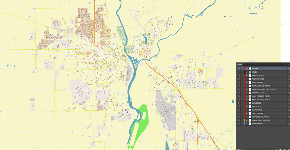
Layers list:
- Legend
- Grids
- Labels of roads
- Names of places (city, hamlet, etc.)
- Names of objects (parks, water, Hospitals)
- Names of main streets
- Names of residential streets
- Arrows of streets
- Main Streets, roads
- Residential streets
- Buildings
- Airports and Heliports
- Water objects (rivers, lakes, ponds)
- Waterways
- Color fills (parks, hospital areas, land use, etc.)
- Background
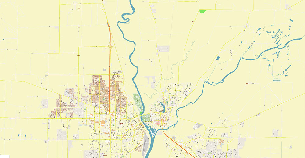
The most exact and detailed map of the city in scale.
For Editing and High-Quality Printing
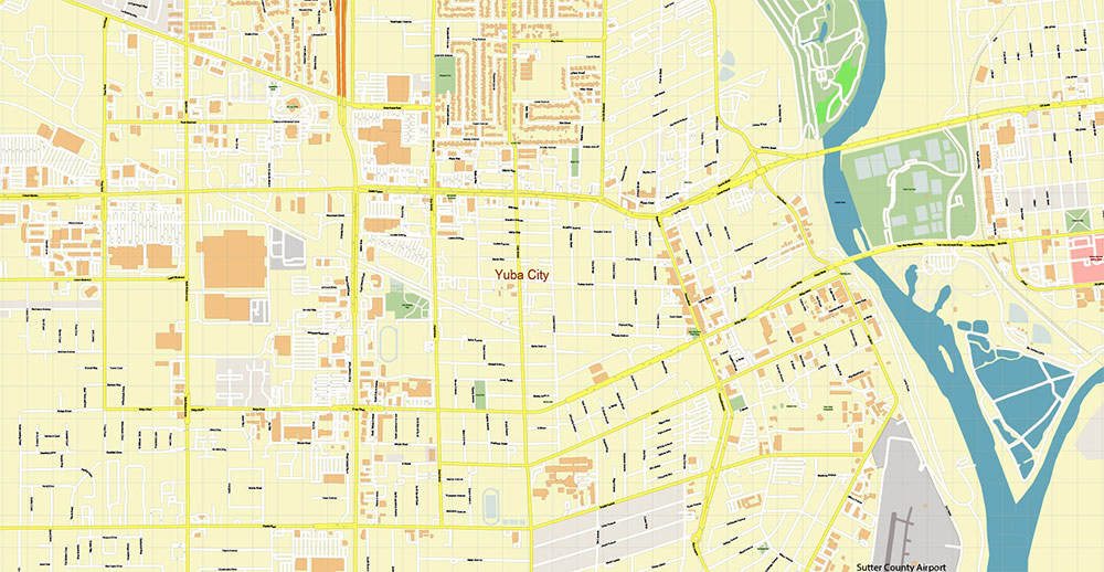
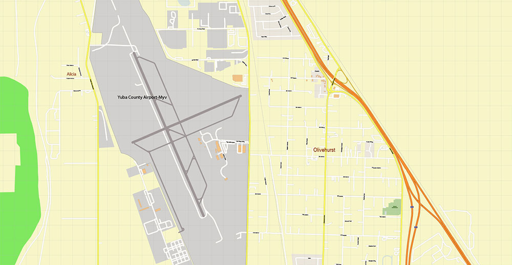
Marysville + Yuba City + Olivehurst California USA Map Vector Exact City Plan High Detailed Street Map editable Adobe Illustrator in layers
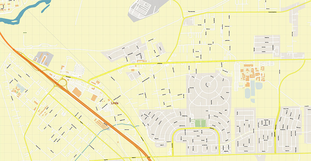
Marysville + Yuba City + Olivehurst California USA Map Vector Exact City Plan High Detailed Street Map editable Adobe Illustrator in layers
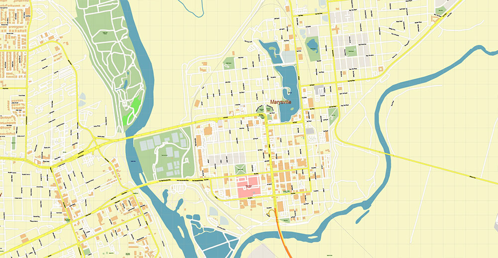
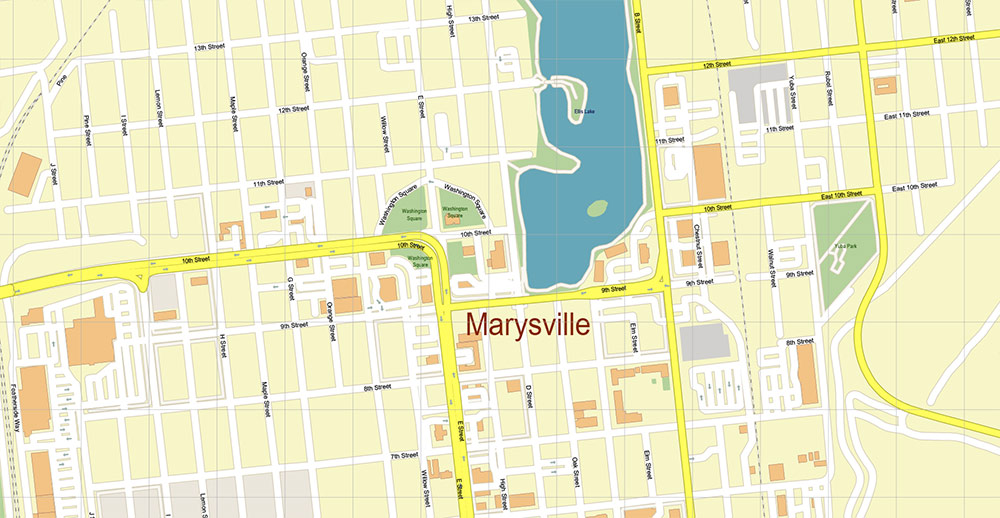
Marysville + Yuba City + Olivehurst California USA Map Vector Exact City Plan High Detailed Street Map editable Adobe Illustrator in layers
Marysville + Yuba City + Olivehurst California USA Map Vector Exact City Plan High Detailed Street Map editable Adobe Illustrator in layers
Marysville + Yuba City + Olivehurst California USA Map Vector Exact City Plan High Detailed Street Map editable Adobe Illustrator in layers
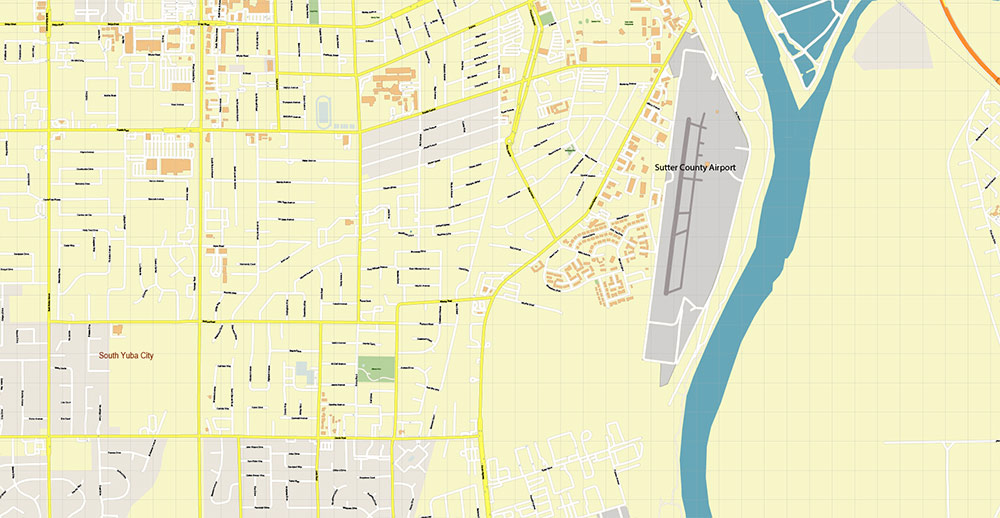
Marysville + Yuba City + Olivehurst California USA Map Vector Exact City Plan High Detailed Street Map editable Adobe Illustrator in layers
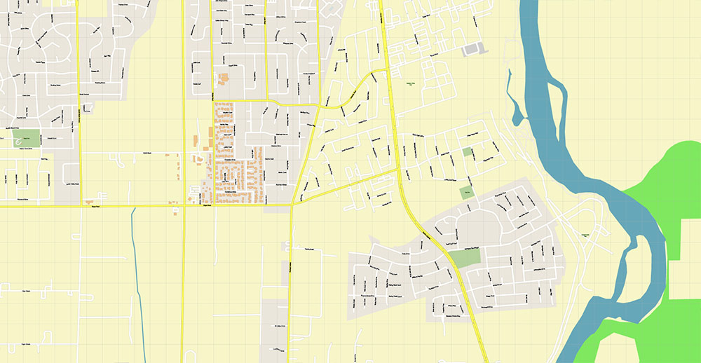
Marysville + Yuba City + Olivehurst California USA Map Vector Exact City Plan High Detailed Street Map editable Adobe Illustrator in layers
Marysville + Yuba City + Olivehurst California USA Map Vector Exact City Plan High Detailed Street Map editable Adobe Illustrator in layers
Marysville + Yuba City + Olivehurst California USA Map Vector Exact City Plan High Detailed Street Map editable Adobe Illustrator in layers
Marysville + Yuba City + Olivehurst California USA Map Vector Exact City Plan High Detailed Street Map editable Adobe Illustrator in layers

 Author: Kirill Shrayber, Ph.D. FRGS

