Extended Description of the Vector Map
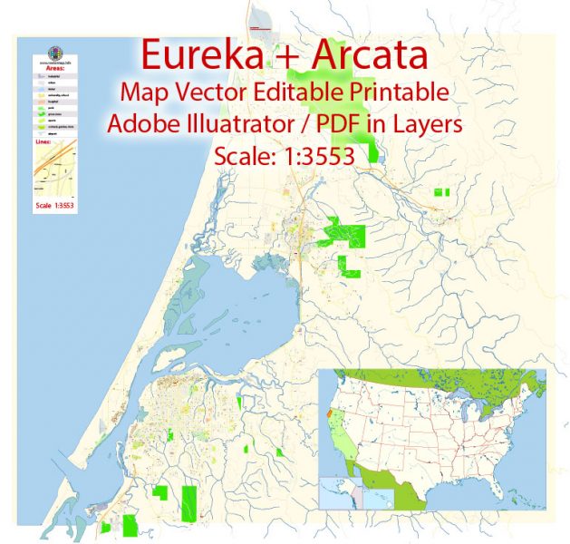
Printable PDF Vector Map of Arcata + Eureka California US detailed City Plan scale 1:3553 full editable Adobe PDF Street Map in layers , scalable, text format all names, 11 mb ZIP
All streets names, Main Objects, Buildings. Map for design, printing, arts, projects, presentations, for architects, designers and builders, business, logistics.
Layers: color_fills, water, streets_roads, labels_roads, names_objects, names_streets, names_places, water, buildings, grids, legend, etc.
The most exact and detailed map of the city in scale.
For Editing and High Quality Printing
DWG, DXF and other formats – on request, same price, please, contact
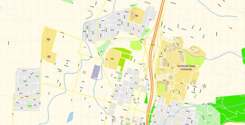
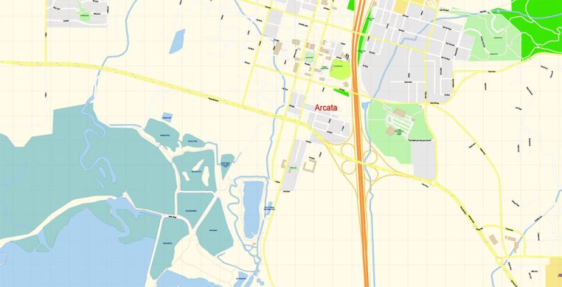
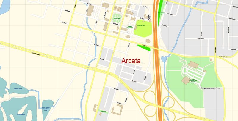
Arcata
City in California
Arcata, originally Union Town or Union, is a city adjacent to the Arcata Bay portion of Humboldt Bay in Humboldt County, California, United States. At the 2010 census, Arcata’s population was 17,231. Arcata, located 280 miles north of San Francisco, is home to Humboldt State University.
Elevation: 7.01 m
ZIP codes: 95518, 95521
Population: 18,000
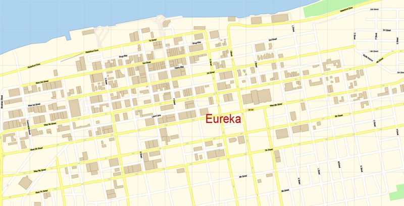
Eureka
City in California
Eureka is a port city in Northern California. Its Old Town district features elaborate Victorian houses such as the nearby Carson Mansion. Sequoia Park Zoo is home to pandas and primates, and features a walk-through aviary. Next to the zoo, Sequoia Park is home to massive old-growth redwood trees. Guided boat cruises aboard the early-1900s Madaket ferry take in the sights, seals and birdlife of Humboldt Bay.
Elevation: 12 m
Population: 27,177
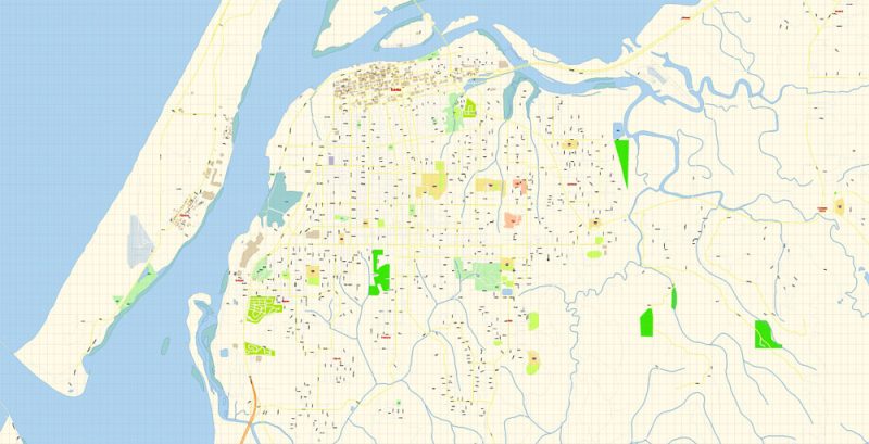
Arcata + Eureka PDF Map Vector Exact City Plan California preview 1
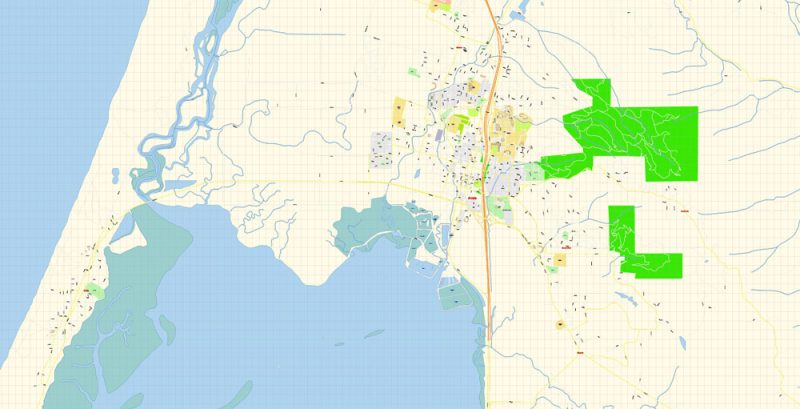
Arcata + Eureka PDF Map Vector Exact City Plan California preview 2
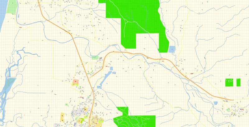
Arcata + Eureka PDF Map Vector Exact City Plan California preview 3
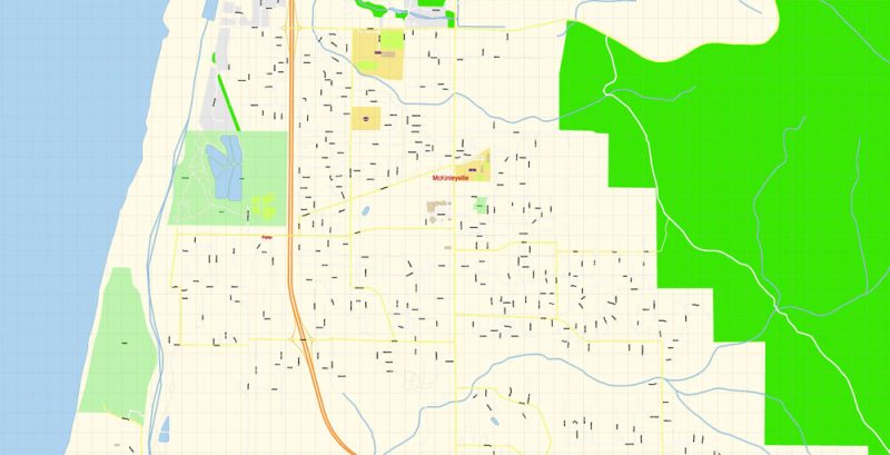
Arcata + Eureka PDF Map Vector Exact City Plan California preview 4
Arcata + Eureka PDF Map Vector Exact City Plan California preview 5
Arcata + Eureka PDF Map Vector Exact City Plan California preview 6
Arcata + Eureka PDF Map Vector Exact City Plan California preview 7
Arcata + Eureka PDF Map Vector Exact City Plan California preview 8
Arcata + Eureka PDF Map Vector Exact City Plan California overview
Free US vector maps

Free Download Vector Map US County and State Adobe Illustrator
Free_Vector_Map_US_States_County_Map.ai
Free Download Vector Map US County and State Adobe PDF
Free_Vector_Map_US_States_County_Map.pdf

Free Download Vector Map US With States Names, Adobe Illustrator
Free_Map_of_USA_with_state_names_en.ai
Free Download Vector Map US With States Names, Adobe PDF
Free_Map_of_USA_with_state_names_en.pdf
From WIKI
Free vector map World, Adobe Illustrator, download now maps vector clipart
Map for design, projects, presentation free to use as you like.
See also: TERMS & CONDITIONS: SOFTWARE LICENSE AGREEMENT FOR DIGITAL CARTOGRAPHIC DATA.
Need more USA Vector Maps, printable and editable?


 Author: Kirill Shrayber, Ph.D. FRGS

