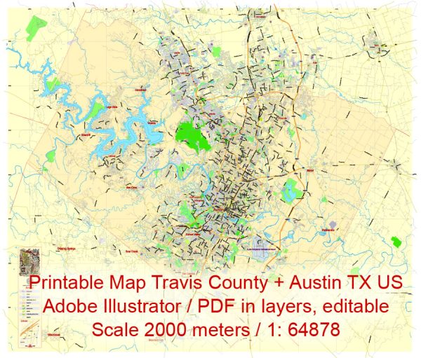
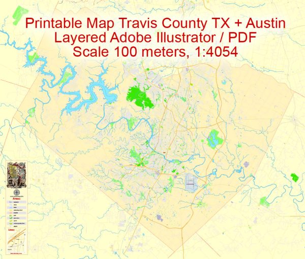
a general description of the principal waterways, bridges, and main streets in Travis County and Austin, Texas. Vectormap.Net provide you with the most accurate and up-to-date vector maps in Adobe Illustrator, PDF and other formats, designed for editing and printing. Please read the vector map descriptions carefully.
Waterways:
- Colorado River: The Colorado River runs through Austin and Travis County, playing a significant role in the region’s geography and providing a water source. Lady Bird Lake, formed by the Longhorn Dam on the Colorado River, is a prominent feature in downtown Austin.
- Barton Creek: Barton Creek and its greenbelt are popular recreational areas, offering hiking and outdoor activities. The creek flows into the Colorado River.
- Walnut Creek: Another notable waterway in the area is Walnut Creek, which flows into the Colorado River.
Bridges:
- Pennybacker Bridge (360 Bridge): This iconic bridge spans Lake Austin on Loop 360 (Capital of Texas Highway) and provides stunning views of the surrounding hills.
- Congress Avenue Bridge: Crossing Lady Bird Lake, this bridge is known for the Congress Avenue Bats that emerge from underneath during the summer evenings.
- South Lamar Boulevard Bridge: This bridge crosses the Colorado River and connects South Lamar Boulevard on both sides.
Main Streets:
- Congress Avenue: Running through downtown Austin, Congress Avenue is a major thoroughfare lined with shops, restaurants, and cultural attractions.
- Guadalupe Street (The Drag): This street runs along the western edge of the University of Texas at Austin campus, known for its shops, restaurants, and student-friendly atmosphere.
- South Congress Avenue (SoCo): South Congress is a vibrant area with eclectic shops, boutiques, and eateries, offering a unique and eclectic Austin experience.
- Lamar Boulevard: Lamar Boulevard is a major north-south route that runs through the city, offering access to various neighborhoods, businesses, and parks.
Please note that developments may have occurred since my last update, and it’s advisable to check with local sources for the most current information on waterways, bridges, and main streets in Travis County and Austin, Texas.


 Author: Kirill Shrayber, Ph.D.