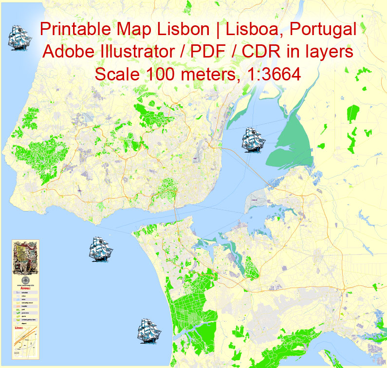
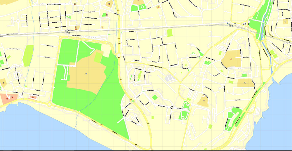
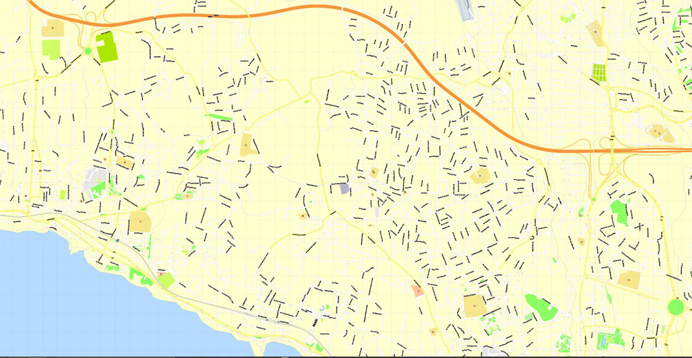
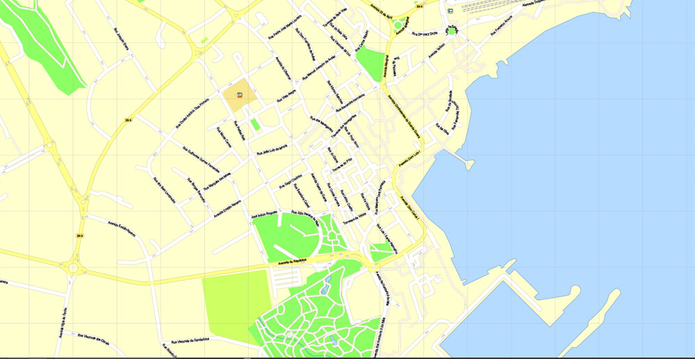
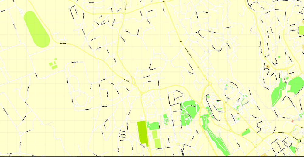
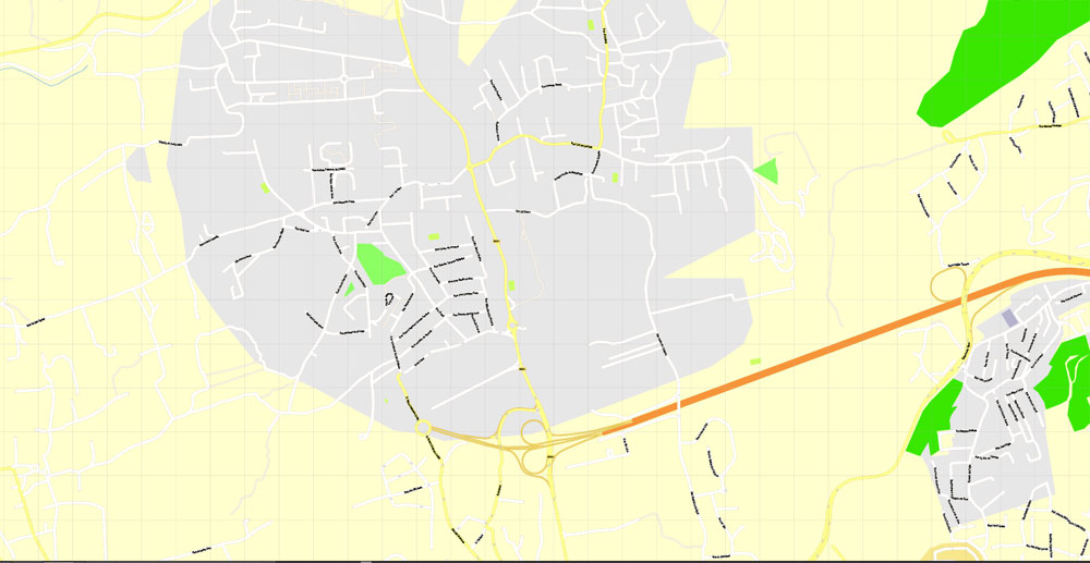
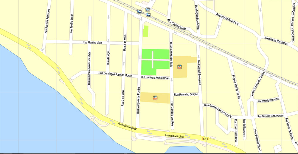
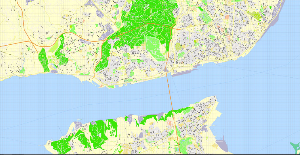
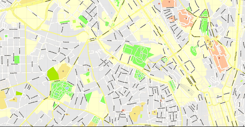
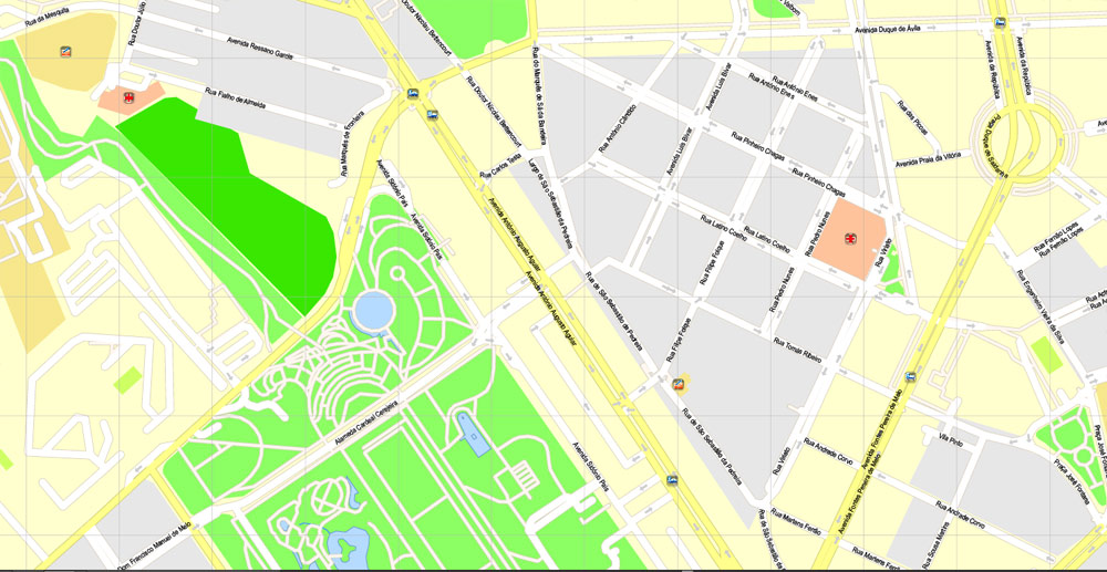
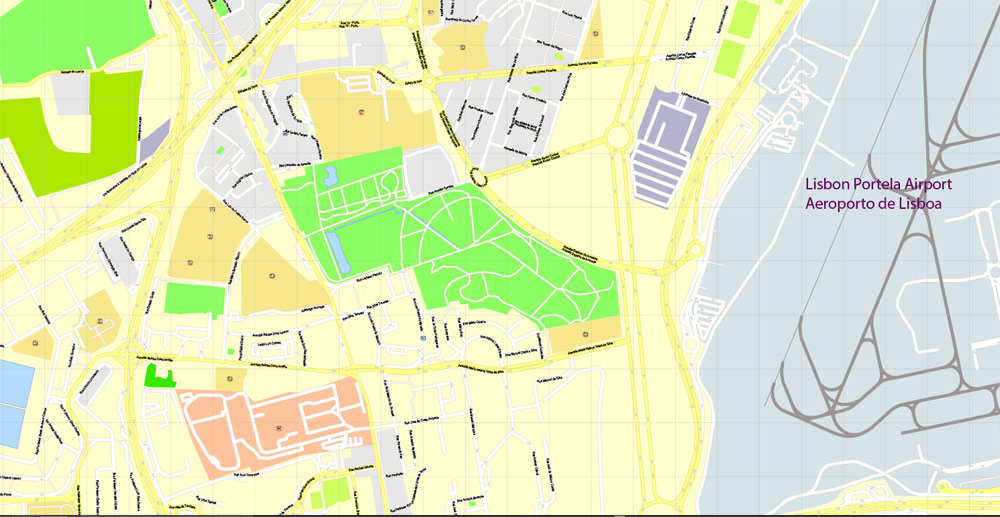
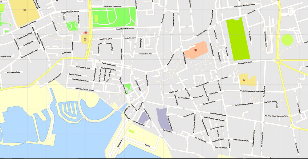
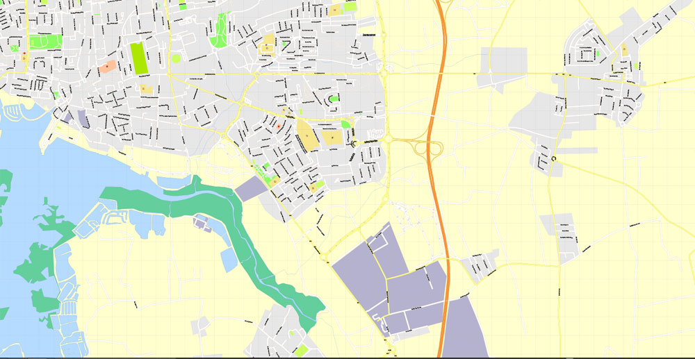
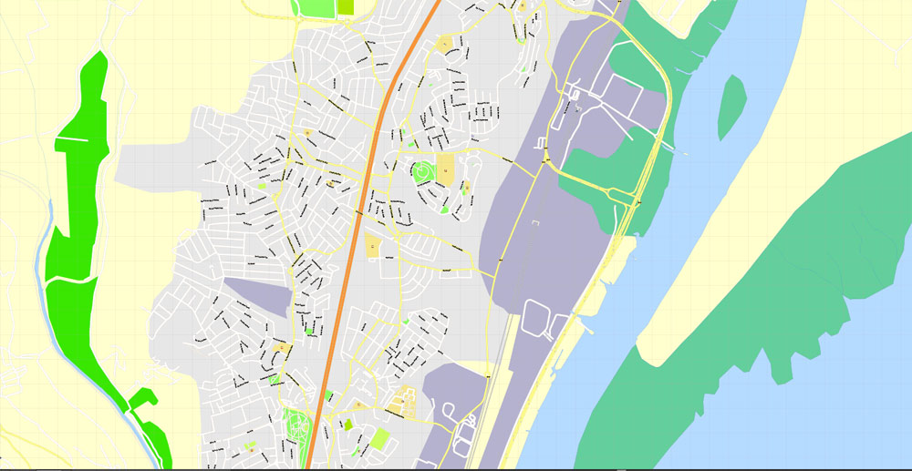
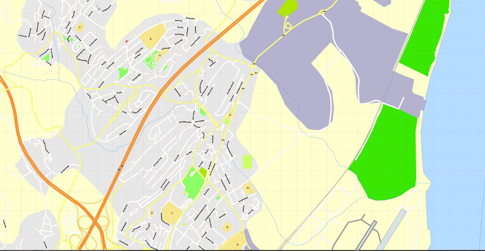
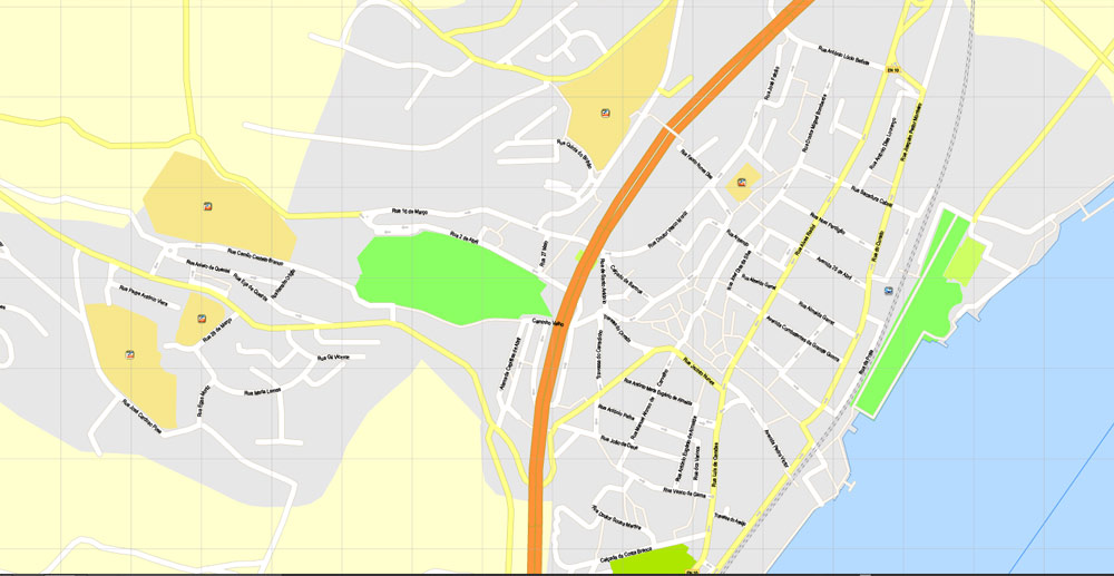
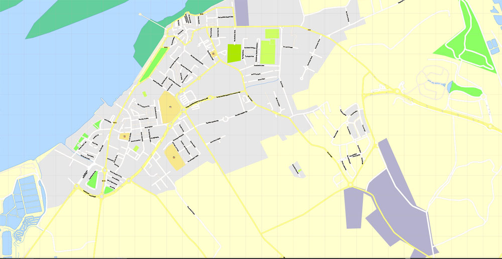
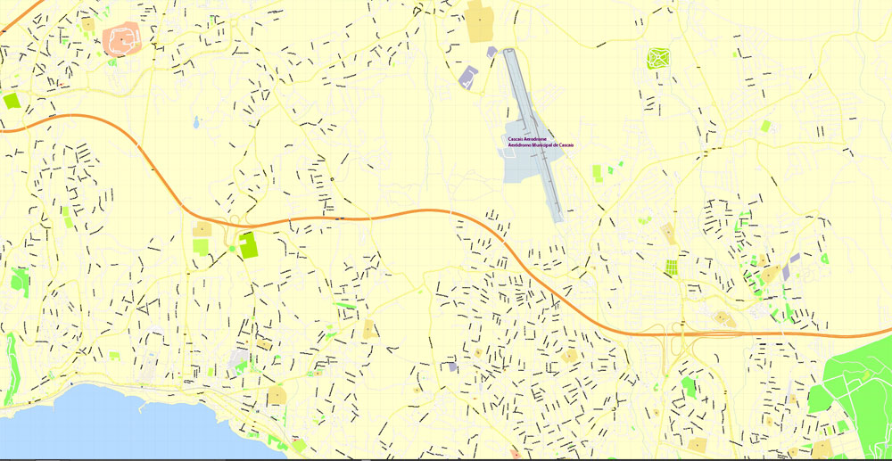
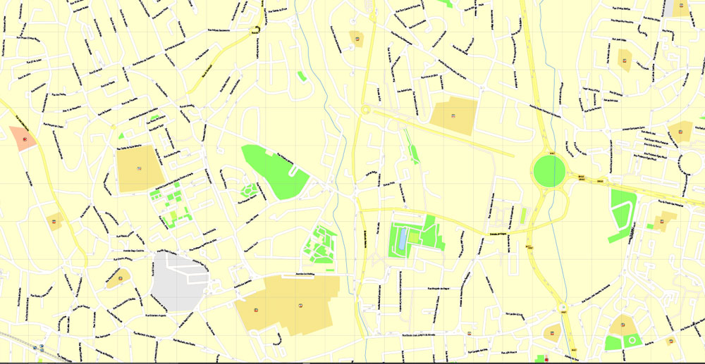
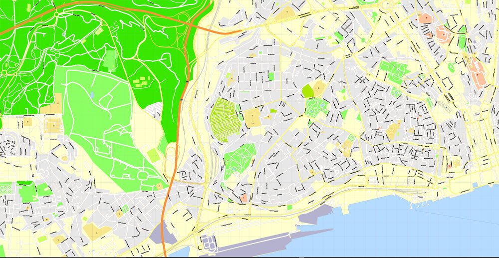
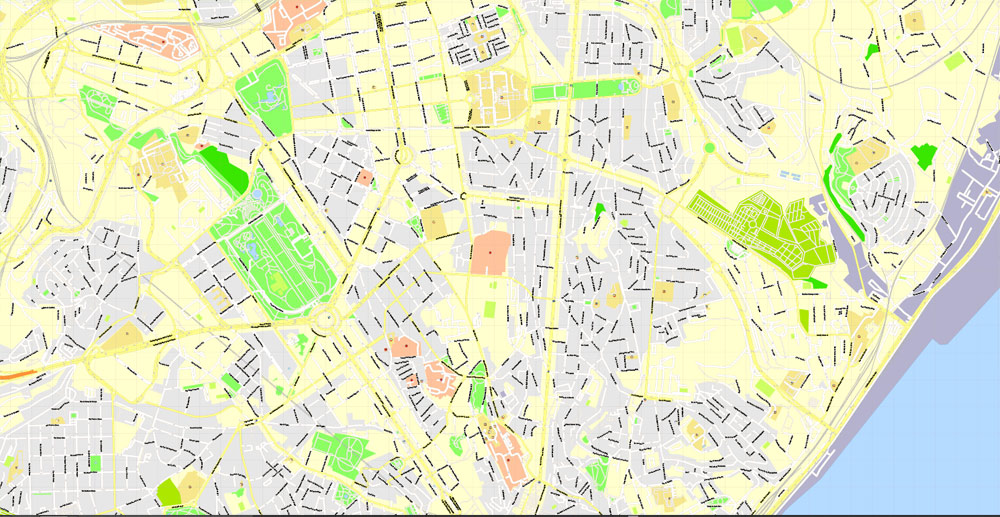
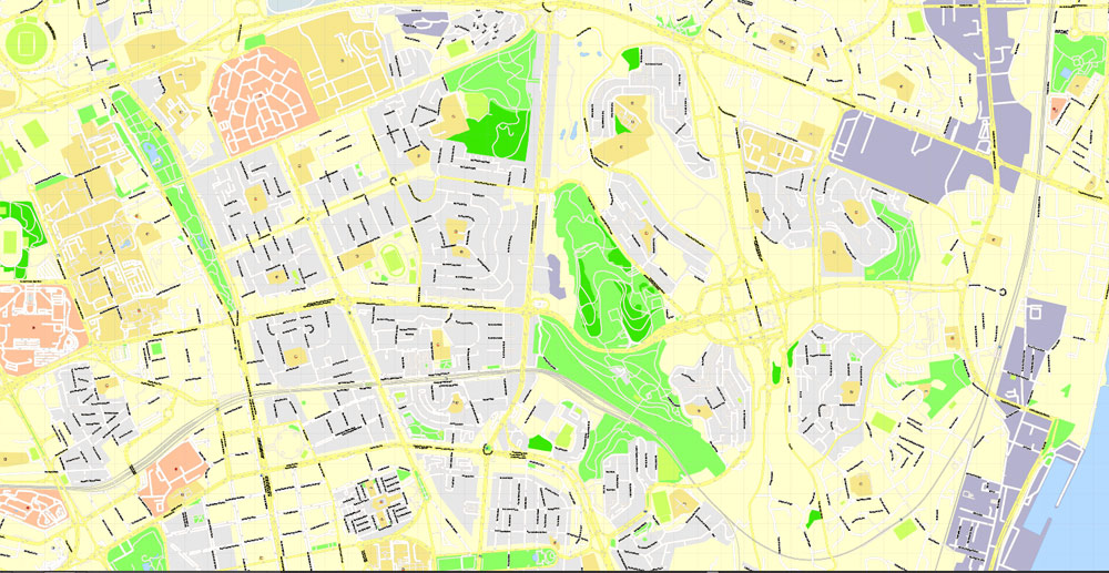
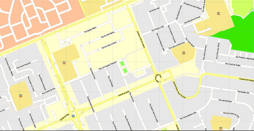
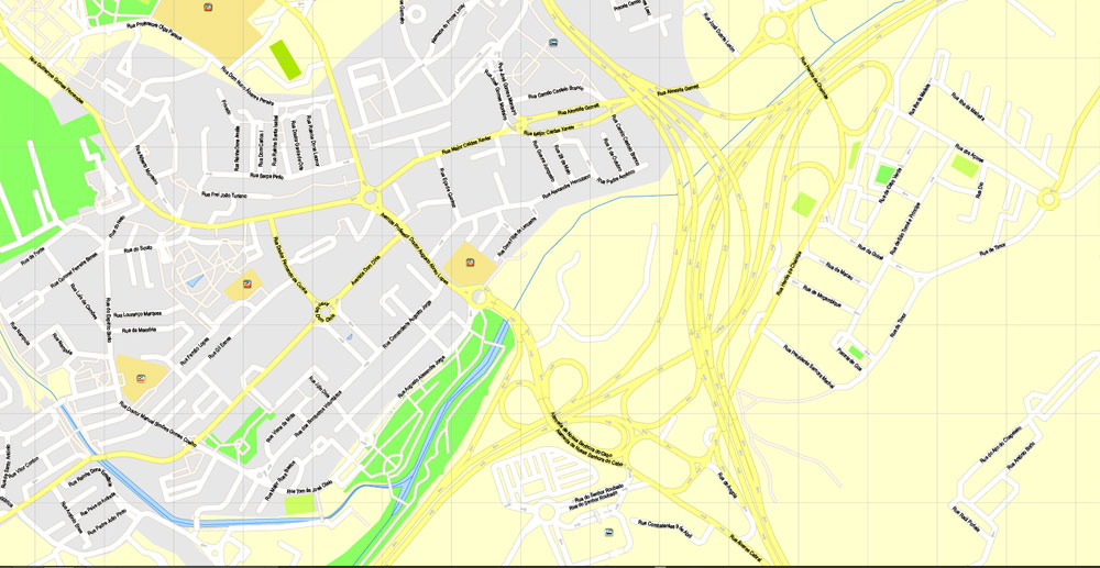
Printable Vector Map Lisbon (Lisboa) Metropolitan Area, Portugal, exact detailed City Plan, 100 meters scale map 1:3664, editable Layered CorelDRAW, 46 Mb ZIP.
All streets named, main objects. Map for publishing, design, printing, publications, arts, projects, presentations, for architects, designers and builders, business, logistics. The most exact and detailed map of the city.
Layers: legend, grids, labels_roads, names_places, names_streets, objects, arrows_streets, streets_roads, color_fills.
Text format street names
DWG, DXF, EPS, ESRI Shapes, and other formats – by request, same price, please contact.
Lisbon, Portugal.
This vector map of Lisbon city is used as a basis for design, editing, and further printing.
This is the most detailed, exact map of Lisbon city for high-quality printing and polygraphy. You can always clarify the map development date by contacting us.
For your convenience, all objects on Lisbon vector city map are divided into layers. And the editing is very easy – colors, lines, etc.
You can easily add any objects needed (e.g. shops, salons, sale points, gas station or attraction) on any layer of Lisbon vector map.
Lisbon is the capital and the largest city of Portugal, with an estimated population of 505,526 within its administrative limits in an area of 100.05 km2. Its urban area extends beyond the city’s administrative limits with a population of around 2.8 million people, being the 11th-most populous urban area in the European Union. About 3 million people live in the Lisbon Metropolitan Area (which represents approximately 27% of the country’s population). It is mainland Europe’s westernmost capital city and the only one along the Atlantic coast. Lisbon lies in the western Iberian Peninsula on the Atlantic Ocean and the River Tagus. The westernmost areas of its metro area form the westernmost point of Continental Europe, which is known as Cabo da Roca, located in the Sintra Mountains
One of the advantages of Lisbon city vector maps of our production is the relevance of cartographic data, we constantly update all our products.
This vector map of Lisbon city is used by:
designers, layout designers, printers, advertisers and architects. Our product – vector maps – is designed for further editing and printing in large formats – from @Wall format (a few meters) to A-0 and A-1, A-2, A-3.
The Lisbon city map in vector format is used for design, urban planning, presentations and media visualizations.
The advertising and presentation map of Lisbon city (usually the final designer marks the routes, and puts the client’s objects (shops, saloons, gas stations etc.)
The undoubted advantage is that people will NEVER throw out this advertising product – the map. In fact, as an advertising medium, a city map is the most “long-playing” of the well-known polygraphic advertising media, with the longest lifespan, and the maximum number of interactions with the customer.
For travelers, maps are sold at the airports and gas stations around the world. Often the source is our vector maps.
Take a look, who purchases our vector maps of Lisbon city in “Our Clients and Friends” page – these are large and small companies, from super-brands like Volvo and Starbucks, to small design studios and printing houses.
It’s very easy to work with vector maps of Lisbon city, even for a not very experienced designer who can turn on and off the map layers, add new objects, change the colors of fill and lines according to customer requirements.
The undoubted advantage of Lisbon city vector maps in printing is an excellent and detailed visualization, when customer can expand a large paper map and instantly define his location, find a landmark, an object or address on map, unlike using the popular electronic formats of Google and Yandex maps for example.
Printable vector maps of Lisbon city are much more convenient and efficient than any electronic maps on your smartphone, because ALL DETAILS are displayed in the entire space of Lisbon city map.
Lisbon is recognised as an alpha-level global city by the Globalization and World Cities (GaWC) Study Group because of its importance in finance, commerce, media, entertainment, arts, international trade, education and tourism. Lisbon is the only Portuguese city besides Porto to be recognised as a global city. It is one of the major economic centres on the continent, with a growing financial sector and one of the largest container ports on Europe’s Atlantic coast.
Useful tips on working with vector maps of cities and countries in Adobe Illustrator.
«V» – launches the Selection tool (cursor, black arrow), which makes active any vector line.
«А» – launches the Direct Selection tool (white cursor), allows you to select curve elements and drag them to the desired place.
«R» – activates the Rotate tool, which helps you rotating selected objects around the center point by 360 degrees.
«E» – gives you the opportunity to use the Eraser tool and erase unnecessary parts.
«X» – switches between Fill and Stroke in the Tools section. Try to get used to this hot key and
you will quickly understand that you can’t live and work without it.
Guides are not limited to vertical and horizontal in Adobe Illustrator. You can also create a diagonal guide for example. Moreover, you can turn any contours into guides. Select the outline and go to View > Guides > Make Guides (Create Guides), or simply press Cmd/Ctrl + 5. You can also turn the guides back into an editable object. Go to menu, View > Guides > Unlock Guides (Release Guides), select the guide you want to edit and select View > Guides > Release Guides (Reset Guides), or just press Cmd/Ctrl + Option / Alt + 5).
You will probably want to change the color scheme used on our Lisbon vector city map.
To quickly and effectively play with colors.
Of course, you can do it manually, all objects in our Lisbon city vector map are divided according to types and layers, and you can easily change the color gamma of vector objects in groups and layers.
But there is more effective way of working with the whole VECTOR MAP of Lisbon city and all layers:
The overview dialog «Edit colors»/«Repaint Graphic Object» (this dialog box name can change depending on the context):
If you have selected a part or a layer of Lisbon city vector map and open the dialog box by clicking the icon in the Control panel, on the Samples palette or the Color Catalog, or if you choose Edit > Edit Colors> Repaint Graphic Object, then the «Repaint Graphic Object» dialog box appears, and you get access to «Assign» and «Edit» tabs.
If a picture or a map fragment is not selected, and you open the dialog box by clicking the icon in the Control panel, on the Samples palette or in the Color Catalog, the «Edit Colors» dialog box appears and you can only access the «Edit» tab.
Regardless of the name at the top of the dialog box, the right-hand side always displays the color group of the current document, as well as two default color groups: Print Color and Grayscale. These color groups can be selected and used any time.
Create and edit color groups of Lisbon city vector map, and also assign colors using the «Edit Colors»/ а «Repaint Graphic Object» dialog box.
A. Creating and editing of a color group on the «Edit» tab
B. Assigning colors on the «Assign» tab
C. Select a group of colors from the «Color groups» list
The option «Repaint a graphic object» in the lower part of the dialog box allows you to preview the colors on a selected layer of Vector map, or a group of elements, and specify whether its colors will be redefined when the dialog box is closed.
Additionally, Humberto Delgado Airport served 26.7 million passengers in 2017, being the busiest airport in Portugal, the 3rd busiest in the Iberian Peninsula and the 20th busiest in Europe, and the motorway network and the high-speed rail system of Alfa Pendular links the main cities of Portugal (such as Braga, Porto and Coimbra) to Lisbon. The city is the 9th-most-visited city in Southern Europe, after Rome, Istanbul, Barcelona, Milan, Venice, Madrid, Florence and Athens, with 3,320,300 tourists in 2017. The Lisbon region contributes with a higher GDP PPP per capita than any other region in Portugal.
The main areas of the dialog box are:
«Edit»
The «Edit» tab is designed to create a new or edit the existing color groups.
The harmony rules Menu and the Color Wheel are used to conduct experiments with color harmonies. The color wheel shows how colors are related in color harmony, and the color bars allow you to view and manipulate an individual color values. In addition, you can adjust the brightness, add and remove colors, save color groups and view colors on the selected Vector Map of Lisbon city or a separated layers.
«Assign»
The «Assign» tab is used to view and control on how the original colors are replaced with colors from the color group like your corporate colors in the Vector Map of Lisbon city.
The assign color ability is provided only if the entire map, layer or fragment is selected in the document. You can specify which of new colors replace the current colors, whether the spot colors should be preserved and how colors are replaced (for example, you can replace colors completely or changing the color tone while maintaining the brightness). The «Assign» tab allows you to redefine colors in the Vector Map of Lisbon city, or in separate layers and fragments using the current color group or reducing the number of colors in the current Vector Map.
Its GDP amounts to 96.3 billion USD and thus $32,434 per capita. The city occupies the 40th place of highest gross earnings in the world. Most of the headquarters of multinational corporations in Portugal are located in the Lisbon area. It is also the political centre of the country, as its seat of Government and residence of the Head of State.
Lisbon is one of the oldest cities in the world, and one of the oldest in Western Europe, predating other modern European capitals such as London, Paris, and Rome by centuries. Julius Caesar made it a municipium called Felicitas Julia, adding to the name Olissipo. Ruled by a series of Germanic tribes from the 5th century, it was captured by the Moors in the 8th century.
Color groups
Is a list of all saved color groups for current document (the same groups appear in the «Samples» palette). You can edit and delete the existing color groups, as well as creating a new ones using the list of “Color Groups” in the dialog box. All changes appear in the «Samples» palette.
The highlighted color group shows, which color group is currently edited.
Any color group can be selected and edited, or used to redefine the colors in the selected vector map of Lisbon city, its fragments or elements.
Saving a color group adds this group to the specified list.
Opening the «Edit Colors»/«Repaint Graphic Object» dialog box.
Open the «Edit Colors»/«Repaint Graphic Object» dialog box using one of the following methods:
«Edit»> «Edit Colors»> «Repaint Graphic object» or «Repaint With Style».
Use these commands if you need to edit the colors in the selected vector map of Lisbon city.
«Repaint Graphic object» button on the «Control» panel.
Use this button if you need to adjust colors of Lisbon city vector map using the а «Repaint graphic object» dialog box.
The specified button is available if the selected vector map or its fragment contains two or more colors.
Note. This color editing method is convenient for global color adjustment in a vector map, if global colors were not used when creating a City Map of Lisbon.
The «Edit colors» button or «Edit or apply colors» on the «Color Catalog» palette
Click this button if you need to edit colors on the «Color Catalog» palette or edit and then apply them to the selected Vector Map of Lisbon city or its fragment.
The «Edit color group» button or «Edit or apply color group» on the «Samples» palette.
Click this button if you need to edit the colors in the specific color group or edit and apply them to the selected Vector Map of Lisbon city or a group of its elements, for example, the whole layer “Streets and lines”. You can also double-click the color group in the Samples panel to open the dialog box.
If the map file is too large and your computer freezes or even can’t open it quickly:
1. Try to reduce the color resolution of the video card (display) to 256 colors while working with a large map.
2. Using Windows Task Manager, select all the application you don’t need, while working with map, just turn them off.
3. Launch Adobe Illustrator. (DO NOT OPEN the vector map file)
4. Start the Windows Task Manager using administrator rights > Find the “Illustrator” process > set the «real time» priority,
5. Open the file. When you see the LEGACY FONT popup window – click “OK” (do not update). You can restore the TEXT later.
6. Can also be useful: When file is opened – Edit > Settings > Basic Settings > disable smoothing. /// It looks scary, but works quickly)))
We recommend saving the file in Adobe Illustrator 10 version. It’s much more stable when working with VERY BIG size files.
In 1147, the Crusaders under Afonso Henriques reconquered the city and since then it has been a major political, economic and cultural centre of Portugal. Unlike most capital cities, Lisbon’s status as the capital of Portugal has never been granted or confirmed officially – by statute or in written form. Its position as the capital has formed through constitutional convention, making its position as de facto capital a part of the Constitution of Portugal.
Geography
Physical geography
Lisbon is located at 38°42′49.75″N 9°8′21.79″W, situated at the mouth of the Tagus River and is the westernmost capital of a mainland European country.
The westernmost part of Lisbon is occupied by the Parque Florestal de Monsanto (English: Monsanto Forest Park), a 10 km2 (4 sq mi) urban park, one of the largest in Europe, and occupying ten percent of the municipality.
The city occupies an area of 100.05 km2 (39 sq mi), and its city boundaries, unlike those of most major cities, coincide with those of the municipality. The rest of the urbanised area of the Lisbon Metropolitan Area, known generically as Greater Lisbon (Portuguese: Grande Lisboa), extends to the city of Setúbal and includes several administratively defined cities and municipalities, such as Amadora, Queluz, Agualva-Cacém, Odivelas, Loures, Sacavém, Almada, Barreiro, Seixal and Oeiras

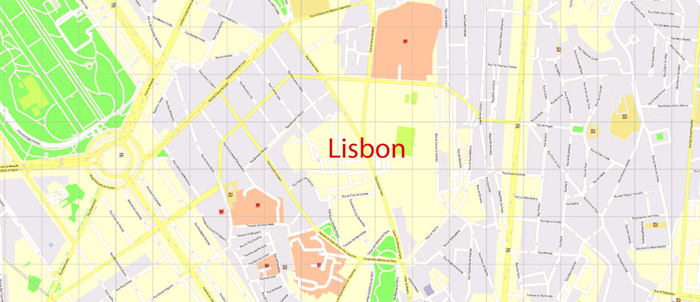

Lisbon | Lisboa
Capital of Portugal
Lisbon is Portugal’s hilly, coastal capital city. From imposing São Jorge Castle, the view encompasses the old city’s pastel-colored buildings, Tagus Estuary and Ponte 25 de Abril suspension bridge. Nearby, the National Azulejo Museum displays 5 centuries of decorative ceramic tiles. Just outside Lisbon is a string of Atlantic beaches, from Cascais to Estoril.
Location Lisbon
– elevation 2 m (7 ft)
– coordinates 38°42′50″N 9°8′22″W
Coordinates: 38°42′50″N 9°8′22″W Highest point 227 m – location Serra de Monsanto, Benfica, Lisbon
– elevation 199 m (653 ft) – coordinates 38°43′43″N 9°11′5″W
Lowest point Sea level – location Atlantic Ocean – elevation 0 m (0 ft)
Area 100.05 km2 (39 sq mi)
– urban 958 km2 (370 sq mi)
– metro 3,015 km2 (1,164 sq mi)
Population 545,245
– urban 2,700,000
– metro 2,821,876
Density 6,446.2/km2 (16,696/sq mi)
Free vector maps:

Free download printable map Europe vector Adobe Illustrator >>>
Free download printable PDF map Europe vector Adobe PDF >>>
 Map Metropolitan Area, Portugal, Printable Vector exact detailed City Plan, scale 1:3664, editable Layered Adobe Illustrator Street Map")

 Author: Kirill Shrayber, Ph.D. FRGS
 Map Metropolitan Area, Portugal, Printable Vector exact detailed City Plan, scale 1:3664, editable Layered Adobe Illustrator Street Map")
 Portugal Map Vector Exact High Detailed City Plan editable Adobe Illustrator Street Map in layers")
