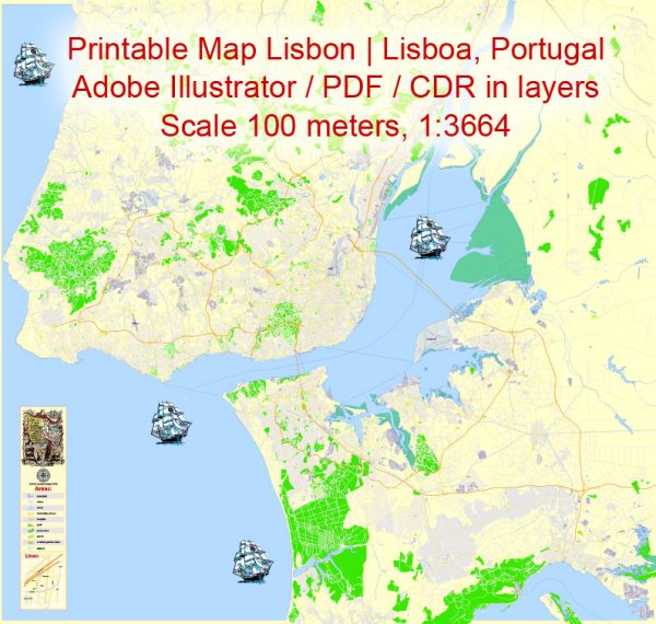
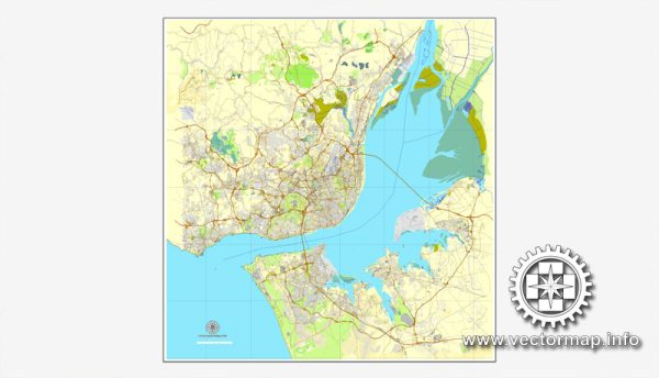
Some information about the transportation and port infrastructure in Lisbon, Portugal.
Vectormap.Net provide you with the most accurate and up-to-date vector maps in Adobe Illustrator, PDF and other formats, designed for editing and printing. Please read the vector map descriptions carefully.
Transportation Infrastructure:
- Airports:
- Lisbon Portela Airport (Humberto Delgado Airport): This is the main international airport serving Lisbon and is located approximately 7 kilometers from the city center. It is well-connected with various international destinations and serves as a major gateway to Portugal.
- Public Transportation:
- Metro: Lisbon has a metro system with four lines that cover the city and extend to nearby areas. It is a convenient means of transportation for both residents and visitors.
- Trams: The iconic tram 28 runs through many of Lisbon’s historic neighborhoods, offering a scenic route through the city.
- Buses: An extensive bus network connects different parts of Lisbon and the surrounding areas.
- Railway:
- Lisbon is well-connected by train to other cities in Portugal and Europe. The main railway station is Santa Apolónia, but there are other stations like Gare do Oriente that also handle domestic and international trains.
- Road Network:
- A network of roads and highways connects Lisbon to the rest of Portugal and neighboring countries. The A1 highway connects Lisbon to Porto, and the A2 connects it to the Algarve region.
Port Infrastructure:
- Port of Lisbon:
- The Port of Lisbon is a major seaport situated along the Tagus River. It is a critical hub for cargo and passenger traffic.
- Facilities include multiple terminals for containers, general cargo, and cruise ships.
- The port is strategically located, making it an essential gateway for goods entering and leaving Portugal.
- Cruise Terminals:
- Lisbon has dedicated terminals for cruise ships, welcoming a significant number of cruise tourists each year. Santa Apolónia and Alcântara are among the primary cruise terminals.
- River Transport:
- The Tagus River is navigable, and river transport is utilized for various purposes, including passenger ferries and cargo transportation.
- Logistics and Connectivity:
- The port’s logistics and connectivity play a crucial role in supporting trade and commerce, both domestically and internationally.
- Expansion and Modernization:
- Over the years, there have been efforts to modernize and expand the port infrastructure to accommodate larger vessels and enhance overall efficiency.


 Author: Kirill Shrayber, Ph.D.