Extended Description of the Vector Map
Printable DXF Vector Map of Lynwood California US detailed City Plan scale 1:3897 full editable AutoCAD DXF + Shapefiles + PDF Street Map in layers, scalable, text format all names, 206 MB ZIP
All street names, Main Objects, Buildings. Map for design, printing, arts, projects, presentations, for architects, designers, and builders, business, logistics.
Included in 1 archive: 2 versions of DXF (different rendering), *.PRJ file for DXF, complete Shapefiles, Editable layered vector PDF
Need any other format? Please, contact us!
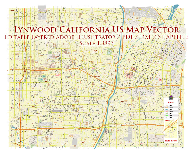
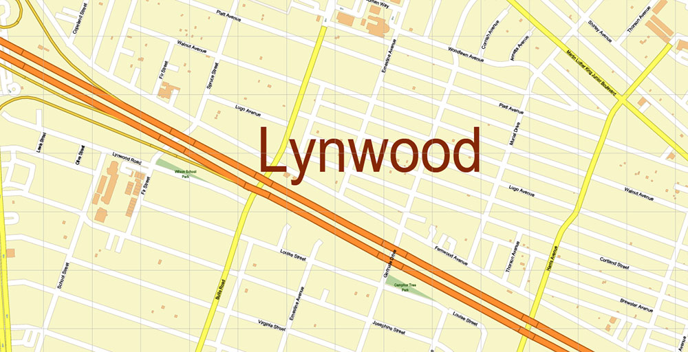
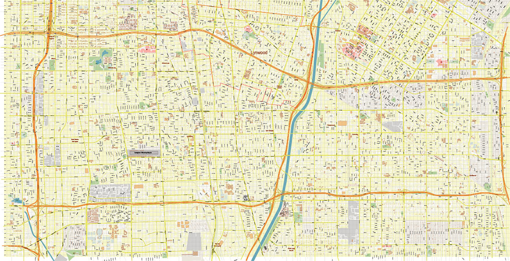
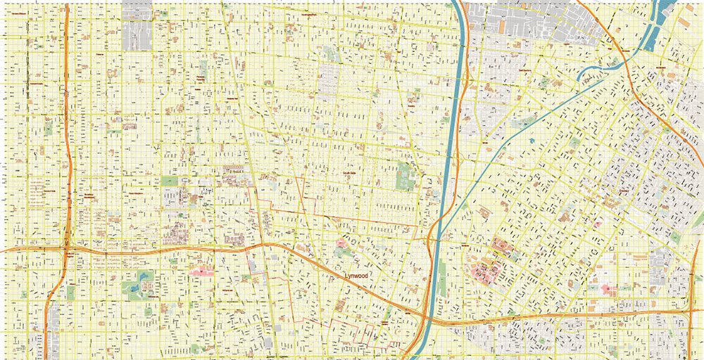
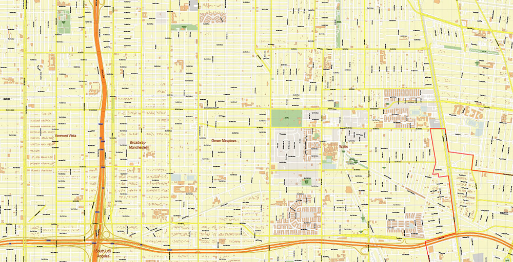
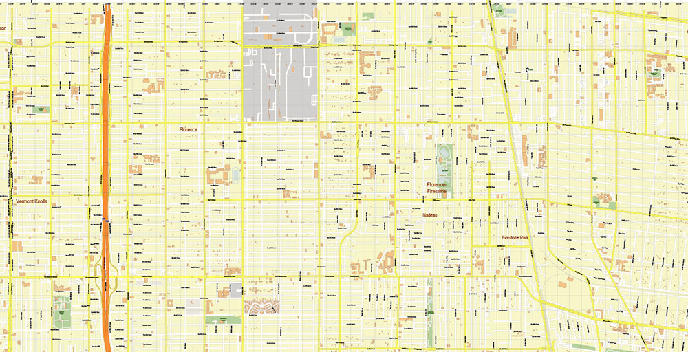
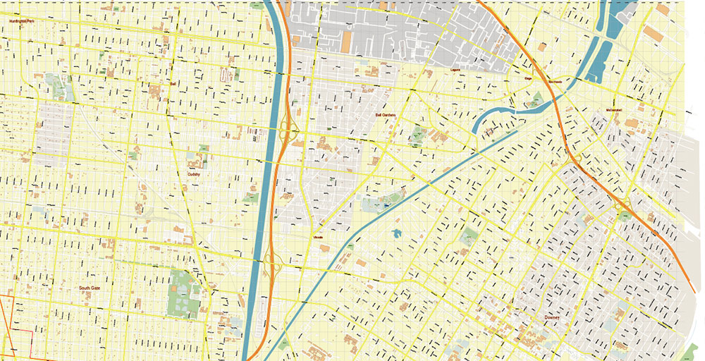
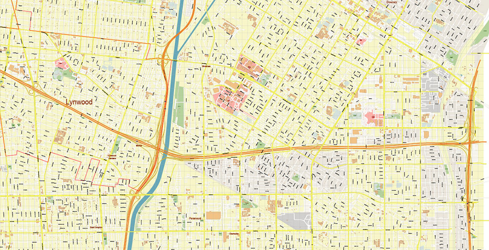
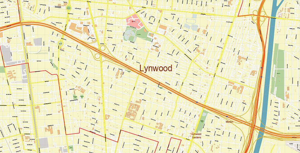
Lynwood California US DXF Map Vector Exact City Plan High Detailed Street Map AutoCAD + Shapefiles + Adobe PDF in layers
Layers list:
- Legend
- Grids
- Labels of roads
- Names of places (city, hamlet, etc.)
- Names of objects (hospitals, parks, water)
- Names of main streets
- Names of civil streets
- Arrows of street drive direction
- Main Streets, roads
- Civil streets
- Lynwood Boundaries
- Railroads
- Buildings
- Airports and heliports
- Water objects (rivers, lakes, ponds)
- Waterways
- Color fills (parks, hospital areas, land use, etc.)
- Background
List of the files in archive:
[lynwood_shapes_1]
- lynwood_ca_simple_Cities.dbf
- lynwood_ca_simple_Countries.dbf
- lynwood_ca_simple_Points.dbf
- lynwood_ca_simple_Points.prj
- lynwood_ca_simple_Points.shp
- lynwood_ca_simple_Points.shx
- lynwood_ca_simple_Polygons.dbf
- lynwood_ca_simple_Polygons.prj
- lynwood_ca_simple_Polygons.shp
- lynwood_ca_simple_Polygons.shx
- lynwood_ca_simple_Polylines.dbf
- lynwood_ca_simple_Polylines.prj
- lynwood_ca_simple_Polylines.shp
- lynwood_ca_simple_Polylines.shx
- lynwood_ca_simple_Regions.dbf
- lynwood_ca_simple_TurnRestrictions.dbf
[main folder]
- linwood_ca.dxf
- linwood_ca.prj
- lynwood_ca_simple.MP
- lynwood_california_us_map_vector_gvl17b_ai_10_dxf.dxf
- lynwood_california_us_map_vector_gvl17b_ai_10_pdf.pdf
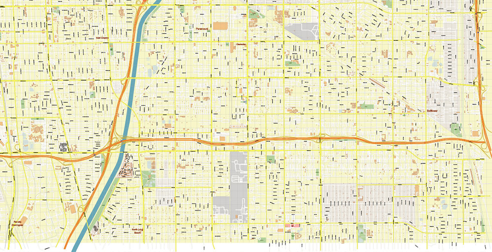
Lynwood California US DXF Map Vector Exact City Plan High Detailed Street Map AutoCAD + Shapefiles + Adobe PDF in layers
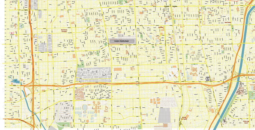
Lynwood California US DXF Map Vector Exact City Plan High Detailed Street Map AutoCAD + Shapefiles + Adobe PDF in layers
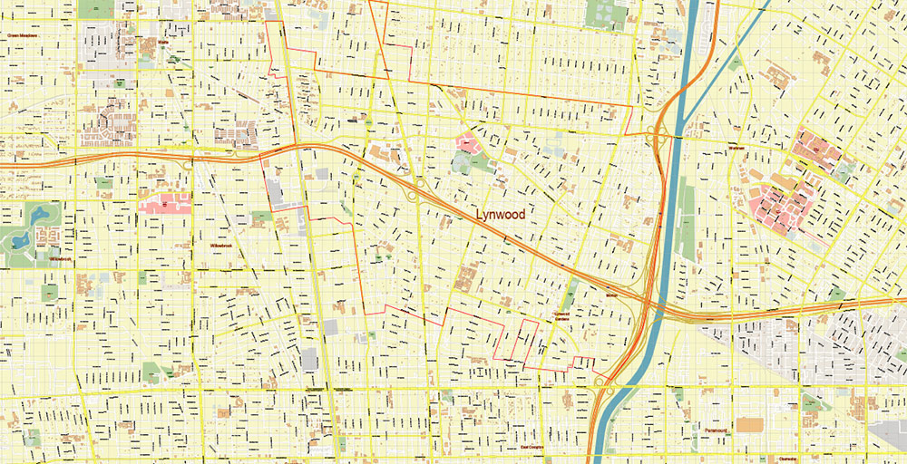
Lynwood California US DXF Map Vector Exact City Plan High Detailed Street Map AutoCAD + Shapefiles + Adobe PDF in layers
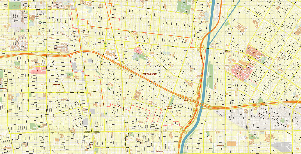
Lynwood California US DXF Map Vector Exact City Plan High Detailed Street Map AutoCAD + Shapefiles + Adobe PDF in layers
Lynwood California US DXF Map Vector Exact City Plan High Detailed Street Map AutoCAD + Shapefiles + Adobe PDF in layers
Lynwood California US DXF Map Vector Exact City Plan High Detailed Street Map AutoCAD + Shapefiles + Adobe PDF in layers
Lynwood California US DXF Map Vector Exact City Plan High Detailed Street Map AutoCAD + Shapefiles + Adobe PDF in layers
Lynwood California US DXF Map Vector Exact City Plan High Detailed Street Map AutoCAD + Shapefiles + Adobe PDF in layers
Lynwood California US DXF Map Vector Exact City Plan High Detailed Street Map AutoCAD + Shapefiles + Adobe PDF in layers
Lynwood California US DXF Map Vector Exact City Plan High Detailed Street Map AutoCAD + Shapefiles + Adobe PDF in layers
Lynwood California US DXF Map Vector Exact City Plan High Detailed Street Map AutoCAD + Shapefiles + Adobe PDF in layers
Lynwood California US DXF Map Vector Exact City Plan High Detailed Street Map AutoCAD + Shapefiles + Adobe PDF in layers

 Author: Kirill Shrayber, Ph.D. FRGS

