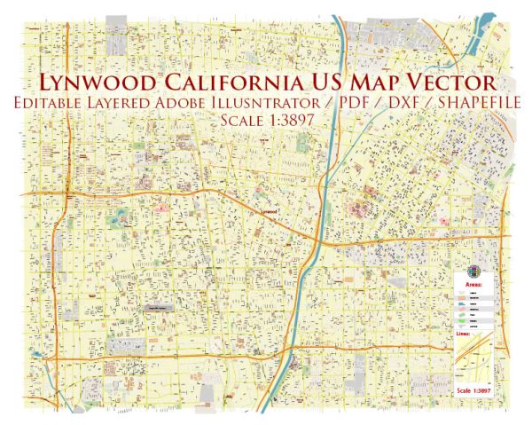
Lynwood, California, does not have formally designated districts in the way that larger cities like Los Angeles might. However, the city consists of various neighborhoods and residential areas.
Vectormap.Net provide you with the most accurate and up-to-date vector maps in Adobe Illustrator, PDF and other formats, designed for editing and printing. Please read the vector map descriptions carefully.
Here’s a general overview of some of the neighborhoods and areas within Lynwood:
- Lynwood Downtown:
- The downtown area may have a mix of commercial and residential spaces.
- It could be a central hub for local businesses, shops, and services.
- Plaza de Mexico:
- This neighborhood might have a cultural influence, reflecting the diversity of the community.
- It could be home to various businesses, restaurants, and possibly community centers.
- Rancho San Pedro:
- Residential area with homes, schools, and local amenities.
- It may offer a suburban feel with parks and green spaces.
- Lynwood Park:
- This area might have a focus on recreational spaces and parks.
- Residential neighborhoods surrounding parks for families and outdoor activities.
- Long Beach Boulevard Area:
- A commercial area with businesses, shops, and possibly some residential spaces.
- This area may serve as a main thoroughfare for local commerce.
- East Lynwood:
- A residential area with housing developments, schools, and community facilities.
- It might have a suburban character with family-oriented amenities.
- South Lynwood:
- Another residential area with local schools and parks.
- It may have a mix of single-family homes and apartment complexes.
- Cesar Chavez Park:
- If there’s a park named after Cesar Chavez, it might be a community focus point.
- The surrounding area may be residential with a community-oriented atmosphere.
- Wilmington Avenue Area:
- This area may include both residential and commercial spaces.
- It might be characterized by local businesses and services.
- Martin Luther King Jr. Boulevard Area:
- Another thoroughfare with a mix of businesses and possibly residential spaces.
- It could be a central route for transportation and local commerce.
It’s important to note that the description of neighborhoods is generalized, and the actual character of each area may vary. Additionally, cities can undergo changes and developments over time, so for the most up-to-date and accurate information, it’s recommended to contact local authorities or visit community resources.


 Author: Kirill Shrayber, Ph.D.