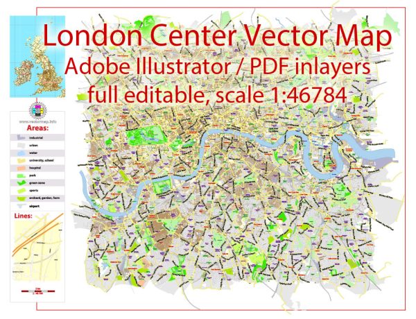
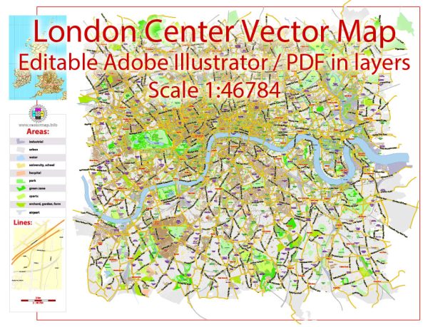
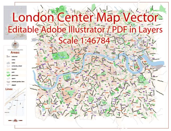
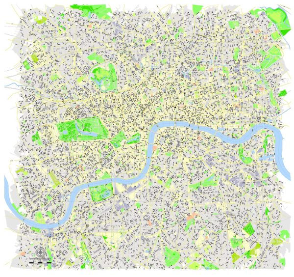
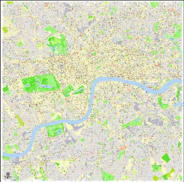
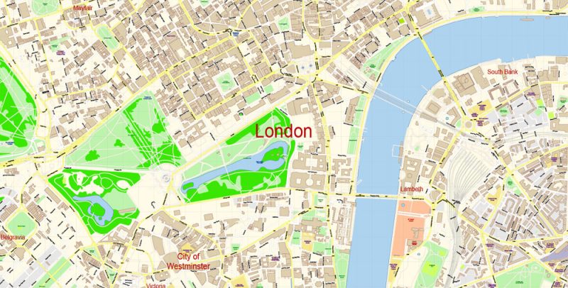
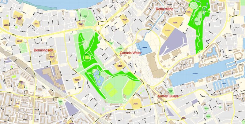
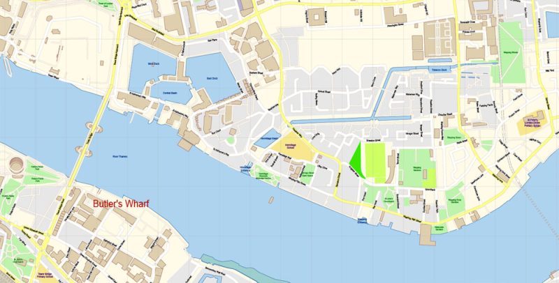
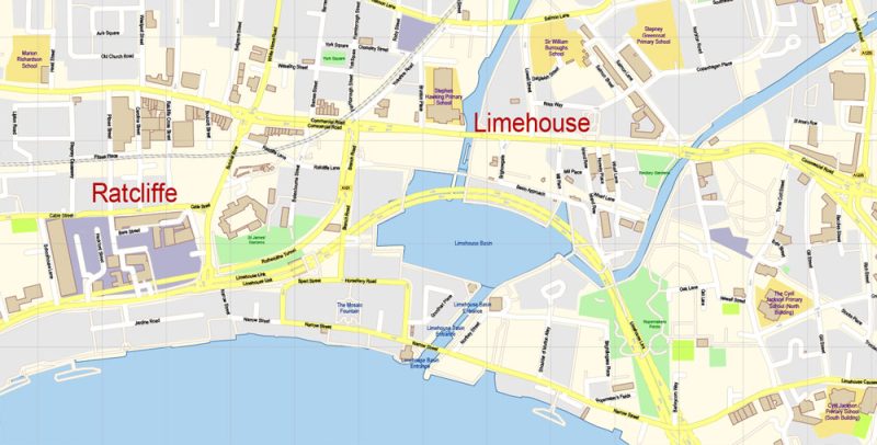
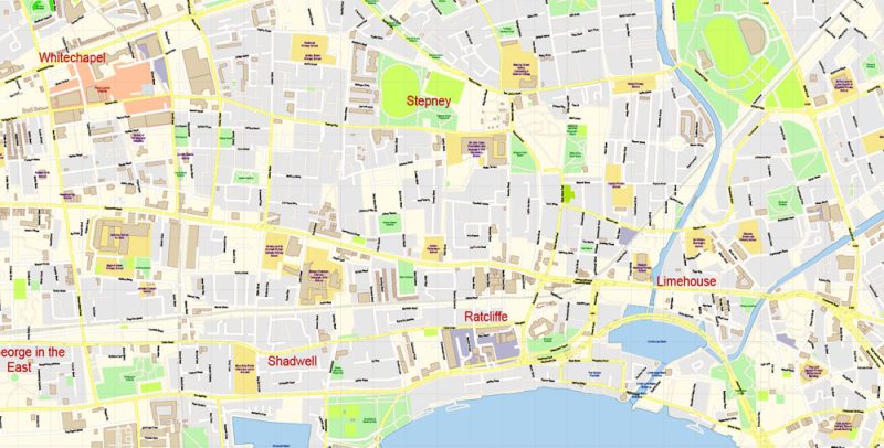
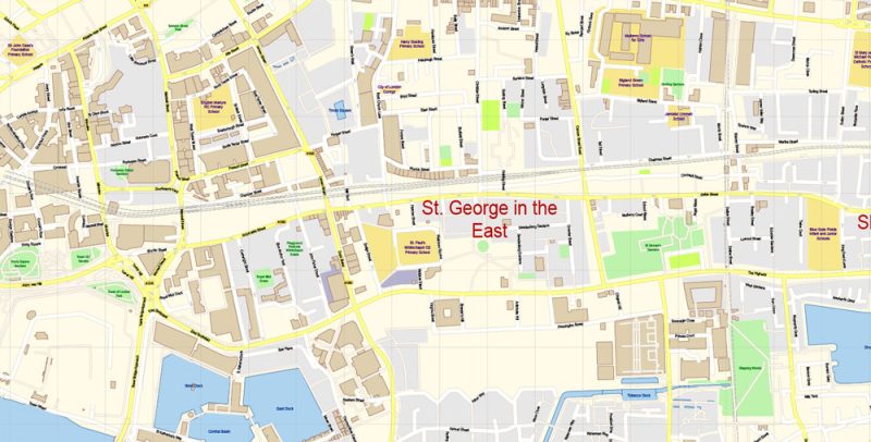
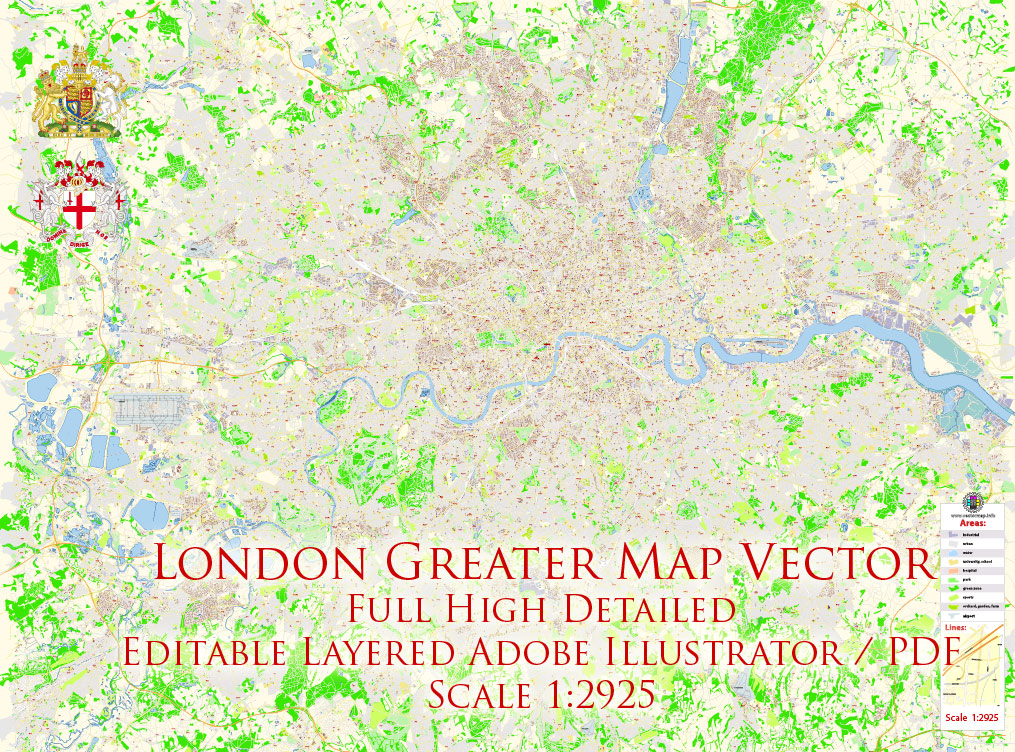
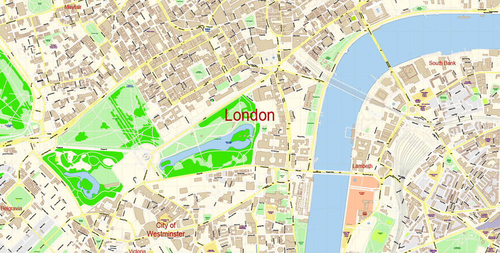
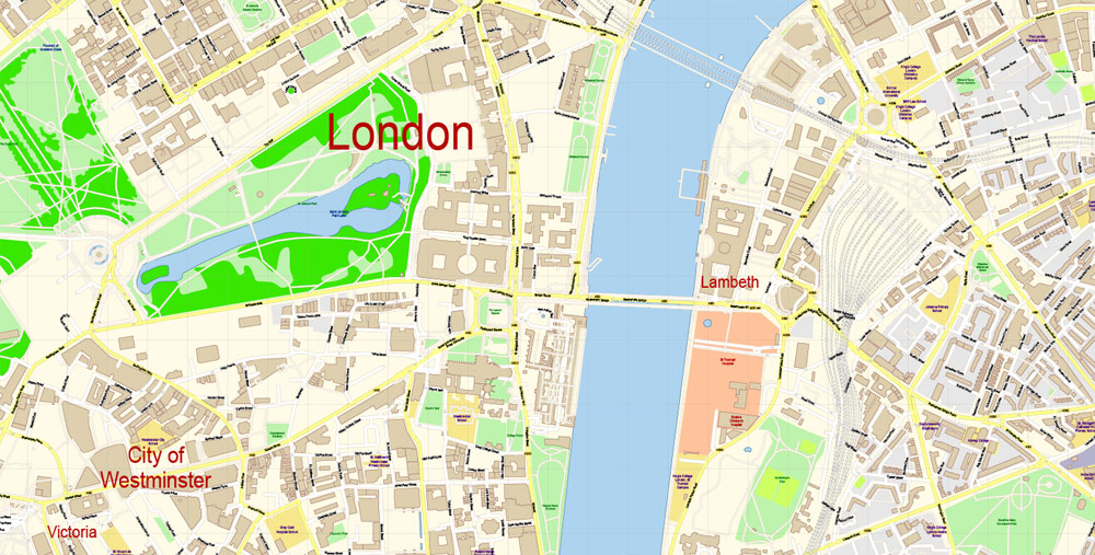
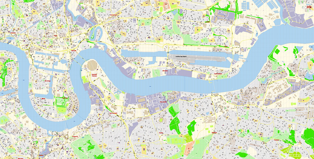
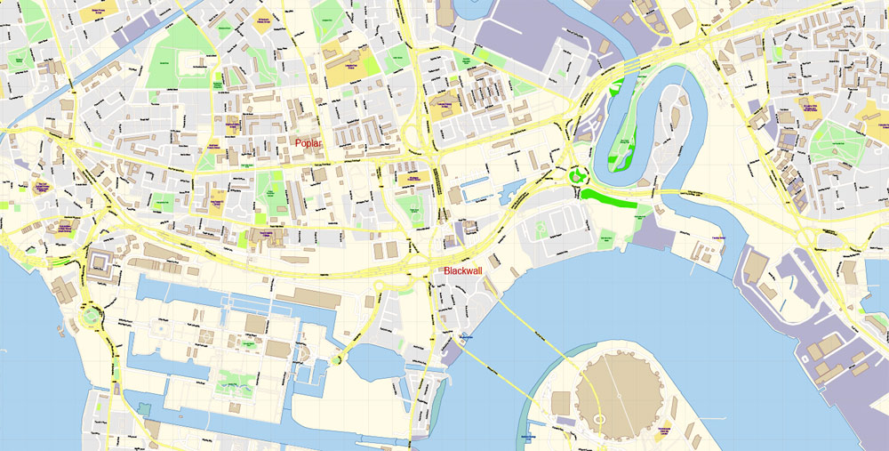
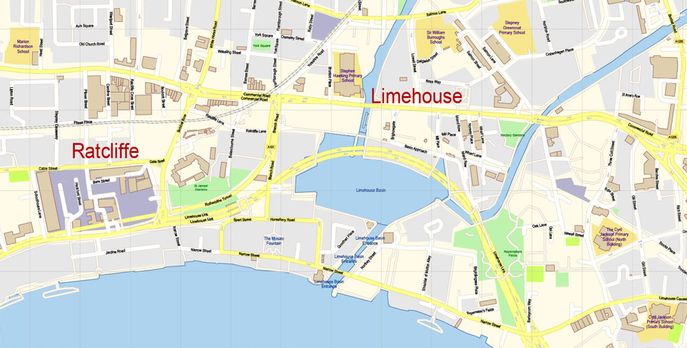
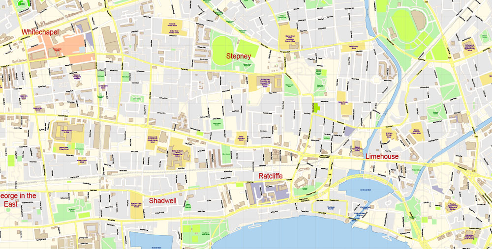
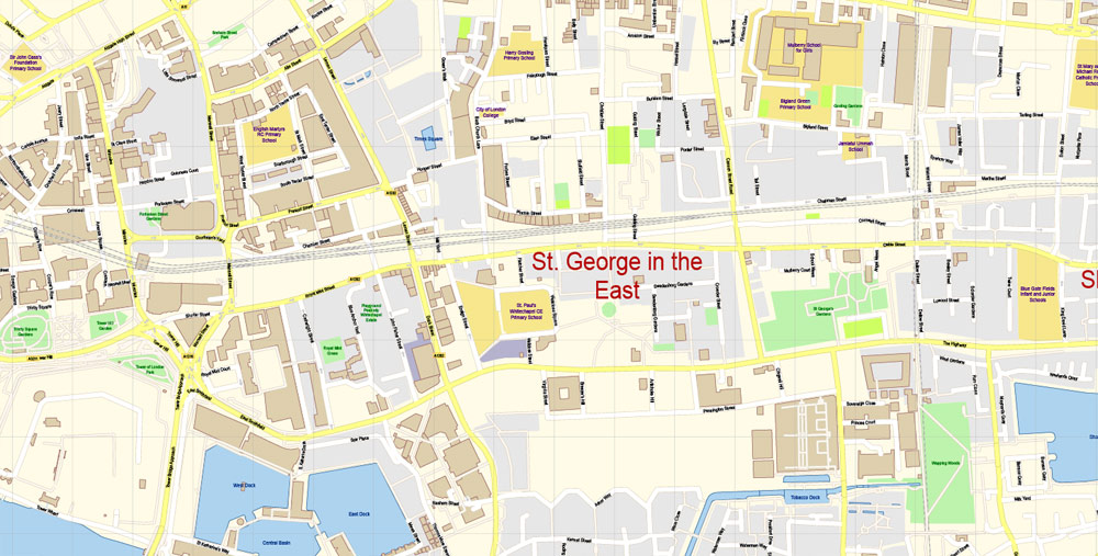
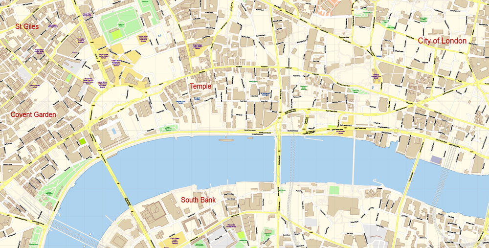
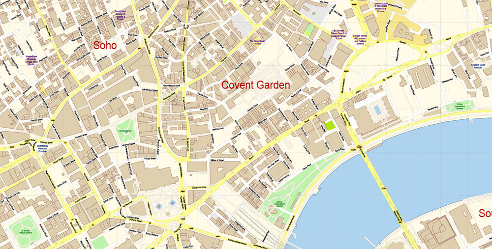
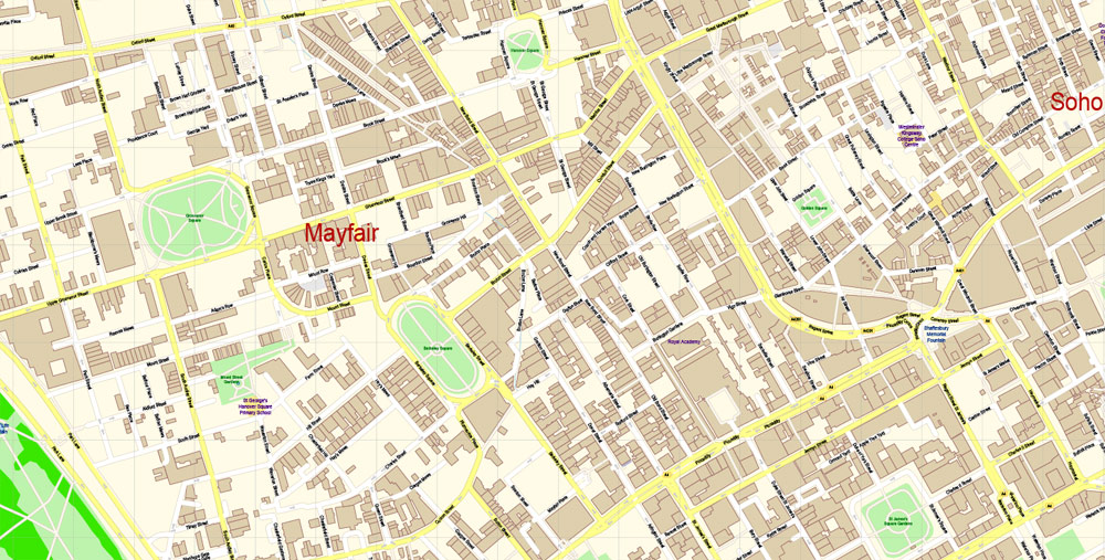
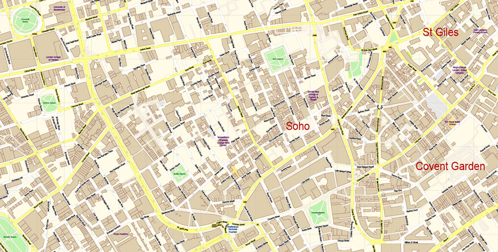
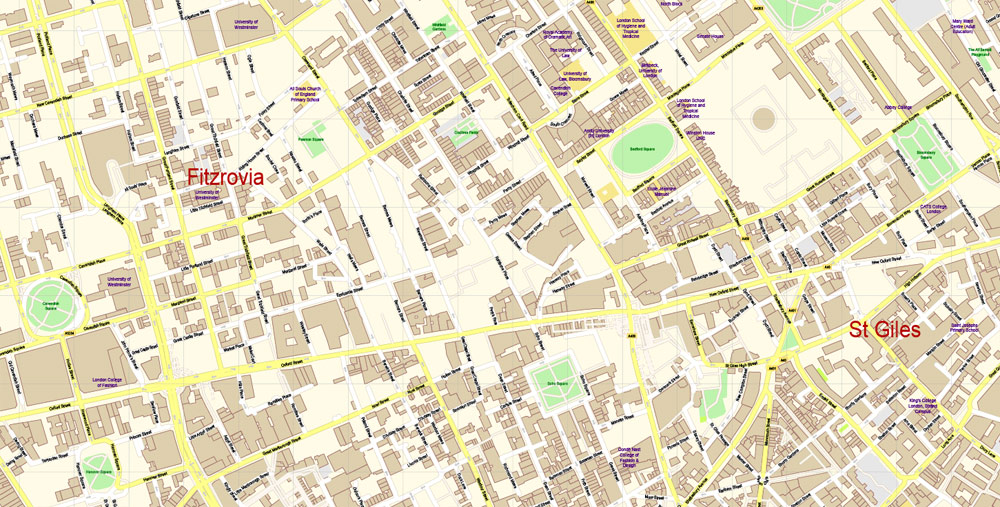
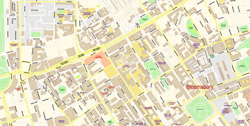
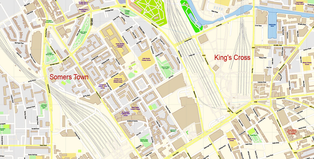
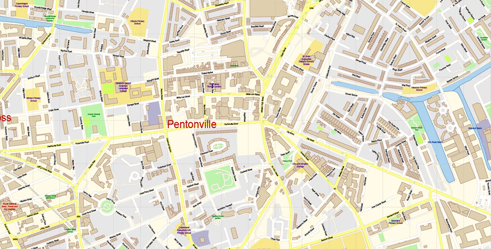
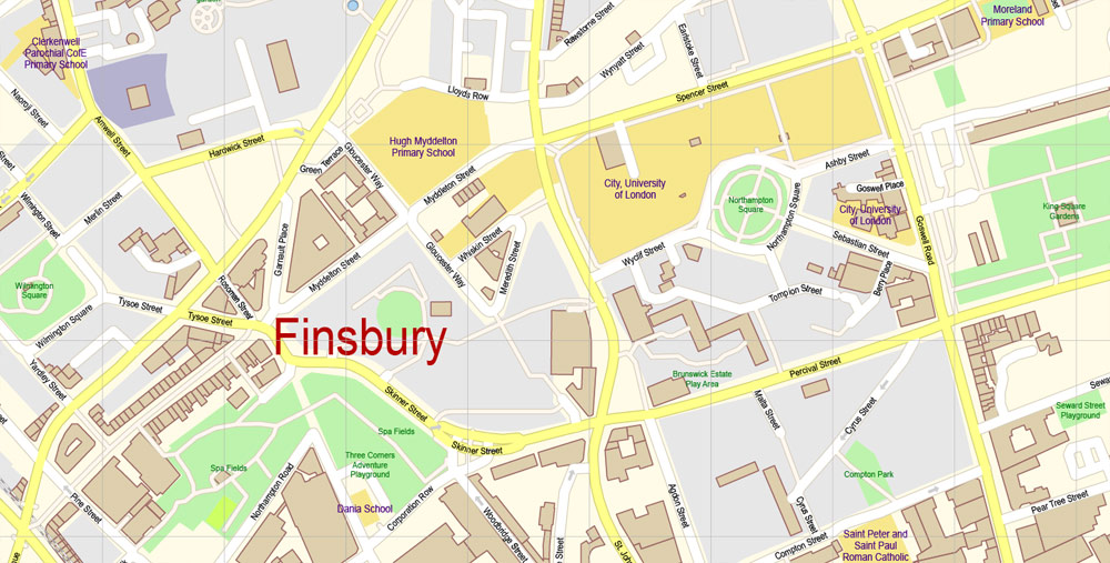
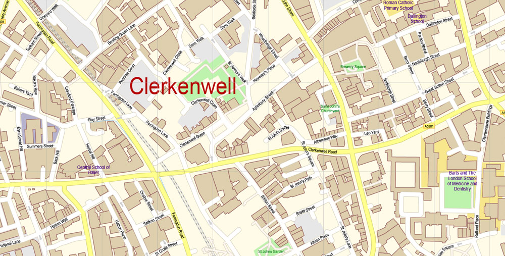
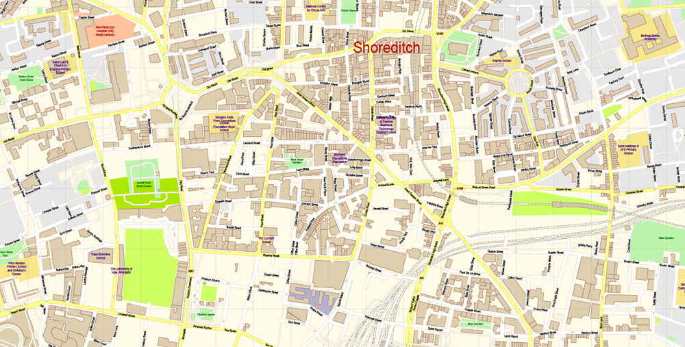
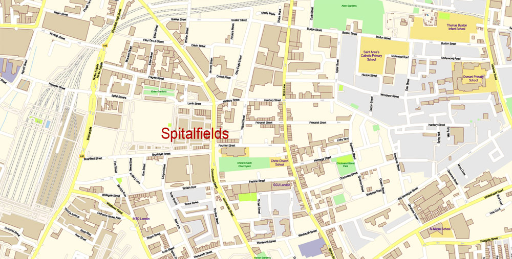
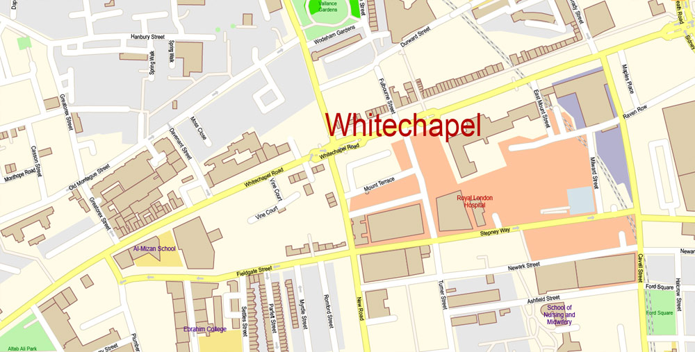
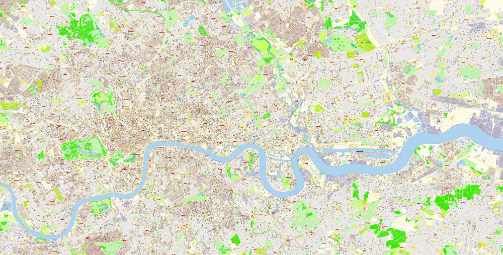
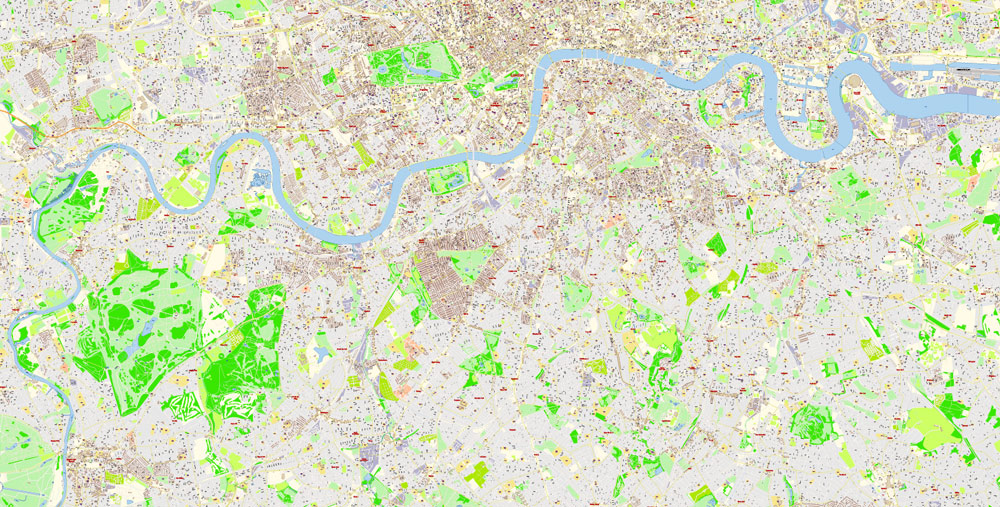
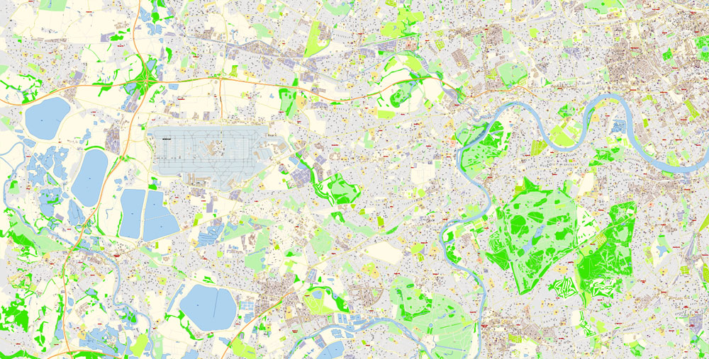
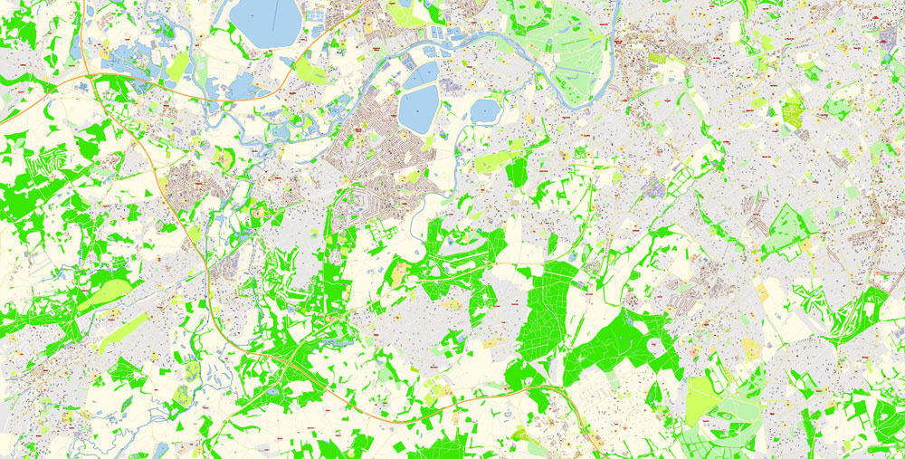
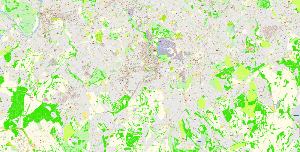
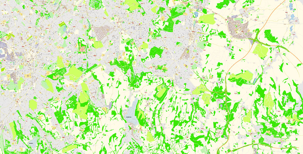
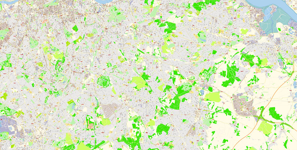
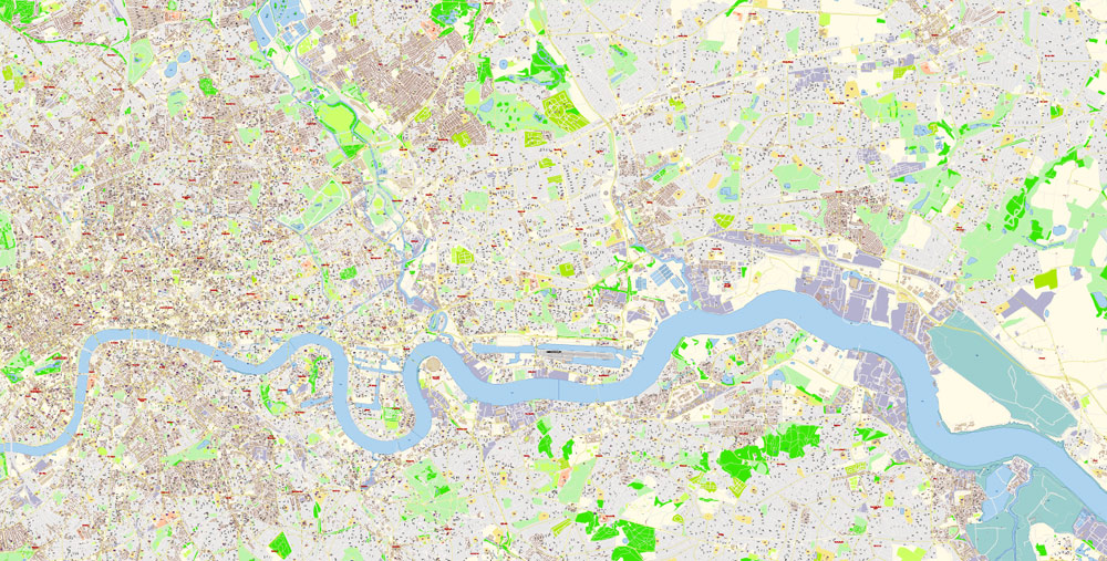
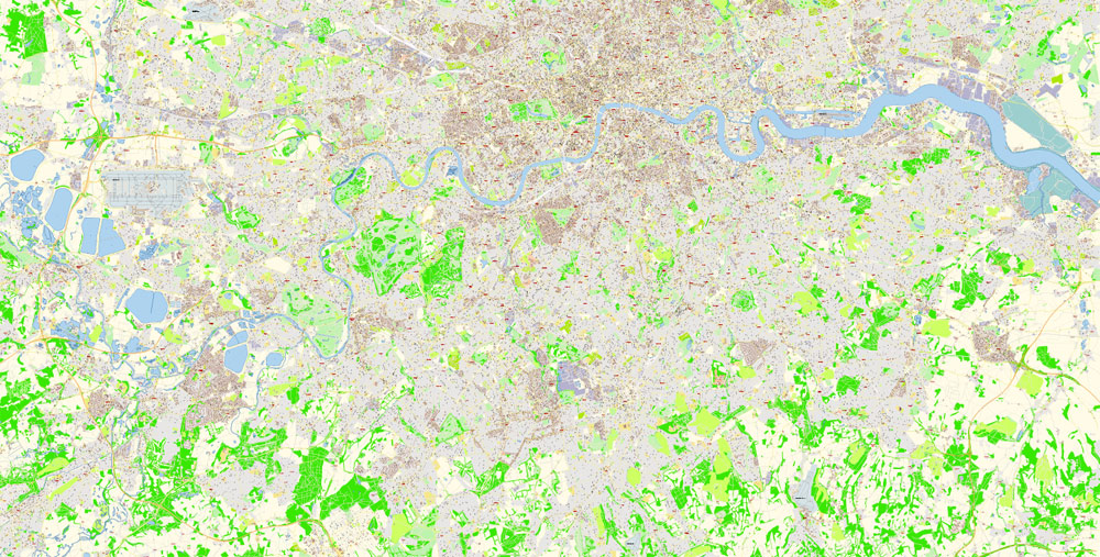
Printable Vector Map of London Greater UK high detailed City Plan scale 100 m 1:2925 full editable Adobe Illustrator Street Map in layers, scalable, text format all names, 92 MB ZIP
All street names, Main Objects, Buildings. Map for design, printing, arts, projects, presentations, for architects, designers, and builders, business, logistics.
Layers: color_fills, water, streets_roads, labels_roads, names_objects, names_streets, names_places, arrows_streets, buildings, legend, etc.
The most exact and detailed map of the city in scale.
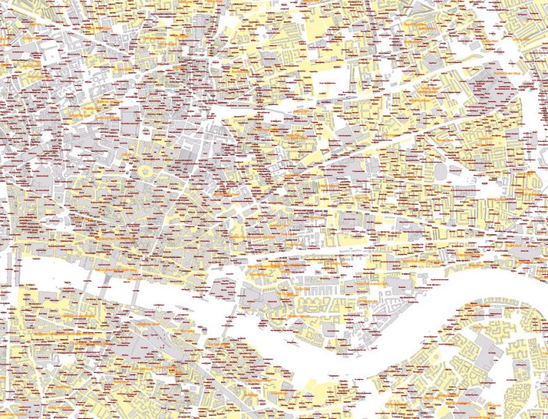
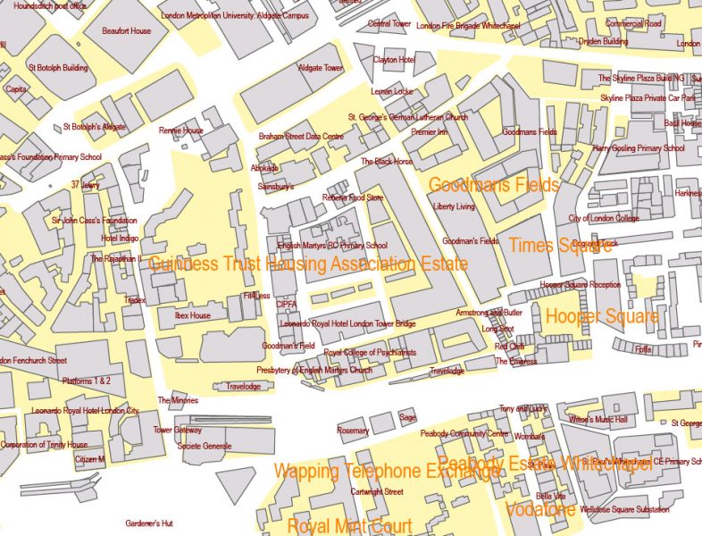
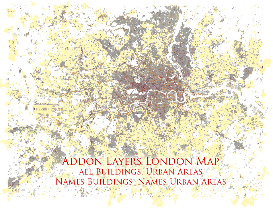
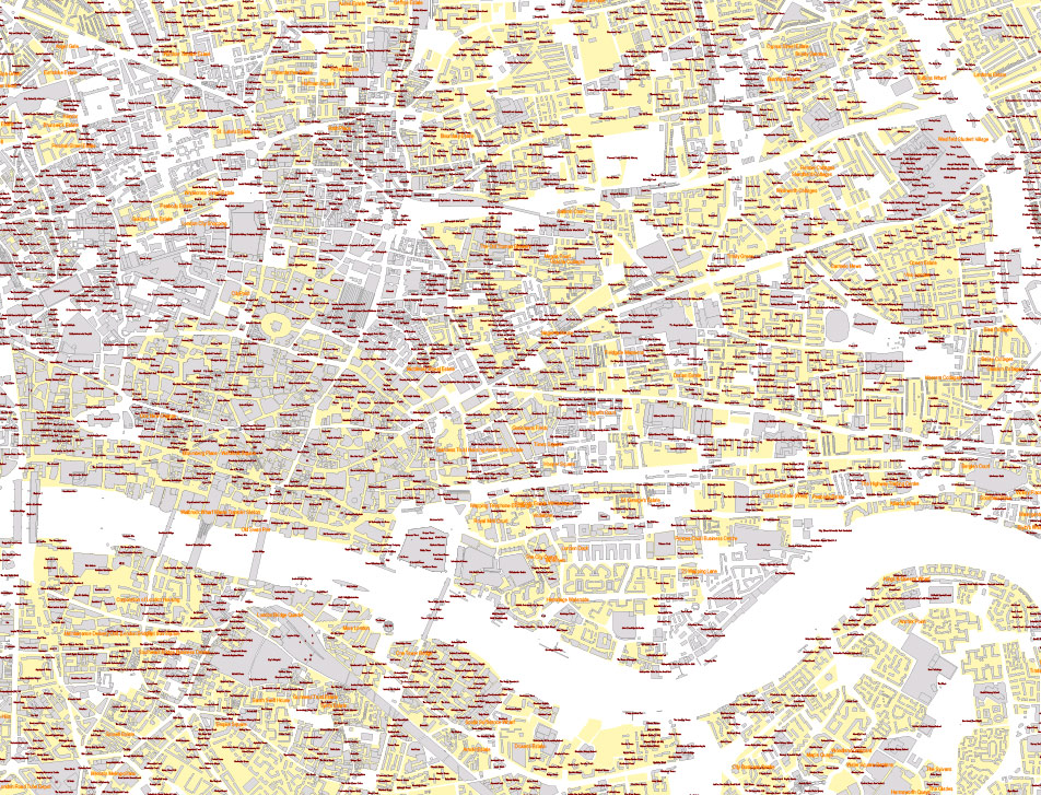
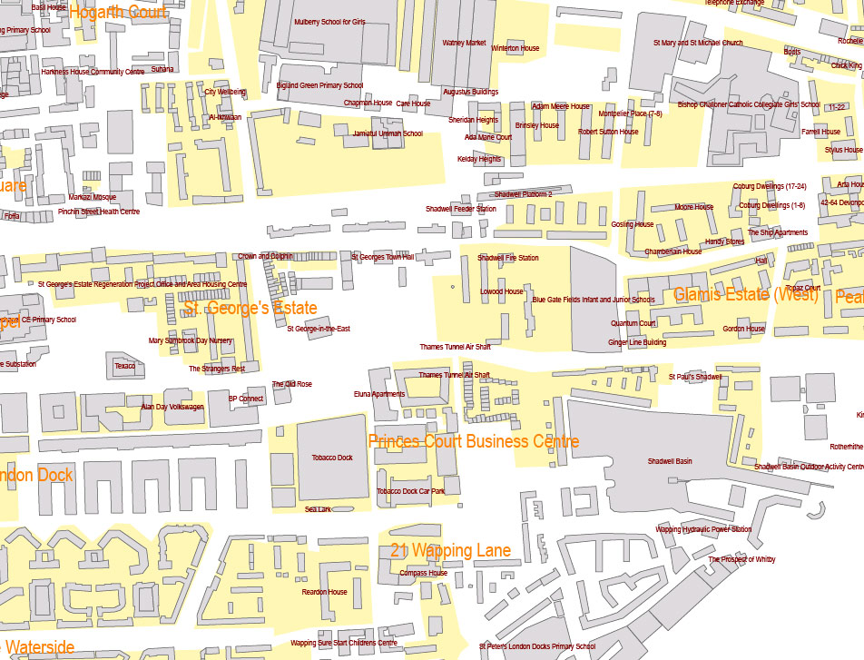
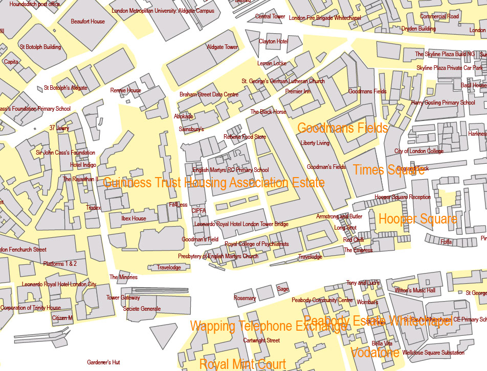
Addon map file (included in the archive as a separated file in 4 layers) – all buildings with names + urban areas with names.
IF YOU NEED: We can convert map file to any other format – DWG, DXF, CDR, Shape, and other.
For Editing and High-Quality Printing
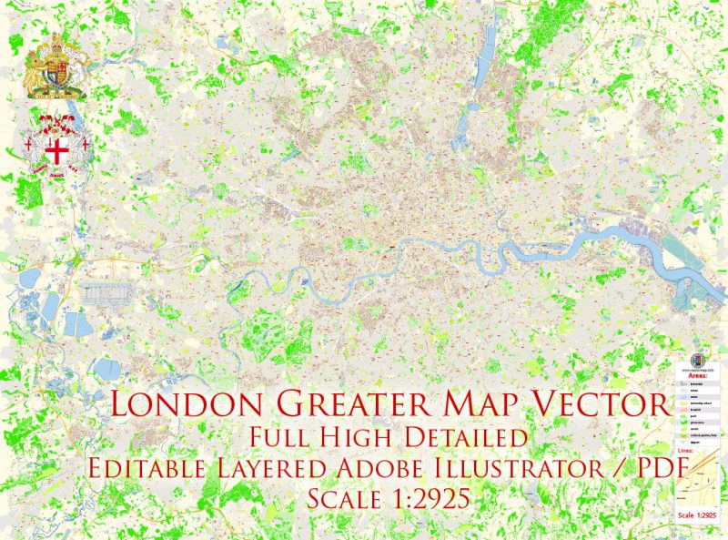
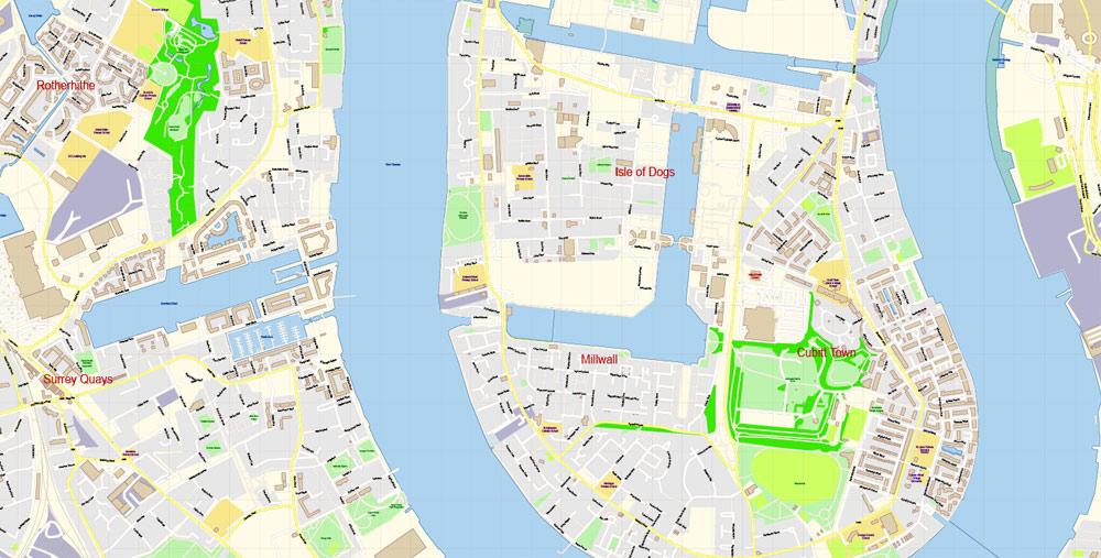
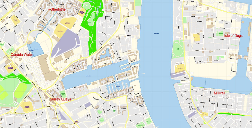
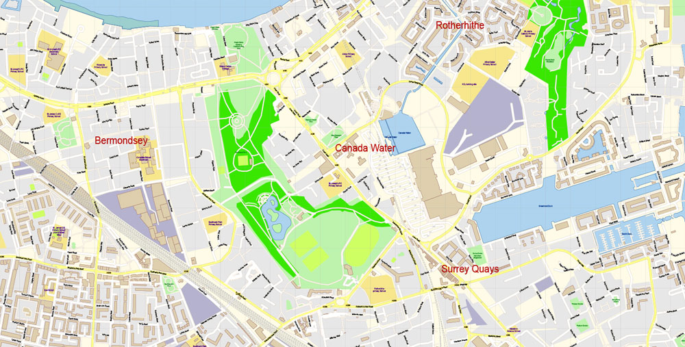
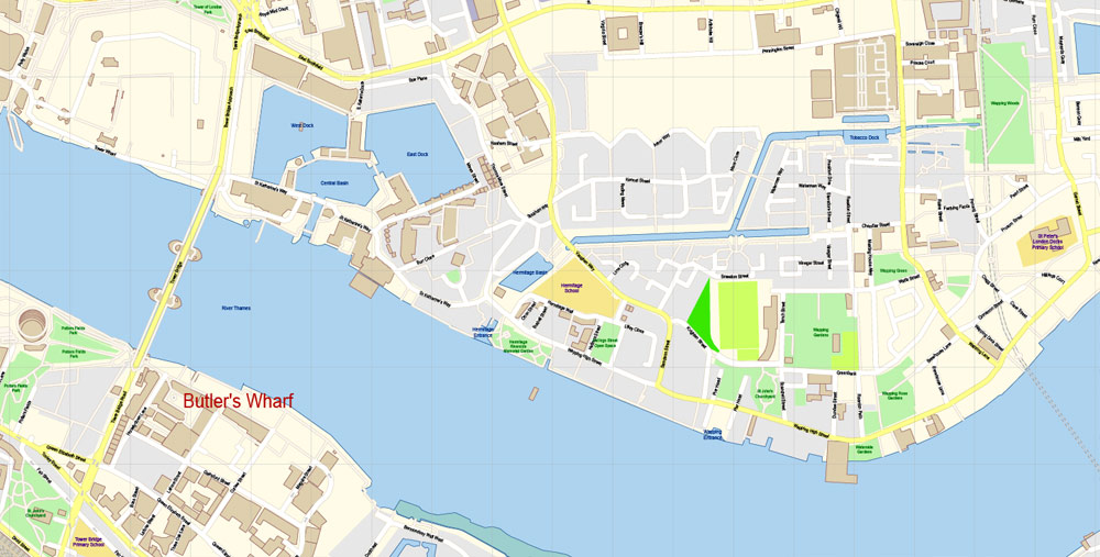
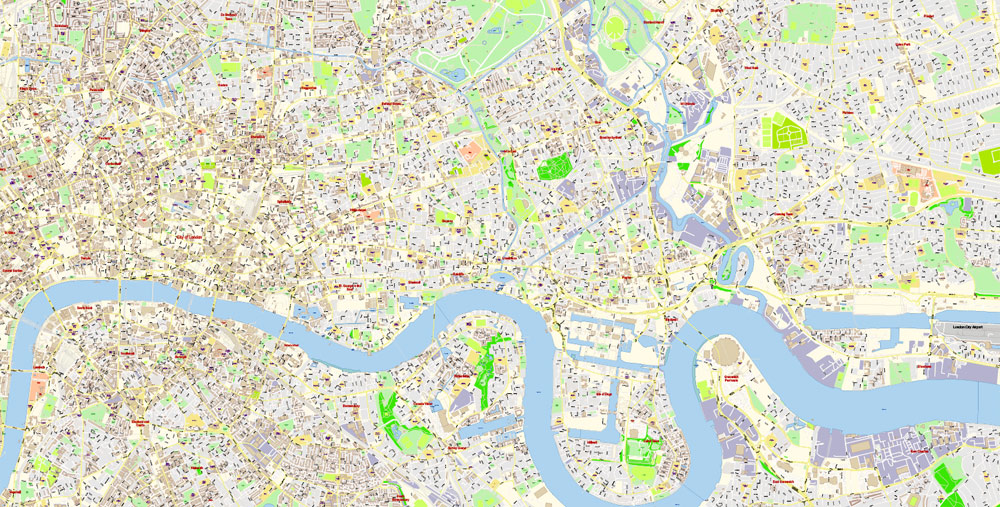
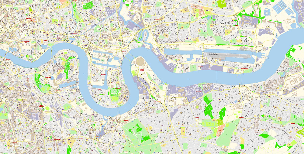
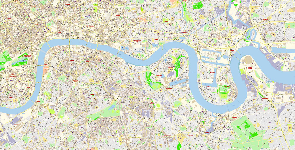
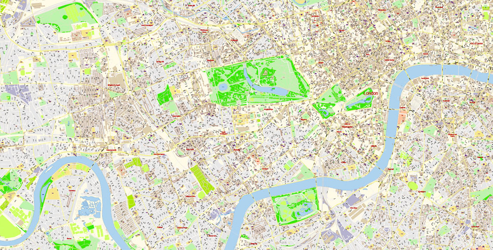
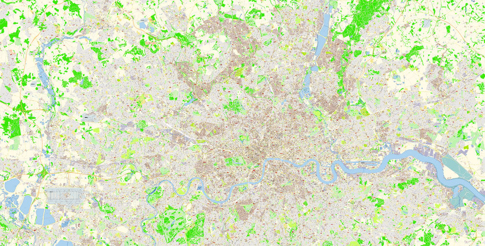
London Greater UK Map Vector Exact City Plan High Detailed Street Map editable Adobe Illustrator in layers
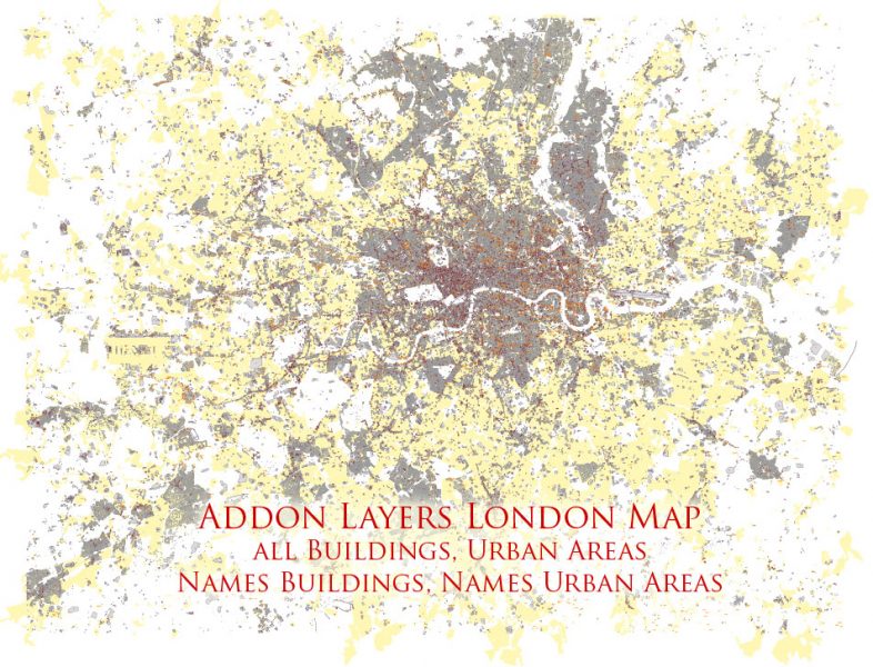
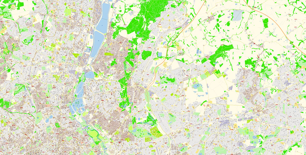
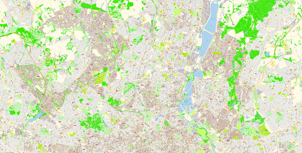
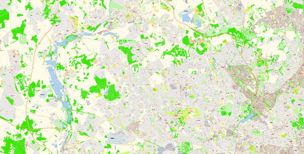
Addon map file London Greater UK Map Vector Exact City Plan High Detailed Street Map editable Adobe Illustrator in layers
LONDON
London is the capital of the United Kingdom of Great Britain and Northern Ireland and the largest city in the British Isles. The city was founded in 43 ad, during the invasion of Britain by the Romans led by Emperor Claudius. The modern name of the city comes from the Roman “Londinium”. In the Saxon era, London lost all meaning. However, in 884, Alfred the Great made the city his capital.
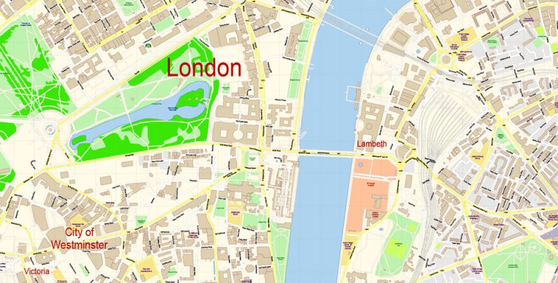
London Greater UK Map Vector Exact City Plan High Detailed Street Map editable Adobe Illustrator in layers
A terrible plague in 1665 claimed the lives of 70,000 Londoners, and a year later a terrible fire turned into ashes and ashes 4/5 of the buildings of the city. Project a brilliant architect Christopher Wren was soon built St. Paul’s Cathedral and fifty city churches. A century later, the city fathers decided to demolish the last remnants of the city wall that prevented London from growing and developing. The Grand world’s fair of 1851 at crystal Palace demonstrated to the world the wealth and power of the British Empire. At that time, the number of London residents exceeded 1 million. Today, the population of London with suburbs exceeds 12 million people, and the capital of the UK is considered one of the largest cities in the world.
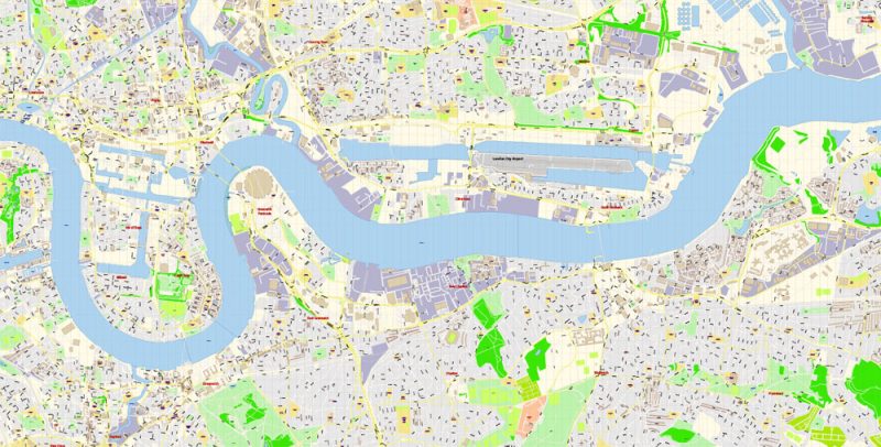
London Greater UK Map Vector Exact City Plan High Detailed Street Map editable Adobe Illustrator in layers
London is a city of remarkable historical monuments and excellent architectural ensembles, museums of world importance and magnificent art galleries, a city of picturesque suburbs and extensive shady parks.
As a cultural centre, London has become famous for its rich museums and art galleries, theatres and musical life. The city is also known for numerous ancient churches, which are stored national shrines of the English people.
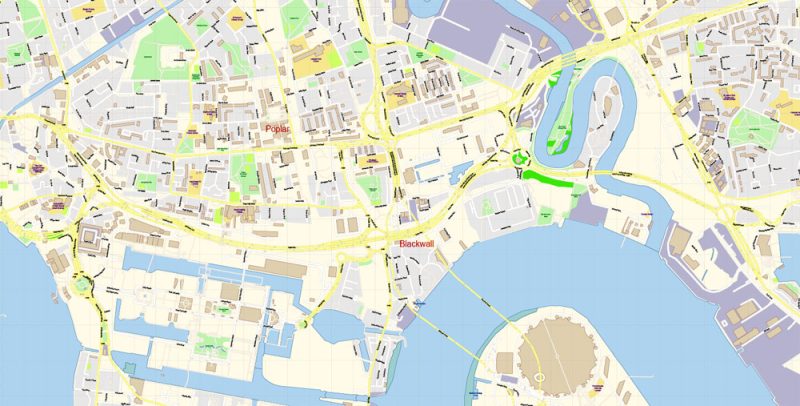
London Greater UK Map Vector Exact City Plan High Detailed Street Map editable Adobe Illustrator in layers
The Tower is not only the oldest building that has survived in the city but also the most valuable repository, where most of the history of London is concentrated. Over the centuries, the tower was completed and changed, depending on the taste of the ruling monarch, gradually bringing its architectural ensemble to the appearance that can be seen today. The oldest part of the tower is the White Tower, built-in 1078 as a fortress to protect against attacks, as well as the personal residence of William the Conqueror.
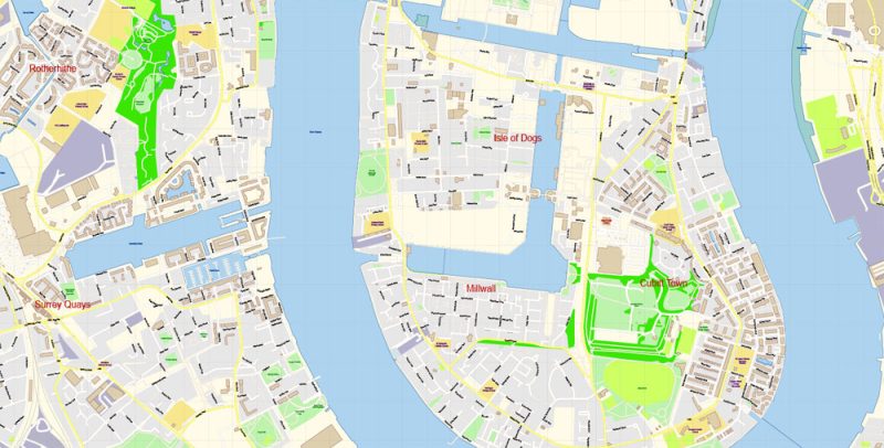
London Greater UK Map Vector Exact City Plan High Detailed Street Map editable Adobe Illustrator in layers
Symbols of London have long been St. Paul’s Cathedral, built in the early XVIII century by the architect Christopher Wren, and Westminster Abbey-a traditional place of coronation and burial of English monarchs. In the poets ‘ Corner of Westminster Abbey lies the ashes of Chaucer, Samuel Johnson, Tennyson, Browning, Dickens, and many other famous writers and poets.
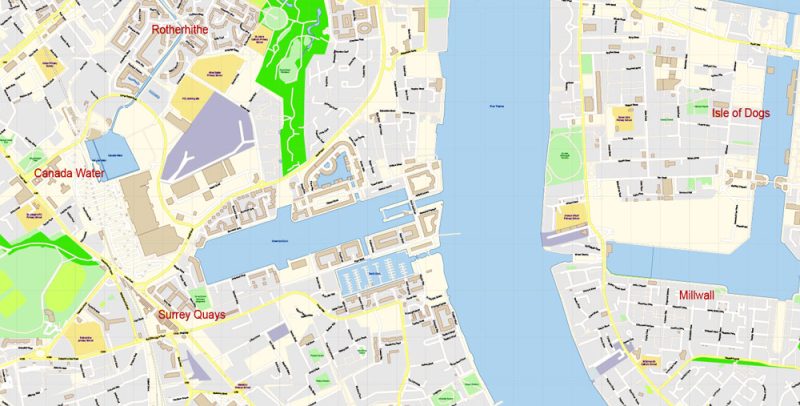
London Greater UK Map Vector Exact City Plan High Detailed Street Map editable Adobe Illustrator in layers
The modern Parliament building was built in 1850 by Charles Barry and Augustus Pugin. The building was erected on the site of the original building, which was almost completely destroyed in a fire in 1834. The famous tower of Parliament big Ben, which got its name from the 13.5-ton bell, is also a symbol of London.
London Greater UK Map Vector Exact City Plan High Detailed Street Map editable Adobe Illustrator in layers
Buckingham Palace is the official London residence of the British monarchs. When the monarch is in the Palace, the Royal Standard flies over the roof of the Palace. Part of the Palace premises is open to visitors usually one or two months a year. The daily ceremonial changing of the guard at Buckingham Palace is always popular among tourists.
London Greater UK Map Vector Exact City Plan High Detailed Street Map editable Adobe Illustrator in layers
The city is a city within a city. It has its Lord mayor, elected for a year, its police. During working hours, it accumulates about 1.5 million people. And at night there are only a few thousand people left in the city — watchmen, cleaners.
London Greater UK Map Vector Exact City Plan High Detailed Street Map editable Adobe Illustrator in layers
The focus of London’s museums in the South Kensington area, which houses the natural history Museum, the Science Museum, the Victoria and Albert Museum (the world’s largest collection of arts and crafts and design). Other notable museums are the British Museum, which has a collection of about 7.5 million exhibits; London national gallery, one of the most respected art museums in the world; the famous wax museum of Madame Tussauds; Sherlock Holmes Museum.
London Greater UK Map Vector Exact City Plan High Detailed Street Map editable Adobe Illustrator in layers
The 135-meter-high London eye Ferris wheel lifts visitors high above the Thames, offering views of the magnificent city.
30 thousand shops and boutiques of London will tire even the most sophisticated shoppers, and 6 thousand restaurants will demonstrate why the British respect their chefs as celebrities.
London Greater UK Map Vector Exact City Plan High Detailed Street Map editable Adobe Illustrator in layers
The most famous place for shopping in London is Oxford street, but it is not the only shopping street in the city: Londoners and tourists are also popular bond street in Mayfair and Knightsbridge, which houses the famous shopping center “Harrod’s”. Fashion shops can be found in Mayfair, Carnaby street in SOHO and kings road in Chelsea.
London Greater UK Map Vector Exact City Plan High Detailed Street Map editable Adobe Illustrator in layers
In London, you can find many restaurants to suit all tastes. The most expensive is in Westminster, more democratic – in SOHO. Scattered throughout the city are restaurants specializing in the national cuisine of different peoples, the most famous of them — Chinese in London’s Chinatown and Bangladeshi on Bricklane street.
Addon map file London Greater UK Map Vector Exact City Plan High Detailed Street Map editable Adobe Illustrator in layers
Addon map file London Greater UK Map Vector Exact City Plan High Detailed Street Map editable Adobe Illustrator in layers
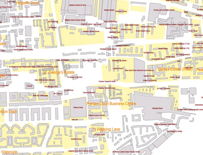
Addon map file London Greater UK Map Vector Exact City Plan High Detailed Street Map editable Adobe Illustrator in layers
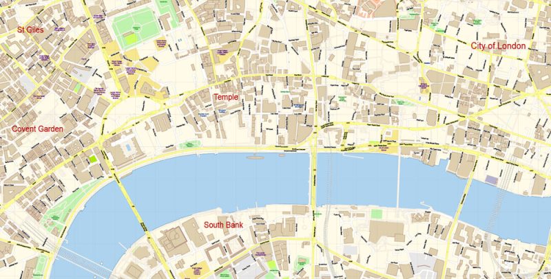
London Greater UK Map Vector Exact City Plan High Detailed Street Map editable Adobe Illustrator in layers
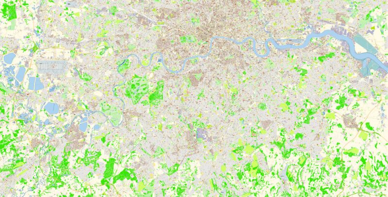
London Greater UK Map Vector Exact City Plan High Detailed Street Map editable Adobe Illustrator in layers
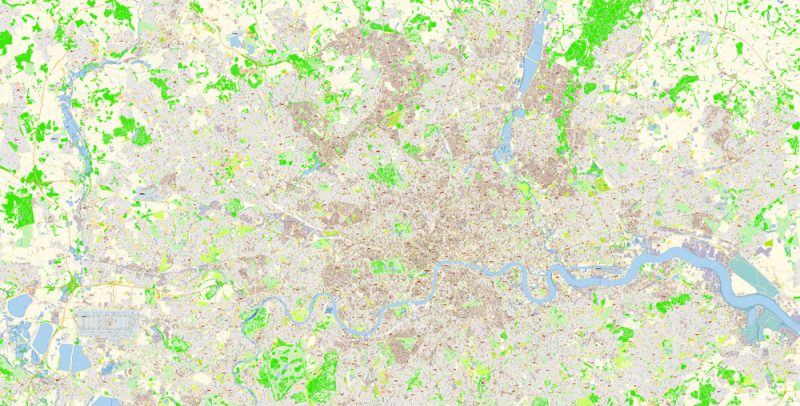
London Greater UK Map Vector Exact City Plan High Detailed Street Map editable Adobe Illustrator in layers
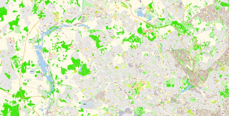
London Greater UK Map Vector Exact City Plan High Detailed Street Map editable Adobe Illustrator in layers
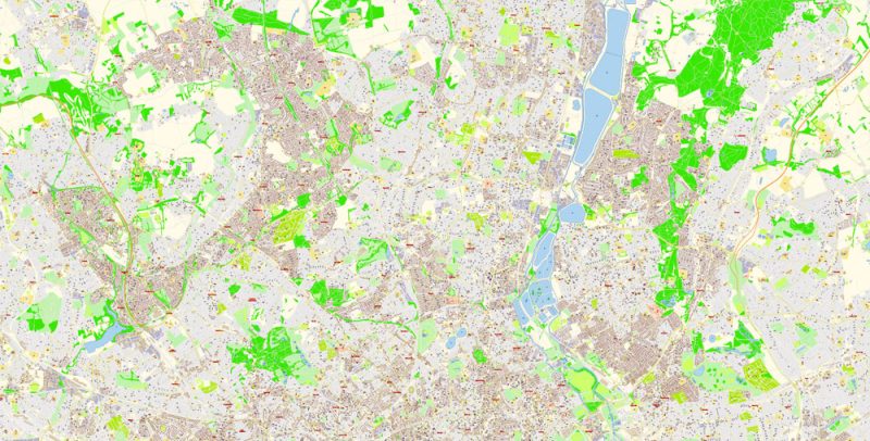
London Greater UK Map Vector Exact City Plan High Detailed Street Map editable Adobe Illustrator in layers
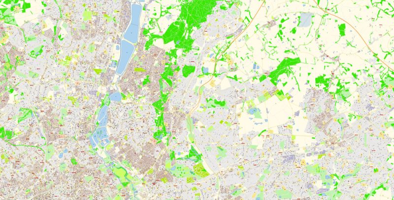
London Greater UK Map Vector Exact City Plan High Detailed Street Map editable Adobe Illustrator in layers
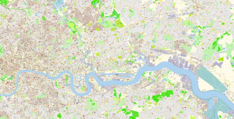
London Greater UK Map Vector Exact City Plan High Detailed Street Map editable Adobe Illustrator in layers
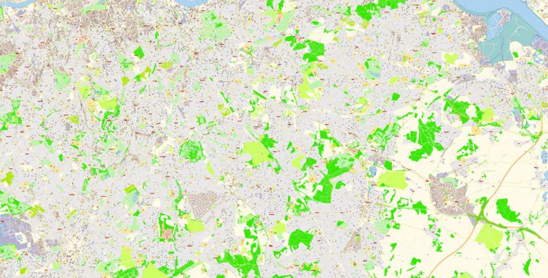
London Greater UK Map Vector Exact City Plan High Detailed Street Map editable Adobe Illustrator in layers
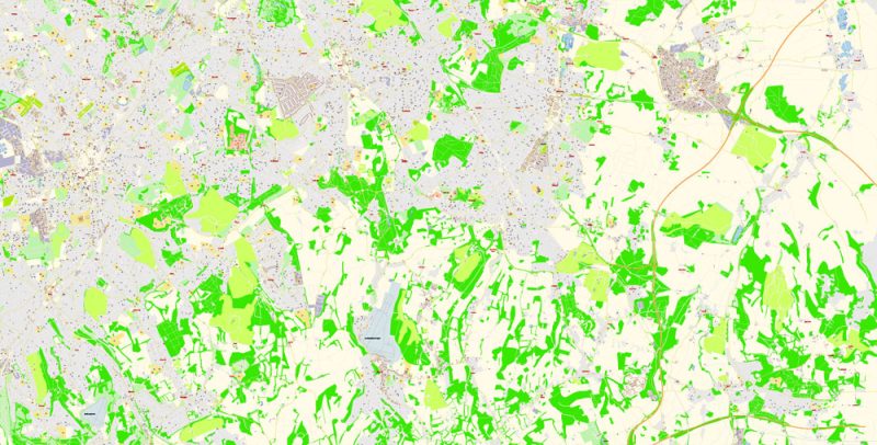
London Greater UK Map Vector Exact City Plan High Detailed Street Map editable Adobe Illustrator in layers
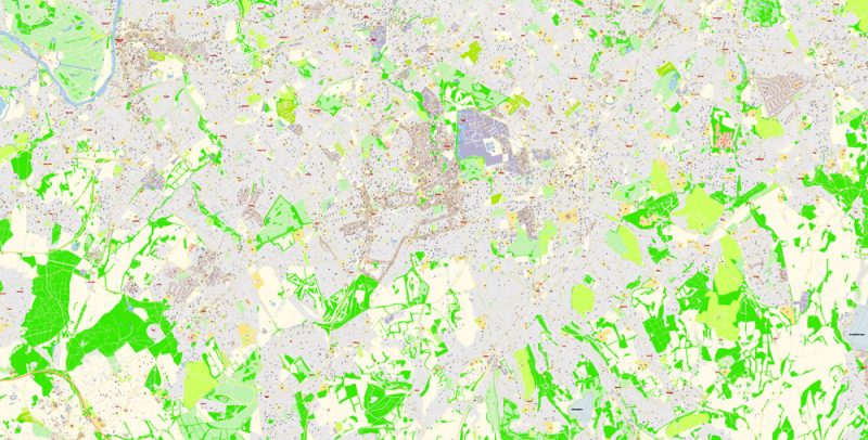
London Greater UK Map Vector Exact City Plan High Detailed Street Map editable Adobe Illustrator in layers
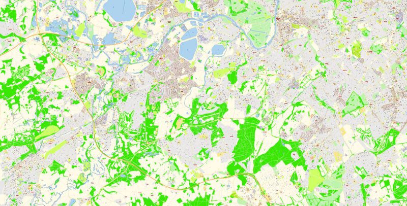
London Greater UK Map Vector Exact City Plan High Detailed Street Map editable Adobe Illustrator in layers
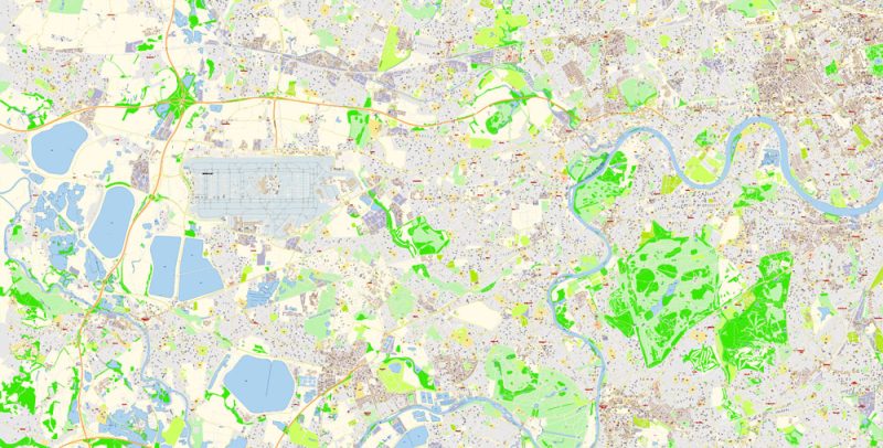
London Greater UK Map Vector Exact City Plan High Detailed Street Map editable Adobe Illustrator in layers
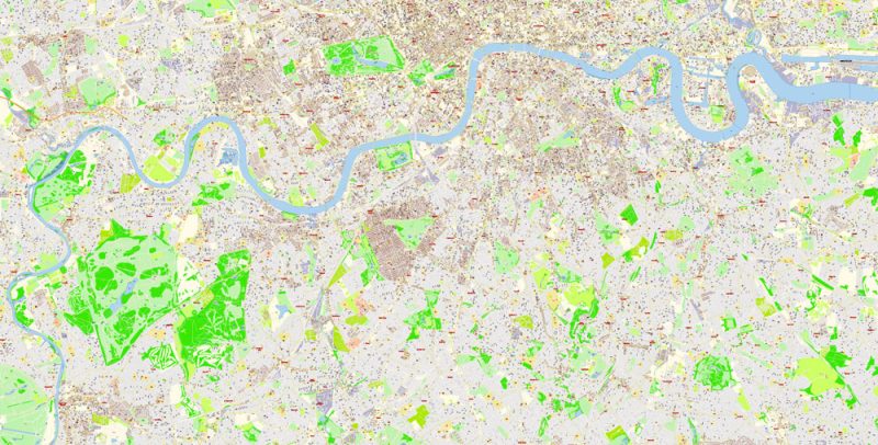
London Greater UK Map Vector Exact City Plan High Detailed Street Map editable Adobe Illustrator in layers
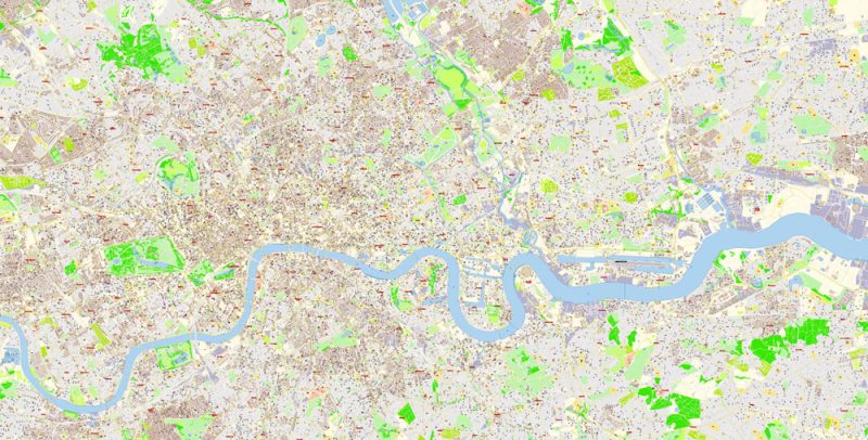
London Greater UK Map Vector Exact City Plan High Detailed Street Map editable Adobe Illustrator in layers
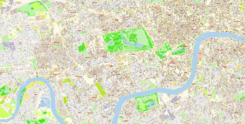
London Greater UK Map Vector Exact City Plan High Detailed Street Map editable Adobe Illustrator in layers
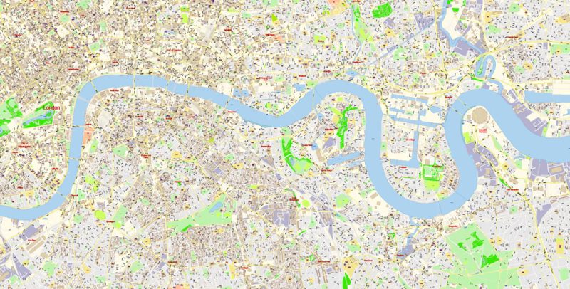
London Greater UK Map Vector Exact City Plan High Detailed Street Map editable Adobe Illustrator in layers
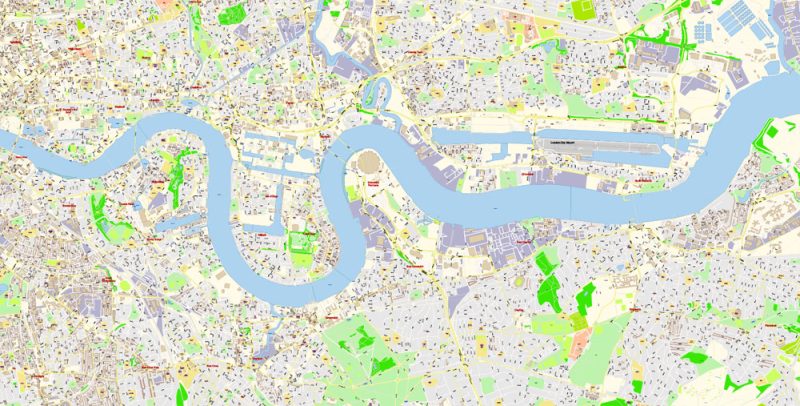
London Greater UK Map Vector Exact City Plan High Detailed Street Map editable Adobe Illustrator in layers
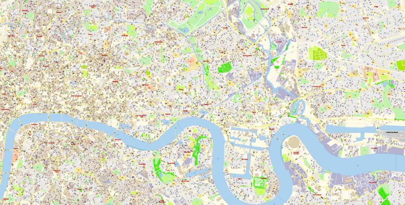
London Greater UK Map Vector Exact City Plan High Detailed Street Map editable Adobe Illustrator in layers
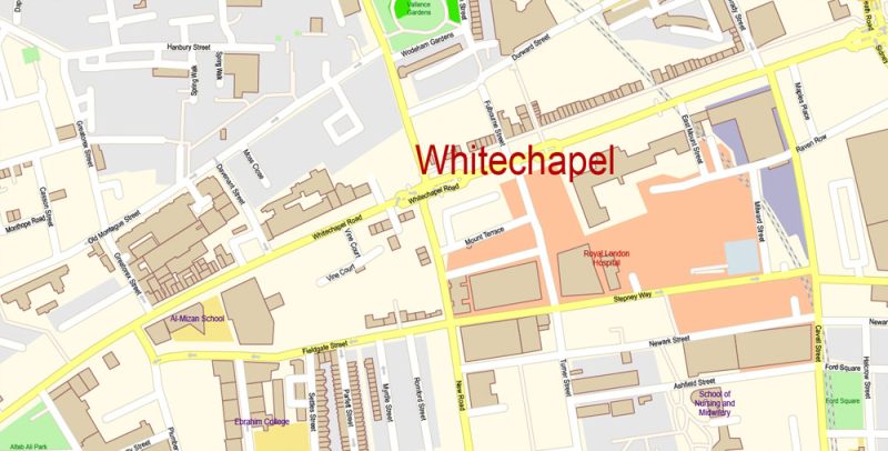
London Greater UK Map Vector Exact City Plan High Detailed Street Map editable Adobe Illustrator in layers
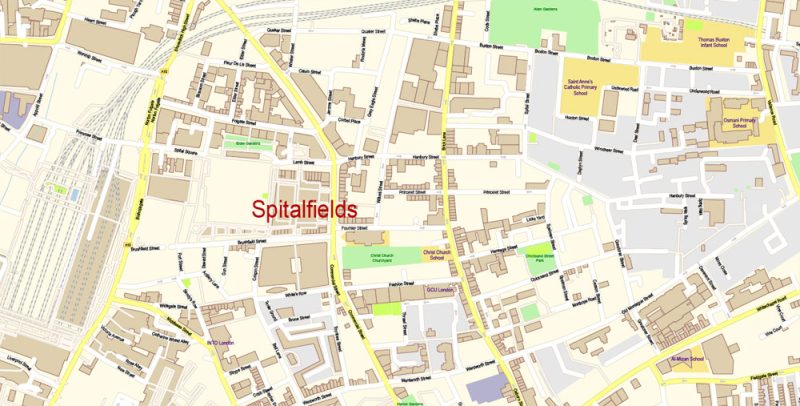
London Greater UK Map Vector Exact City Plan High Detailed Street Map editable Adobe Illustrator in layers
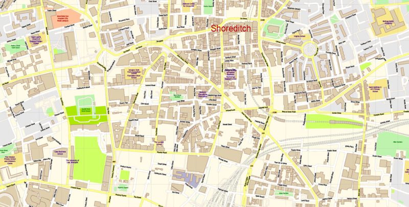
London Greater UK Map Vector Exact City Plan High Detailed Street Map editable Adobe Illustrator in layers
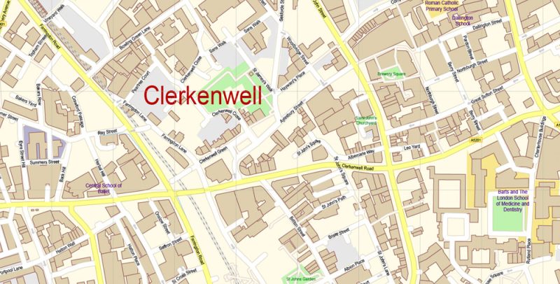
London Greater UK Map Vector Exact City Plan High Detailed Street Map editable Adobe Illustrator in layers
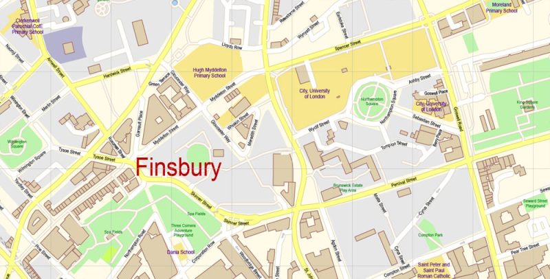
London Greater UK Map Vector Exact City Plan High Detailed Street Map editable Adobe Illustrator in layers
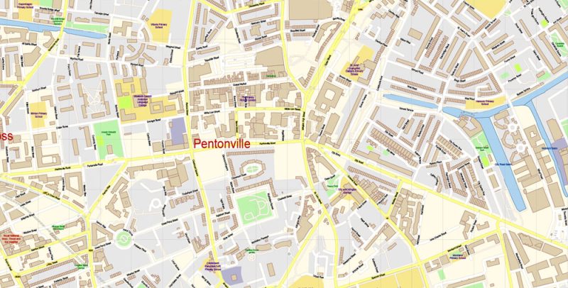
London Greater UK Map Vector Exact City Plan High Detailed Street Map editable Adobe Illustrator in layers
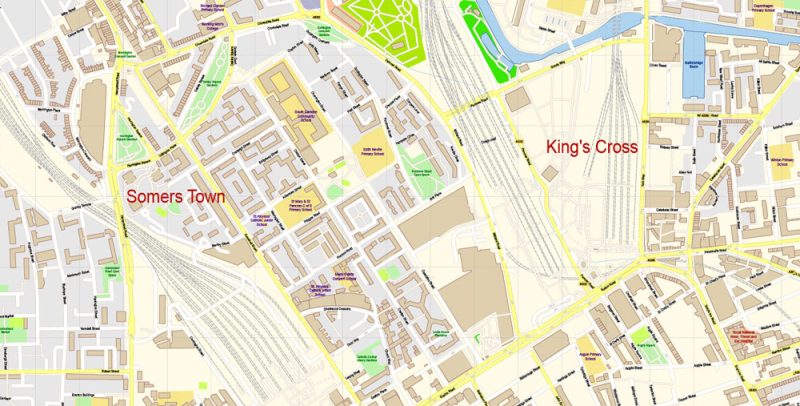
London Greater UK Map Vector Exact City Plan High Detailed Street Map editable Adobe Illustrator in layers
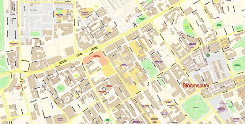
London Greater UK Map Vector Exact City Plan High Detailed Street Map editable Adobe Illustrator in layers
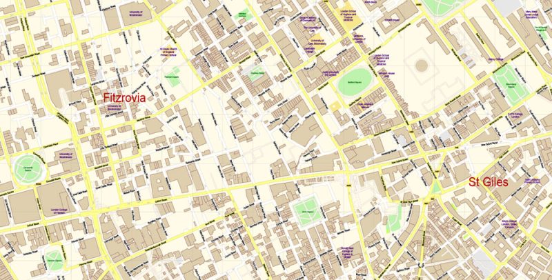
London Greater UK Map Vector Exact City Plan High Detailed Street Map editable Adobe Illustrator in layers
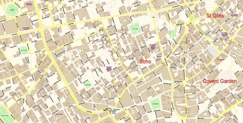
London Greater UK Map Vector Exact City Plan High Detailed Street Map editable Adobe Illustrator in layers
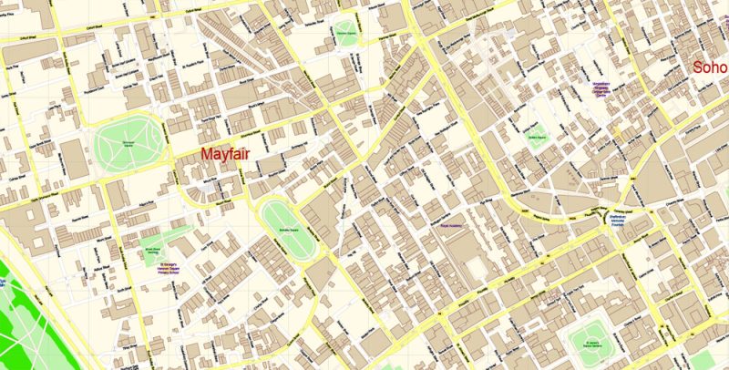
London Greater UK Map Vector Exact City Plan High Detailed Street Map editable Adobe Illustrator in layers
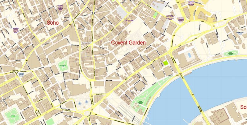
London Greater UK Map Vector Exact City Plan High Detailed Street Map editable Adobe Illustrator in layers
Author Rating
Aggregate Rating
no rating based on 0 votes
@vectormapper
Product Name London Greater UK Map Vector Exact City Plan High Detailed Street Map editable Adobe Illustrator in layers
Price
USD 87
Product Availability
Available in Stock



 Author: Kirill Shrayber, Ph.D. FRGS