Extended Description of the Vector Map
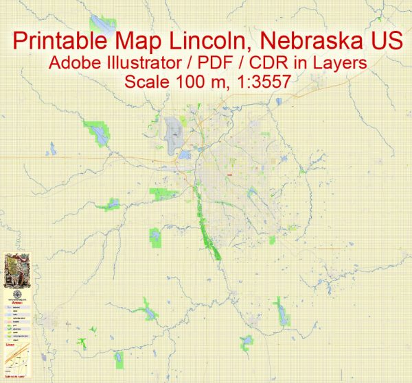
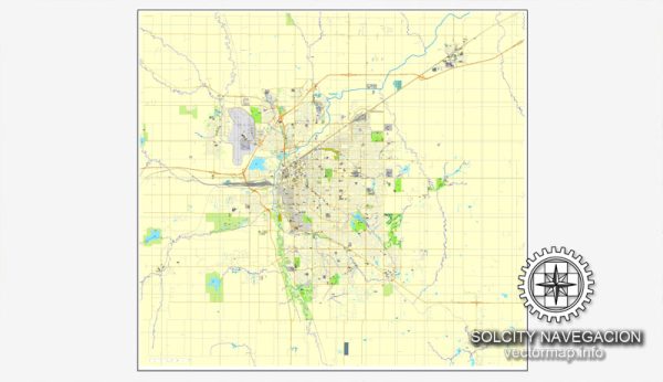
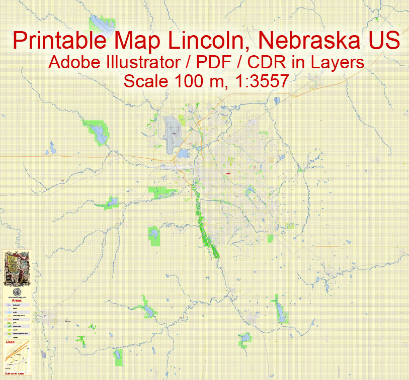
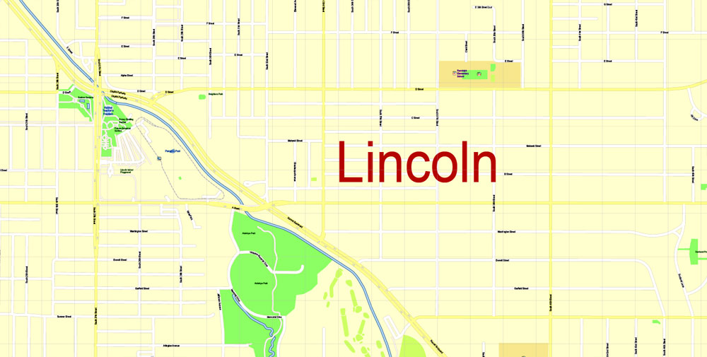
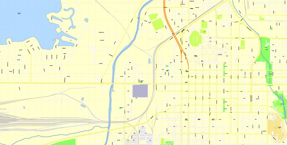
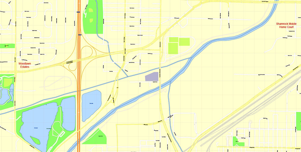
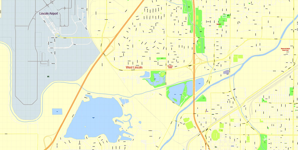
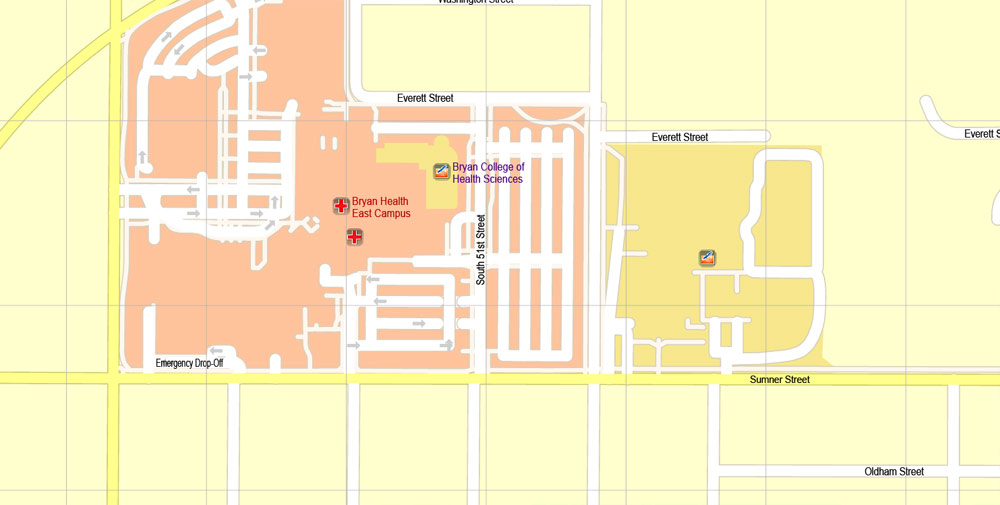
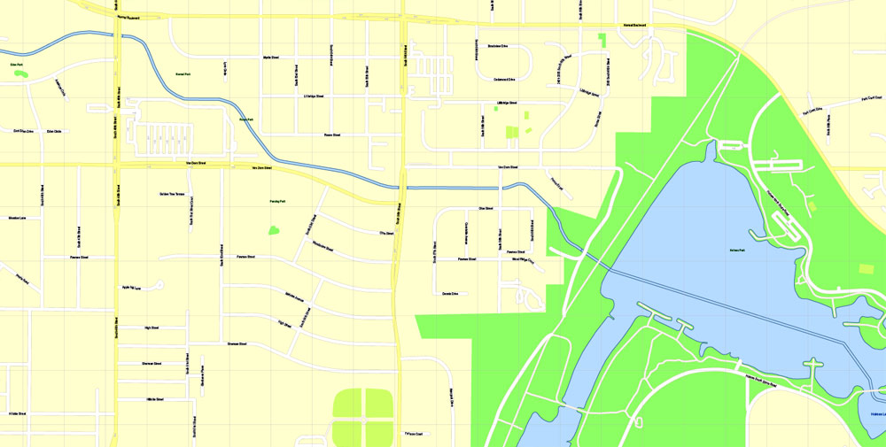
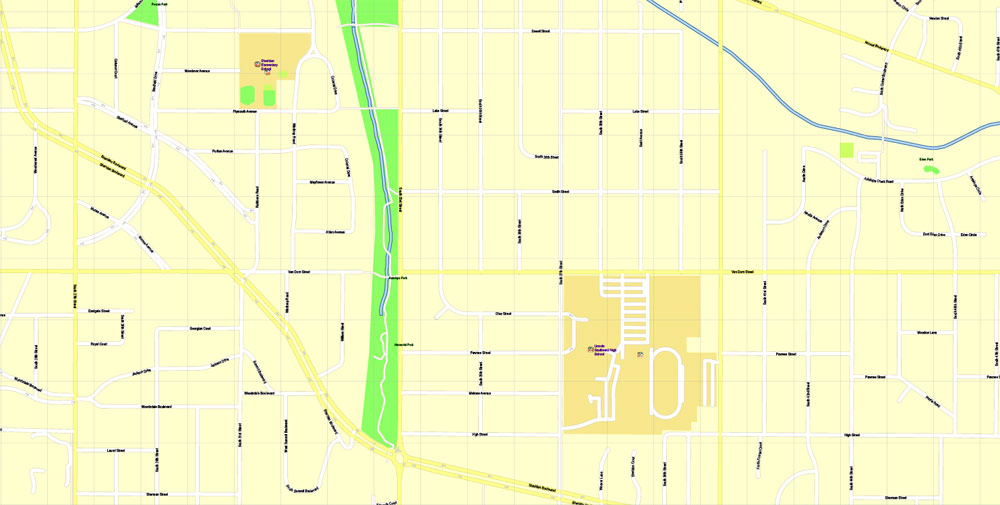
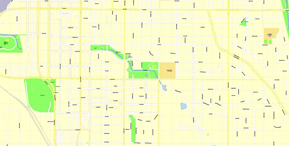
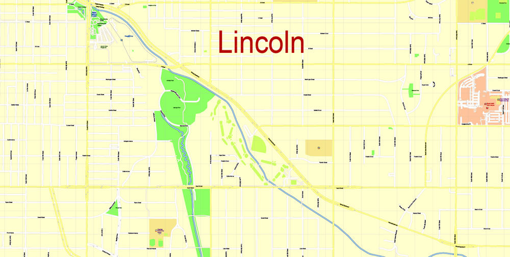
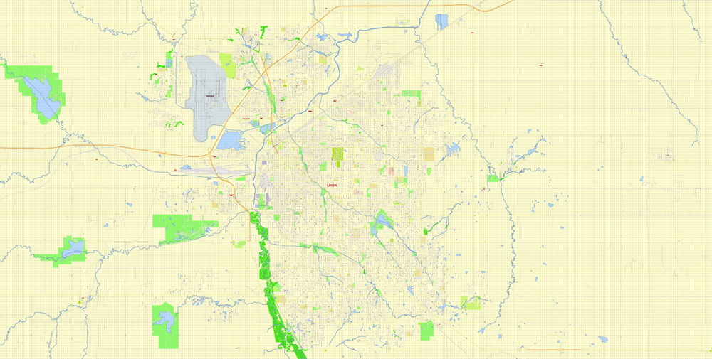
Printable PDF Map Lincoln Nebraska US, exact vector City Plan scale 1:3557, full editable, Adobe PDF, scalable, editable, text format street names, 32 mb ZIP
All streets named, Main Objects. Map for design, printing, arts, projects, presentations, for architects, designers and builders, business, logistics.
Layers: color fills, streets_roads, names_sreets, names_places, labels_roads, names_objects, grids, legend.
The most exact and detailed map of the city.
DWG, DXF, EPS and other formats – on request, same price, please, contact
Lincoln
City in Nebraska
Lincoln is the capital city of Nebraska. The Nebraska State Capitol has a domed tower with observation decks. Built in 1930, the Sunken Gardens features themed gardens, sculptures and lily ponds. Up-close animal encounters and a zoo train are among the draws of the Lincoln Children’s Zoo. Sheldon Museum of Art, on the University of Nebraska campus, has a notable collection of American art and a sculpture garden.
Area
• City 93.46 sq mi (242.06 km2)
• Land 92.11 sq mi (238.56 km2)
• Water 1.35 sq mi (3.50 km2) 1.4%
• Urban 89.61 sq mi (232.09 km2)
• Metro 1,422.27 sq mi (3,683.66 km2)
• CSA 2,260.44 sq mi (5,854.5 km2)
Elevation 1,176 ft (358 m)
Population
• City 258,379 (US: 73rd)
• Estimate 280,364
• Density 2,999.8/sq mi (1,158.2/km2)
• Urban 258,719 (US: 145th)
• Urban density 2,887.2/sq mi (1,114.8/km2)
• Metro 326,921 (US: 154th)
• Metro density 229.9/sq mi (88.8/km2)
• CSA 348,720 (US: 105th)
• CSA density 154.3/sq mi (59.7/km2)
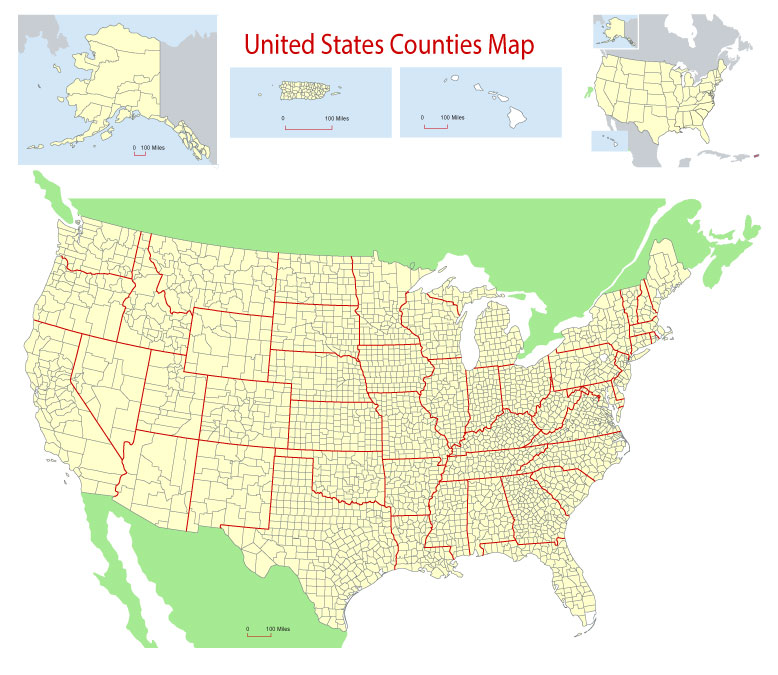
Free Download Vector Map US County and State Adobe Illustrator
Free_Vector_Map_US_States_County_Map.ai
Free Download Vector Map US County and State Adobe PDF
Free_Vector_Map_US_States_County_Map.pdf
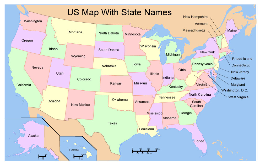
Free Download Vector Map US With States Names, Adobe Illustrator
Free_Map_of_USA_with_state_names_en.ai
Free Download Vector Map US With States Names, Adobe PDF
Free_Map_of_USA_with_state_names_en.pdf
From WIKI
Free vector map World, Adobe Illustrator, download now maps vector clipart
Map for design, projects, presentation free to use as you like.
See also: TERMS & CONDITIONS: SOFTWARE LICENSE AGREEMENT FOR DIGITAL CARTOGRAPHIC DATA.
Need more USA Vector Maps, printable and editable?
Author Rating
Aggregate Rating
no rating based on 0 votes
@vectormapper
Product Name Lincoln Nebraska PDF Map, exact vector City Plan scale 1:3557, full editable, Adobe PDF Street Map
Price
USD 49
Product Availability
Available in Stock





 Author: Kirill Shrayber, Ph.D. FRGS