Extended Description of the Vector Map
Printable PDF Vector Map Lane County Eugene Oregon US, exact detailed All Roads and Streets, Cities, Towns map editable Layered Adobe PDF in Layers scalable, editable text format all names, 175 MB ZIP
Names all streets, county areas, zipcodes areas with numbers, buildings
Map for design, printing, arts, projects, presentations, for architects, designers, and builders, business, logistics.
The most exact and detailed map of Lane County Eugene Oregon US.
Map for editing and High-Quality Printing
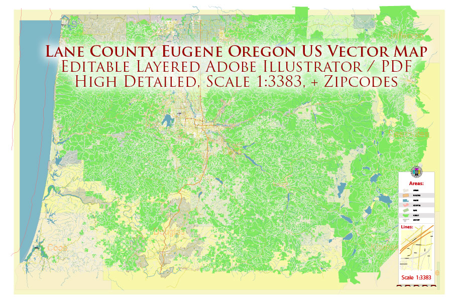
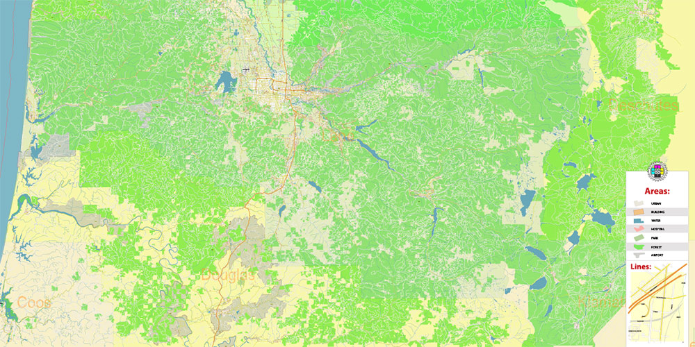
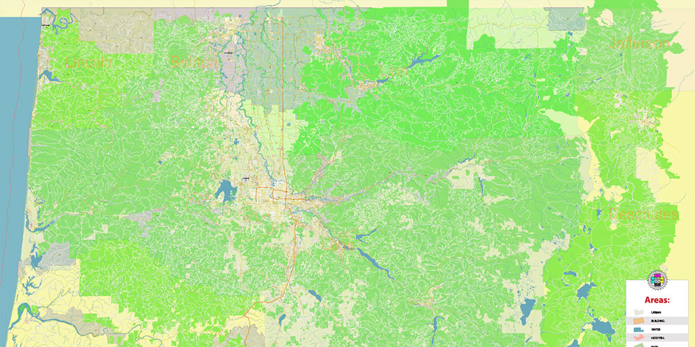
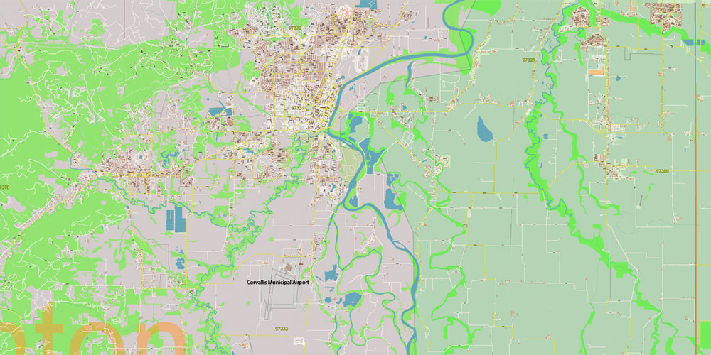
Lane County Eugene Oregon US PDF Vector Map exact detailed All Roads Cities Towns map editable Layered Adobe PDF
Layers list:
- Legend
- Grids
- Labels of Roads
- Names Counties
- Names Main Streets
- Names residential streets
- Numbers Zipcodes
- Names Objects
- Names Places
- Main Streets and Roads
- Residential roads and streets
- Buildings
- Railroads
- Airports and Heliports
- Landuse areas
- Water objects (areas)
- Waterways
- Counties areas
- Zipcodes areas
- Islands
- Background and sea

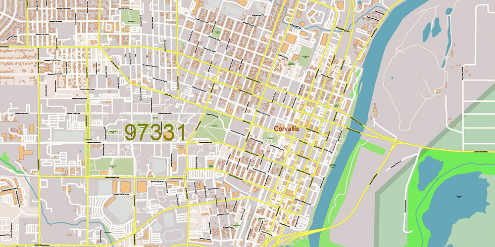
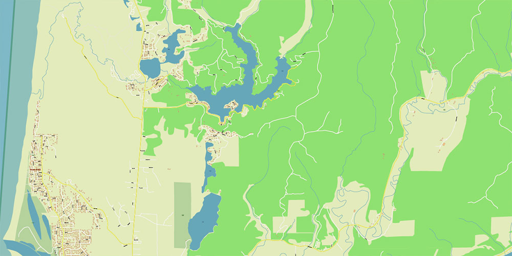
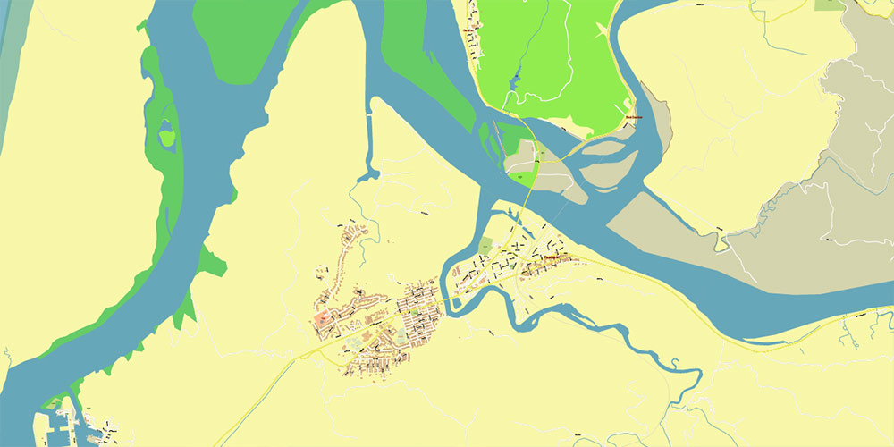
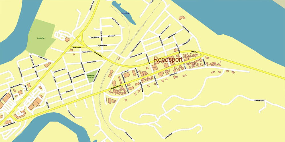
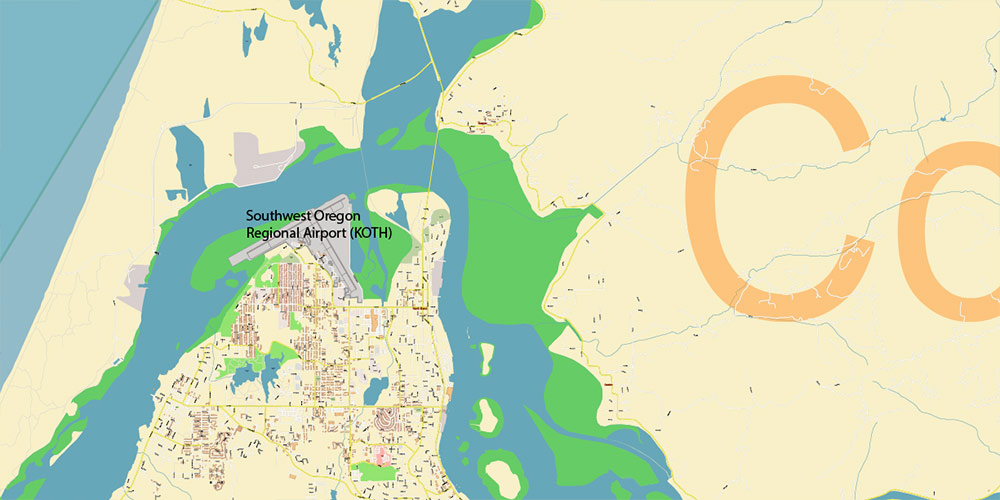
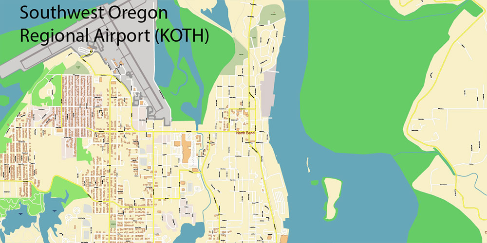
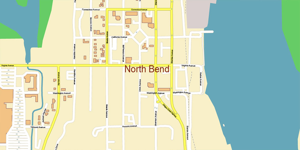
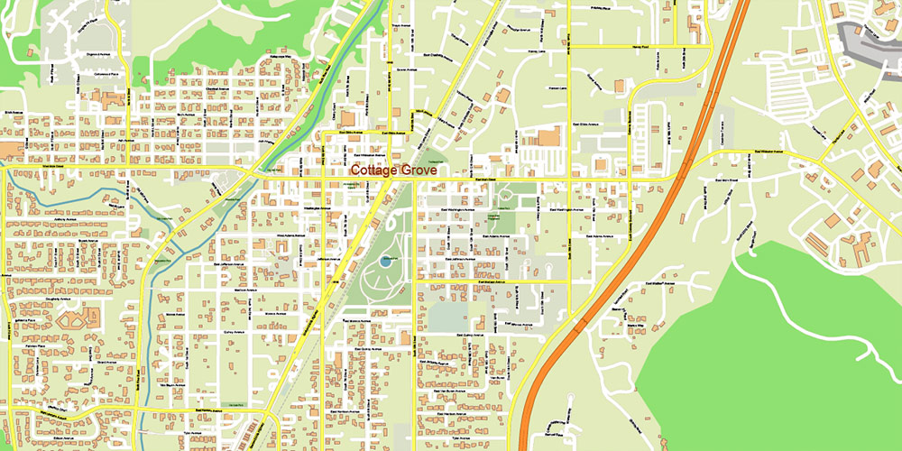
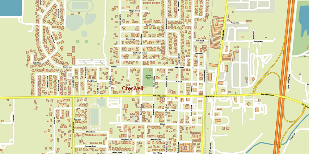
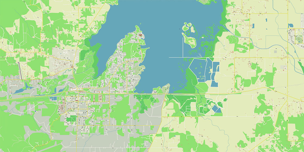
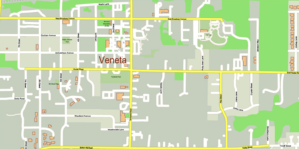
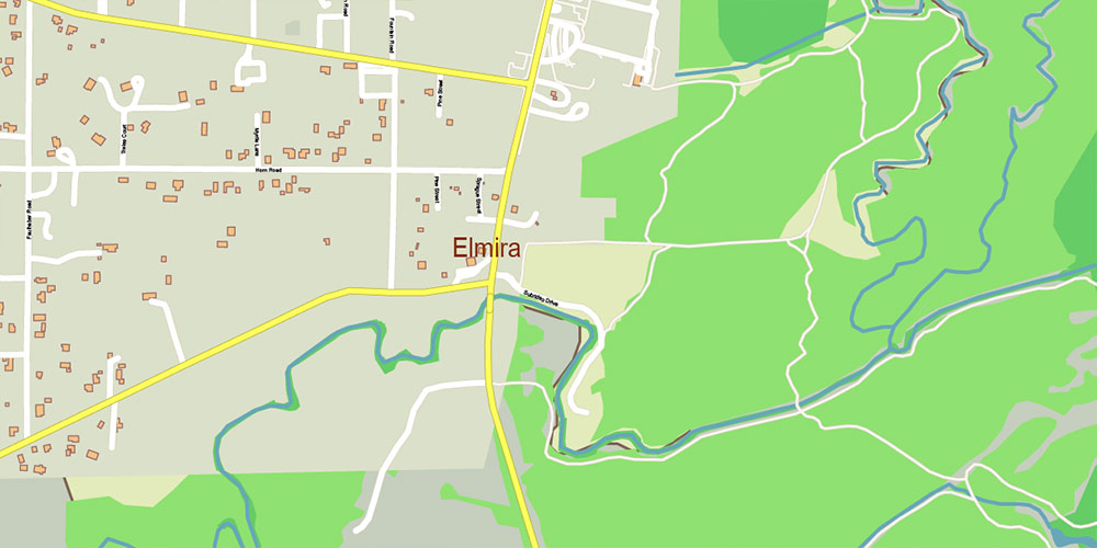
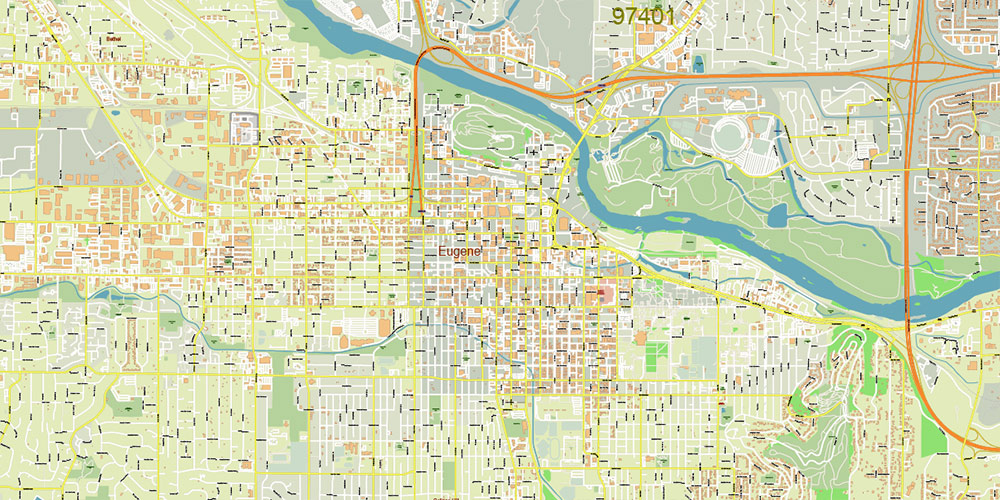
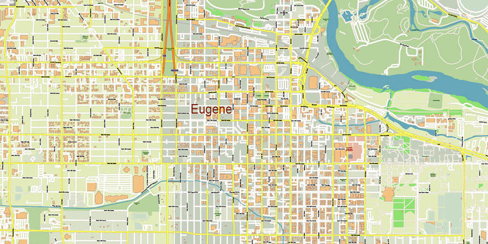
Lane County Eugene Oregon US PDF Vector Map exact detailed All Roads Cities Towns map editable Layered Adobe PDF
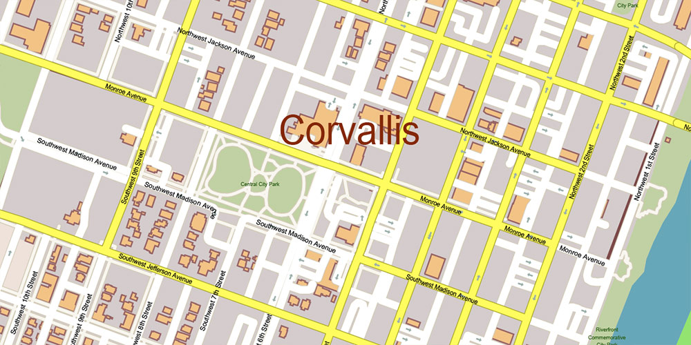
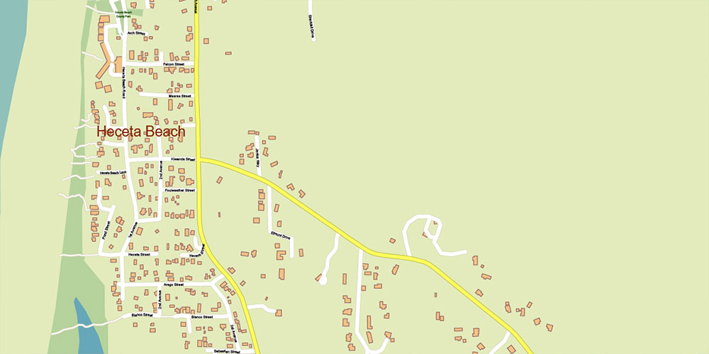
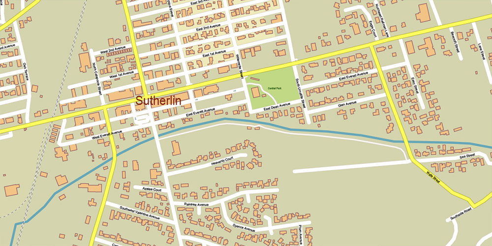
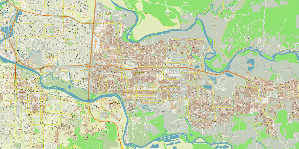
Lane County Eugene Oregon US PDF Vector Map exact detailed All Roads Cities Towns map editable Layered Adobe PDF
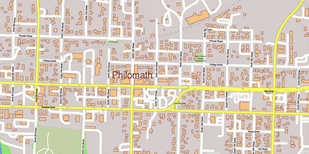
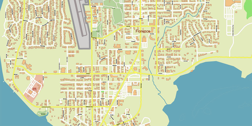
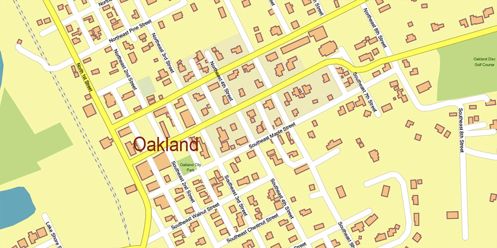
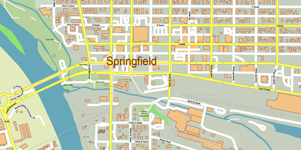
Lane County Eugene Oregon US PDF Vector Map exact detailed All Roads Cities Towns map editable Layered Adobe PDF
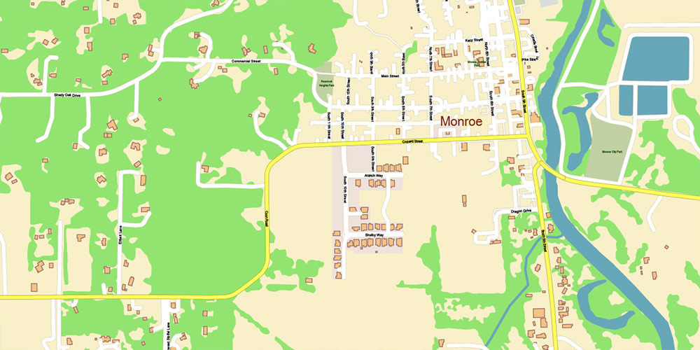
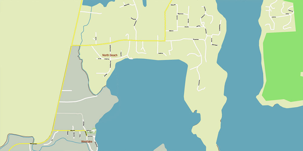
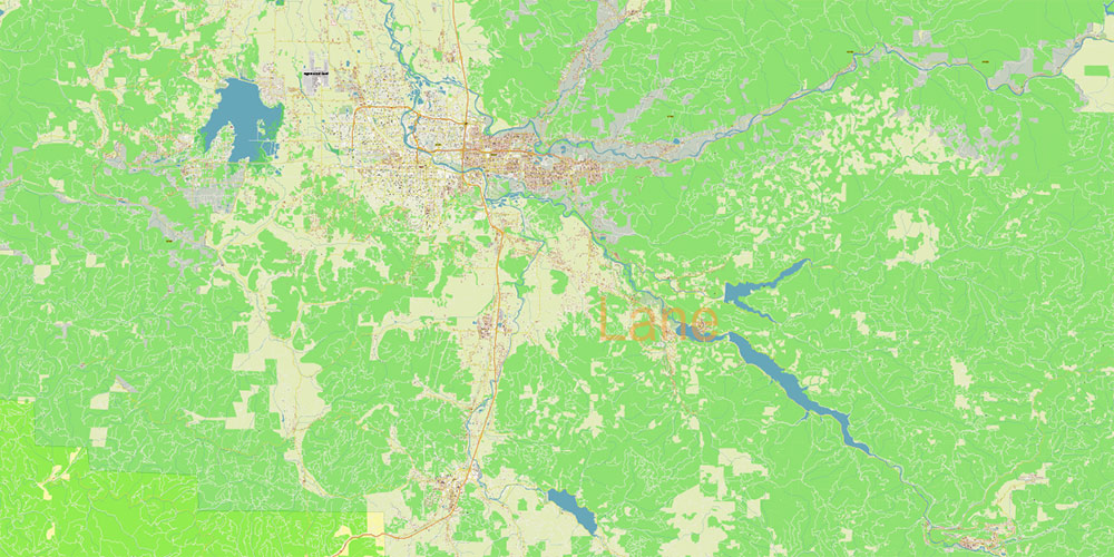
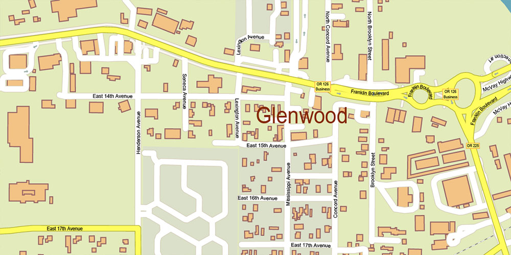
Lane County Eugene Oregon US PDF Vector Map exact detailed All Roads Cities Towns map editable Layered Adobe PDF
Lane County Eugene Oregon US PDF Vector Map exact detailed All Roads Cities Towns map editable Layered Adobe PDF
Lane County Eugene Oregon US PDF Vector Map exact detailed All Roads Cities Towns map editable Layered Adobe PDF
Lane County Eugene Oregon US PDF Vector Map exact detailed All Roads Cities Towns map editable Layered Adobe PDF
Lane County Eugene Oregon US PDF Vector Map exact detailed All Roads Cities Towns map editable Layered Adobe PDF
Lane County Eugene Oregon US PDF Vector Map exact detailed All Roads Cities Towns map editable Layered Adobe PDF
Lane County Eugene Oregon US PDF Vector Map exact detailed All Roads Cities Towns map editable Layered Adobe PDF
Lane County Eugene Oregon US PDF Vector Map exact detailed All Roads Cities Towns map editable Layered Adobe PDF
Lane County Eugene Oregon US PDF Vector Map exact detailed All Roads Cities Towns map editable Layered Adobe PDF
Lane County Eugene Oregon US PDF Vector Map exact detailed All Roads Cities Towns map editable Layered Adobe PDF
Lane County Eugene Oregon US PDF Vector Map exact detailed All Roads Cities Towns map editable Layered Adobe PDF
Lane County Eugene Oregon US PDF Vector Map exact detailed All Roads Cities Towns map editable Layered Adobe PDF
Lane County Eugene Oregon US PDF Vector Map exact detailed All Roads Cities Towns map editable Layered Adobe PDF
Lane County Eugene Oregon US PDF Vector Map exact detailed All Roads Cities Towns map editable Layered Adobe PDF
Lane County Eugene Oregon US PDF Vector Map exact detailed All Roads Cities Towns map editable Layered Adobe PDF
Lane County Eugene Oregon US PDF Vector Map exact detailed All Roads Cities Towns map editable Layered Adobe PDF
Lane County Eugene Oregon US PDF Vector Map exact detailed All Roads Cities Towns map editable Layered Adobe PDF
Lane County Eugene Oregon US PDF Vector Map exact detailed All Roads Cities Towns map editable Layered Adobe PDF
Lane County Eugene Oregon US PDF Vector Map exact detailed All Roads Cities Towns map editable Layered Adobe PDF
Lane County Eugene Oregon US PDF Vector Map exact detailed All Roads Cities Towns map editable Layered Adobe PDF
Lane County Eugene Oregon US PDF Vector Map exact detailed All Roads Cities Towns map editable Layered Adobe PDF
Lane County Eugene Oregon US PDF Vector Map exact detailed All Roads Cities Towns map editable Layered Adobe PDF
Lane County Eugene Oregon US PDF Vector Map exact detailed All Roads Cities Towns map editable Layered Adobe PDF
Lane County Eugene Oregon US PDF Vector Map exact detailed All Roads Cities Towns map editable Layered Adobe PDF
Lane County Eugene Oregon US PDF Vector Map exact detailed All Roads Cities Towns map editable Layered Adobe PDF
Lane County Eugene Oregon US PDF Vector Map exact detailed All Roads Cities Towns map editable Layered Adobe PDF
Lane County Eugene Oregon US PDF Vector Map exact detailed All Roads Cities Towns map editable Layered Adobe PDF

 Author: Kirill Shrayber, Ph.D. FRGS
