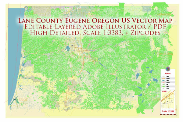
General overview of water and air transportation in Lane County, specifically in Eugene, Oregon, USA. Keep in mind that there may have been changes or developments since then.
Water Transportation: Eugene is primarily situated inland, and it doesn’t have direct access to large bodies of water suitable for significant water transportation. The Willamette River flows through the region, but its use for commercial transportation in this area is limited. Generally, water transportation in Eugene is more focused on recreational activities rather than commercial shipping.
Air Transportation: Eugene is served by the Eugene Airport (Mahlon Sweet Field), which is located about 7 miles northwest of downtown Eugene. The airport provides domestic flights to various destinations. Airlines operating from Eugene Airport include major carriers and regional airlines.
Eugene Airport (EUG) offers services such as:
- Passenger Flights: Domestic flights connect Eugene to major hubs across the United States.
- Cargo Services: The airport handles cargo shipments, supporting the transportation of goods.
- General Aviation: The airport supports general aviation activities, including private and small aircraft.
- Facilities: The airport features facilities such as terminals, runways, and parking to accommodate passenger and cargo traffic.
While Eugene doesn’t have a seaport due to its inland location, air transportation is a key aspect of connectivity for the region.


 Author: Kirill Shrayber, Ph.D.