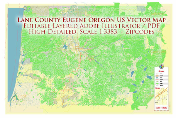
An overview of the general infrastructure in Lane County and Eugene, Oregon. Vectormap.Net provide you with the most accurate and up-to-date vector maps in Adobe Illustrator, PDF and other formats, designed for editing and printing. Please read the vector map descriptions carefully.
Transportation:
- Roads and Highways: Lane County has an extensive network of roads and highways connecting its various cities and towns. Major routes include Interstate 5, which runs north-south through the county, and State Route 126, providing access to the Oregon Coast.
- Public Transit: Eugene has a public transit system operated by Lane Transit District (LTD). The system includes bus services that serve Eugene and surrounding areas.
- Airports: The Eugene Airport (Mahlon Sweet Field) serves as the primary airport for the region, offering domestic flights.
Utilities:
- Water and Sewer: Municipalities in Lane County provide water and sewer services to residents and businesses. The management of these services varies depending on the specific city or town.
- Electricity: Electricity is supplied by various utility providers, and the region is part of the larger Pacific Northwest power grid.
- Internet and Telecommunications: Internet and telecommunications services are available, and the availability of high-speed internet depends on the specific location. Multiple providers offer services in the area.
Education and Healthcare:
- Schools and Universities: Lane County is home to several school districts providing K-12 education. The University of Oregon, located in Eugene, is a major educational institution in the region.
- Healthcare Facilities: Eugene has multiple hospitals and healthcare facilities, providing medical services to the community.
Recreation and Culture:
- Parks and Recreation Areas: The region boasts numerous parks, trails, and recreational areas. These include city parks, national forests, and opportunities for outdoor activities such as hiking, biking, and water sports.
- Cultural and Entertainment Facilities: Eugene has cultural and entertainment venues such as the Hult Center for the Performing Arts, museums, and theaters.
Economic Infrastructure:
- Business and Industry: Lane County’s economy includes diverse sectors such as agriculture, timber, manufacturing, healthcare, and education. The University of Oregon plays a significant role in the region’s economic landscape.
- Commercial Areas: Eugene has commercial districts and shopping centers that cater to the needs of residents and visitors.
It’s essential to note that infrastructure details may change over time, and for the most current and specific information, it is recommended to refer to local government sources, utility providers, and relevant agencies in Lane County and Eugene.


 Author: Kirill Shrayber, Ph.D.