Extended Description of the Vector Map
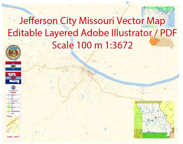
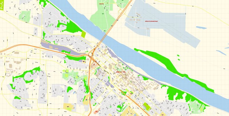
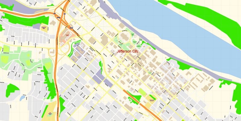
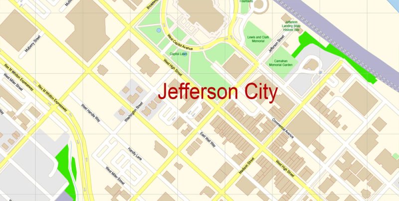
Printable PDF Vector Map of Jefferson City Missouri US detailed City Plan scale 100 m 1:3672 full editable Adobe PDF Street Map in layers, scalable, text format all names, 21 MB ZIP
All street names, Main Objects, Buildings. Map for design, printing, arts, projects, presentations, for architects, designers, and builders, business, logistics.
Layers: color_fills, water, streets_roads, labels_roads, names_objects, names_streets, names_places, arrows_streets, buildings, grids, legend, etc.
The most exact and detailed map of the city in scale.
For Editing and High-Quality Printing
Jefferson City
City in Missouri
Jefferson City, officially the city of Jefferson, is the capital of the U.S. state of Missouri and the 15th most populous city in the state. It is also the county seat of Cole County and the principal city of the Jefferson City Metropolitan Statistical Area. Wikipedia
Elevation: 192 m
Population: 42,895
Jefferson City Missouri Map Vector Exact City Plan detailed Street Map editable Adobe Illustrator in layers
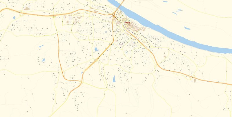
Jefferson City Missouri Map Vector Exact City Plan detailed Street Map editable Adobe Illustrator in layers
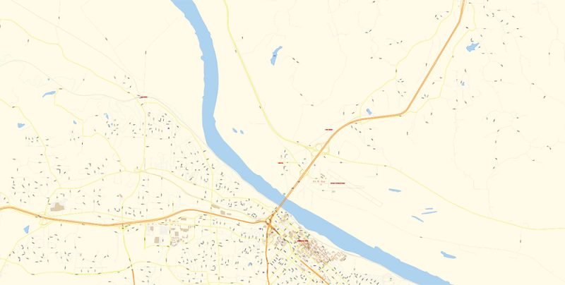
Jefferson City Missouri Map Vector Exact City Plan detailed Street Map editable Adobe Illustrator in layers
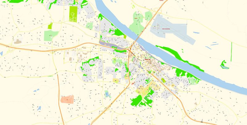
Jefferson City Missouri Map Vector Exact City Plan detailed Street Map editable Adobe Illustrator in layers
Jefferson City Missouri Map Vector Exact City Plan detailed Street Map editable Adobe Illustrator in layers
Jefferson City Missouri Map Vector Exact City Plan detailed Street Map editable Adobe Illustrator in layers
Jefferson City Missouri Map Vector Exact City Plan detailed Street Map editable Adobe Illustrator in layers


 Author: Kirill Shrayber, Ph.D. FRGS


