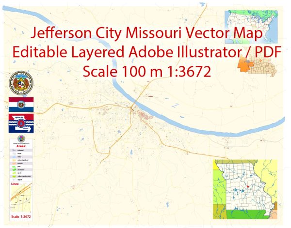
The main coordinates, total area, and some information about main streets and roads in Jefferson City, Missouri, USA.
Vectormap.Net provide you with the most accurate and up-to-date vector maps in Adobe Illustrator, PDF and other formats, designed for editing and printing. Please read the vector map descriptions carefully.
Main Coordinates (Latitude, Longitude):
- Latitude: 38.5767° N
- Longitude: 92.1735° W
Total Area: Jefferson City covers an area of approximately 37.58 square miles.
Main Streets and Roads:
- High Street: One of the primary streets in downtown Jefferson City, home to many government buildings and historic sites.
- Missouri Boulevard: A major thoroughfare running east-west through the city, hosting various commercial establishments, businesses, and offices.
- Highway 50/63: A significant highway passing through Jefferson City, providing important east-west transportation.
- Madison Street: Another notable street in the city, running parallel to High Street and intersecting with various other roads.
There were no toll roads specifically within the city limits of Jefferson City, Missouri.
Jefferson City is primarily served by a network of free roads and highways. Some of the major roads include:
- US Highway 50/63 (Jefferson City Expressway): This is a major east-west highway passing through Jefferson City. It connects the city to other parts of Missouri and provides access to various local destinations.
- Missouri Boulevard: Running east-west through the city, Missouri Boulevard is a significant commercial and business corridor. It is a free road and a key route for local traffic.
- High Street: Located in downtown Jefferson City, High Street is a historic thoroughfare that connects several government buildings, museums, and other points of interest. It is a free road.
- Madison Street: Another local street in Jefferson City, Madison Street runs parallel to High Street and intersects with various other roads. It is a free road.
For the most current and detailed information about toll roads, if any, in the Jefferson City area, it’s recommended to check with the Missouri Department of Transportation (MoDOT) or other local transportation authorities. Additionally, using GPS navigation apps or online mapping services can provide real-time updates on road conditions and toll information.


 Author: Kirill Shrayber, Ph.D.