Extended Description of the Vector Map
Printable PDF Vector Map Helsinki Finland, exact detailed City Plan, 100 meters scale map 1:2333, editable Layered Adobe PDF Street Map 42 Mb ZIP.
All streets names, main objects. Map for publishing, design, printing, publications, arts, projects, presentations, for architects, designers and builders, business, logistics. The most exact and detailed map of the city.
Layers: legend, grids, labels_roads, names_places, names_streets, names_objects, objects, arrows_streets, streets_roads, color_fills, etc.
Text format all names
For Editing and High Quality Printing
DWG, DXF, CDR, ESRI Shapes, and other formats – by request, same price, please contact.
Helsinki
Capital of Finland
Helsinki, Finland’s southern capital, sits on a peninsula in the Gulf of Finland. Its central avenue, Mannerheimintie, is flanked by institutions including the National Museum, tracing Finnish history from the Stone Age to the present. Also on Mannerheimintie are the imposing Parliament House and Kiasma, a contemporary art museum. Ornate red-brick Uspenski Cathedral overlooks a harbor.
Area
• City 715.48 km2 (276.25 sq mi)
• Land 213.75 km2 (82.53 sq mi)
• Water 501.74 km2 (193.72 sq mi)
• Urban 672.08 km2 (259.49 sq mi)
• Metro 3,697.52 km2 (1,427.62 sq mi)
Area rank 258th largest in Finland
Population
• City 642,045
• Rank Largest in Finland
• Density 3,003.72/km2 (7,779.6/sq mi)
• Urban 1,231,595
• Urban density 1,800/km2 (4,700/sq mi)
• Metro 1,470,552
• Metro density 397.7/km2 (1,030/sq mi)
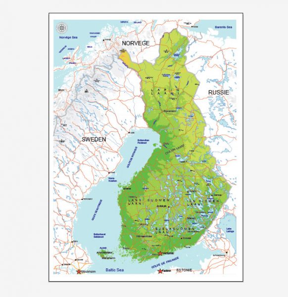
See Also: Full Map of Finland
Free vector maps:

Free download printable map Europe vector Adobe Illustrator >>>
Free download printable PDF map Europe vector Adobe PDF >>>


 Author: Kirill Shrayber, Ph.D. FRGS


