Extended Description of the Vector Map
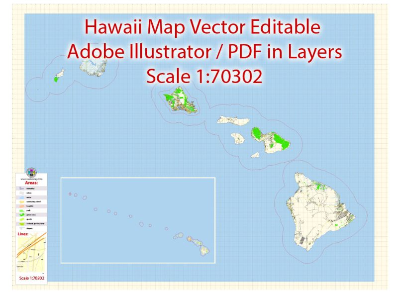
Printable Vector Map of Hawaii Islands detailed City Plan scale 1:70302 full editable Adobe Illustrator Street Map in layers, scalable, text format all names, 14 MB ZIP
Principal street names, Main Objects. Map for design, printing, arts, projects, presentations, for architects, designers, and builders, business, logistics.
Layers: color_fills, water, streets_roads, labels_roads, names_objects, names_streets, names_places, arrows_streets, buildings, grids, legend, etc.
The most exact and detailed map of the city in scale.
For Editing and High-Quality Printing
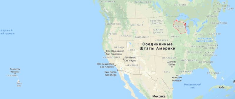
Hawaii
US State
Hawaii, a U.S. state, is an isolated volcanic archipelago in the Central Pacific. Its islands are renowned for their rugged landscapes of cliffs, waterfalls, tropical foliage, and beaches with gold, red, black and even green sands. Of the 6 main islands, Oahu has Hawaii’s biggest city and capital, Honolulu, home to crescent Waikiki Beach and Pearl Harbor’s WWII memorials.
Capital: Honolulu
Statehood granted: August 21, 1959
Official language: English, Hawaiian
Population: 1.42 million (2018)
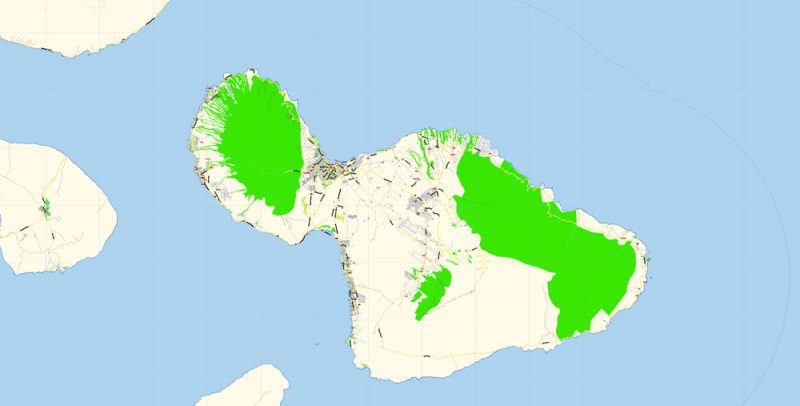
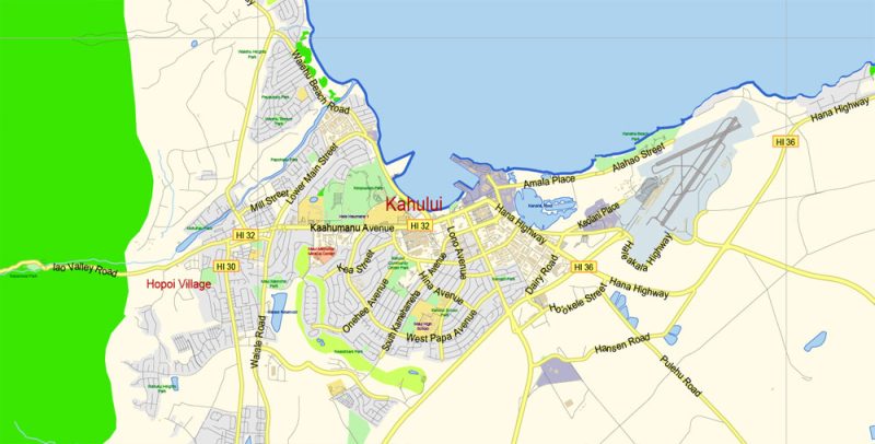
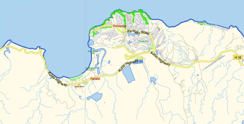
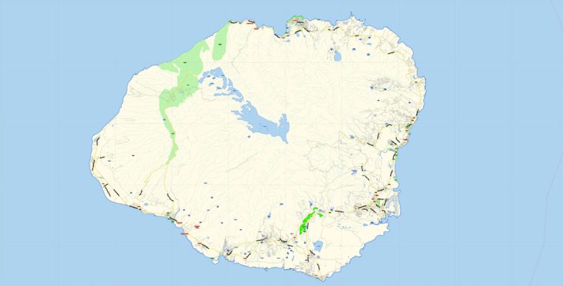
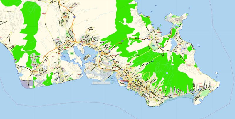
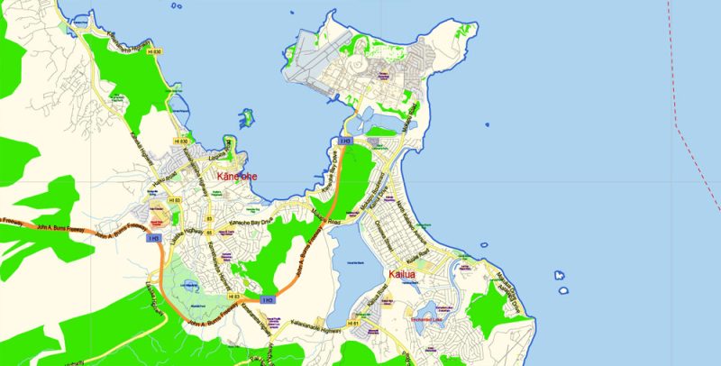
Hawaii Islands Vector Map detailed Plan scale 1:70302 full editable Adobe Illustrator Street Map in layers
Hawaii Islands Vector Map detailed Plan scale 1:70302 full editable Adobe Illustrator Street Map in layers
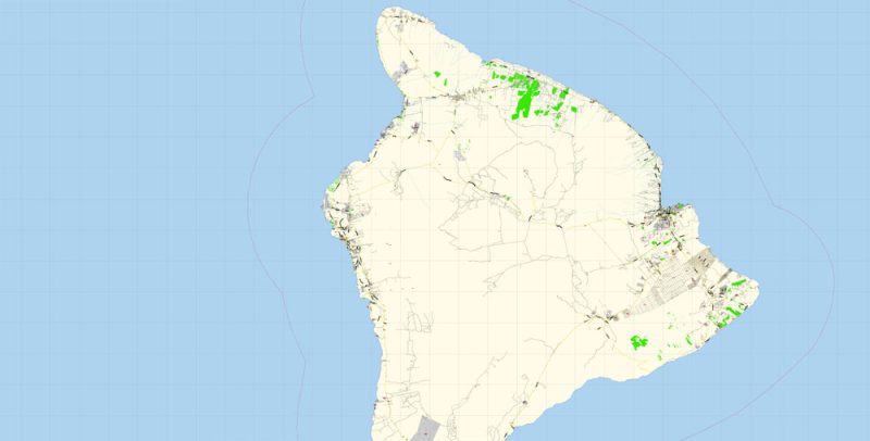
Hawaii Islands Vector Map detailed Plan scale 1:70302 full editable Adobe Illustrator Street Map in layers
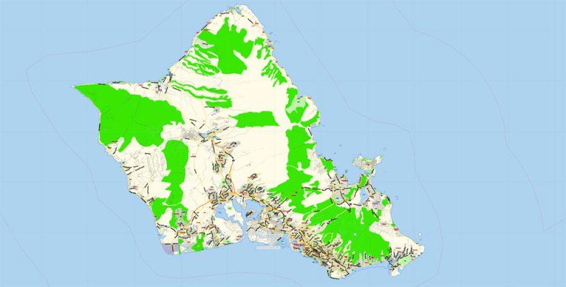
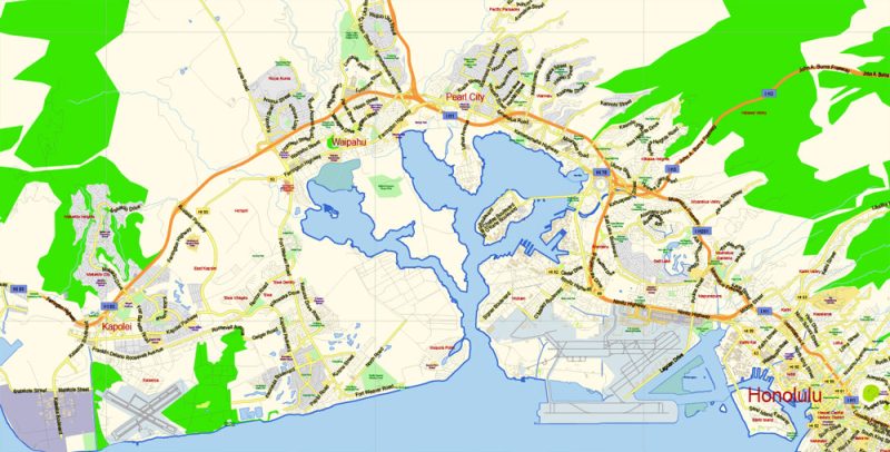
Hawaii Islands Vector Map detailed Plan scale 1:70302 full editable Adobe Illustrator Street Map in layers
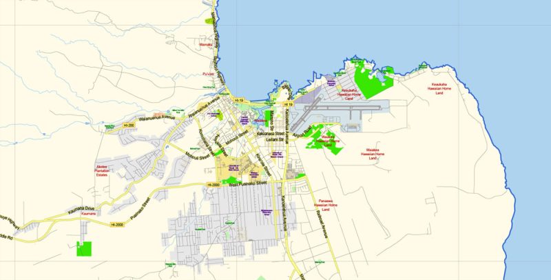
Hawaii Islands Vector Map detailed Plan scale 1:70302 full editable Adobe Illustrator Street Map in layers
Hawaii Islands Vector Map detailed Plan scale 1:70302 full editable Adobe Illustrator Street Map in layers
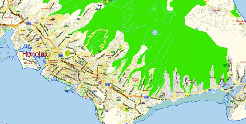
Hawaii Islands Vector Map detailed Plan scale 1:70302 full editable Adobe Illustrator Street Map in layers
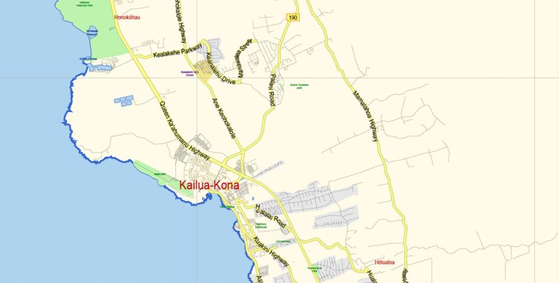
Hawaii Islands Vector Map detailed Plan scale 1:70302 full editable Adobe Illustrator Street Map in layers
Hawaii Islands Vector Map detailed Plan scale 1:70302 full editable Adobe Illustrator Street Map in layers
Hawaii Islands Vector Map detailed Plan scale 1:70302 full editable Adobe Illustrator Street Map in layers
Hawaii Islands Vector Map detailed Plan scale 1:70302 full editable Adobe Illustrator Street Map in layers
Hawaii Islands Vector Map detailed Plan scale 1:70302 full editable Adobe Illustrator Street Map in layers
Hawaii Islands Vector Map detailed Plan scale 1:70302 full editable Adobe Illustrator Street Map in layers
Hawaii Islands Vector Map detailed Plan scale 1:70302 full editable Adobe Illustrator Street Map in layers
Hawaii Islands Vector Map detailed Plan scale 1:70302 full editable Adobe Illustrator Street Map in layers


 Author: Kirill Shrayber, Ph.D. FRGS
 Street Map editable Adobe Illustrator in layers")

