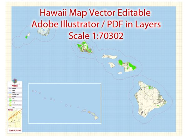
Hawaii is a group of islands in the central Pacific Ocean, and its principal waterways and main roads play a crucial role in connecting different parts of the islands.
Principal Waterways:
- Pacific Ocean: Surrounding all the Hawaiian Islands, the Pacific Ocean serves as the primary waterway for transportation, trade, and recreational activities.
- Hilo Bay and Honolulu Harbor: These are two major natural harbors—one on the Big Island (Hilo Bay) and the other on Oahu (Honolulu Harbor). They have historically been important for shipping and trade.
- Kaiwi Channel: This channel separates the islands of Oahu and Molokai and is known for its strong currents. It is a popular route for ocean races and water sports events.
- Alenuihaha Channel: This channel lies between the islands of Maui and the Big Island. It is known for its rough seas and strong currents.
- Auau Channel: Situated between the islands of Maui and Lanai, this channel is known for its clear waters and is frequented by boaters and marine enthusiasts.
Main Roads:
- Hawaii Belt Road (Route 11, 19, and 190): This road encircles the Big Island, connecting major cities and attractions such as Hilo and Kailua-Kona.
- H-1, H-2, and H-3: These are major interstate highways on the island of Oahu. H-1 runs east to west, connecting Honolulu with the western part of the island. H-2 connects Honolulu with the central and northern parts of Oahu, while H-3 connects Honolulu with the windward side of the island.
- Piilani Highway (Route 31): This highway runs along the southeastern coast of Maui, offering scenic views of the ocean and connecting towns like Kihei and Wailea.
- Kuhio Highway (Route 56): Located on Kauai, this highway runs along the northern coast of the island, passing through towns such as Princeville and Hanalei.
- Queen Kaahumanu Highway (Route 19): Running along the west coast of the Big Island, this highway connects Kailua-Kona with Hilo, passing through diverse landscapes.
- Lunalilo Freeway (Route 83): Encircling the island of Molokai, this route provides access to various parts of the island, including Kaunakakai and the Molokai Airport.
It’s important to note that road and infrastructure names may have changed. For the most current and detailed information, it’s recommended to check with local authorities or navigation services.


 Author: Kirill Shrayber, Ph.D.