Extended Description of the Vector Map
Printable PDF Vector Map of Flagstaff Arizona USA High detailed street map scale 1:3839 fully editable Layered Adobe PDF, scalable, text format all names, 12 MB ZIP
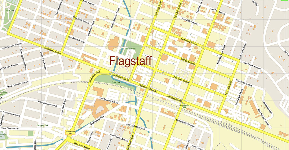
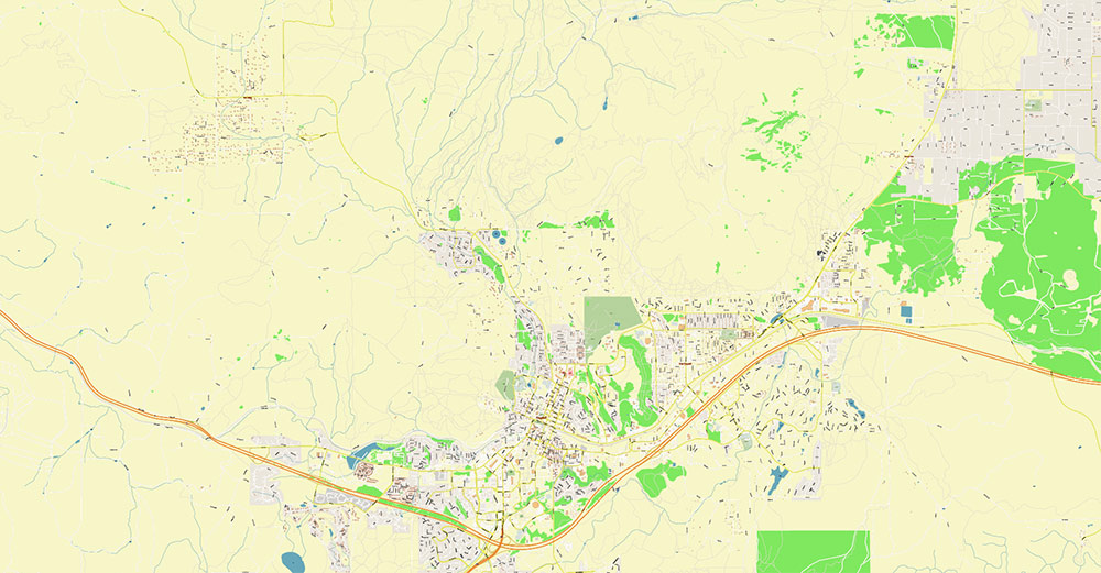
All street names, Main Objects, Buildings. Map for design, printing, arts, projects, presentations, for architects, designers, and builders, business, logistics.
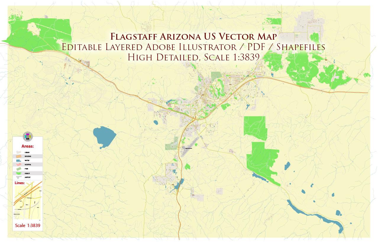
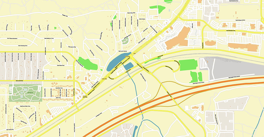
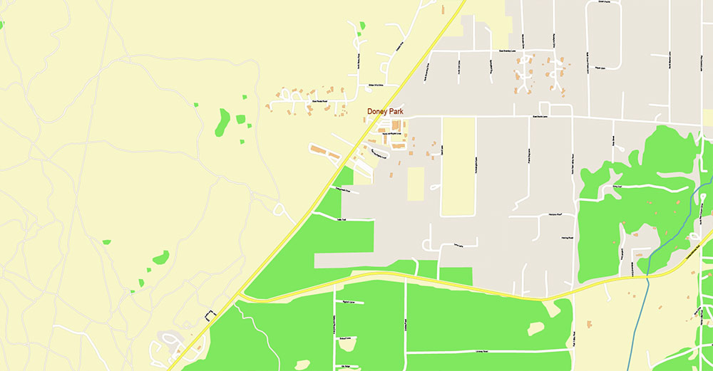
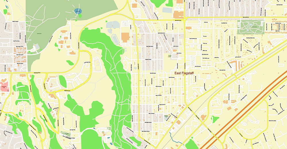
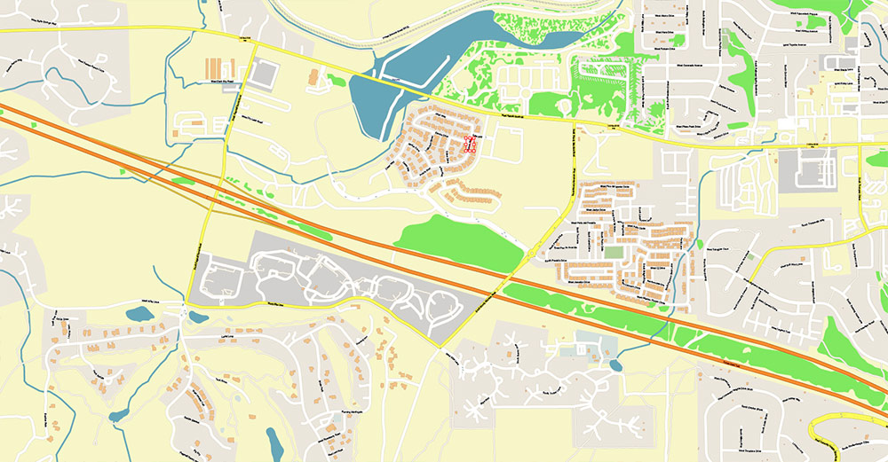
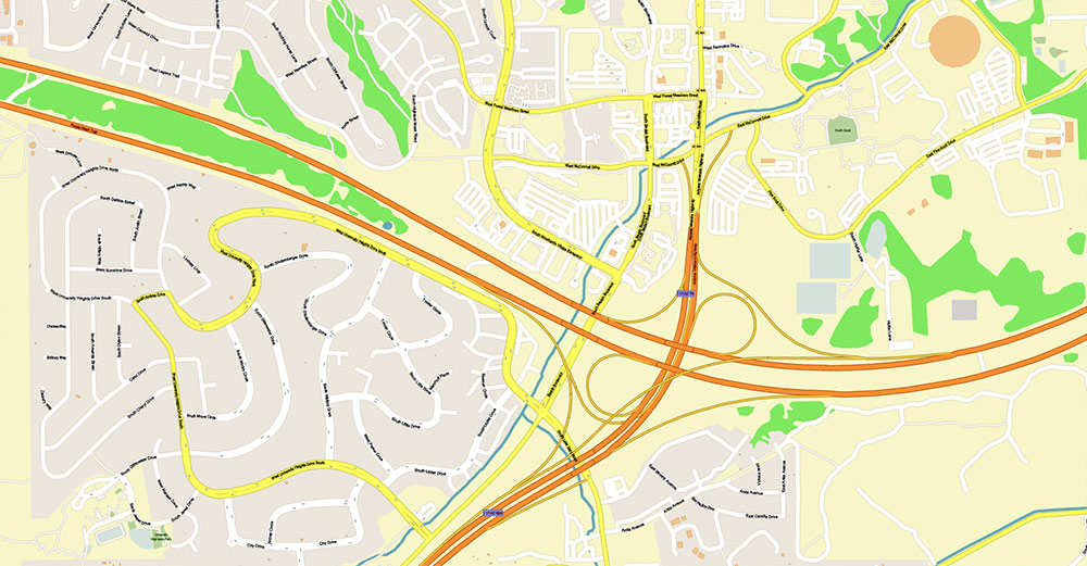
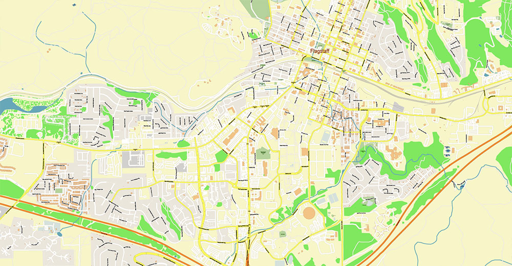
Flagstaff Arizona US PDF Map Vector Exact City Plan detailed Street Map editable layered Adobe PDF
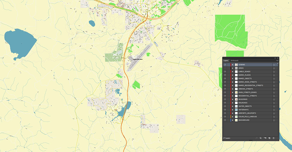
Layers list:
- Legend
- Names of places (city, hamlet, etc.)
- Names of objects (parks, hospital, water)
- Names of main streets
- Names of residential streets
- Main Streets, roads
- Residential streets
- Railroads
- Buildings
- Water objects (rivers, lakes, ponds)
- Waterways
- Color fills (parks, land use, etc.)
- Background
The most exact and detailed map of the Flagstaff Arizona USA in scale.
For Editing and High-Quality Printing
Flagstaff Arizona US PDF Map Vector Exact City Plan detailed Street Map editable layered Adobe PDF
FLAGSTAFF, ARIZONA — STATISTICAL / DATA AO BRIEF
1) Location & Coordinates
-
Country: United States
-
State: Arizona
-
Region: Northern Arizona, Colorado Plateau margin
-
Approx. Coordinates: 35.20° N, 111.65° W
-
Time Zone: Mountain Standard Time (no daylight saving shift at state level)
2) Elevation & Relief Metrics
| Parameter |
Value |
| Mean city elevation |
~2,100 m (≈6,900 ft) |
| Elevation range in urban area |
~2,050–2,250 m |
| Highest nearby peak (San Francisco Peaks massif) |
~3,850 m (≈12,600 ft) |
| Relief contrast city ↔ peaks |
~1,700 m vertical difference |
Interpretation: One of the highest mid-sized cities in the U.S.; strong altitude gradient nearby.
3) Area & Urban Footprint
| Parameter |
Value |
| City land area |
~165 km² (≈64 sq mi) |
| Urbanized footprint |
Compact core + forest interface |
| Development pattern |
Clustered around highways and campus |
4) Population & Demography
| Indicator |
Approx. Value |
| Permanent population |
~75,000–80,000 |
| Metro/functional area influence |
>100,000 incl. surrounding communities |
| University students (NAU) |
~25,000+ |
| Population density (city average) |
~450–500 people/km² |
| Seasonal fluctuation |
+10–30% during peak tourism/student periods |
Population structure: Large student cohort + service/tourism workforce.
5) Climate Data (High-Altitude Mountain Regime)
| Variable |
Value |
| Mean annual temperature |
~7–8°C (45–47°F) |
| January avg |
−1 to 2°C |
| July avg |
18–20°C |
| Annual snowfall |
~250–300 cm (100–120 in) |
| Annual precipitation |
~500–550 mm |
| Monsoon season |
July–September |
| Frost days/year |
~120+ |
Climatic anomaly: Cooler and wetter than most of Arizona due to elevation.
6) Transportation Network — Quantitative
| Feature |
Data |
| Interstate |
I-40 (major transcontinental route) |
| U.S. Highways |
US-89, US-180 |
| State Routes |
SR-66 and local connectors |
| Rail |
Transcontinental freight corridor (E–W) |
| Airport |
Regional airport, commercial + GA traffic |
| Distance to Grand Canyon South Rim |
~130 km (80 mi) |
| Distance to Phoenix |
~230 km (145 mi) |
Function: Major logistics node relative to regional population size.
7) Land Cover & Environment
| Category |
Share (approx.) |
| Forest (ponderosa pine dominant) |
>50% surrounding landscape |
| Urban/built |
<10% of city territory |
| Volcanic terrain |
Extensive cinder cone field |
| Protected lands nearby |
Large national forest areas |
8) Economic Indicators (Structure-Oriented)
| Sector |
Relative Weight |
| Tourism & hospitality |
Major |
| Education (NAU) |
Major institutional employer |
| Healthcare & regional services |
Significant |
| Retail/logistics (I-40 corridor) |
Important |
| Manufacturing |
Minor |
9) Mobility & Risk Factors (Quantifiable)
| Factor |
Data/Impact |
| Snow events per winter |
Multiple significant events |
| Road closure risk |
Moderate–high in winter |
| Wildfire season |
Late spring–summer |
| Elevation effect |
Reduced oxygen (~20% thinner air vs sea level) |
10) Landmark Metrics
| Feature |
Data |
| Arizona Snowbowl elevation |
~2,800–3,500 m |
| Lowell Observatory altitude |
~2,200 m |
| Distance to Lake Powell/Page |
~215 km |
11) Spatial Summary (Data Interpretation)
Flagstaff is statistically defined by:
-
High altitude (>2 km)
-
Moderate population (<100k)
-
Heavy transportation density relative to size
-
High snowfall for Arizona
-
Large institutional (university) presence
-
Forest-dominated environment uncommon in the state
In pure data terms, Flagstaff behaves less like a desert city and more like a small Rocky Mountain logistics–education hub embedded in the Southwest.
Flagstaff Arizona US PDF Map Vector Exact City Plan detailed Street Map editable layered Adobe PDF
Flagstaff Arizona US PDF Map Vector Exact City Plan detailed Street Map editable layered Adobe PDF
Flagstaff Arizona US PDF Map Vector Exact City Plan detailed Street Map editable layered Adobe PDF
Flagstaff Arizona US PDF Map Vector Exact City Plan detailed Street Map editable layered Adobe PDF
Flagstaff Arizona US PDF Map Vector Exact City Plan detailed Street Map editable layered Adobe PDF
Flagstaff Arizona US PDF Map Vector Exact City Plan detailed Street Map editable layered Adobe PDF
Flagstaff Arizona US PDF Map Vector Exact City Plan detailed Street Map editable layered Adobe PDF
Flagstaff Arizona US PDF Map Vector Exact City Plan detailed Street Map editable layered Adobe PDF

 Author: Kirill Shrayber, Ph.D. FRGS

