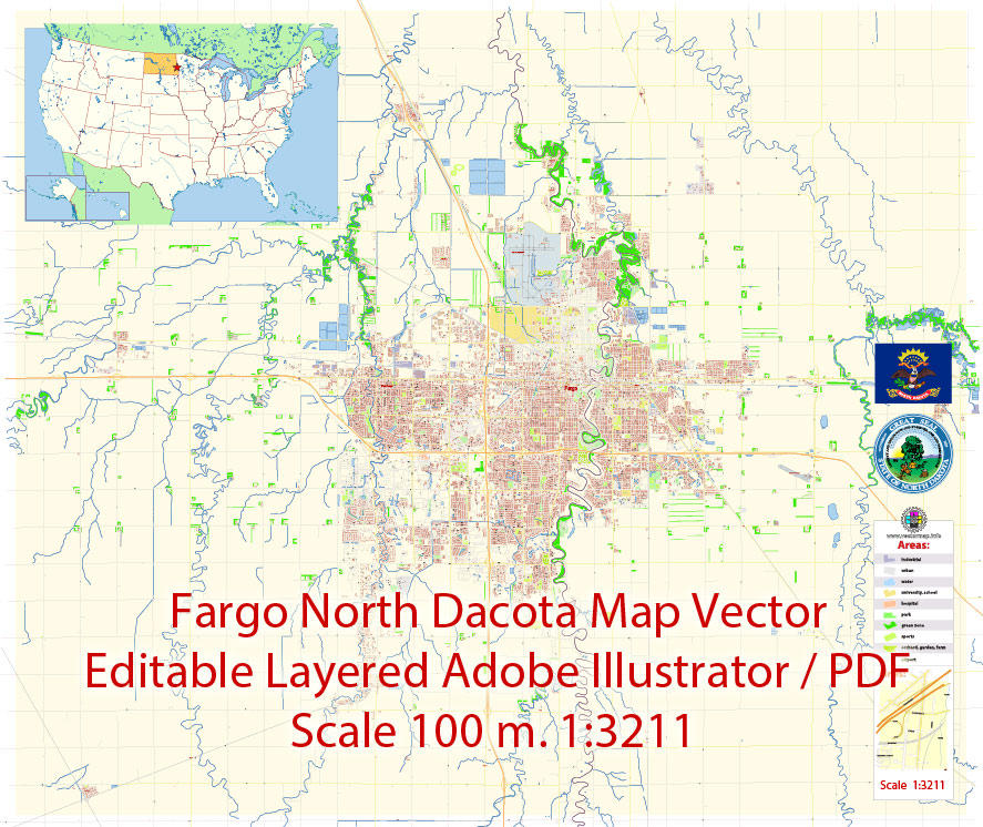
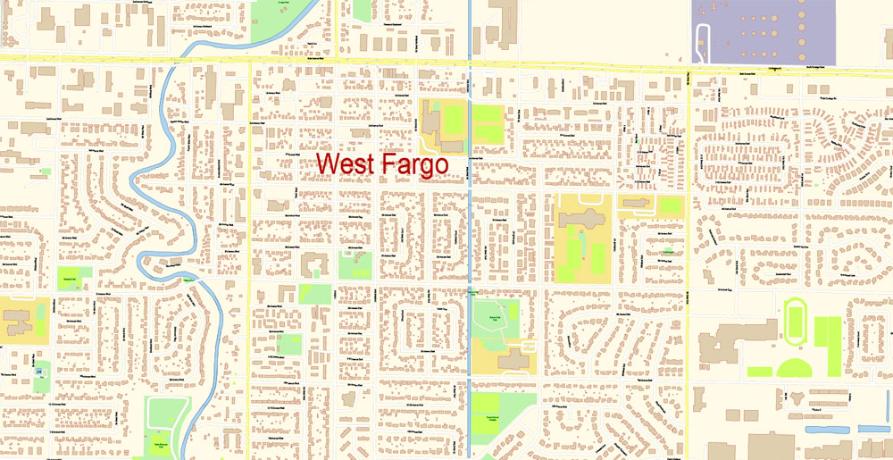
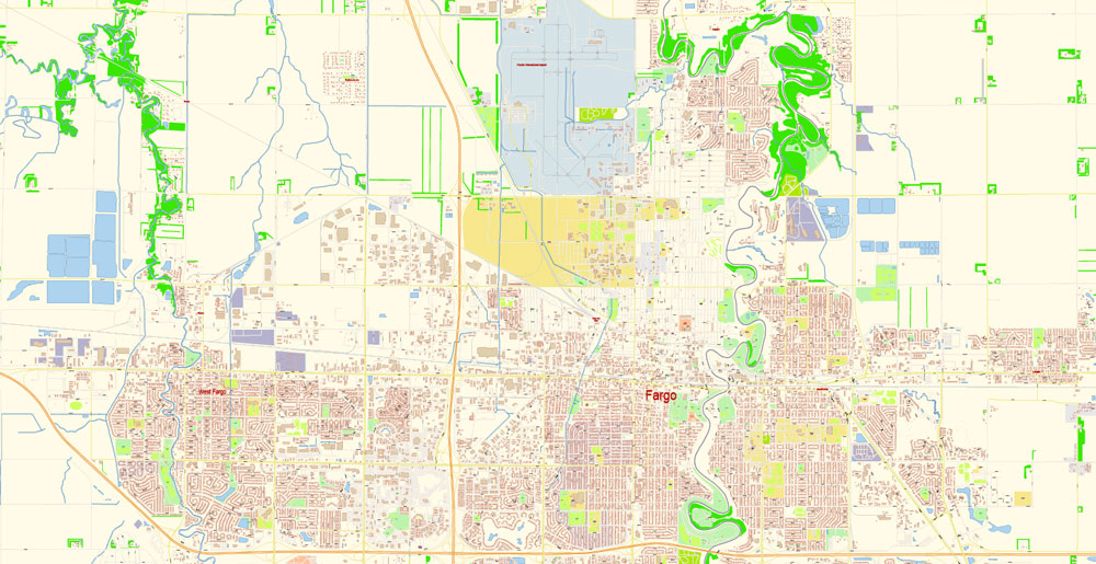
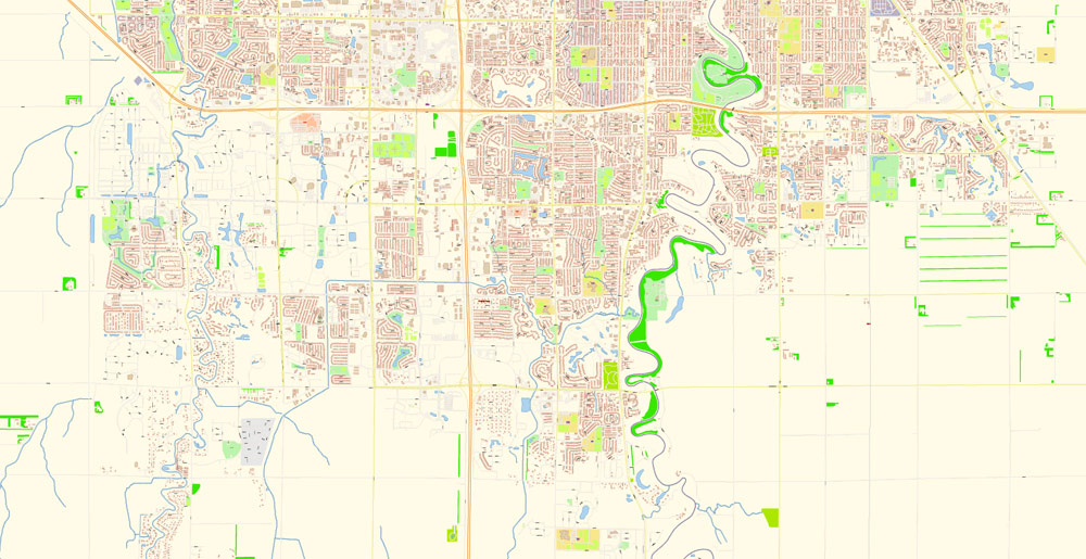
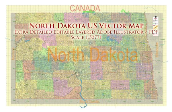
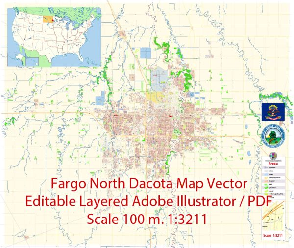
Fargo North Dakota US Map Vector Exact City Plan detailed Street Map editable Adobe Illustrator in layers

  1. Home
  2. North America maps
  3. United States vector maps cities, states and country: PDF and Adobe Illustrator
  4. Fargo North Dakota US Map Vector Exact City Plan detailed Street Map editable Adobe Illustrator in layers

WhatsApp us! If you have any questions, please, feel free to contact us via WhatsApp +1.829.4100078

We accept PayPal and all  Debit or Credit Cards | Instantly Download Your Map after payment.
Verified Seller 10+ years.

$ 39.00

Printable Vector Map of Fargo North Dakota US detailed City Plan scale 100 m 1:3211 full editable Adobe Illustrator Street Map in layers, scalable, text format  all names, 12 MB ZIP
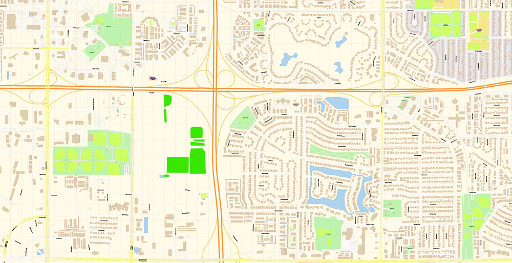
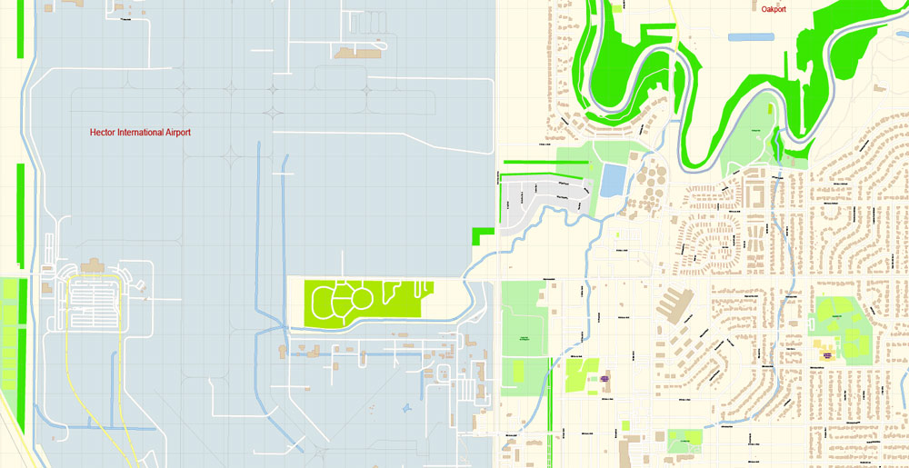
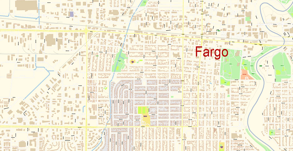
All street names, Main Objects, Principal Buildings. Map for design, printing, arts, projects, presentations, for architects, designers, and builders, business, logistics.  
Layers: color_fills,  water, streets_roads, labels_roads, names_objects, names_streets, names_places, arrows_streets, buildings, grids, legend, etc.
The most exact and detailed map of the city in scale.
For Editing and High-Quality Printing 

SKU: 2019.24.04.FG.ND.GVL17B.AI
Share this map for your friends!

Taxonomy: Product Tags for this Vector Map

AutoCAD Map Fargo North Dakota US, City Map Fargo North Dakota US, City Plan Fargo North Dakota US, CorelDraw Map Fargo North Dakota US, DWG Map Fargo North Dakota US, DXF Map Fargo North Dakota US, Editable Map Fargo North Dakota US, Fargo North Dakota US City Vector Map: PDF and Adobe Illustrator, Fargo North Dakota US Map, Illustrator Map Fargo North Dakota US, Map Fargo North Dakota US for Printing, NORTH DAKOTA ND STATE: Vector Maps in PDF and Adobe Illustrator, PDF Map Fargo North Dakota US, printable map Fargo North Dakota US, Road Map Fargo North Dakota US, Street Map Fargo North Dakota US, Tourist Map Fargo North Dakota US, Urban Plan Fargo North Dakota US, Vector Map Fargo North Dakota US

Map Categories

North America maps, United States vector maps cities, states and country: PDF and Adobe Illustrator

Extended Description of the Vector Map

Printable Vector Map of Fargo North Dakota US detailed City Plan scale 100 m 1:3211 full editable Adobe Illustrator Street Map in layers, scalable, text format  all names, 12 MB ZIP
All street names, Main Objects, Principal Buildings. Map for design, printing, arts, projects, presentations, for architects, designers, and builders, business, logistics.  
Layers: color_fills,  water, streets_roads, labels_roads, names_objects, names_streets, names_places, arrows_streets, buildings, grids, legend, etc.
The most exact and detailed map of the city in scale.
For Editing and High-Quality Printing 

Fargo
City in North Dakota
Fargo is a city in North Dakota. The Plains Art Museum exhibits regional, contemporary and Native American works in a revamped old warehouse. Modern and vintage airplanes are on display at the Fargo Air Museum, spread over 2 hangars. The nearby Fargodome is an indoor stadium hosting college football games, concerts, and theatrical shows. Red River Zoo shelters cold climate species such as red pandas and gray wolves.
Elevation: 276 m
Population: 122,359
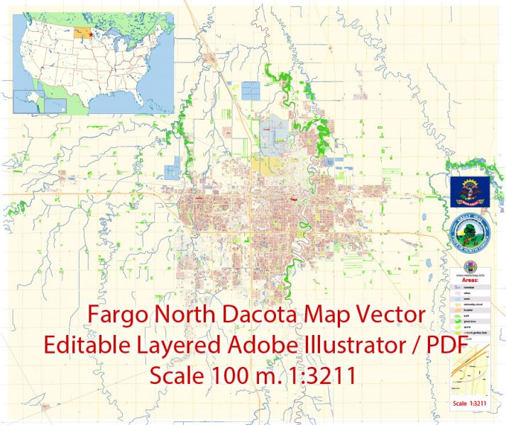
Fargo North Dakota Map Vector Exact City Plan detailed Street Map editable Adobe Illustrator in layers
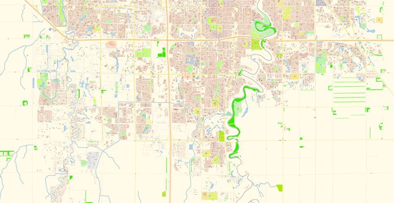
Fargo North Dakota Map Vector Exact City Plan detailed Street Map editable Adobe Illustrator in layers
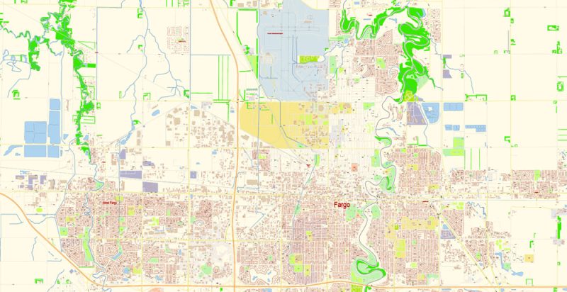
Fargo North Dakota Map Vector Exact City Plan detailed Street Map editable Adobe Illustrator in layers
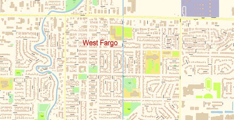
Fargo North Dakota Map Vector Exact City Plan detailed Street Map editable Adobe Illustrator in layers
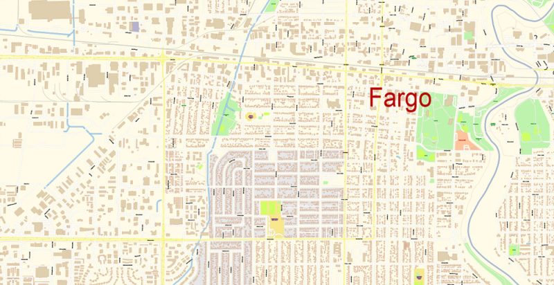
Fargo North Dakota Map Vector Exact City Plan detailed Street Map editable Adobe Illustrator in layers
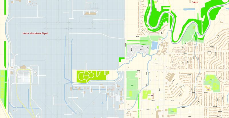
Fargo North Dakota Map Vector Exact City Plan detailed Street Map editable Adobe Illustrator in layers
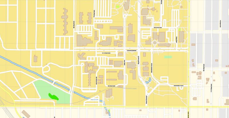
Fargo North Dakota Map Vector Exact City Plan detailed Street Map editable Adobe Illustrator in layers
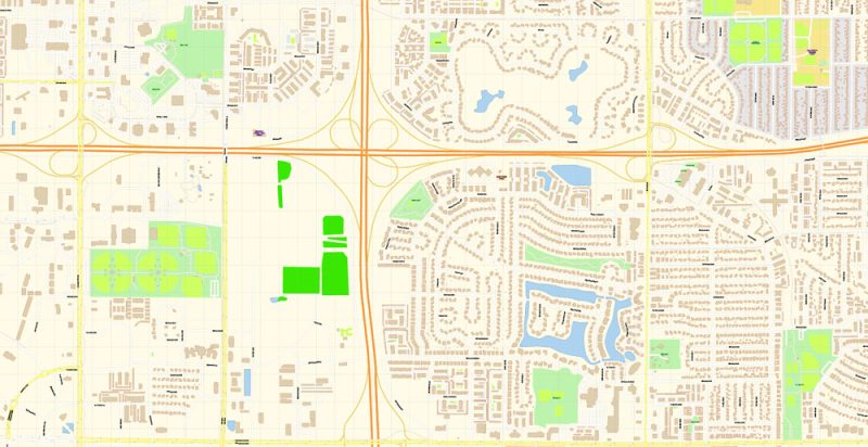
Fargo North Dakota Map Vector Exact City Plan detailed Street Map editable Adobe Illustrator in layers
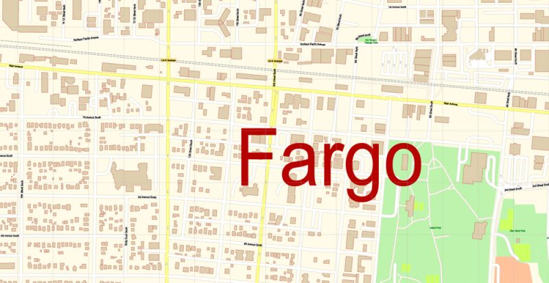
Fargo North Dakota Map Vector Exact City Plan detailed Street Map editable Adobe Illustrator in layers

Fargo North Dakota Map Vector Exact City Plan detailed Street Map editable Adobe Illustrator in layers

Fargo North Dakota Map Vector Exact City Plan detailed Street Map editable Adobe Illustrator in layers

Fargo North Dakota Map Vector Exact City Plan detailed Street Map editable Adobe Illustrator in layers

Fargo North Dakota Map Vector Exact City Plan detailed Street Map editable Adobe Illustrator in layers

Fargo North Dakota Map Vector Exact City Plan detailed Street Map editable Adobe Illustrator in layers

Fargo North Dakota Map Vector Exact City Plan detailed Street Map editable Adobe Illustrator in layers

Fargo North Dakota Map Vector Exact City Plan detailed Street Map editable Adobe Illustrator in layers

Fargo North Dakota Map Vector Exact City Plan detailed Street Map editable Adobe Illustrator in layers

Fargo North Dakota Map Vector Exact City Plan detailed Street Map editable Adobe Illustrator in layers

Author: Kirill Shrayber, Ph.D.

I have been working with vector cartography for over 25 years, including GPS, GIS, Adobe Illustrator and other professional cartographic software.
Linkedin: https://www.linkedin.com/in/kirill-shrayber-0b839325/
Twitter: https://twitter.com/vectormapper

See more maps of this city / area / state / country

Menu