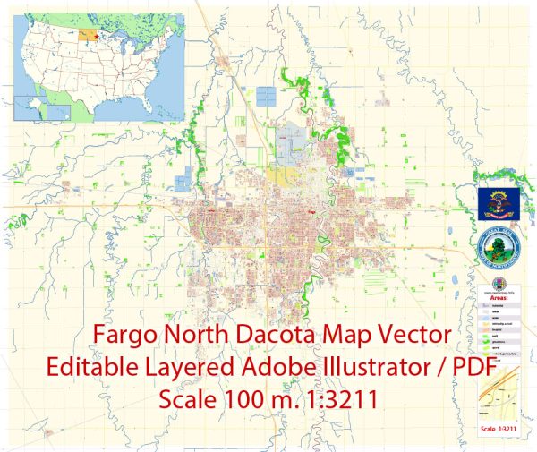
Fargo, North Dakota, is a city located in the eastern part of the state.
Vectormap.Net provide you with the most accurate and up-to-date vector maps in Adobe Illustrator, PDF and other formats, designed for editing and printing. Please read the vector map descriptions carefully.
Here’s a detailed overview of the history and transportation infrastructure of Fargo:
History:
- Early Settlement: Fargo was founded in 1871 and initially served as a stopping point for steamboats traveling along the Red River. The Northern Pacific Railway played a significant role in the city’s growth, bringing settlers, businesses, and trade to the area.
- Name Origin: The city was named after William G. Fargo, a director of the Northern Pacific Railway and co-founder of Wells Fargo Express Company.
- Agriculture and Growth: Fargo’s early economy was closely tied to agriculture, with the fertile Red River Valley supporting the growth of wheat and other crops. The city became a major trading and transportation hub for the surrounding agricultural communities.
- Floods: Fargo has faced several floods throughout its history due to its proximity to the Red River. Notably, there have been significant flood events in 1897, 1950, 1997, and more recently in 2009. Efforts have been made to implement flood control measures to protect the city.
Transportation Infrastructure:
- Railroads: The arrival of the Northern Pacific Railway in the late 19th century played a crucial role in Fargo’s development. Today, railroads continue to be important for transporting goods and commodities.
- Interstate Highways: Fargo is well-connected by several major highways, including Interstate 29 and Interstate 94. These highways facilitate transportation between Fargo and other major cities in the region.
- Hector International Airport: Located in Fargo, Hector International Airport serves as the region’s major air transportation hub. It provides domestic flights to various destinations, contributing to the city’s connectivity.
- Public Transit: Fargo has a public transit system known as MATBUS, which operates bus services within the city and the surrounding metropolitan area. This system plays a crucial role in meeting the transportation needs of residents.
- Bridges: Due to its location along the Red River, Fargo has several bridges that connect it with Moorhead, Minnesota. These bridges are essential for daily commuting and regional transportation.
- Expansion and Modernization: Over the years, Fargo has seen continuous efforts to expand and modernize its transportation infrastructure to accommodate the growing population and economic activities.


 Author: Kirill Shrayber, Ph.D.