Extended Description of the Vector Map
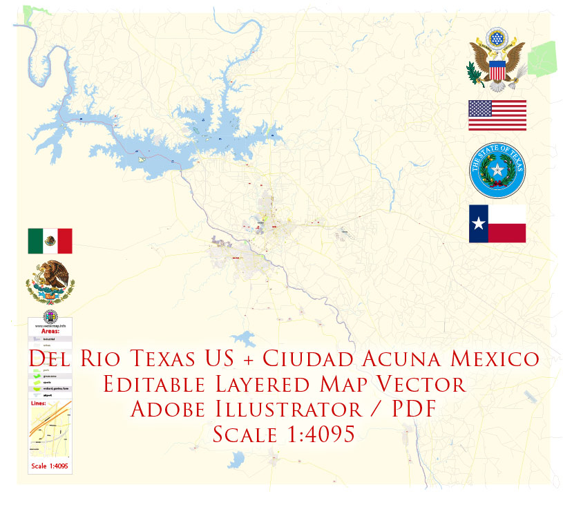
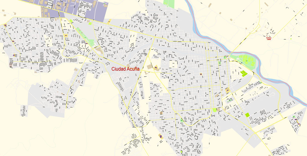
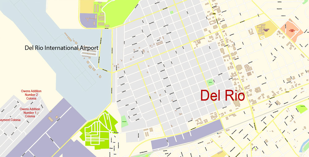
Printable PDF Vector Map of Del Rio Texas US + Ciudad Acuña Mexico detailed City Plan scale 100 m 1:4095 full editable Adobe PDF Street Map in layers, scalable, text format all names, 8 MB ZIP
All street names, Main Objects, Buildings. Map for design, printing, arts, projects, presentations, for architects, designers, and builders, business, logistics.
Layers: color_fills, water, streets_roads, labels_roads, names_objects, names_streets, names_places, arrows_streets, buildings, legend, etc.
The most exact and detailed map of the city in scale.
For Editing and High-Quality Printing
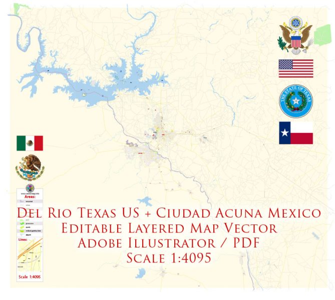
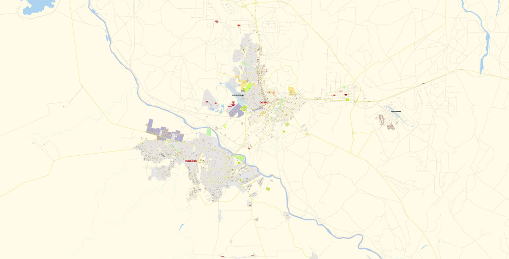
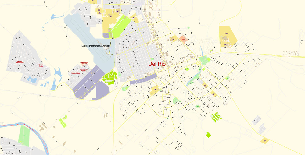
Del Rio Texas US + Ciudad Acuña Mexico PDF Map Vector Exact City Plan detailed Street Map editable Adobe PDF in layers.
Del Rio is a city in and the county seat of Val Verde County, Texas. It is 152 miles west of San Antonio. As of 2015, the city had a population of 40,549. Del Rio is connected to Ciudad Acuña by the Lake Amistad Dam International Crossing and Del Río – Ciudad Acuña International Bridge. It is also home to Laughlin Air Force Base, the busiest pilot training base in the United States Air Force.
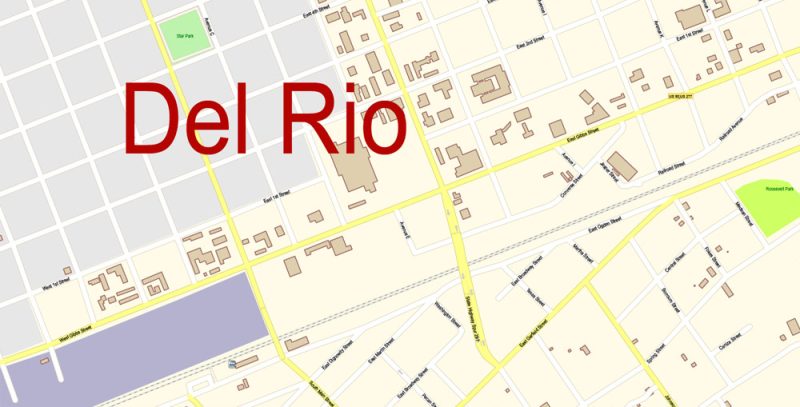
Del Rio Texas US + Ciudad Acuña Mexico PDF Map Vector Exact City Plan detailed Street Map editable Adobe PDF in layers.
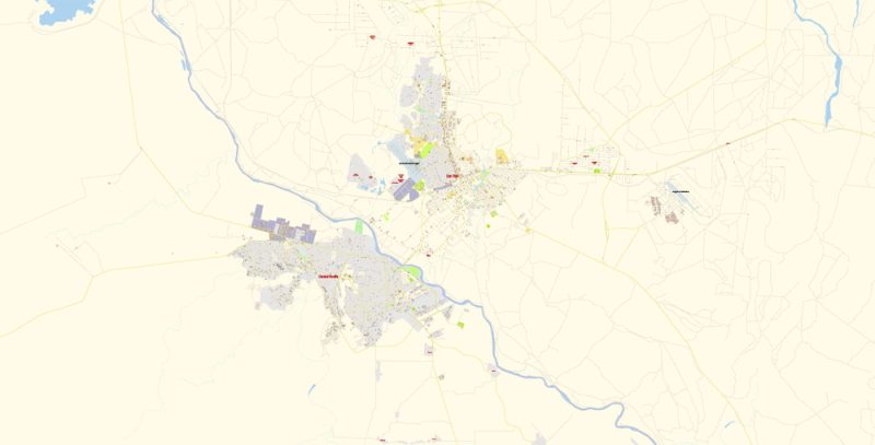
Del Rio Texas US + Ciudad Acuña Mexico PDF Map Vector Exact City Plan detailed Street Map editable Adobe PDF in layers.
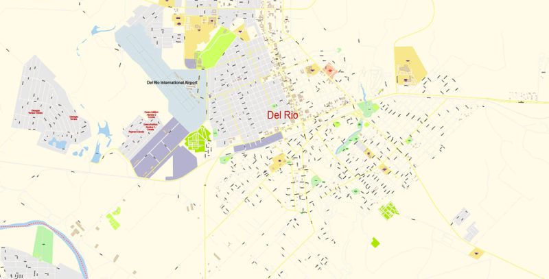
Del Rio Texas US + Ciudad Acuña Mexico PDF Map Vector Exact City Plan detailed Street Map editable Adobe PDF in layers.
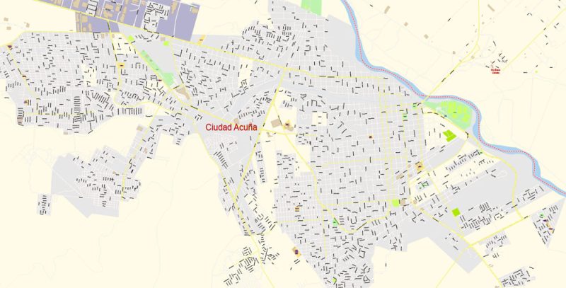
Del Rio Texas US + Ciudad Acuña Mexico PDF Map Vector Exact City Plan detailed Street Map editable Adobe PDF in layers.
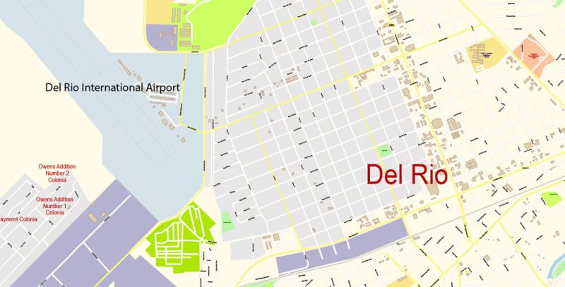
Del Rio Texas US + Ciudad Acuña Mexico PDF Map Vector Exact City Plan detailed Street Map editable Adobe PDF in layers.
Author Rating
Aggregate Rating
no rating based on 0 votes
@vectormapper
Product Name Del Rio Texas US + Ciudad Acuña Mexico PDF Map Vector Exact City Plan detailed Street Map editable Adobe PDF in layers.
Price
USD 37
Product Availability
Available in Stock




 Author: Kirill Shrayber, Ph.D. FRGS