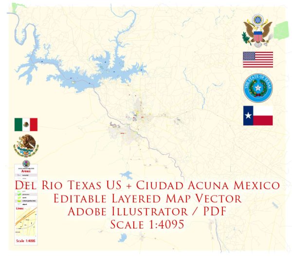
Del Rio, Texas, and Ciudad Acuña, Mexico, are neighboring cities situated on opposite sides of the Rio Grande River. Both cities share water resources from the Rio Grande and have several bridges connecting them. These bridges play a crucial role in facilitating trade, tourism, and daily commuting between the two cities. As of my last knowledge update in September 2021, here are some key points about water resources and bridges in this area:
Water Resources:
- Rio Grande River: The Rio Grande River serves as the primary water resource in the region, providing water for both Del Rio, Texas, and Ciudad Acuña, Mexico. The river plays a vital role in the ecosystems of both cities.
- Water Management: Water management and allocation from the Rio Grande are governed by international agreements between the United States and Mexico, including the 1944 Water Treaty, which helps regulate water distribution in the region. Various agencies on both sides work together to manage and allocate water resources.
- Irrigation: Water from the Rio Grande is essential for agricultural purposes in both cities and the surrounding areas. Irrigation is a significant use of water resources in this region.
Bridges:
- International Bridges: There are several international bridges connecting Del Rio and Ciudad Acuña, facilitating cross-border trade, tourism, and everyday travel between the two cities. Some of the prominent international bridges include the Puente Internacional Amistad (International Friendship Bridge) and the Puente de la Concordia (Concordia Bridge).
- Trade and Tourism: These bridges are critical for trade and tourism, enabling goods and people to cross between the United States and Mexico. Thousands of vehicles and pedestrians use these bridges daily.
- Security and Border Control: Like all border crossings, these bridges have customs and immigration facilities to regulate the flow of people and goods between the two countries. Security measures are in place to ensure the safety and integrity of the border.
Please note that the specifics of water resources and bridge information may have evolved since my last update in September 2021. It’s advisable to consult the latest local authorities, agencies, or resources for the most current information on water resources and bridges in Del Rio, Texas, and Ciudad Acuña, Mexico.


 Author: Kirill Shrayber, Ph.D.