Extended Description of the Vector Map
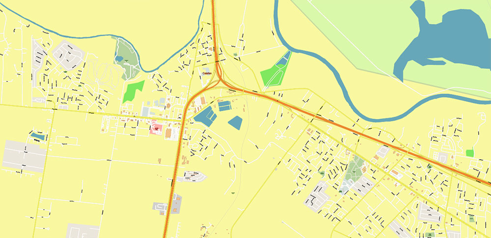
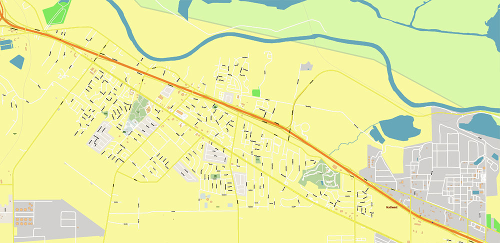
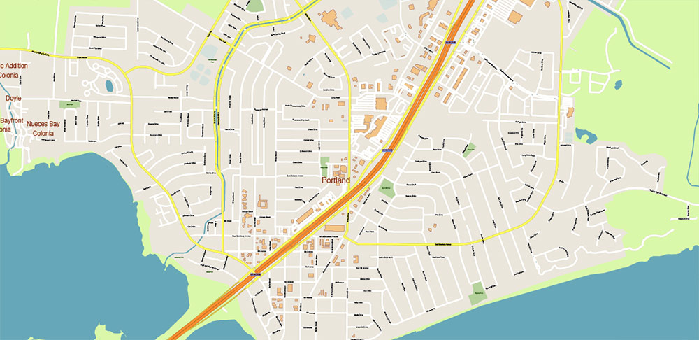
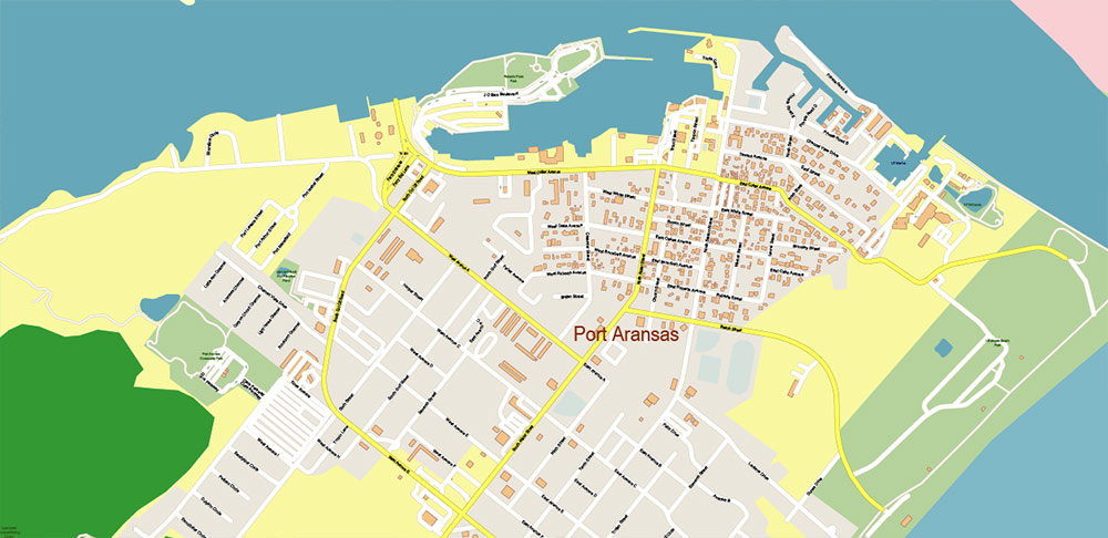
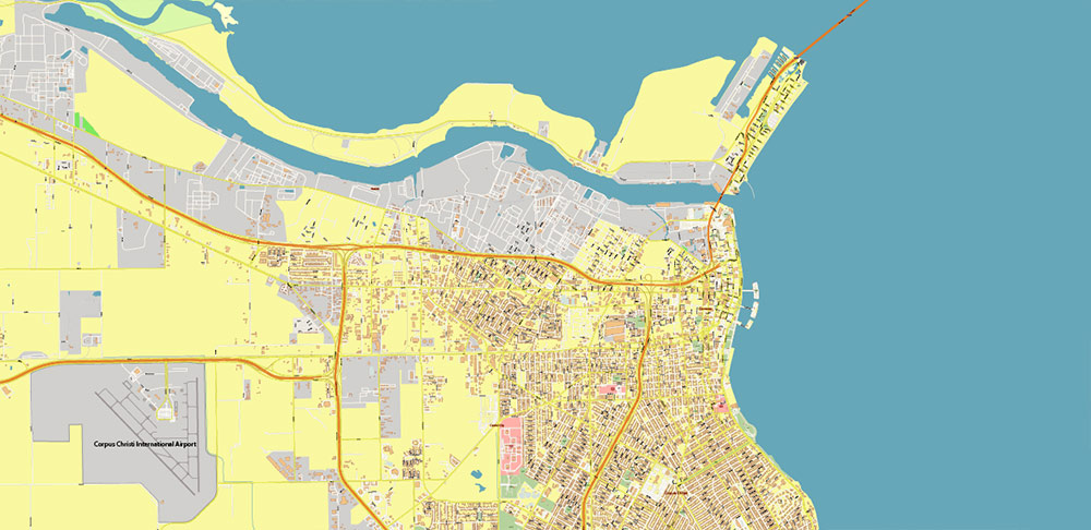
Printable PDF + AutoCAD Vector Map Corpus Christi Texas US, exact high detailed editable layered Adobe PDF and DWG + DXF in 1 arhive scalable, editable text/curves format all names, 194 MB ZIP
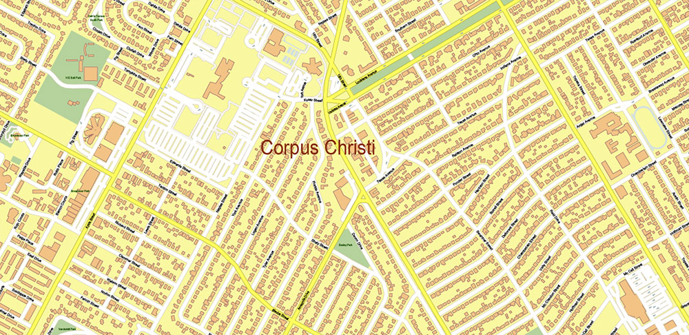
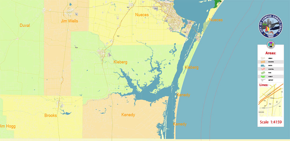
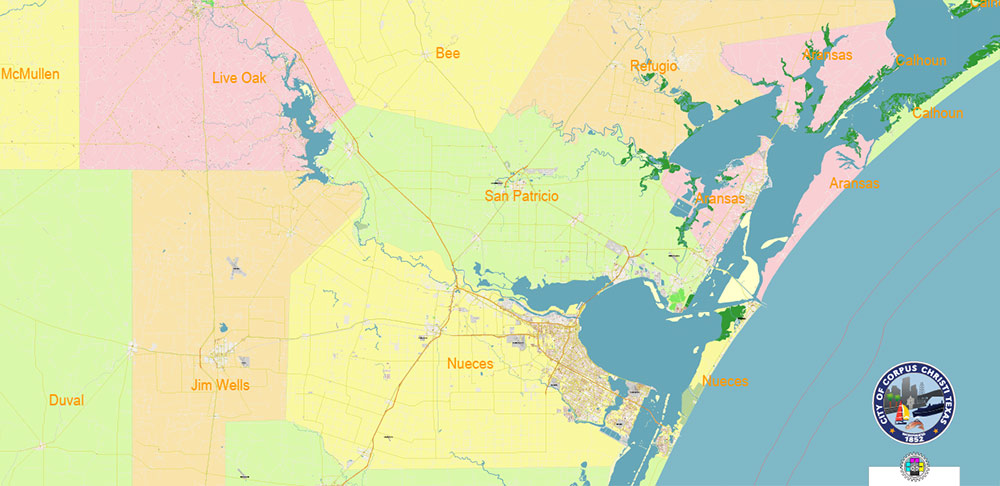
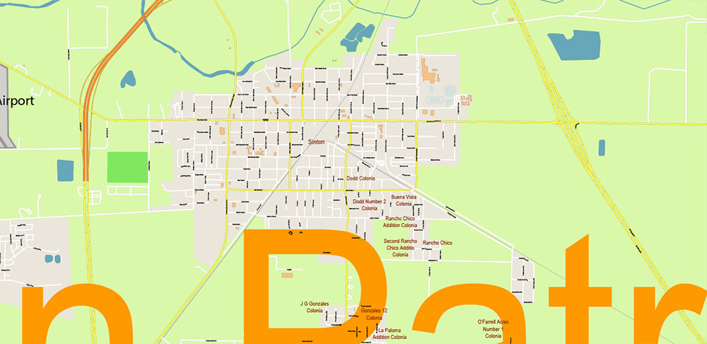
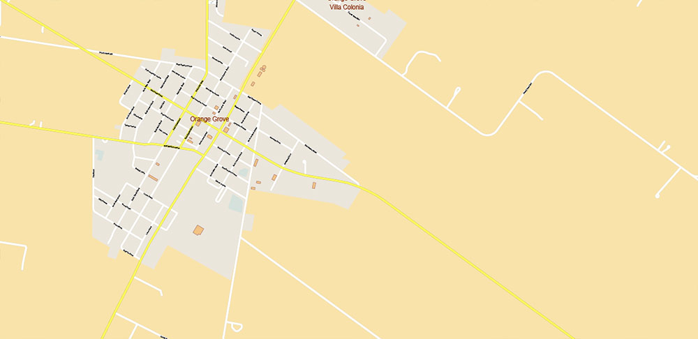
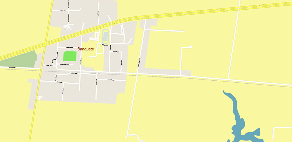
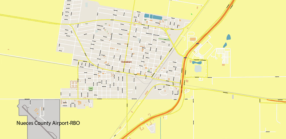
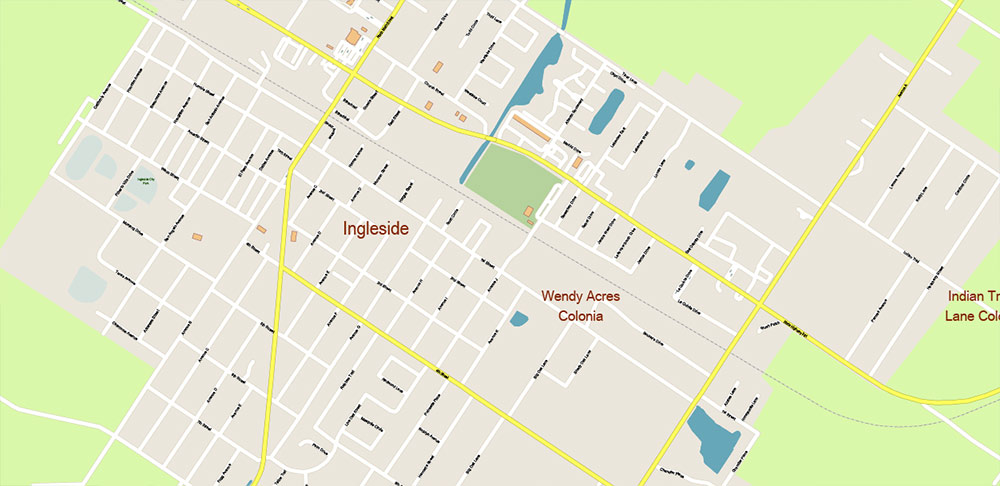
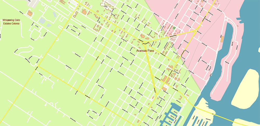
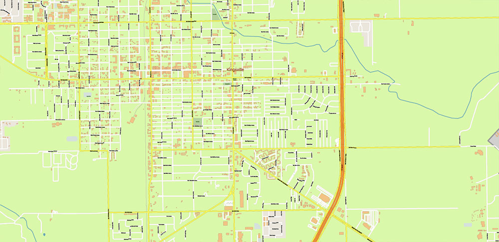
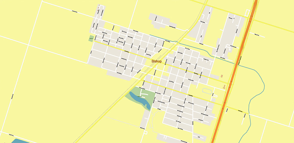
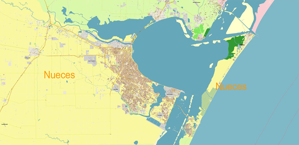
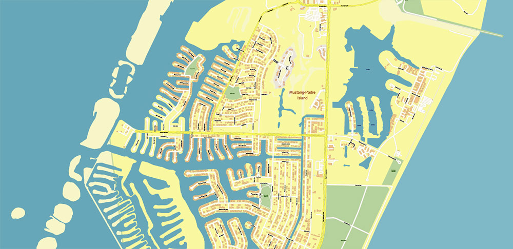
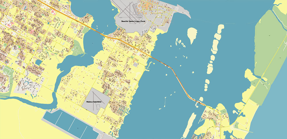
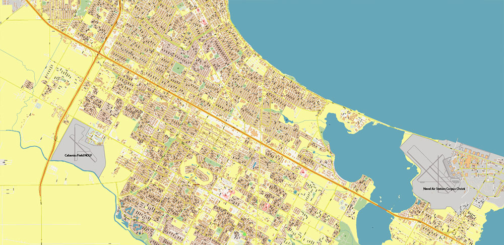
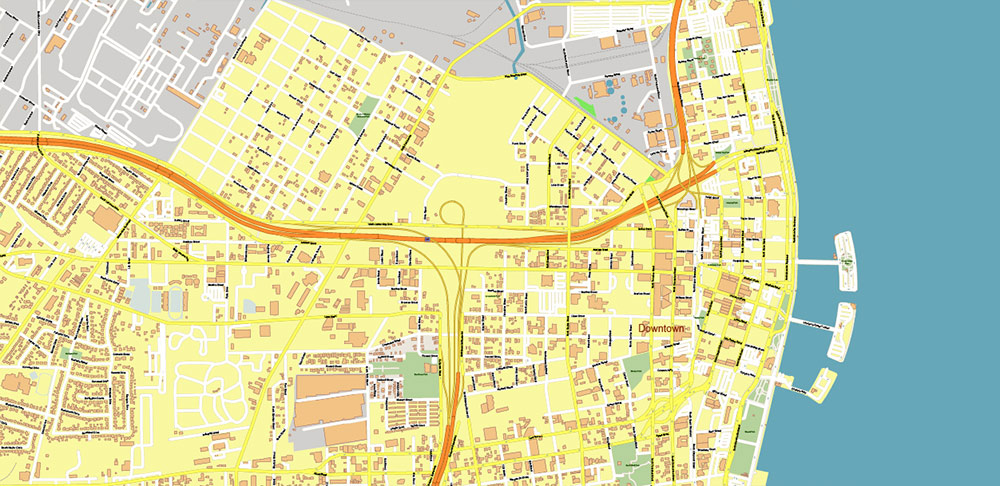
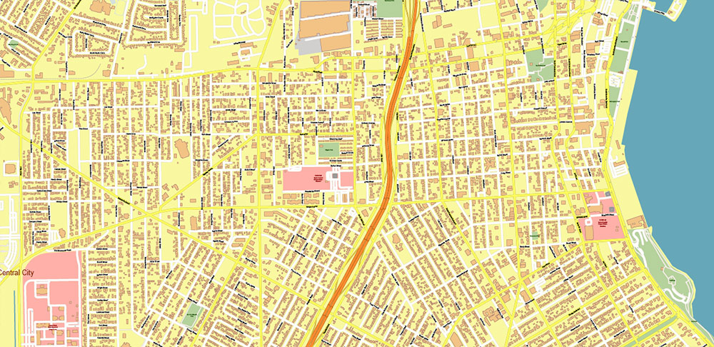
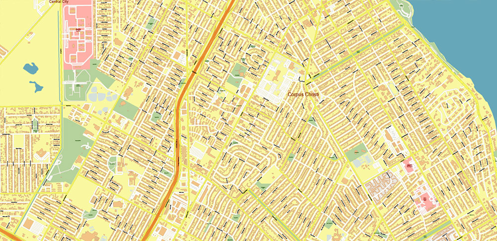
Names all streets, buildings, Scale 1:4169.
Map for design, printing, arts, projects, presentations, for architects, designers, and builders, business, logistics.
The most exact and detailed map of Corpus Christi Texas US + nearest counties
Map for editing and High-Quality Printing
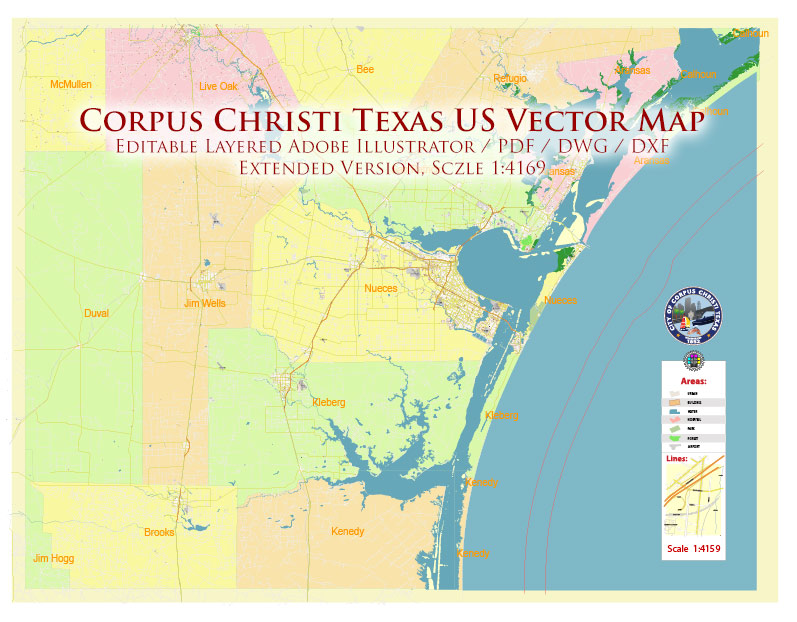
Corpus Christi Texas US PDF + DXF + DWG Vector Map high detailed editable Layered Adobe PDF and CAD DWG DXF in 1 archive
Layers list:
- Legend
- Grids
- Labels of Roads
- Names Main Streets
- Names residential streets
- Names Objects
- Names Places
- Names of Counties
- Arrows of the road directions
- Main Streets and Roads
- Residential roads and streets
- Buildings
- Railroads
- Airports and Heliports
- Landuse areas
- Water objects (areas)
- Waterways
- Sea polygons
- Background
- Counties areas polygon
https://vectormap.net/product-category/north_america_maps/usa_vector_maps/
https://vectormap.net/product-category/north_america_maps/usa_vector_maps/
https://vectormap.net/product-category/north_america_maps/usa_vector_maps/
https://vectormap.net/product-category/north_america_maps/usa_vector_maps/
https://vectormap.net/product-category/north_america_maps/usa_vector_maps/
https://vectormap.net/product-category/north_america_maps/usa_vector_maps/
https://vectormap.net/product-category/north_america_maps/usa_vector_maps/
https://vectormap.net/product-category/north_america_maps/usa_vector_maps/
https://vectormap.net/product-category/north_america_maps/usa_vector_maps/

https://vectormap.net/product-category/north_america_maps/usa_vector_maps/
https://vectormap.net/product-category/north_america_maps/usa_vector_maps/
https://vectormap.net/product-category/north_america_maps/usa_vector_maps/
https://vectormap.net/product-category/north_america_maps/usa_vector_maps/
https://vectormap.net/product-category/north_america_maps/usa_vector_maps/
https://vectormap.net/product-category/north_america_maps/usa_vector_maps/
https://vectormap.net/product-category/north_america_maps/usa_vector_maps/
https://vectormap.net/product-category/north_america_maps/usa_vector_maps/
https://vectormap.net/product-category/north_america_maps/usa_vector_maps/
https://vectormap.net/product-category/north_america_maps/usa_vector_maps/
https://vectormap.net/product-category/north_america_maps/usa_vector_maps/
https://vectormap.net/product-category/north_america_maps/usa_vector_maps/
https://vectormap.net/product-category/north_america_maps/usa_vector_maps/
https://vectormap.net/product-category/north_america_maps/usa_vector_maps/
https://vectormap.net/product-category/north_america_maps/usa_vector_maps/

 Author: Kirill Shrayber, Ph.D. FRGS

