Extended Description of the Vector Map
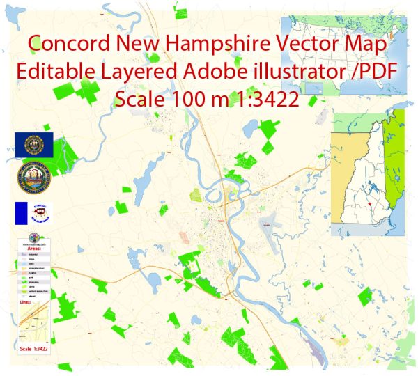
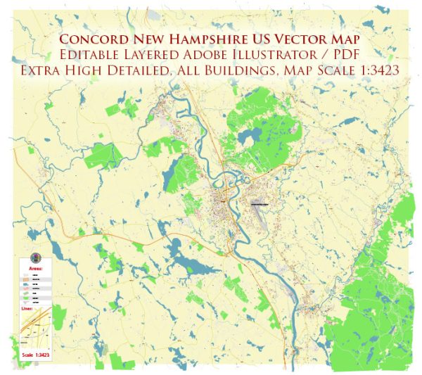
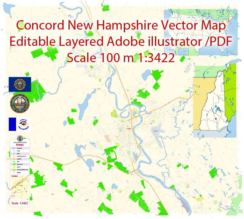
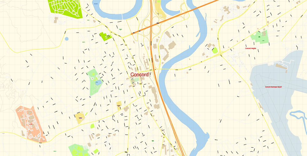
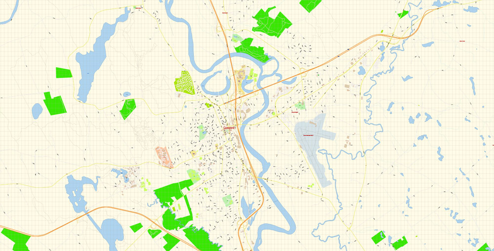
Printable Vector Map of Concord New Hampshire US detailed City Plan scale 100 m 1:3422 full editable Adobe Illustrator Street Map in layers, scalable, text format all names, 6 MB ZIP
All street names, Main Objects, Buildings. Map for design, printing, arts, projects, presentations, for architects, designers, and builders, business, logistics.
Layers: color_fills, water, streets_roads, labels_roads, names_objects, names_streets, names_places, arrows_streets, buildings, grids, legend, etc.
The most exact and detailed map of the city in scale.
For Editing and High-Quality Printing
Concord
City in New Hampshire
Concord is the capital city of New Hampshire. It’s home to the State House, a gold-domed building dating from 1819, with a visitor center and the Hall of Flags. Music, comedy, dance, and theater are staged at the Capitol Center for the Arts. The McAuliffe-Shepard Discovery Center is a science museum with interactive space-themed exhibits and a planetarium. The Susan N. McLane Audubon Center has trails and wildlife.
Elevation: 88 m
Area: 174.8 km²
Population: 43,019
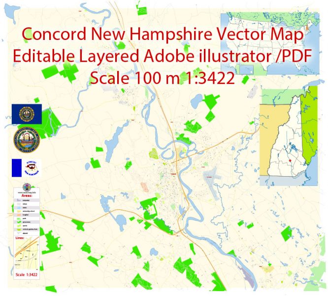
Concord New Hampshire Map Vector Exact City Plan detailed Street Map editable Adobe Illustrator in layers
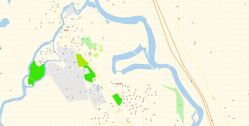
Concord New Hampshire Map Vector Exact City Plan detailed Street Map editable Adobe Illustrator in layers
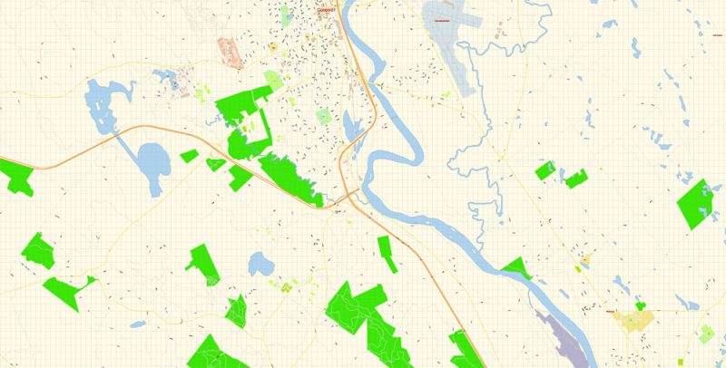
Concord New Hampshire Map Vector Exact City Plan detailed Street Map editable Adobe Illustrator in layers
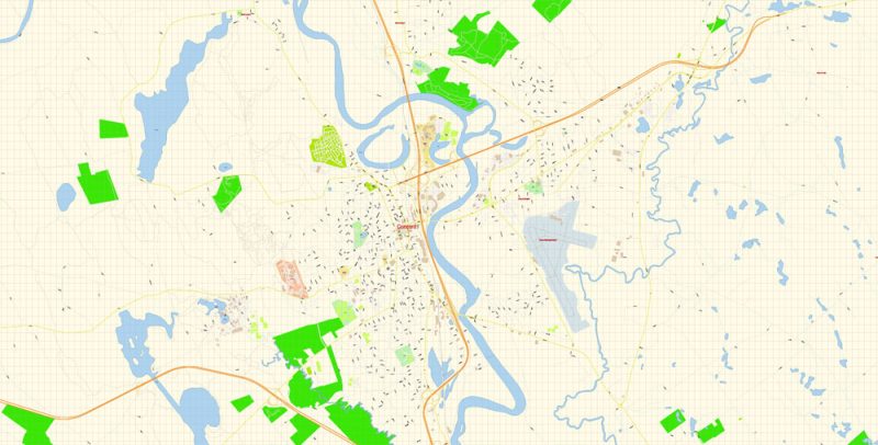
Concord New Hampshire Map Vector Exact City Plan detailed Street Map editable Adobe Illustrator in layers
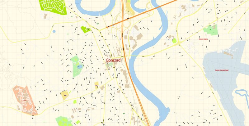
Concord New Hampshire Map Vector Exact City Plan detailed Street Map editable Adobe Illustrator in layers
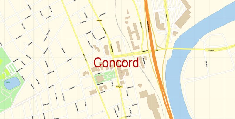
Concord New Hampshire Map Vector Exact City Plan detailed Street Map editable Adobe Illustrator in layers
Author Rating
Aggregate Rating
5 based on 1 votes
@vectormapper
Product Name Concord New Hampshire Map Vector Exact City Plan detailed Street Map editable Adobe Illustrator in layers
Price
USD 29
Product Availability
Available in Stock

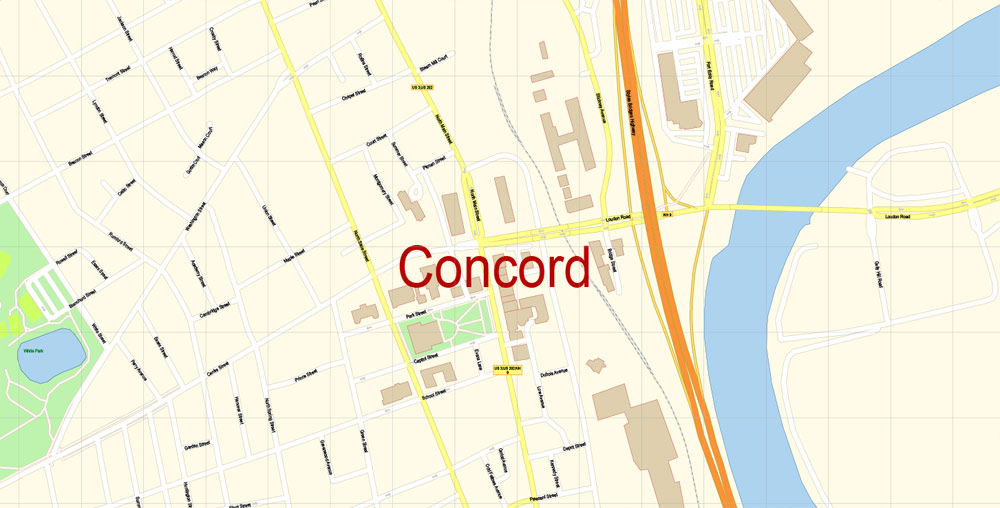


 Author: Kirill Shrayber, Ph.D. FRGS