Extended Description of the Vector Map
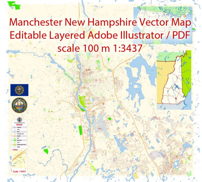
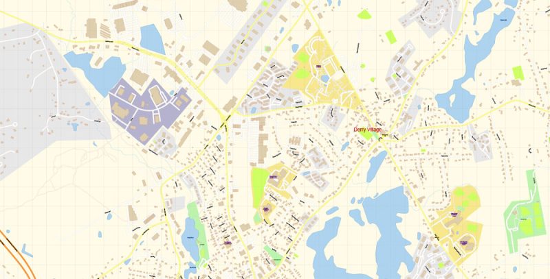
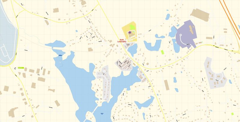
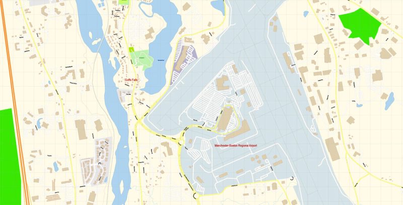
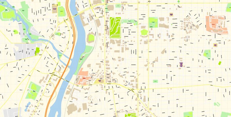
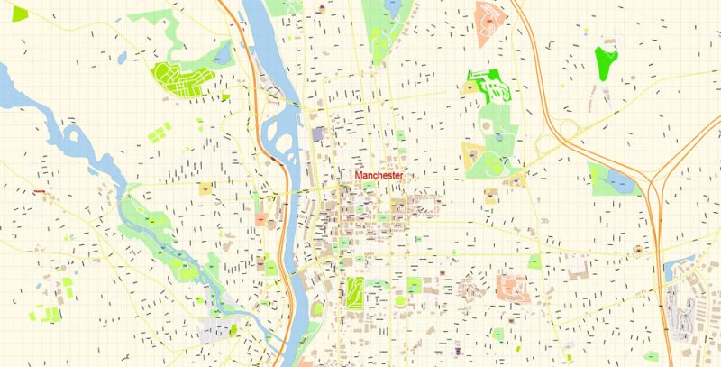
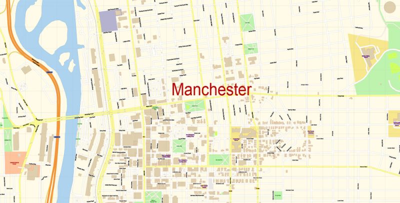
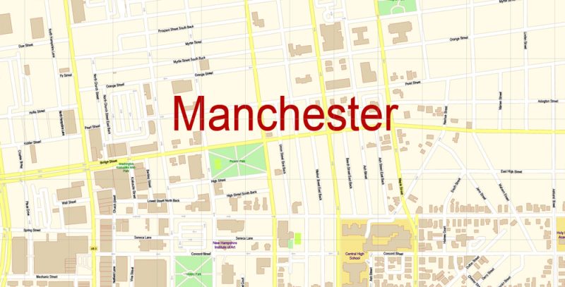
Printable Vector Map of Manchester New Hampshire US detailed City Plan scale 100 m 1:3447 full editable Adobe Illustrator Street Map in layers, scalable, text format all names, 9 MB ZIP
All street names, Main Objects, Buildings. Map for design, printing, arts, projects, presentations, for architects, designers, and builders, business, logistics.
Layers: color_fills, water, streets_roads, labels_roads, names_objects, names_streets, names_places, arrows_streets, buildings, grids, legend, etc.
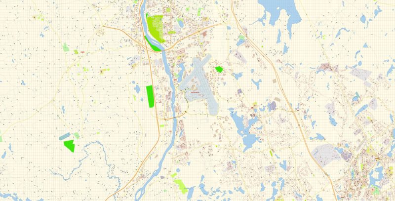
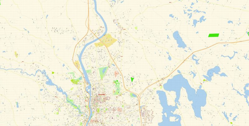
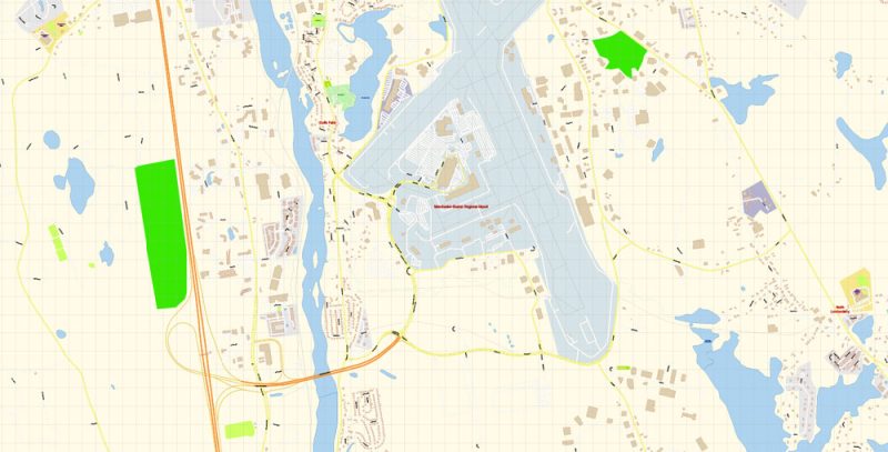
The most exact and detailed map of the city in scale.
For Editing and High-Quality Printing
Manchester
City in New Hampshire
Manchester is a city on the Merrimack River in southern New Hampshire. The Currier Museum of Art features works by major American and European artists. It also operates the Frank Lloyd Wright – designed Zimmerman House. In an old fabric mill, the Millyard Museum traces how the nearby Amoskeag Falls shaped the city and its textile industry. Trails in sprawling Derryfield Park lead to the 19th-century Weston Observatory.
Elevation: 64 m
Area: 90.6 km²
Population: 111,196
Manchester New Hampshire Map Vector Exact City Plan detailed Street Map editable Adobe Illustrator in layers
Manchester New Hampshire Map Vector Exact City Plan detailed Street Map editable Adobe Illustrator in layers
Manchester New Hampshire Map Vector Exact City Plan detailed Street Map editable Adobe Illustrator in layers
Manchester New Hampshire Map Vector Exact City Plan detailed Street Map editable Adobe Illustrator in layers
Manchester New Hampshire Map Vector Exact City Plan detailed Street Map editable Adobe Illustrator in layers
Manchester New Hampshire Map Vector Exact City Plan detailed Street Map editable Adobe Illustrator in layers
Manchester New Hampshire Map Vector Exact City Plan detailed Street Map editable Adobe Illustrator in layers

Manchester New Hampshire Map Vector Exact City Plan detailed Street Map editable Adobe Illustrator in layers
Manchester New Hampshire Map Vector Exact City Plan detailed Street Map editable Adobe Illustrator in layers
Manchester New Hampshire Map Vector Exact City Plan detailed Street Map editable Adobe Illustrator in layers
Manchester New Hampshire Map Vector Exact City Plan detailed Street Map editable Adobe Illustrator in layers
Manchester New Hampshire Map Vector Exact City Plan detailed Street Map editable Adobe Illustrator in layers


 Author: Kirill Shrayber, Ph.D. FRGS


