Extended Description of the Vector Map
Printable PDF Vector Map of Cefalu Sicily Italy high detailed street map / city plan fully editable Layered Adobe PDF scalable, text format all names, 4 MB ZIP
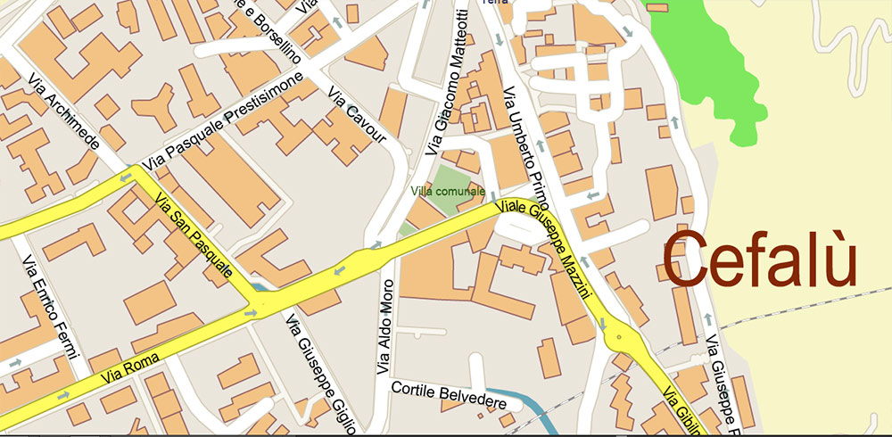
All street names, Main Objects, Buildings. Map for design, printing, arts, projects, presentations, for architects, designers, and builders, business, logistics.
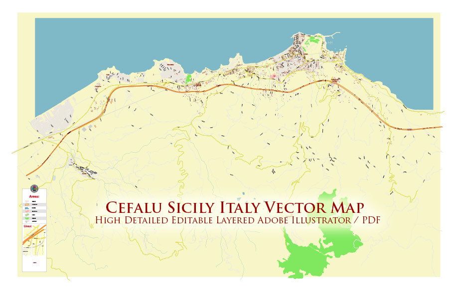
Cefalu Sicily Italy PDF Vector Map High Detailed fully editable City Plan – Street Map Adobe PDF in layers
Layers list:
- Legend
- Grids
- Labels of roads
- Names of places (city, hamlet, etc.)
- Names of objects (parks, water)
- Names of main streets
- Names of residential streets
- Arrows of streets
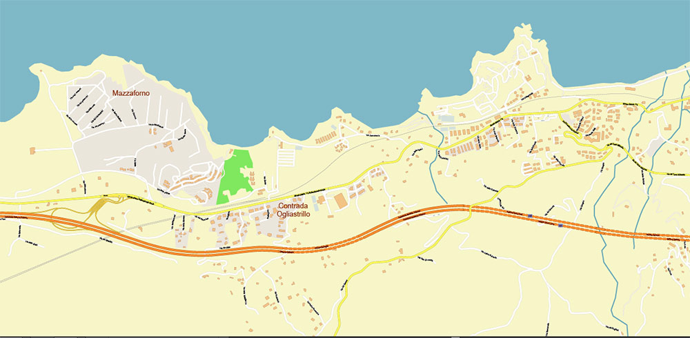
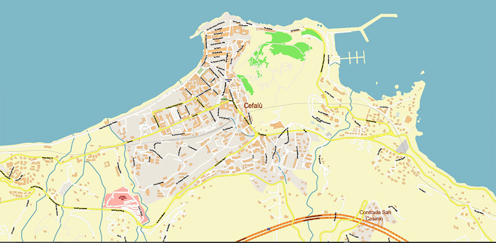
- Main Streets, roads
- Residential streets
- Buildings
- Railroads
- Water objects (rivers, lakes, ponds)
- Waterways
- Color fills (parks, land use, etc.)
- Islands
- Background and sea
The most exact and detailed map of the city in scale.
For Editing and High-Quality Printing
Cefalù, Sicily – Geographic Overview
Cefalù is a historic coastal town in northern Sicily, Italy, located about 70 km east of Palermo on the Tyrrhenian Sea. It lies at the foot of the rocky promontory La Rocca, which dominates the skyline. The town is part of the Madonie mountain region, with nearby hills covered in olive groves and vineyards.
Cefalù is best known for its Norman Cathedral, a UNESCO World Heritage site, and its medieval old town with narrow streets and fishing harbor. Today, tourism and services are the main economic drivers, alongside traditional fishing and agriculture.
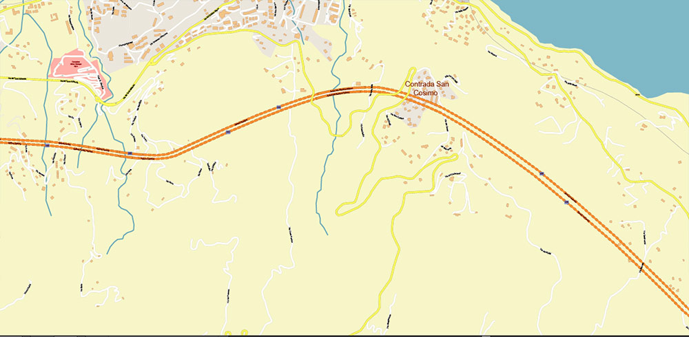
The town is well connected by the A20 Palermo–Messina motorway and the railway line linking Palermo with Messina. The nearest airport is Palermo Falcone–Borsellino. Cefalù has about 14,000 residents, but the population swells during the summer tourist season.
Cefalu Sicily Italy PDF Vector Map High Detailed fully editable City Plan – Street Map Adobe PDF in layers
Cefalu Sicily Italy PDF Vector Map High Detailed fully editable City Plan – Street Map Adobe PDF in layers
Cefalu Sicily Italy PDF Vector Map High Detailed fully editable City Plan – Street Map Adobe PDF in layers
Cefalu Sicily Italy PDF Vector Map High Detailed fully editable City Plan – Street Map Adobe PDF in layers

 Author: Kirill Shrayber, Ph.D. FRGS