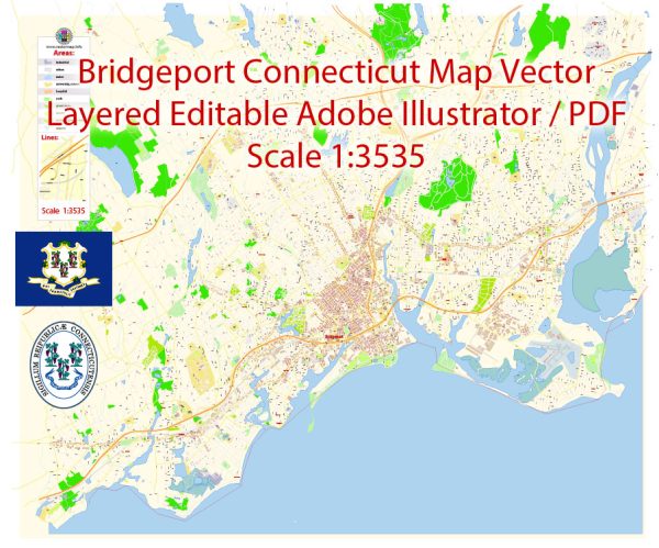
Bridgeport, Connecticut, is a city with a network of streets and roads that make up its transportation infrastructure. Here are some principal streets and roads in Bridgeport:
- Main Street: Often a central artery in many cities, Main Street in Bridgeport may feature a mix of commercial and residential areas.
- State Street: Another important road, State Street may connect various neighborhoods and commercial districts.
- Broad Street: This street may be a significant thoroughfare, possibly connecting different parts of the city.
- Fairfield Avenue: Running through the heart of the city, Fairfield Avenue may be lined with businesses, shops, and other establishments.
- Park Avenue: As the name suggests, this road may pass through or near parks and green spaces.
- Boston Avenue: This avenue might be a key route connecting Bridgeport to neighboring areas.
- Seaview Avenue: Given the city’s location near Long Island Sound, Seaview Avenue may provide access to waterfront areas.
- Connecticut Avenue: This road may connect Bridgeport to other cities and towns in the state.
- East Main Street and West Main Street: These two streets may run parallel and are often significant in dividing the city into east and west sections.
- Stratford Avenue: Connecting Bridgeport to the neighboring town of Stratford, this road may serve as a vital link.
- I-95 (Connecticut Turnpike): This interstate highway is a major north-south route running along the eastern coast of the United States. It passes through Bridgeport and provides a quick connection to nearby cities.
- Route 8: This state highway may connect Bridgeport to the northwest part of Connecticut.
It’s essential to note that Bridgeport’s road network is extensive and includes many other streets, avenues, and roads. Local maps and navigation tools can provide more detailed and real-time information on the city’s street layout and traffic conditions.


 Author: Kirill Shrayber, Ph.D.