Extended Description of the Vector Map
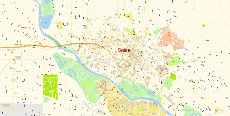
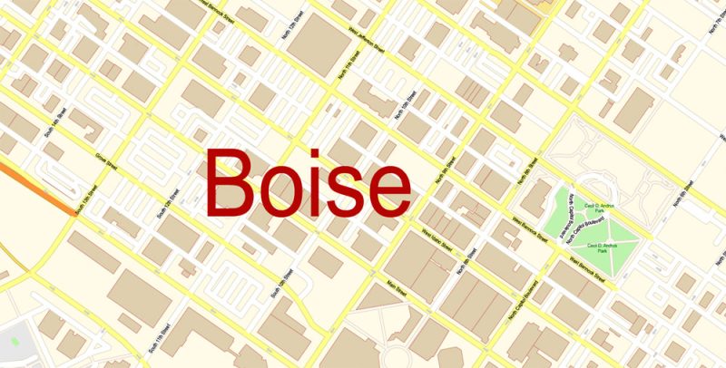
Printable Vector Map of Boise Idaho US detailed City Plan scale 100 m 1:3401 full editable Adobe Illustrator Street Map in layers, scalable, text format all names, 9 MB ZIP
All street names, Main Objects, Principal Buildings. Map for design, printing, arts, projects, presentations, for architects, designers, and builders, business, logistics.
Layers: color_fills, water, streets_roads, labels_roads, names_objects, names_streets, names_places, arrows_streets, buildings, grids, legend, etc.
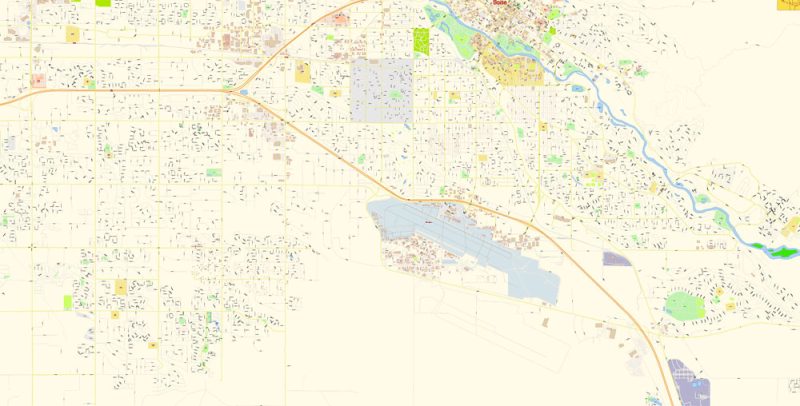
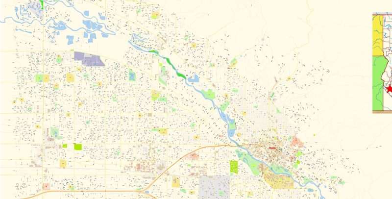
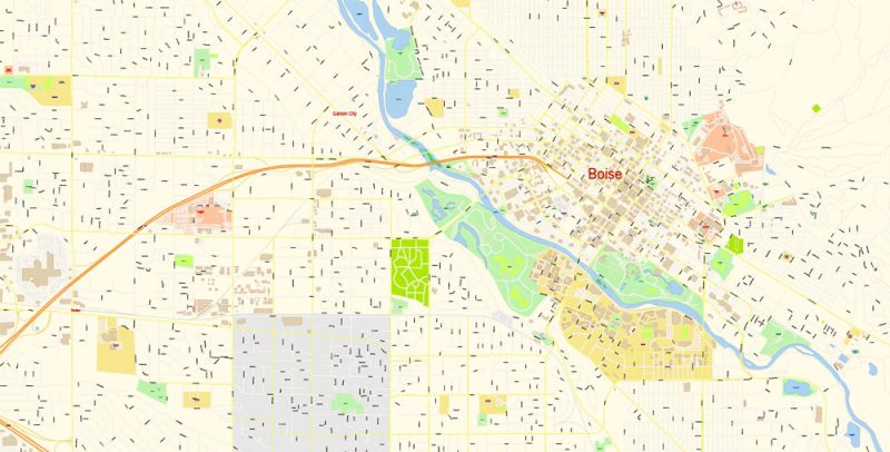
The most exact and detailed map of the city in scale.
For Editing and High-Quality Printing
Boise
City in Idaho
Boise is the capital city of Idaho. The Boise River Greenbelt is a series of tree-dotted trails and parks hugging the water’s edge. In an art deco building, downtown’s Boise Art Museum has contemporary works and an outdoor sculpture garden. The grand, sandstone Idaho State Capitol Building is nearby. The Old Idaho Penitentiary contains 19th-century prison cells and gallows, plus historic military weaponry.
Elevation: 832 m
Metro population: 709,845
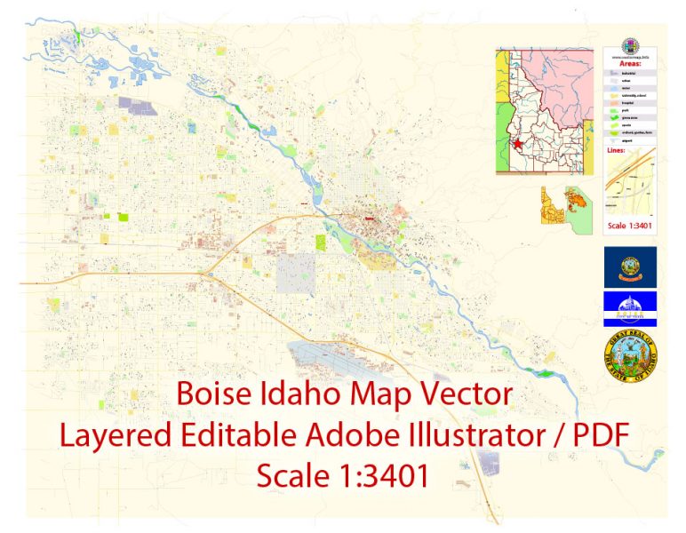
Boise Idaho Map Vector Exact City Plan detailed Street Map editable Adobe Illustrator in layers
Boise Idaho Map Vector Exact City Plan detailed Street Map editable Adobe Illustrator in layers
Boise Idaho Map Vector Exact City Plan detailed Street Map editable Adobe Illustrator in layers
Boise Idaho Map Vector Exact City Plan detailed Street Map editable Adobe Illustrator in layers
Boise Idaho Map Vector Exact City Plan detailed Street Map editable Adobe Illustrator in layers
Boise Idaho Map Vector Exact City Plan detailed Street Map editable Adobe Illustrator in layers
Author Rating
Aggregate Rating
no rating based on 0 votes
@vectormapper
Product Name Boise Idaho Map Vector Exact City Plan detailed Street Map editable Adobe Illustrator in layers
Price
USD 34
Product Availability
Available in Stock


 Author: Kirill Shrayber, Ph.D. FRGS
 + Admin Areas editable Adobe Illustrator in layers")