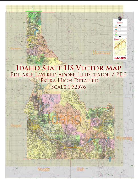
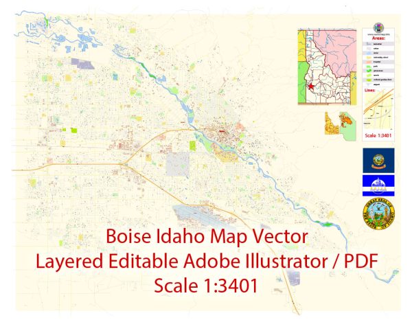
List of ready-made Vector Maps of the state of Idaho US |
|
| Boise, Idaho = 2 maps | Idaho Full State detailed map = 2 maps |
Vector Maps of the Idaho : state in the Pacific Northwest region of the United States. It borders the state of Montana to the east and northeast, Wyoming to the east, Nevada and Utah to the south, and Washington and Oregon to the west. To the north, it shares a small portion of the Canadian border with the province of British Columbia. With a population of approximately 1.8 million and an area of 83,570 square miles (216,400 km2), Idaho is the 14th largest, the 13th least populous and the 7th least densely populated of the 50 U.S. states.
Capital and largest city: Boise
Largest metro and urban areas: Boise
Area
• Total 83,569 sq mi (216,443 km2)
• Land 83,570 sq mi (216,400 km2)
• Water 926 sq mi (2,398 km2) 1.11%
Area rank 14th
Dimensions
• Length 479 mi (771 km)
• Width 305 mi (491 km)
Elevation 5,000 ft (1,520 m)
Highest elevation Borah Peak 12,662 ft (3,859 m)
Lowest elevation Confluence of Snake and Clearwater River; Lewiston 713 ft (217 m)
Population
• Total 1,963,277
• Rank 38th
• Density 21.6/sq mi (8.33/km2)
Instant download archives: royalty free, editable vector maps of Idaho US in high resolution digital PDF and Adobe Illustrator format.
All of our editable Idaho US vector maps are digital files,
which can be instantly downloaded in editable PDF or Adobe Illustrator format.
Objects on maps are usually divided into layers according to their types – lines, polygons, street names, object names (see map description!!!!)
Each of our Idaho US digital maps is available in Adobe Illustrator or editable PDF format, (or on request in any other known format for the same price)
which use a vector approach to display images,
you can easily enlarge any part of our maps without compromising text, line or graphic quality,
with any increase or decrease ratio.
Using a vector graphics editor such as Adobe Illustrator, CorelDraw, Inkscape, or Freehand
you can easily crop parts of the map, add custom characters, and change colors and font attributes as needed.
We have a variety of Idaho US vector maps with different levels of detail, from simple empty paths to highly detailed maps with roads and terrain layers.
| Free Vector Map Idaho State US Ai + PDF | |
|---|---|
List of IDAHO counties |
List of Cities and towns by counties |
Don’t see exactly what you’re looking for? Contact us to receive a special offer for an individual Idaho US map for your project.


 Author: Kirill Shrayber, Ph.D.