Extended Description of the Vector Map
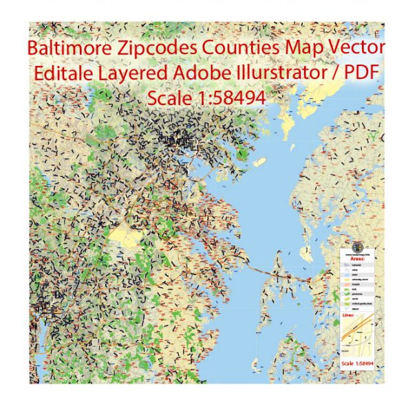
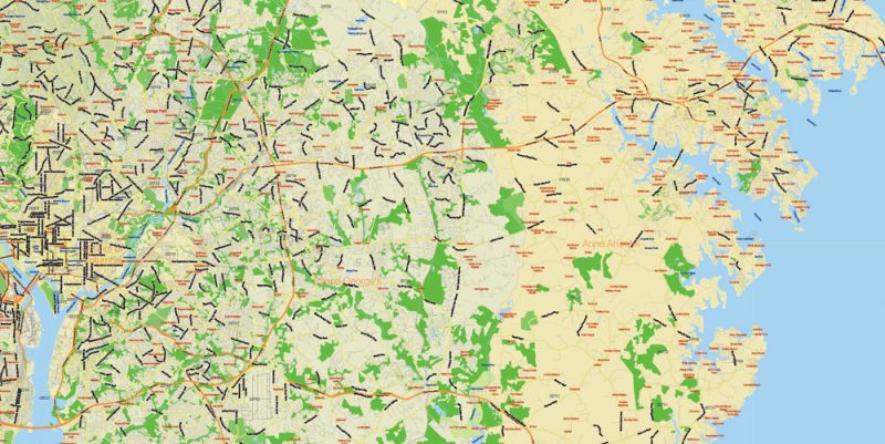
Printable Vector Map of Baltimore Maryland US detailed City Plan scale 1:58494 + counties + zipcodes full editable Adobe Illustrator Street Map in layers, scalable, text format all names, 22 MB ZIP
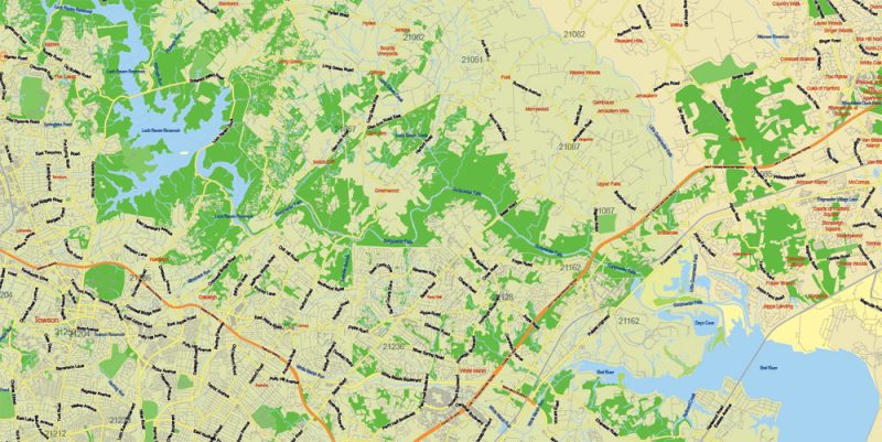
Principal street names, Main Objects. Map for design, printing, arts, projects, presentations, for architects, designers, and builders, business, logistics.
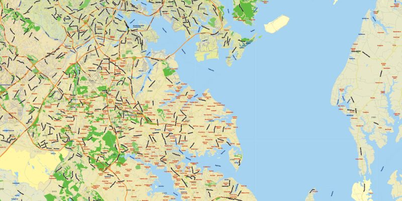
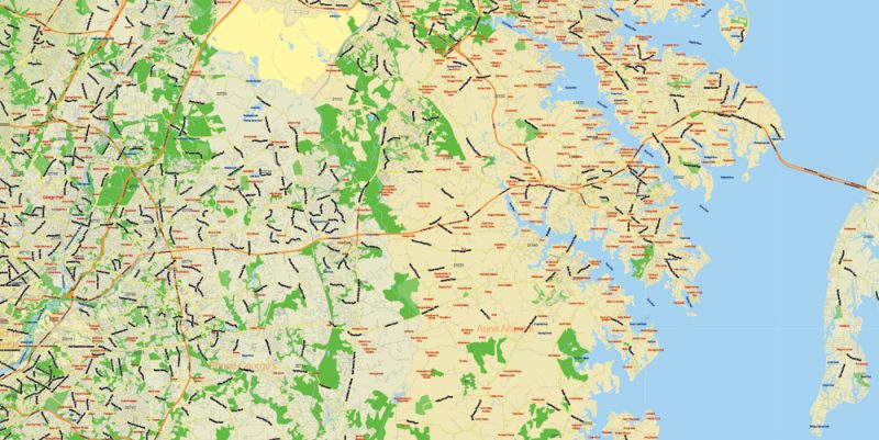
Layers: color_fills, water, streets_roads, labels_roads, names_objects, names_streets, names_places, grids, legend, etc.
The most exact and detailed map of the city in scale.
For Editing and High-Quality Printing
Baltimore
City in Maryland
Baltimore is a major city in Maryland with a long history as an important seaport. Fort McHenry, the birthplace of the U.S. national anthem, “The Star-Spangled Banner,” sits at the mouth of Baltimore’s Inner Harbor. Today, this harbor area offers shops, upscale crab shacks and attractions like the Civil War–era warship the USS Constellation and the National Aquarium, showcasing thousands of marine creatures.
Zip code: 21211
Baltimore Maryland Map Vector Exact City Plan Low detailed Street Map + Zipcodes editable Adobe Illustrator in layers
Baltimore Maryland Map Vector Exact City Plan Low detailed Street Map + Zipcodes editable Adobe Illustrator in layers
Baltimore Maryland Map Vector Exact City Plan Low detailed Street Map + Zipcodes editable Adobe Illustrator in layers
Baltimore Maryland Map Vector Exact City Plan Low detailed Street Map + Zipcodes editable Adobe Illustrator in layers
Baltimore Maryland Map Vector Exact City Plan Low detailed Street Map + Zipcodes editable Adobe Illustrator in layers


 Author: Kirill Shrayber, Ph.D. FRGS


 Street Map editable Adobe Illustrator in layers")