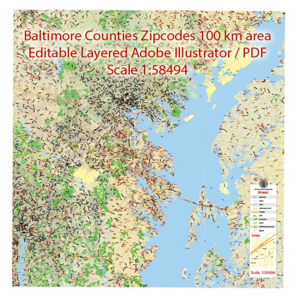
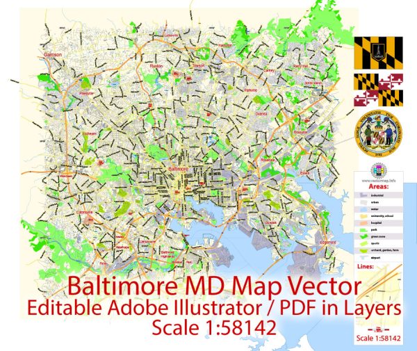
A general overview of the economic and transportation aspects of Baltimore, Maryland, in the United States.
Vectormap.Net provide you with the most accurate and up-to-date vector maps in Adobe Illustrator, PDF and other formats, designed for editing and printing. Please read the vector map descriptions carefully.
Economic Overview:
Diverse Economy:
Baltimore has a diverse economy with a mix of industries, including finance, healthcare, education, technology, and manufacturing. The city has historically been known for its role in maritime trade and shipping.
Major Industries:
- Healthcare and Bioscience: The city is a hub for healthcare and bioscience, with institutions like Johns Hopkins Hospital and the University of Maryland Medical Center playing a significant role.
- Technology and Cybersecurity: Baltimore has been making efforts to grow its technology sector, particularly in the field of cybersecurity.
- Education and Research: The presence of renowned institutions like Johns Hopkins University contributes to the city’s strength in education and research.
- Port and Logistics: Baltimore’s port is a major player on the East Coast, handling a significant amount of cargo and contributing to the city’s economy.
Challenges:
Baltimore faces challenges such as a higher-than-average crime rate and issues related to urban decay in certain neighborhoods. Efforts are ongoing to address these challenges and revitalize certain areas.
Transportation Overview:
Port of Baltimore:
The Port of Baltimore is a major economic driver. It handles a diverse range of cargo, including containers, automobiles, and bulk commodities. The port’s strategic location on the East Coast makes it a key player in international trade.
Rail and Intermodal Transportation:
Baltimore is well-connected by rail, with major rail lines passing through the city. The intermodal facilities at the port allow for efficient transfer of cargo between ships, trains, and trucks.
Highways:
The city is served by several major highways, including I-95, I-83, and I-695, providing connectivity to the broader Mid-Atlantic region.
Public Transit:
Baltimore’s public transportation system includes buses, light rail, and a subway system. The Maryland Transit Administration (MTA) manages public transit services in the city.
BWI Thurgood Marshall Airport:
Baltimore/Washington International Thurgood Marshall Airport (BWI) serves as a major airport for the region, providing domestic and international flights.
Urban Challenges:
Baltimore faces challenges related to traffic congestion and aging infrastructure. Efforts to improve public transit and address infrastructure needs are ongoing.

 Author: Kirill Shrayber, Ph.D.