Extended Description of the Vector Map
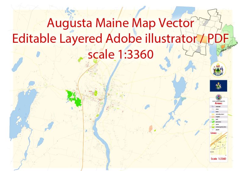
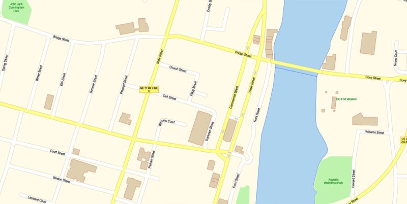
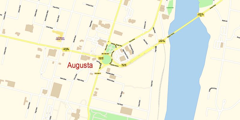
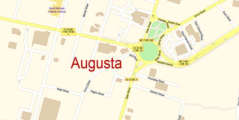
Printable Vector Map of Augusta Maine US detailed City Plan scale 100 m 1:3360 full editable Adobe Illustrator Street Map in layers, scalable, text format all names, 2 MB ZIP
All street names, Main Objects, Buildings. Map for design, printing, arts, projects, presentations, for architects, designers, and builders, business, logistics.
Layers: color_fills, water, streets_roads, labels_roads, names_objects, names_streets, names_places, arrows_streets, buildings, grids, legend, etc.
The most exact and detailed map of the city in scale.
For Editing and High-Quality Printing
Augusta
City in Maine
Augusta is the capital city of Maine. Beside the Kennebec River, Old Fort Western is an 18th-century wooden fort, with a recreated general store. Exhibits at the Maine State Museum trace local and natural history. Blaine House, the state governor’s residence, and the domed 19th-century Maine State House are next to the riverside Capitol Park. Southeast, trails wind through trees and gardens at Viles Arboretum.
Elevation: 21 m
Population: 18,594
Augusta Maine Map Vector Exact City Plan detailed Street Map editable Adobe Illustrator in layers
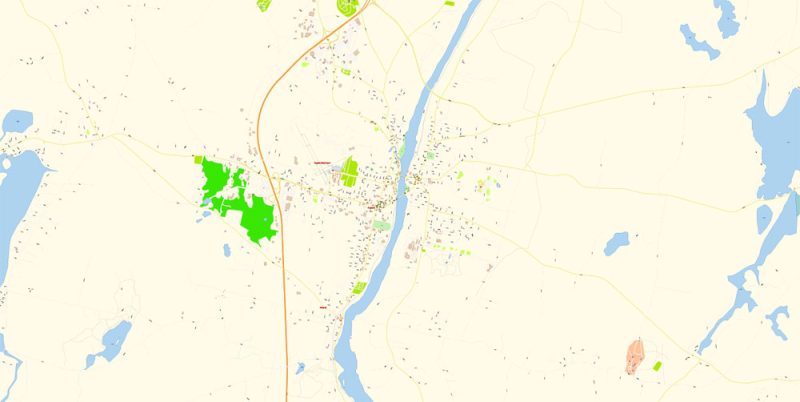
Augusta Maine Map Vector Exact City Plan detailed Street Map editable Adobe Illustrator in layers
Augusta Maine Map Vector Exact City Plan detailed Street Map editable Adobe Illustrator in layers
Augusta Maine Map Vector Exact City Plan detailed Street Map editable Adobe Illustrator in layers
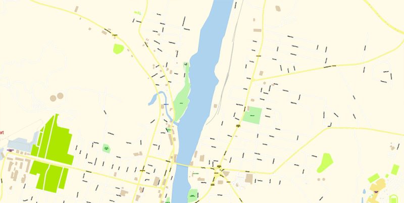
Augusta Maine Map Vector Exact City Plan detailed Street Map editable Adobe Illustrator in layers
Augusta Maine Map Vector Exact City Plan detailed Street Map editable Adobe Illustrator in layers
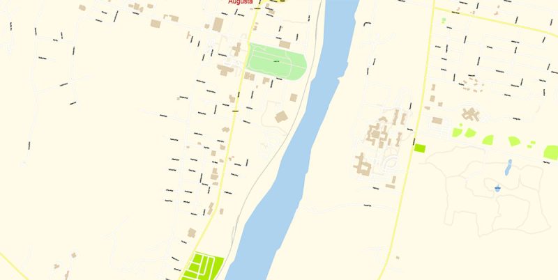
Augusta Maine Map Vector Exact City Plan detailed Street Map editable Adobe Illustrator in layers
Author Rating
Aggregate Rating
no rating based on 0 votes
@vectormapper
Product Name Augusta Maine Map Vector Exact City Plan detailed Street Map editable Adobe Illustrator in layers
Price
USD 23
Product Availability
Available in Stock


 Author: Kirill Shrayber, Ph.D. FRGS


 + Admin Areas editable Adobe Illustrator in layers")