Vector Maps of the Washington, officially the State of Washington : state in the Pacific Northwest region of the Western United States. Named for George Washington (the first U.S. president) , the state was formed from the western part of the Washington Territory, which was ceded by the British Empire in 1846, in accordance with the Oregon Treaty in the settlement of the Oregon boundary dispute. The state—which is bordered on the west by the Pacific Ocean, Oregon to the south, Idaho to the east, and the Canadian province of British Columbia to the north — was admitted to the Union as the 42nd state in 1889. Olympia is the state capital; the state’s largest city is Seattle.
Capital: Olympia
Largest city: Seattle
Largest metro and urban areas: Greater Seattle
Area
• Total 71,362 sq mi (184,827 km2)
• Land 66,544 sq mi (172,587 km2)
• Water 4,757 sq mi (12,237 km2) 6.6%
Area rank 18th
Dimensions
• Length 240 mi (400 km)
• Width 360 mi (580 km)
Elevation 1,700 ft (520 m)
Highest elevation Mount Rainier 14,411 ft (4,392 m)
Lowest elevation Pacific Ocean 0 ft (0 m)
Population
• Total 7,832,143
• Rank 13th
• Density 103/sq mi (39.6/km2)
Instant download archives: royalty free, editable vector maps of Washington US in high resolution digital PDF and Adobe Illustrator format.
All of our editable Washington US vector maps are digital files,
which can be instantly downloaded in editable PDF or Adobe Illustrator format.
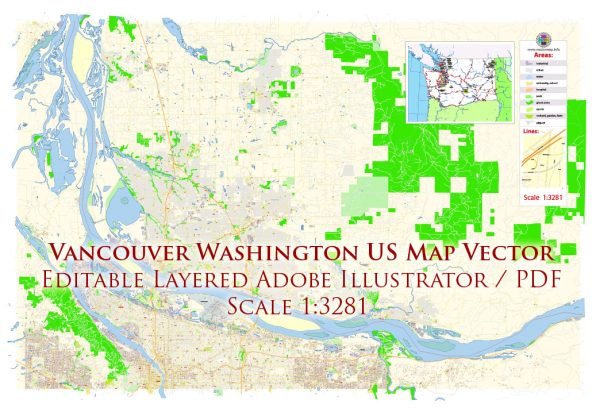
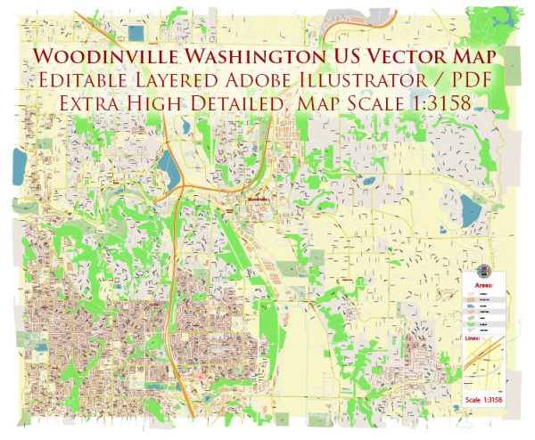
Objects on maps are usually divided into layers according to their types – lines, polygons, street names, object names (see map description!!!!)
Each of our Washington US digital maps is available in Adobe Illustrator or editable PDF format, (or on request in any other known format for the same price)
which use a vector approach to display images,
you can easily enlarge any part of our maps without compromising text, line or graphic quality,
with any increase or decrease ratio.
Using a vector graphics editor such as Adobe Illustrator, CorelDraw, Inkscape, or Freehand
you can easily crop parts of the map, add custom characters, and change colors and font attributes as needed.
We have a variety of Washington US vector maps with different levels of detail, from simple empty paths to highly detailed maps with roads and terrain layers.
Don’t see exactly what you’re looking for? Contact us to receive a special offer for an individual Washington US map for your project.

 Author: Kirill Shrayber, Ph.D. FRGS