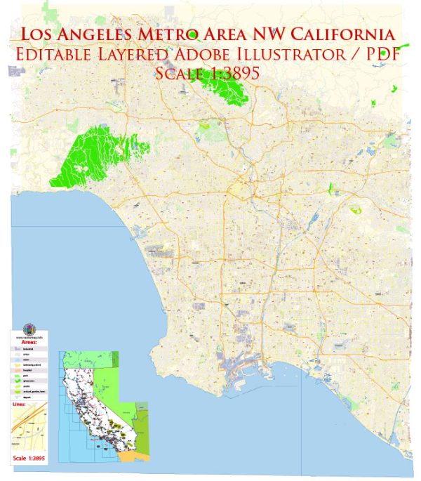
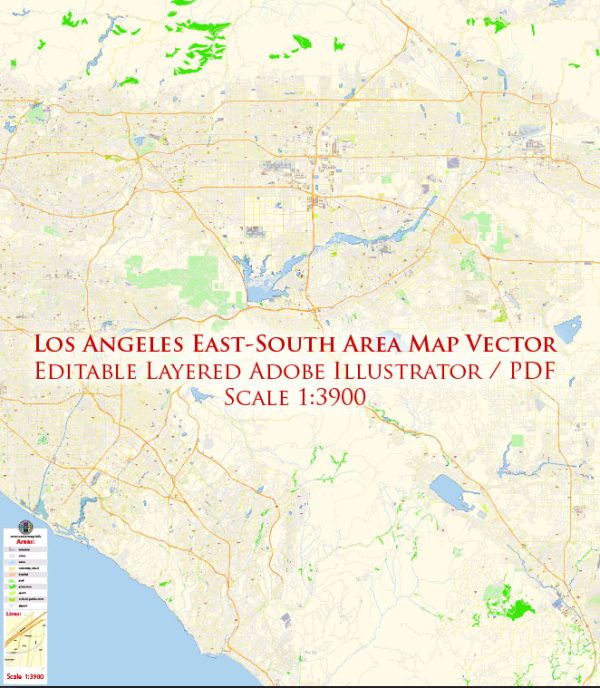
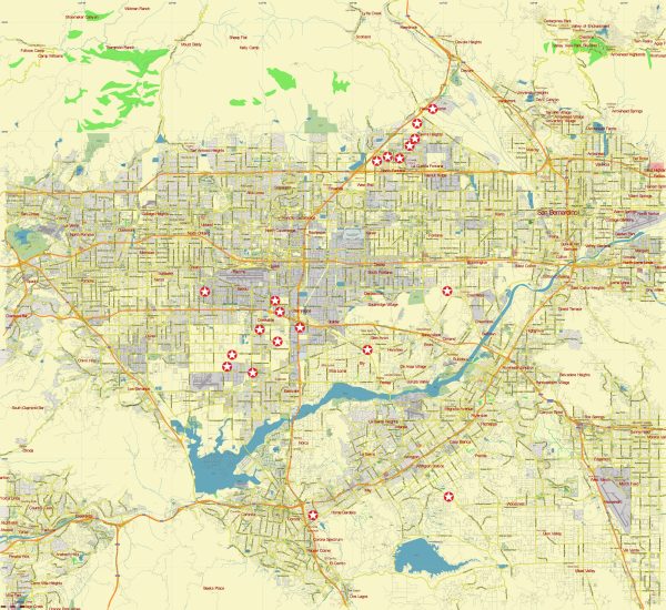
Vector Map Los Angeles California US: PDF and Adobe Illustrator

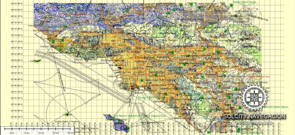
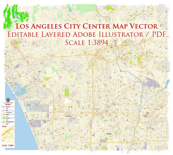
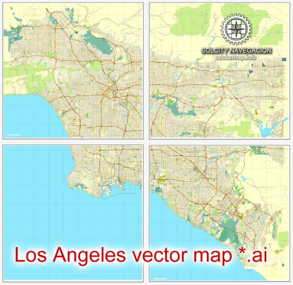
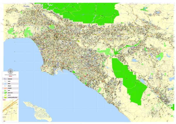
Vector Maps of the Los Angeles : city, seat of Los Angeles county, southern California, U.S. It is the second most populous city and metropolitan area (after New York City) in the United States. The city sprawls across a broad coastal plain situated between mountains and the Pacific Ocean; the much larger Los Angeles county, which encompasses the city, contains some 90 other incorporated cities, including Beverly Hills, Pasadena, and Long Beach. The county also encompasses two of the Channel Islands, Santa Catalina and San Clemente; Mount San Antonio, familiarly known as Mount Baldy or Old Baldy, 10,046 feet (3,062 metres) high; more than 900 square miles (2,330 square km) of desert; and 75 miles (120 km) of seacoast.
Area:
• Total: 501.55 sq mi (1,299.01 km2)
• Land: 469.49 sq mi (1,215.97 km2)
• Water: 32.06 sq mi (83.04 km2)

Instant download archives: royalty free, editable vector maps of Los Angeles California in high resolution digital PDF and Adobe Illustrator format.

All of our editable Los Angeles California vector maps are digital files,
which can be instantly downloaded in editable PDF or Adobe Illustrator format.
Objects on maps are usually divided into layers according to their types – lines, polygons, street names, object names (see map description!!!!)
Each of our Los Angeles California digital maps is available in Adobe Illustrator or editable PDF format, (or on request in any other known format for the same price)
which use a vector approach to display images,
you can easily enlarge any part of our maps without compromising text, line or graphic quality,
with any increase or decrease ratio.
Using a vector graphics editor such as Adobe Illustrator, CorelDraw, Inkscape, or Freehand
you can easily crop parts of the map, add custom characters, and change colors and font attributes as needed.
We have a variety of Los Angeles California vector maps with different levels of detail, from simple empty paths to highly detailed maps with roads and terrain layers.

Los Angeles CA geographical data

City Name: Los Angeles
Population: 3,694,820
County: Los Angeles County
State: California
Country: United States
Capital: Washington
Currency: Dollar (USD)
Geographic coordinates:
(decimal degrees)
Latitude: 34.05° N
Longitude: -118.24°W
Elevation: 377 ft / 115 m
Districts: Fairfax District, Hollywood, Koreatown, Melrose Avenue, Universal City

Small towns nearby:

Alhambra CA
Alondra Park CA
Altadena CA
Artesia CA
Bell CA
Bell Gardens CA
Bellflower CA
Belvedere CA
Beverly Hills CA
Burbank CA
Cerritos CA
Commerce CA
Compton CA
Cudahy CA
Culver City CA
Del Aire CA
Downey CA
East Compton CA
East Los Angeles CA
East Pasadena CA
East San Gabriel CA
El Segundo CA
Gardena CA
Glendale CA
Hawthorne CA
Hermosa Beach CA
Hollywood CA
Huntington Park CA
Inglewood CA
La Cañada Flintridge CA
Ladera Heights CA
Lakewood CA
Lawndale CA
Lennox CA
Lynwood CA
Manhattan Beach CA
Maywood CA
Montebello CA
Monterey Park CA
North Glendale CA
Norwalk CA
Paramount CA
Pasadena CA
Pico Rivera CA
Rosemead CA
San Gabriel CA
San Marino CA
Santa Fe Springs CA
Sierra Madre CA
South El Monte CA
South Gate CA
South Pasadena CA
South San Gabriel CA
Temple City CA
Universal City CA
Walnut Park CA
West Athens CA
West Compton CA
West Hollywood CA
Westmont CA
Westwood CA
Willowbrook CA

Large cities nearby:

Glendale CA
East Los Angeles CA
Hollywood CA
North Glendale CA
Pasadena CA
Inglewood CA
Long Beach CA
Universal City CA
Burbank CA
Downey CA
El Monte CA
Torrance CA
Norwalk CA
Anaheim CA
Santa Ana CA
West Covina CA
Fullerton CA
Garden Grove CA
Huntington Beach CA
Santa Clarita CA
Pomona CA
Irvine CA
Orange CA
Ontario CA
Palmdale CA
San Diego CA
Riverside CA
Costa Mesa CA
Rancho Cucamonga CA
Simi Valley CA
Thousand Oaks CA
Corona CA
Lancaster CA
Fontana CA
San Bernardino CA
Oxnard CA
Oxnard Shores CA
Moreno Valley CA
Rialto CA
Bakersfield CA
Oceanside CA
Chula Vista CA
Escondido CA

street names in Los Angeles

Don’t see exactly what you’re looking for? Contact us to receive a special offer for an individual Los Angeles California map for your project.

Author: Kirill Shrayber, Ph.D.

I have been working with vector cartography for over 25 years, including GPS, GIS, Adobe Illustrator and other professional cartographic software.
Linkedin: https://www.linkedin.com/in/kirill-shrayber-0b839325/
Twitter: https://twitter.com/vectormapper

Are we missing some maps? Let us know!!!
What map do you need?

    We will upload it within the next 24 hours and notify you by Email.

    [mailpoet_form id=”1″]

    Menu