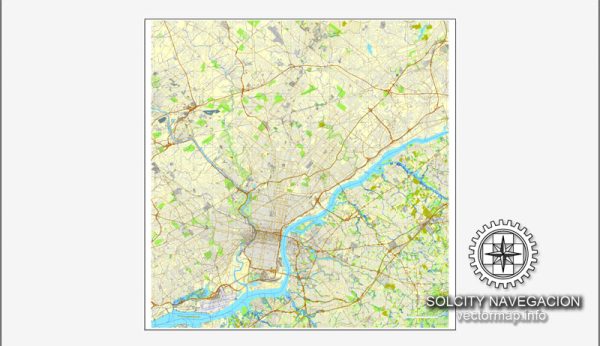
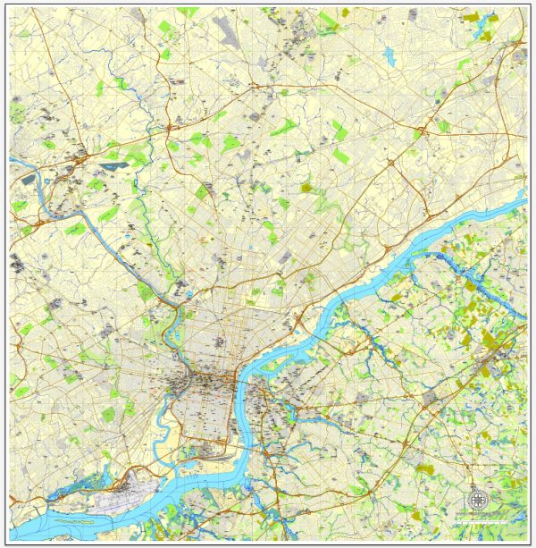
Philadelphia, Pennsylvania, is a city with a rich history and a diverse range of neighborhoods and communities. The city is divided into various districts and neighborhoods, each with its own unique character and charm.
Vectormap.Net provide you with the most accurate and up-to-date vector maps in Adobe Illustrator, PDF and other formats, designed for editing and printing. Please read the vector map descriptions carefully.
- Center City:
- Description: Center City is the heart of Philadelphia, characterized by its high-rise buildings, historic landmarks, and cultural attractions. It is divided into several neighborhoods, including Old City, Society Hill, Rittenhouse Square, and Washington Square West.
- Notable Features: Independence Hall, Liberty Bell, Rittenhouse Square Park, and numerous museums and theaters.
- South Philadelphia:
- Description: Known for its diverse communities, South Philadelphia is famous for its Italian Market and the sports complex that houses stadiums for the Eagles, Phillies, and Flyers. It includes neighborhoods like Bella Vista, Point Breeze, and Pennsport.
- Notable Features: Italian Market, South Street, sports stadiums, and FDR Park.
- North Philadelphia:
- Description: Historically an industrial area, North Philadelphia has a mix of residential neighborhoods and educational institutions. It includes areas like Temple University and neighborhoods such as Fairhill, Brewerytown, and Strawberry Mansion.
- Notable Features: Temple University, Fairmount Park, Eastern State Penitentiary, and the Philadelphia Zoo.
- West Philadelphia:
- Description: Home to the University of Pennsylvania and Drexel University, West Philadelphia is known for its academic institutions, cultural diversity, and tree-lined streets. Neighborhoods include University City, Powelton Village, and Cedar Park.
- Notable Features: University of Pennsylvania, Drexel University, Clark Park, and the Mann Center for the Performing Arts.
- Northeast Philadelphia:
- Description: A largely residential area, Northeast Philadelphia has a mix of suburban and urban neighborhoods. It includes communities like Mayfair, Rhawnhurst, and Somerton.
- Notable Features: Pennypack Park, Fox Chase Farm, and Northeast Philadelphia Airport.
- Roxborough-Manayunk:
- Description: Located along the Schuylkill River, this area is known for its hilly terrain, historic architecture, and the Manayunk Canal. The neighborhoods of Roxborough and Manayunk offer a mix of residential and commercial spaces.
- Notable Features: Main Street in Manayunk, Wissahickon Valley Park, and the Schuylkill River Trail.
- Kensington-Fishtown:
- Description: These neighborhoods have undergone significant revitalization in recent years. Fishtown, in particular, has become a trendy area with a vibrant arts and dining scene.
- Notable Features: Frankford Avenue arts corridor, Penn Treaty Park, and Kensington’s diverse arts community.
- Chestnut Hill:
- Description: Located in the northwest part of the city, Chestnut Hill is known for its charming, historic architecture and a more suburban feel. Germantown Avenue runs through the heart of this neighborhood.
- Notable Features: Morris Arboretum, Chestnut Hill College, and the Wissahickon Valley Park.
Street System: Philadelphia’s street system is characterized by a grid pattern in much of the city, with numbered streets running north-south and tree-named streets running east-west. Broad Street serves as a major north-south artery, dividing the city into East and West. Market Street is a primary east-west thoroughfare, dividing the city into North and South.
It’s important to note that Philadelphia is a city of neighborhoods, each with its own unique identity and community. The city’s history, cultural diversity, and ongoing development contribute to the dynamic and evolving nature of its districts and communities.

 Author: Kirill Shrayber, Ph.D. FRGS