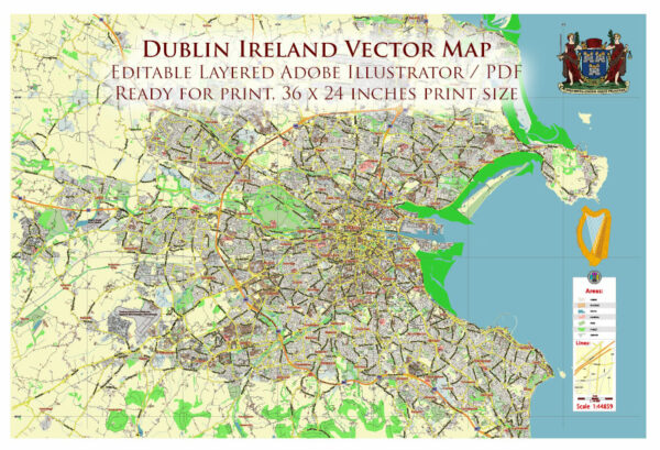
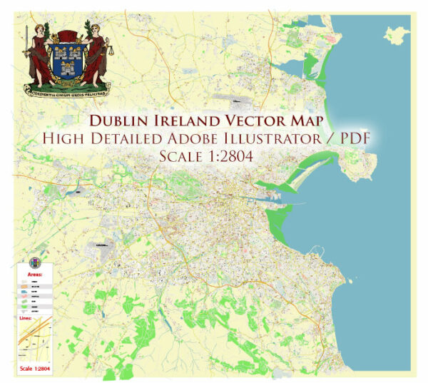
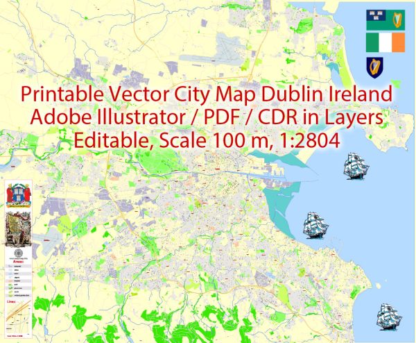
Dublin, the capital city of Ireland, has a well-developed and efficient public transport system that serves the needs of both residents and tourists. The city’s transport network includes buses, trams, trains, and a comprehensive network of cycling lanes and pedestrian pathways. Here’s a description of the various modes of public transportation in Dublin:
- Dublin Bus: Dublin Bus operates an extensive network of bus routes throughout the city and its suburbs. The buses are a common and affordable way to get around Dublin. They run from early morning to late evening and offer convenient connections to key locations in the city.
- Dublin DART (Dublin Area Rapid Transit): The DART is a suburban rail service that runs along the coast of Dublin, providing fast and efficient transportation to nearby towns and coastal areas. It’s a great way to explore scenic coastal destinations like Howth and Bray.
- LUAS Tram System: Dublin’s LUAS system consists of two tram lines: the Red Line and the Green Line. The Red Line runs from Tallaght in the southwest to The Point in the east, while the Green Line connects Brides Glen in the south to Broombridge in the north. LUAS is a popular choice for traveling within the city center and its immediate surroundings.
- Irish Rail: Irish Rail provides intercity and commuter rail services connecting Dublin with other major cities in Ireland, such as Cork, Galway, Limerick, and Belfast. Dublin Connolly and Heuston are the main railway stations in the city.
- Dublin Bikes: Dublin Bikes is a bike-sharing scheme that allows you to rent bicycles at various docking stations around the city. It’s a convenient and eco-friendly way to explore Dublin, especially in the city center.
- Taxi Services: Taxis are readily available in Dublin, and you can hail them on the street or book one through a taxi app. They are a more expensive mode of transportation compared to public transit but offer the convenience of door-to-door service.
- Dublin Airport: Dublin Airport is the largest and busiest airport in Ireland. It provides international and domestic flights, connecting the city to destinations worldwide. Various public transport options, including buses and taxis, are available for traveling to and from the airport.
- Walking: Dublin is a pedestrian-friendly city with many attractions and amenities within walking distance of each other. The city center features pedestrianized streets and a host of interesting landmarks, making it easy to explore on foot.
- Cycling: Dublin is becoming more bike-friendly, with an expanding network of cycling lanes and bike rental services. Cycling can be a pleasant and eco-friendly way to get around the city.
- Suburban Buses: In addition to Dublin Bus, several private companies operate suburban bus services that connect the city to more distant suburbs and regions.
Dublin’s public transportation system is generally reliable and efficient, offering a range of options to suit various travel needs. The Leap Card is a convenient way to pay for public transport in Dublin as it can be used across buses, trams, DART, and commuter rail services, making it easier to navigate the city’s diverse transit offerings.

 Author: Kirill Shrayber, Ph.D. FRGS