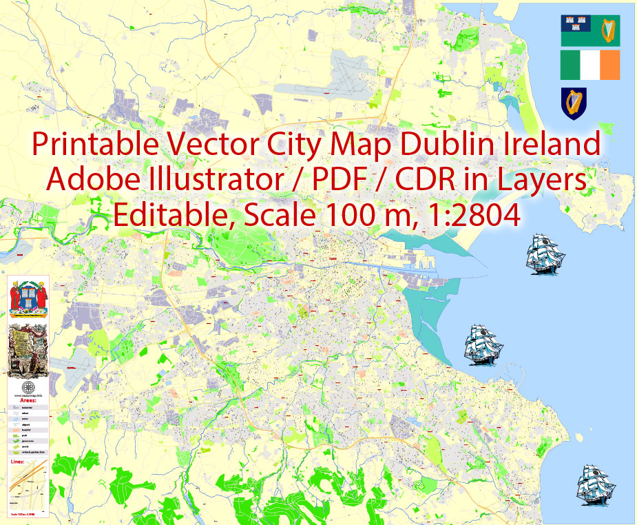
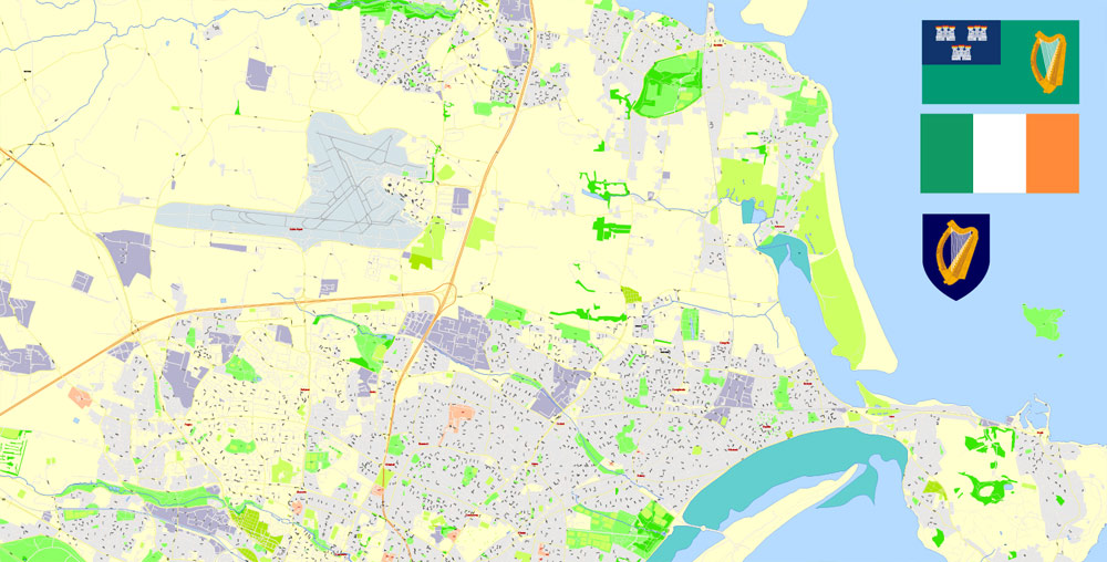
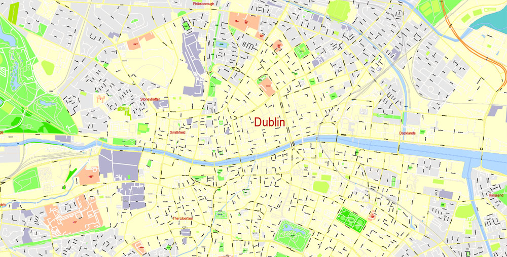
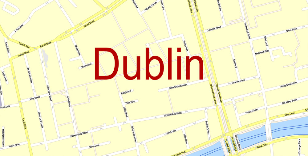
Printable Vector Map Dublin Ireland, exact detailed City Plan, Scale 1:2804, editable Layered Adobe Illustrator Street Map, 17 Mb ZIP.
All streets named, main objects. Map for publishing, design, printing, publications, arts, projects, presentations, for architects, designers and builders, business, logistics. The most exact and detailed map of the city.
Layers: legend, grids, labels_roads, names_places, names_streets, names_objects, objects, arrows_streets, streets_roads, color_fills, etc.
Text format all names
DWG, DXF, CDR, ESRI Shapes, and other formats – by request, same price, please contact.
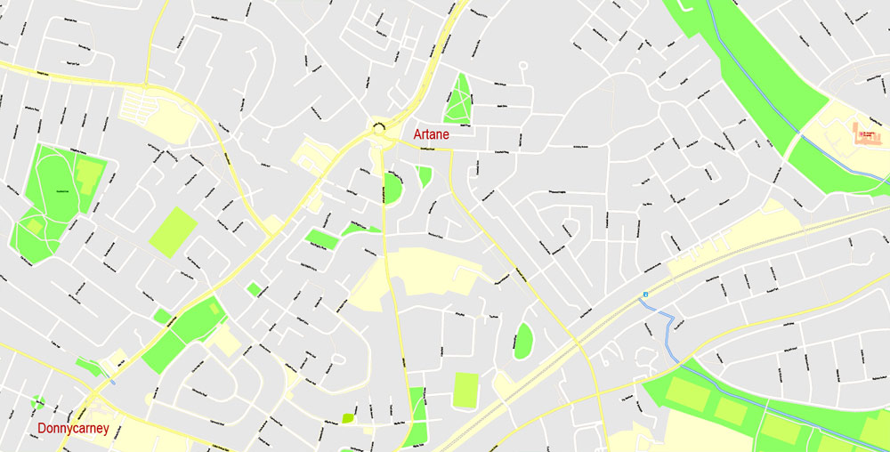
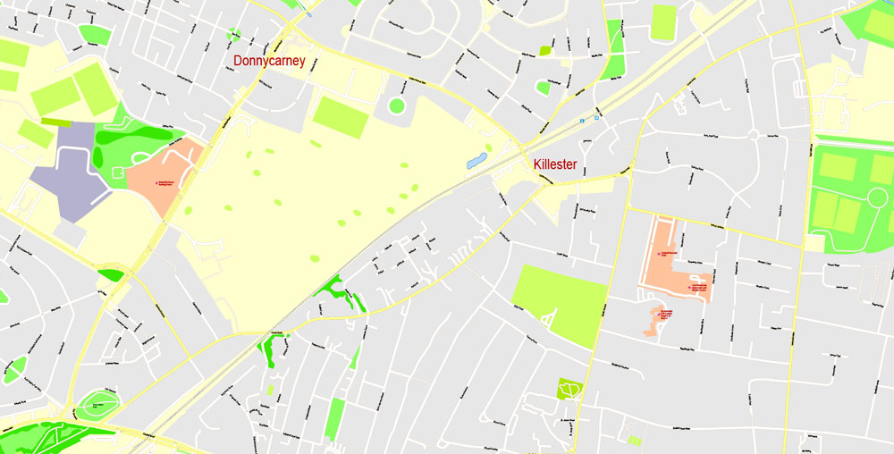
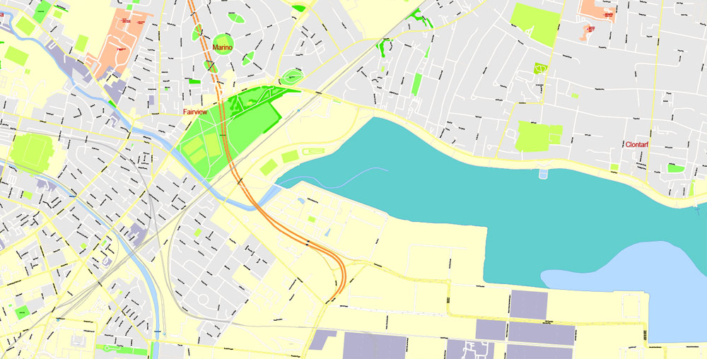
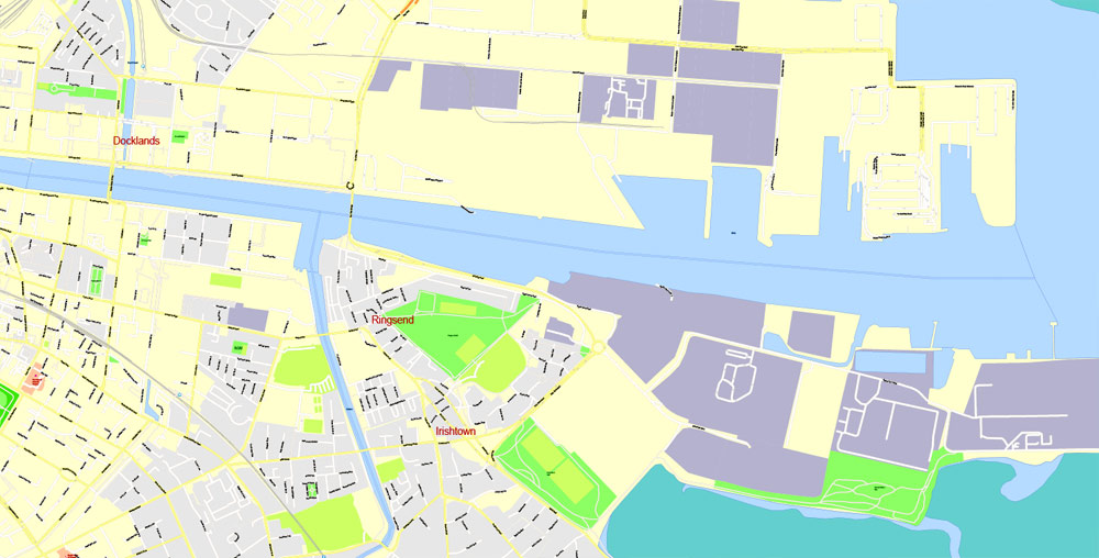
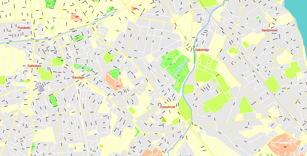
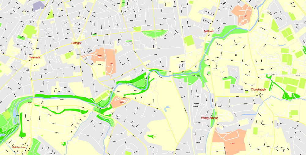
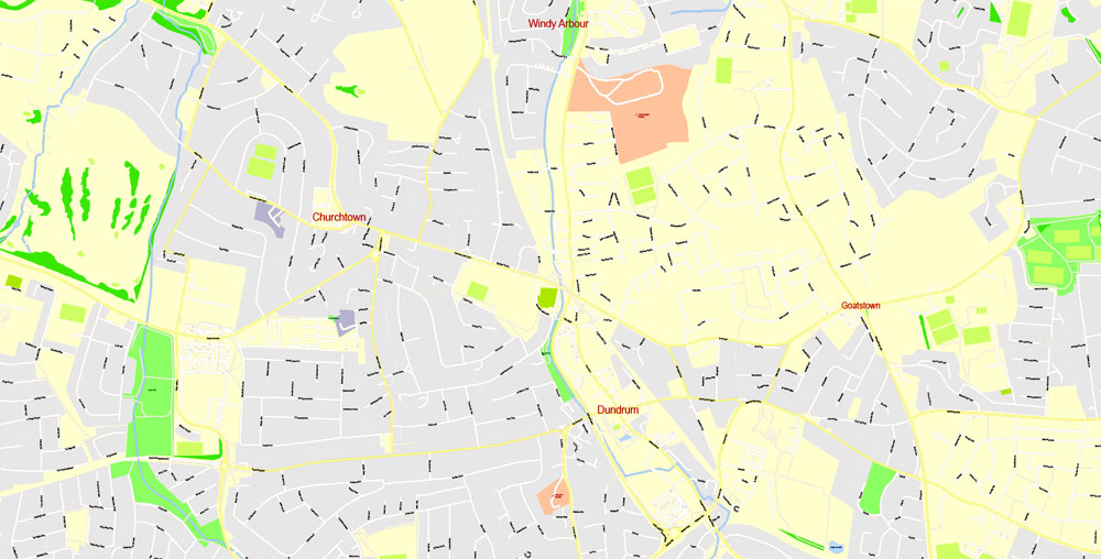
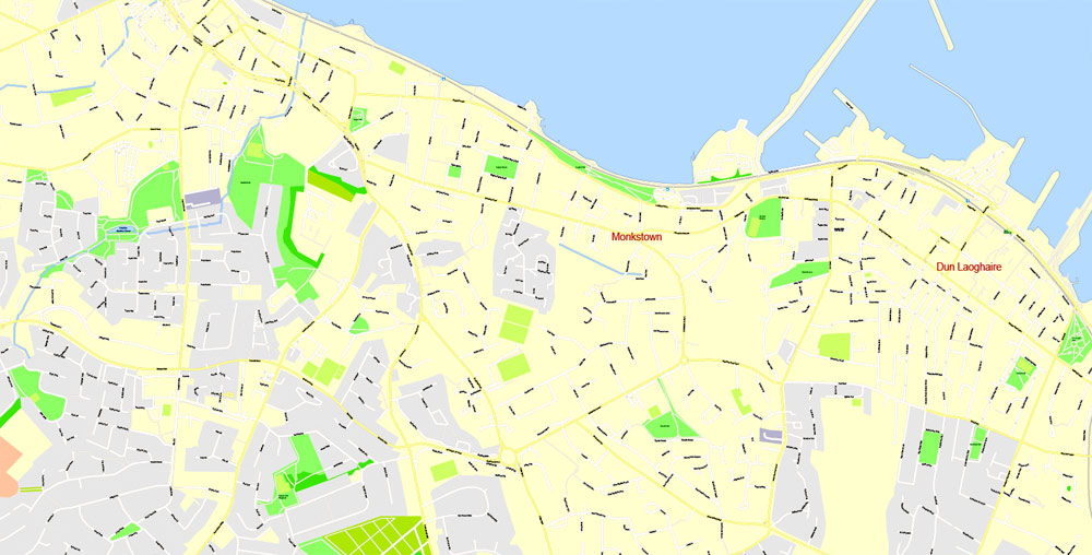
Dublin, Ireland.
This vector map of Dublin city is used as a basis for design, editing, and further printing.
This is the most detailed, exact map of Dublin city for high-quality printing and polygraphy. You can always clarify the map development date by contacting us.
For your convenience, all objects on Dublin vector city map are divided into layers. And the editing is very easy – colors, lines, etc.
You can easily add any objects needed (e.g. shops, salons, sale points, gas station or attraction) on any layer of Dublin vector map.
One of the advantages of Dublin city vector maps of our production is the relevance of cartographic data, we constantly update all our products.
Dublin is the capital and largest city in Ireland. The city is on the east coast of Ireland, in the province of Leinster, at the mouth of the River Liffey, and is bordered on the south by the low mountains. It has an urban area population of 1,173,179, while the population of the Dublin Region (formerly County Dublin), as of 2016, was 1,347,359, and the population of the Greater Dublin area was 1,904,806.
This vector map of Dublin city is used by:
designers, layout designers, printers, advertisers and architects. Our product – vector maps – is designed for further editing and printing in large formats – from @Wall format (a few meters) to A-0 and A-1, A-2, A-3.
The Dublin city map in vector format is used for design, urban planning, presentations and media visualizations.
The advertising and presentation map of Dublin city (usually the final designer marks the routes, and puts the client’s objects (shops, saloons, gas stations etc.)
The undoubted advantage is that people will NEVER throw out this advertising product – the map. In fact, as an advertising medium, a city map is the most “long-playing” of the well-known polygraphic advertising media, with the longest lifespan, and the maximum number of interactions with the customer.
For travelers, maps are sold at the airports and gas stations around the world. Often the source is our vector maps.
There is archaeological debate regarding precisely where Dublin was established by Celtic-speaking people in the 7th century AD. Later expanded as a Viking settlement, the Kingdom of Dublin, the city became Ireland’s principal settlement following the Norman invasion. The city expanded rapidly from the 17th century and was briefly the second largest city in the British Empire before the Acts of Union in 1800. Following the partition of Ireland in 1922, Dublin became the capital of the Irish Free State, later renamed Ireland.
Take a look, who purchases our vector maps of Dublin city in “Our Clients and Friends” page – these are large and small companies, from super-brands like Volvo and Starbucks, to small design studios and printing houses.
It’s very easy to work with vector maps of Dublin city, even for a not very experienced designer who can turn on and off the map layers, add new objects, change the colors of fill and lines according to customer requirements.
The undoubted advantage of Dublin city vector maps in printing is an excellent and detailed visualization, when customer can expand a large paper map and instantly define his location, find a landmark, an object or address on map, unlike using the popular electronic formats of Google and Yandex maps for example.
Printable vector maps of Dublin city are much more convenient and efficient than any electronic maps on your smartphone, because ALL DETAILS are displayed in the entire space of Dublin city map.
Dublin is a historical and contemporary centre for education, the arts, administration and industry. As of 2018 the city was listed by the Globalization and World Cities Research Network (GaWC) as a global city, with a ranking of “Alpha -“, which places it amongst the top thirty cities in the world.
Useful tips on working with vector maps of cities and countries in Adobe Illustrator.
«V» – launches the Selection tool (cursor, black arrow), which makes active any vector line.
«А» – launches the Direct Selection tool (white cursor), allows you to select curve elements and drag them to the desired place.
«R» – activates the Rotate tool, which helps you rotating selected objects around the center point by 360 degrees.
«E» – gives you the opportunity to use the Eraser tool and erase unnecessary parts.
«X» – switches between Fill and Stroke in the Tools section. Try to get used to this hot key and
you will quickly understand that you can’t live and work without it.
Guides are not limited to vertical and horizontal in Adobe Illustrator. You can also create a diagonal guide for example. Moreover, you can turn any contours into guides. Select the outline and go to View > Guides > Make Guides (Create Guides), or simply press Cmd/Ctrl + 5. You can also turn the guides back into an editable object. Go to menu, View > Guides > Unlock Guides (Release Guides), select the guide you want to edit and select View > Guides > Release Guides (Reset Guides), or just press Cmd/Ctrl + Option / Alt + 5).
Geography
Landscape
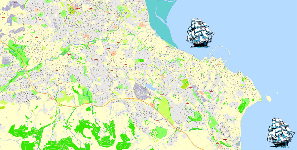
Dublin is situated at the mouth of the River Liffey and encompasses a land area of approximately 115 square kilometres (44 sq mi) in east-central Ireland. It is bordered by a low mountain range (the Dublin Mountains and Wicklow Mountains) to the south and surrounded by flat farmland to the north and west.
You will probably want to change the color scheme used on our Dublin vector city map.
To quickly and effectively play with colors.
Of course, you can do it manually, all objects in our Dublin city vector map are divided according to types and layers, and you can easily change the color gamma of vector objects in groups and layers.
But there is more effective way of working with the whole VECTOR MAP of Dublin city and all layers:
The overview dialog «Edit colors»/«Repaint Graphic Object» (this dialog box name can change depending on the context):
If you have selected a part or a layer of Dublin city vector map and open the dialog box by clicking the icon in the Control panel, on the Samples palette or the Color Catalog, or if you choose Edit > Edit Colors> Repaint Graphic Object, then the «Repaint Graphic Object» dialog box appears, and you get access to «Assign» and «Edit» tabs.
If a picture or a map fragment is not selected, and you open the dialog box by clicking the icon in the Control panel, on the Samples palette or in the Color Catalog, the «Edit Colors» dialog box appears and you can only access the «Edit» tab.
Regardless of the name at the top of the dialog box, the right-hand side always displays the color group of the current document, as well as two default color groups: Print Color and Grayscale. These color groups can be selected and used any time.
Create and edit color groups of Dublin city vector map, and also assign colors using the «Edit Colors»/ а «Repaint Graphic Object» dialog box.
A. Creating and editing of a color group on the «Edit» tab
B. Assigning colors on the «Assign» tab
C. Select a group of colors from the «Color groups» list
The option «Repaint a graphic object» in the lower part of the dialog box allows you to preview the colors on a selected layer of Vector map, or a group of elements, and specify whether its colors will be redefined when the dialog box is closed.
The main areas of the dialog box are:
«Edit»
The «Edit» tab is designed to create a new or edit the existing color groups.
The harmony rules Menu and the Color Wheel are used to conduct experiments with color harmonies. The color wheel shows how colors are related in color harmony, and the color bars allow you to view and manipulate an individual color values. In addition, you can adjust the brightness, add and remove colors, save color groups and view colors on the selected Vector Map of Dublin city or a separated layers.
«Assign»
The «Assign» tab is used to view and control on how the original colors are replaced with colors from the color group like your corporate colors in the Vector Map of Dublin city.
The assign color ability is provided only if the entire map, layer or fragment is selected in the document. You can specify which of new colors replace the current colors, whether the spot colors should be preserved and how colors are replaced (for example, you can replace colors completely or changing the color tone while maintaining the brightness). The «Assign» tab allows you to redefine colors in the Vector Map of Dublin city, or in separate layers and fragments using the current color group or reducing the number of colors in the current Vector Map.
Color groups
Is a list of all saved color groups for current document (the same groups appear in the «Samples» palette). You can edit and delete the existing color groups, as well as creating a new ones using the list of “Color Groups” in the dialog box. All changes appear in the «Samples» palette.
The highlighted color group shows, which color group is currently edited.
Any color group can be selected and edited, or used to redefine the colors in the selected vector map of Dublin city, its fragments or elements.
Saving a color group adds this group to the specified list.
Opening the «Edit Colors»/«Repaint Graphic Object» dialog box.
Open the «Edit Colors»/«Repaint Graphic Object» dialog box using one of the following methods:
«Edit»> «Edit Colors»> «Repaint Graphic object» or «Repaint With Style».
Use these commands if you need to edit the colors in the selected vector map of Dublin city.
«Repaint Graphic object» button on the «Control» panel.
Use this button if you need to adjust colors of Dublin city vector map using the а «Repaint graphic object» dialog box.
The specified button is available if the selected vector map or its fragment contains two or more colors.
Note. This color editing method is convenient for global color adjustment in a vector map, if global colors were not used when creating a City Map of Dublin.
The «Edit colors» button or «Edit or apply colors» on the «Color Catalog» palette
Click this button if you need to edit colors on the «Color Catalog» palette or edit and then apply them to the selected Vector Map of Dublin city or its fragment.
The «Edit color group» button or «Edit or apply color group» on the «Samples» palette.
Click this button if you need to edit the colors in the specific color group or edit and apply them to the selected Vector Map of Dublin city or a group of its elements, for example, the whole layer “Streets and lines”. You can also double-click the color group in the Samples panel to open the dialog box.
If the map file is too large and your computer freezes or even can’t open it quickly:
1. Try to reduce the color resolution of the video card (display) to 256 colors while working with a large map.
2. Using Windows Task Manager, select all the application you don’t need, while working with map, just turn them off.
3. Launch Adobe Illustrator. (DO NOT OPEN the vector map file)
4. Start the Windows Task Manager using administrator rights > Find the “Illustrator” process > set the «real time» priority,
5. Open the file. When you see the LEGACY FONT popup window – click “OK” (do not update). You can restore the TEXT later.
6. Can also be useful: When file is opened – Edit > Settings > Basic Settings > disable smoothing. /// It looks scary, but works quickly)))
We recommend saving the file in Adobe Illustrator 10 version. It’s much more stable when working with VERY BIG size files.
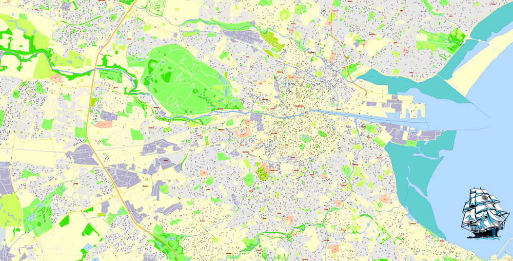
The River Liffey divides the city in two, between the Northside and the Southside. The Liffey bends at Leixlip from a northeasterly route to a predominantly eastward direction, and this point also marks the transition to urban development from more agricultural land usage.
Two secondary rivers further divide the city – the River Tolka, running southeast into Dublin Bay, and the River Dodder running northeast to near the mouth of the Liffey, and these and the Liffey have multiple tributaries. A number of lesser rivers and streams also flow to the sea.
Two canals – the Grand Canal on the southside and the Royal Canal on the northside – ring the inner city on their way from the west and the River Shannon.
Cultural divide
A north-south division once, to some extent, traditionally existed, with the River Liffey as the divider. The Northside was generally seen as working class to middle class, while the Southside was seen as middle class to upper-middle class, although containing “pockets” of working class life. There have also been some social divisions evident between the coastal suburbs in the east of the city, and the newer developments further to the west.
In some tourism and real-estate marketing contexts, inner Dublin is sometimes divided into a number of “quarters” or districts. These include, the ‘Medieval Quarter’ (in the area of Dublin Castle, Christ Church and St Patrick’s Cathedral and the old city walls), the ‘Georgian Quarter’ (including the area around St Stephen’s Green, Trinity College, and Merrion Square), the ‘Docklands Quarter’ (around the Dublin Docklands and Silicon Docks), the ‘Cultural Quarter’ (around Temple Bar), and ‘Creative Quarter’ (between South William Street and George’s Street).
Dublin
Capital of the Republic of Ireland
Dublin, capital of the Republic of Ireland, is on Ireland’s east coast at the mouth of the River Liffey. Its historic buildings include Dublin Castle, dating to the 13th century, and imposing St Patrick’s Cathedral, founded in 1191. City parks include landscaped St Stephen’s Green and huge Phoenix Park, containing Dublin Zoo. The National Museum of Ireland explores Irish heritage and culture.
Area: 115 km²
Free vector maps:

Free download printable map Europe vector Adobe Illustrator >>>
Free download printable PDF map Europe vector Adobe PDF >>>

 Author: Kirill Shrayber, Ph.D. FRGS
 editable Layered Adobe Illustrator")

