Extended Description of the Vector Map
Printable Vector Map Dublin Ireland, exact high detailed editable layered Adobe Illustrator scalable, editable text/curves format all names, 16 MB ZIP
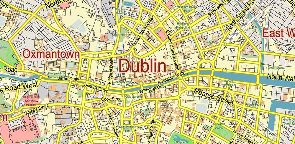
Names principal streets, buildings, ready for print size 36×24 inches
Map for design, printing, arts, projects, presentations, for architects, designers, and builders, business, logistics.
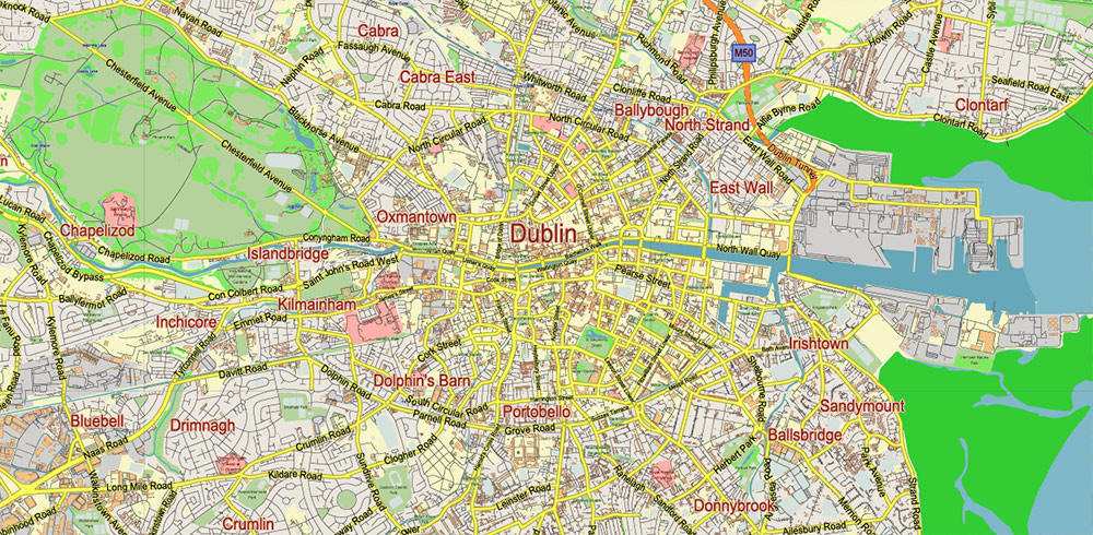
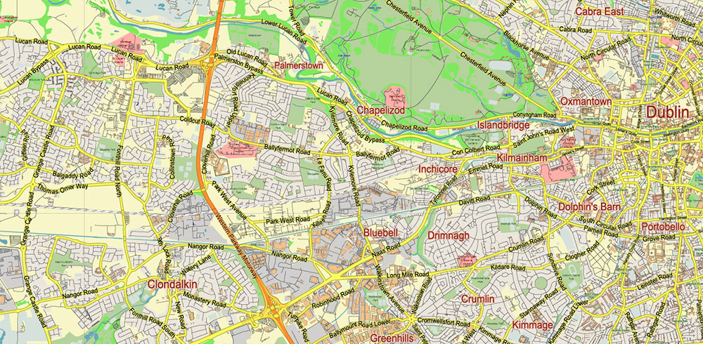
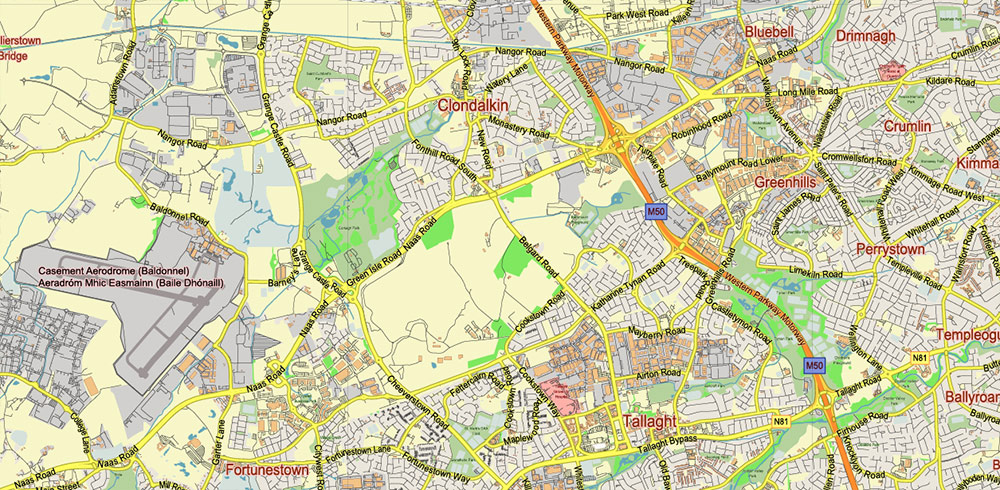
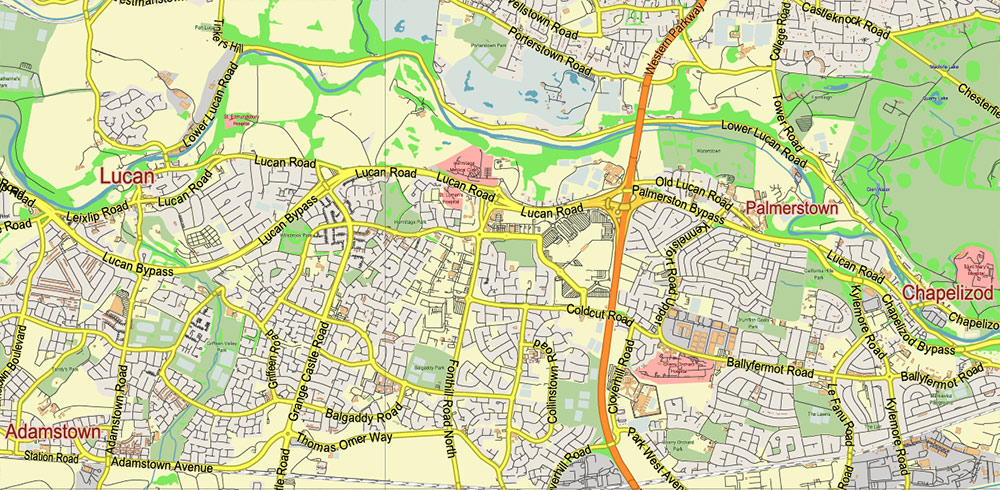
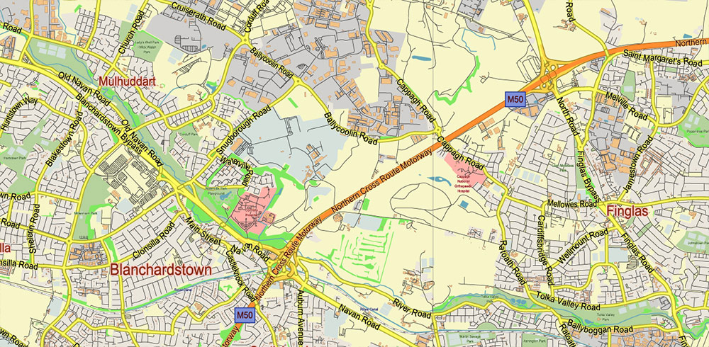
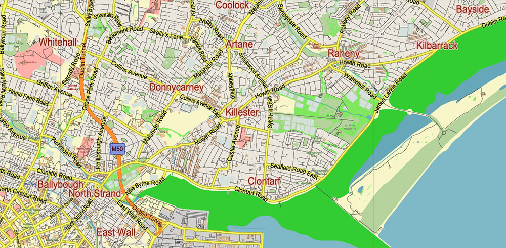
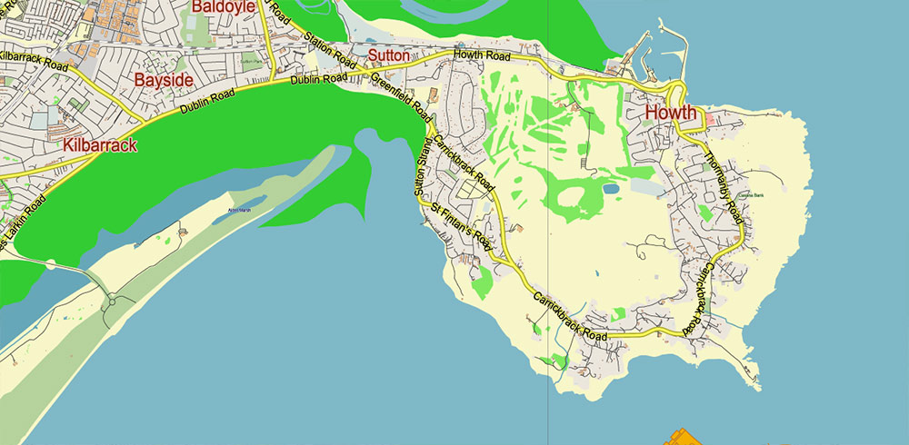
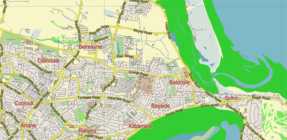
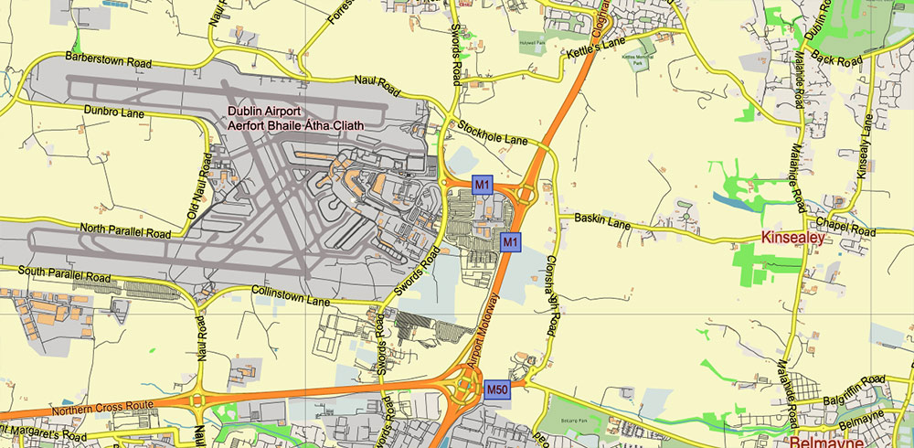
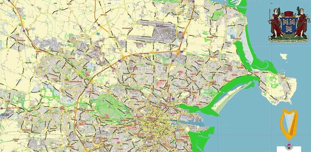
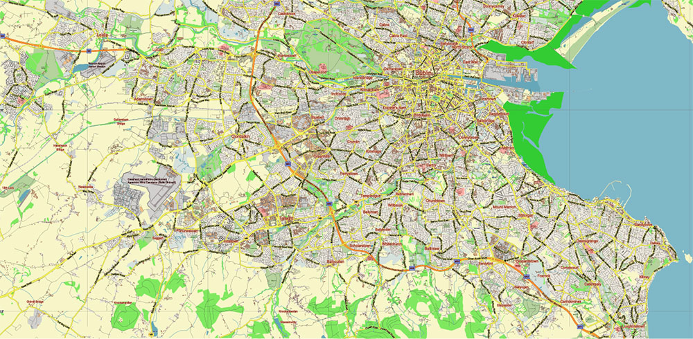
The most exact and detailed map of Dublin Ireland + nearest towns
Map for editing and High-Quality Printing
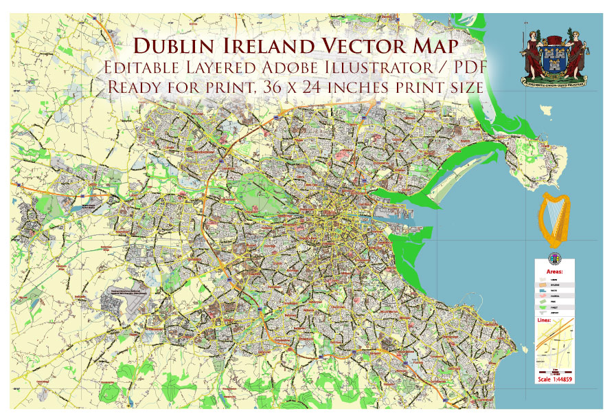
Dublin Ireland Vector Map detailed editable Layered Adobe Illustrator ready for print size 36×24 inches
Layers list:
- Legend
- Grids
- Labels of Roads
- Names Main Streets
- Names Objects
- Names Places
- Main Streets and Roads
- Residential roads and streets
- Buildings
- Railroads
- Airports and Heliports
- Landuse areas
- Water objects (areas)
- Waterways
- Sea polygons
- Background
Dublin Ireland Vector Map detailed editable Layered Adobe Illustrator ready for print size 36×24 inches
Dublin Ireland Vector Map detailed editable Layered Adobe Illustrator ready for print size 36×24 inches
Dublin Ireland Vector Map detailed editable Layered Adobe Illustrator ready for print size 36×24 inches
Dublin Ireland Vector Map detailed editable Layered Adobe Illustrator ready for print size 36×24 inches
Dublin Ireland Vector Map detailed editable Layered Adobe Illustrator ready for print size 36×24 inches
Dublin Ireland Vector Map detailed editable Layered Adobe Illustrator ready for print size 36×24 inches
Dublin Ireland Vector Map detailed editable Layered Adobe Illustrator ready for print size 36×24 inches
Dublin Ireland Vector Map detailed editable Layered Adobe Illustrator ready for print size 36×24 inches
Dublin Ireland Vector Map detailed editable Layered Adobe Illustrator ready for print size 36×24 inches
Dublin Ireland Vector Map detailed editable Layered Adobe Illustrator ready for print size 36×24 inches
Dublin Ireland Vector Map detailed editable Layered Adobe Illustrator ready for print size 36×24 inches
Dublin Ireland Vector Map detailed editable Layered Adobe Illustrator ready for print size 36×24 inches

 Author: Kirill Shrayber, Ph.D. FRGS
 editable Layered Adobe Illustrator")


