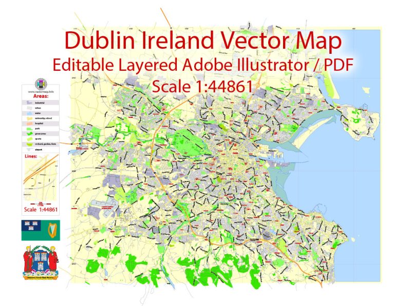
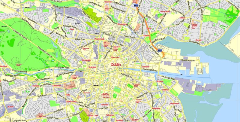
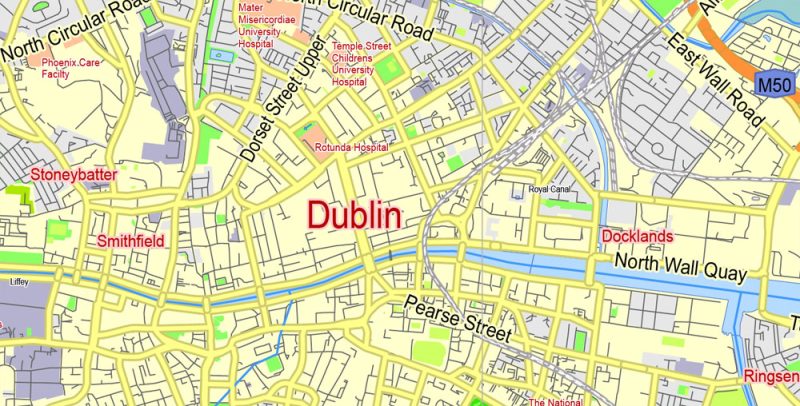
Extended Description of the Vector Map
Printable PDF Vector Map of Dublin Ireland Low detailed City Plan scale 1:44861 full editable Adobe PDF Street Map in layers, scalable, text format all names, 13 MB ZIP
Principal street names, Main Objects, Buildings. Map for design, printing, arts, projects, presentations, for architects, designers, and builders, business, logistics.
Layers: color_fills, water, streets_roads, labels_roads, names_objects, names_streets, names_places, arrows_streets, buildings, grids, legend, etc.
The most exact and detailed map of the city in scale.
For Editing and High-Quality Printing
Dublin
The capital of the Republic of Ireland
Dublin, capital of the Republic of Ireland, is on Ireland’s east coast at the mouth of the River Liffey. Its historic buildings include Dublin Castle, dating to the 13th century, and imposing St Patrick’s Cathedral, founded in 1191. City parks include landscaped St Stephen’s Green and huge Phoenix Park, containing Dublin Zoo. The National Museum of Ireland explores Irish heritage and culture.
Area: 115 km²
Population: 527,612 (2011) United Nations
Dublin Map Vector Ireland Exact City Plan Low detailed Street Map editable Adobe Illustrator in layers
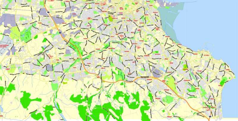
Dublin Map Vector Ireland Exact City Plan Low detailed Street Map editable Adobe Illustrator in layers
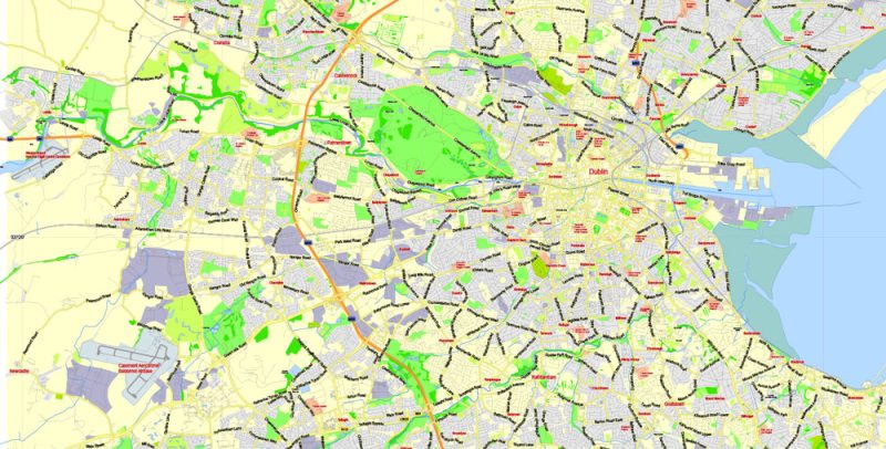
Dublin Map Vector Ireland Exact City Plan Low detailed Street Map editable Adobe Illustrator in layers
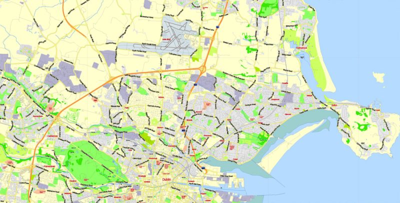
Dublin Map Vector Ireland Exact City Plan Low detailed Street Map editable Adobe Illustrator in layers
Dublin Map Vector Ireland Exact City Plan Low detailed Street Map editable Adobe Illustrator in layers
Dublin Map Vector Ireland Exact City Plan Low detailed Street Map editable Adobe Illustrator in layers


 Author: Kirill Shrayber, Ph.D. FRGS
 editable Layered Adobe Illustrator")

