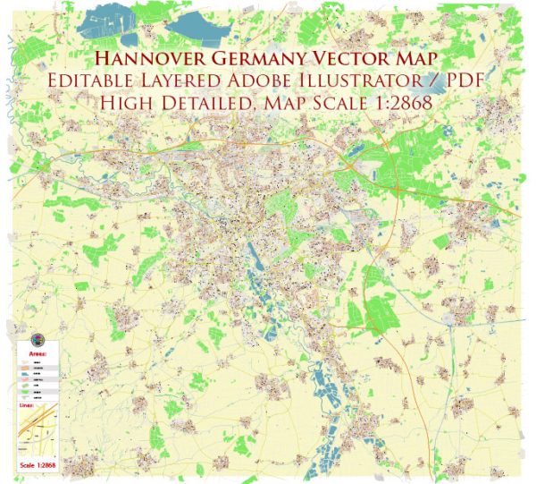
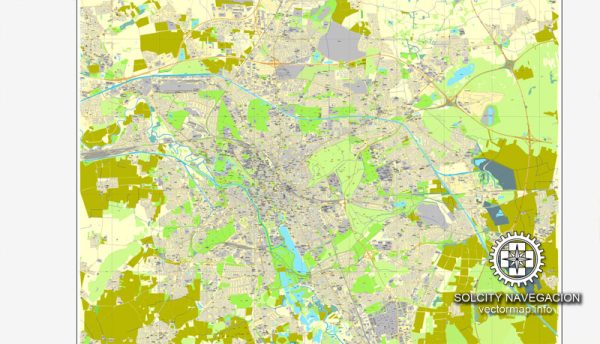
Vector Maps of the Hanover : the capital and largest city of the German state of Lower Saxony. Its 535,000 inhabitants make it the 13th-largest city in Germany as well as the third-largest city in Northern Germany after Hamburg and Bremen.
Area: 204 km²
Elevation: 55 m
Instant download archives: royalty free, editable vector maps of Hanover Germany in high resolution digital PDF and Adobe Illustrator format.
All of our editable Hanover Germany vector maps are digital files,
which can be instantly downloaded in editable PDF or Adobe Illustrator format.
Objects on maps are usually divided into layers according to their types – lines, polygons, street names, object names (see map description!!!!)
Each of our Hanover Germany digital maps is available in Adobe Illustrator or editable PDF format, (or on request in any other known format for the same price)
which use a vector approach to display images,
you can easily enlarge any part of our maps without compromising text, line or graphic quality,
with any increase or decrease ratio.
Using a vector graphics editor such as Adobe Illustrator, CorelDraw, Inkscape, or Freehand
you can easily crop parts of the map, add custom characters, and change colors and font attributes as needed.
We have a variety of Hanover Germany vector maps with different levels of detail, from simple empty paths to highly detailed maps with roads and terrain layers.
Don’t see exactly what you’re looking for? Contact us to receive a special offer for an individual Hanover Germany map for your project.
DE: Sofort-Download-Archive: lizenzfreie, bearbeitbare Vektorkarten von Hanover Deutschland im hochauflösenden digitalen PDF– und Adobe Illustrator-Format.
Alle unsere editierbaren Vektorkarten von Hanover Deutschland sind digitale Dateien, die sofort im bearbeitbaren PDF– oder Adobe Illustrator-Format heruntergeladen werden können.
Objekte auf Karten werden normalerweise nach ihrem Typ in Ebenen eingeteilt – Linien, Polygone, Straßennamen, Objektnamen (siehe Kartenbeschreibung!!!!)
Jede unserer digitalen Karten von Hanover Deutschland ist im Adobe Illustrator– oder bearbeitbaren PDF-Format erhältlich (oder auf Anfrage in jedem anderen bekannten Format zum gleichen Preis).
die einen Vektoransatz verwenden, um Bilder anzuzeigen,
Sie können jeden Teil unserer Karten ganz einfach vergrößern, ohne die Text-, Linien- oder Grafikqualität zu beeinträchtigen.
mit einem beliebigen Erhöhungs- oder Verringerungsverhältnis.
Verwenden Sie einen Vektorgrafik-Editor wie Adobe Illustrator, CorelDraw, Inkscape oder Freehand
Sie können ganz einfach Teile der Karte zuschneiden, benutzerdefinierte Zeichen hinzufügen und Farben und Schriftattribute nach Bedarf ändern.
Wir haben eine Vielzahl von Hanover-Deutschland-Vektorkarten mit unterschiedlichen Detailstufen, von einfachen leeren Wegen bis hin zu hochdetaillierten Karten mit Straßen und Geländeebenen.
Sehen Sie nicht genau das, wonach Sie suchen? Kontaktieren Sie uns, um ein spezielles Angebot für eine individuelle Hanover-Deutschland-Karte für Ihr Projekt zu erhalten.


 Author: Kirill Shrayber, Ph.D.