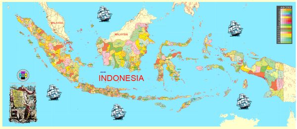
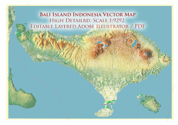
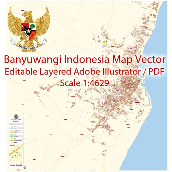
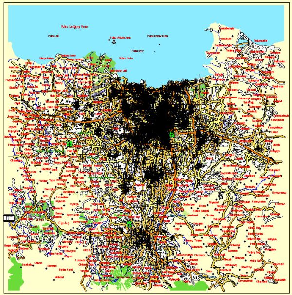
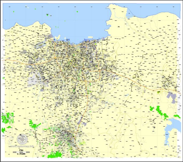
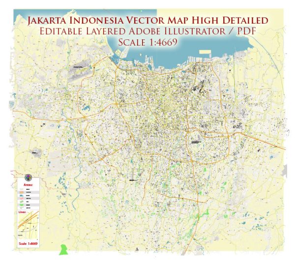
Indonesia City and Country Maps Vector in the Adobe Illustrator, PDF and other vector formats for publishing, design, printing, media, publications, arts, projects, presentations, for architects, designers and builders, business, logistics. The most exact and detailed maps.
For printing LARGE (WALL) or SMALL (A4) format (please, see the preview and descriptions). DWG, DXF, CDR, ESRI Shapes and other formats.
Map Data Specification
-
Data type: Vector cartographic dataset
-
Geometry: Polylines and polygons
-
Coordinate system: WGS84 geographic coordinate system
-
Editing compatibility: Adobe Illustrator and vector graphic editors
-
Data structure: Layered map file suitable for design and print workflows

 Author: Kirill Shrayber, Ph.D. FRGS