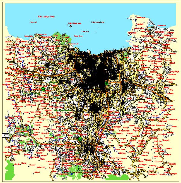
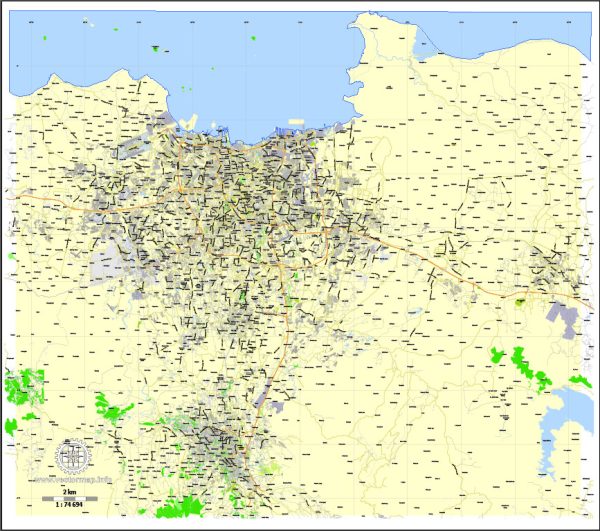
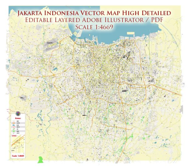
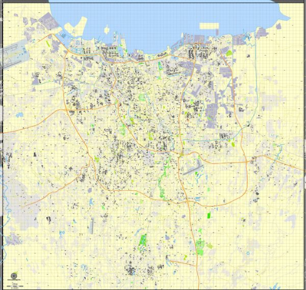
Vector Maps of the Jakarta : Indonesia’s massive capital, sits on the northwest coast of the island of Java. A historic mix of cultures – Javanese, Malay, Chinese, Arab, Indian and European – has influenced its architecture, language and cuisine. The old town, Kota Tua, is home to Dutch colonial buildings, Glodok (Jakarta’s Chinatown) and the old port of Sunda Kelapa, where traditional wooden schooners dock.
Area: 661.5 km²
Elevation: 8 m
Download royalty free, editable vector maps of Jakarta Indonesia in high resolution digital PDF and Adobe Illustrator format.
Jakarta, Indonesia, is characterized by a network of waterways, bridges, and main streets. Here is an overview of some principal waterways, notable bridges, and main streets in Jakarta:
- Principal Waterways:
- Ciliwung River: One of the main rivers in Jakarta, the Ciliwung River flows through the city and plays a crucial role in its drainage system. However, it has faced challenges such as pollution and flooding.
- Pesanggrahan River: Another significant river in Jakarta, the Pesanggrahan River, runs through the southwestern part of the city and is a part of the flood management system.
- Jakarta Bay: The city is located on the northwestern coast of Java, facing Jakarta Bay. The bay plays a vital role in the city’s maritime activities and is undergoing reclamation projects to create new areas for development.
- Notable Bridges:
- Jembatan Kota Intan (Diamond City Bridge): This historical bridge, also known as Kota Intan Bridge, spans the Kali Besar River in the old town area of Jakarta (Kota Tua).
- Jembatan Ampera (Ampera Bridge): While Ampera Bridge is more associated with Palembang, there’s also an Ampera Bridge in Jakarta. It spans the Ciliwung River in the Menteng area.
- Jembatan Layang Pasupati (Pasupati Flyover): This elevated toll road and bridge system is a prominent feature in Jakarta, connecting the city’s eastern and western parts.
- Jembatan Semanggi (Semanggi Bridge): Located near the Semanggi Interchange, this bridge connects the Sudirman and Gatot Subroto avenues.
- Main Streets:
- Jalan Thamrin and Jalan Sudirman: These two parallel avenues form the central business district of Jakarta, with high-rise buildings, commercial centers, and government offices.
- Jalan MH Thamrin: A major thoroughfare running through the heart of Jakarta, lined with shopping malls, hotels, and office buildings.
- Jalan Gatot Subroto: An important avenue connecting the southern and central parts of Jakarta, hosting business centers, hotels, and government offices.
- Jalan Rasuna Said: Located in the Kuningan business district, this street is known for its office buildings, embassies, and residential areas.
Please note that Jakarta’s infrastructure is subject to ongoing development and changes. For the most up-to-date information, it’s recommended to check with local authorities or official sources.
Vectormap.Net provide you with the most accurate and up-to-date vector maps in Adobe Illustrator, PDF and other formats, designed for editing and printing. Please read the vector map descriptions carefully.


 Author: Kirill Shrayber, Ph.D.