Vector Maps: just full, complete and exact maps of cities,
including suburbs and neighbourhoods
[vc_asp_search]Maps of cities in vector formats: exact editable printable up-to-dateAdobe Illustrator and PDF Map Clipart for Design and Printing
Here you will find all vector maps in one place.
Or probably looking for something special??? You will get it in less than 24 hours, just let us know.
These digital vector maps in Adobe Illustrator, PDF, CorelDraw and other formats are latest, exact and detailed editable city maps. Perfect for publishing, design works, large format printing, presentations, architectural and urban projects, business and logistics. You can edit and publish these maps without limitations, it is Royalty Free. We design maps since the XVII century.
Different viewable options: G-View, City Plan, Atlas
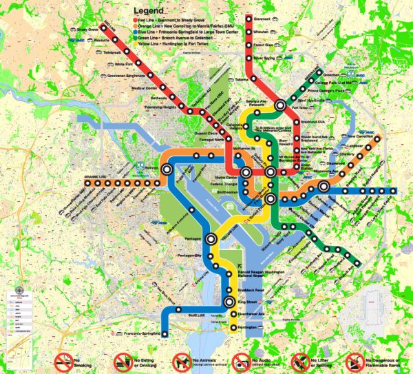
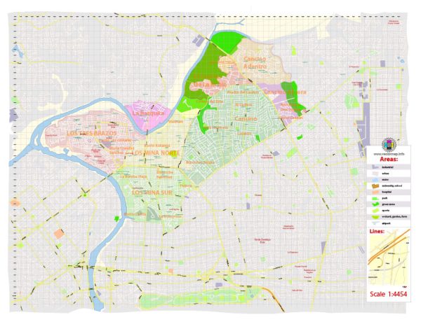
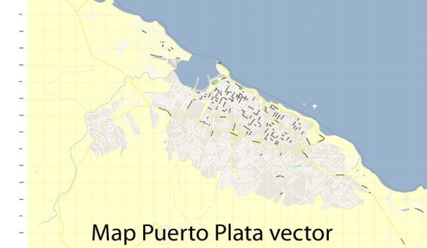
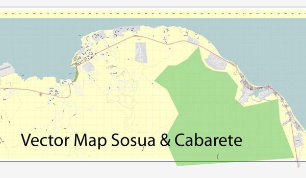
G-View: easy to edit and print: vectorial city plan map in PDF or Ai formats, uses the GoogleMaps display style, simple and beautiful, layered, and contains: streets, rivers and main objects.
This graphic files are usually separated into layers – color fills, streets and roads, arrows of street directions, road labels, objects, street names, object names, places names (such as city and town, suburb, borough, district etc.), grids, scales and map legend. All names are in the text format. Please, see the preview gallery of each map.
Scales of G-View: Level 13 – 2,000 meters, level 14 – 1,000 meters, level 15 – 500 meters, level 16 – 250 meters, level 17 – 100 meters. In practice – level 13 means that the city map will fit in the print size up to 10 inches, without any loss of quality.
The Level 17 PRINT FORMAT usually is a LARGE A0 (33.1″ x 46.8″), A1 (23.4″ x 33.1″), or a WALL print size.
G-View names display: Level 13 – Interstate, urban highways, level 14 – Interstate, urban highways, major streets, level 15 – Interstate, urban highways, major streets, the average streets, level 15 – Interstate, urban highways, major streets, average streets, small streets partially, levels 16-17 – displays all except buildings + arrows of the street directions.
Standard City Plan: Vector map consists of 1-4 files and usually includes the specific city and suburbs. Most City Plan vector maps are provided in full version – containing all buildings, streets, city parks, rivers, lakes, and other important objects. All types of objects have unique universal parameters – large streets are displayed with one type of lines, small streets – with other type, highways – the third type, etc., that makes possible mass editing of all objects of the same type. All vector map names use textual format, and are fully editable.
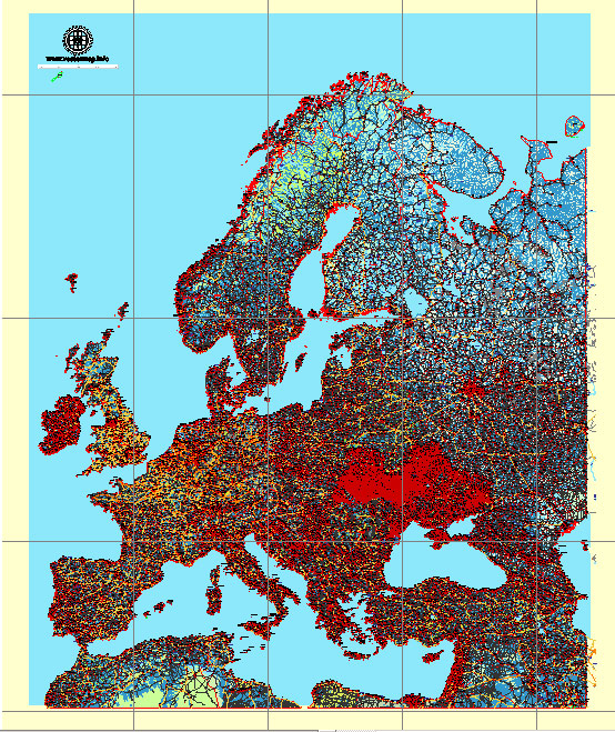
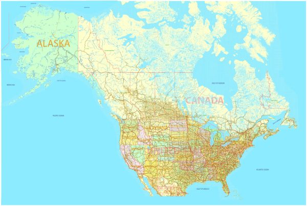
Atlas maps: vector maps normally include the nearest cities and provinces, consisting of several (25-100) map files, also containing a lot of additional cartographic information, and are mainly for technicians and map geeks.
DWG, DXF, ESRI SHAPES and other formats: We have all vector maps you need. Write us and we`ll send it in less than 24 hours with no extra charge.
If you need something special or just can`t find a map, please let us know [contact us]


 Author: Kirill Shrayber, Ph.D. FRGS