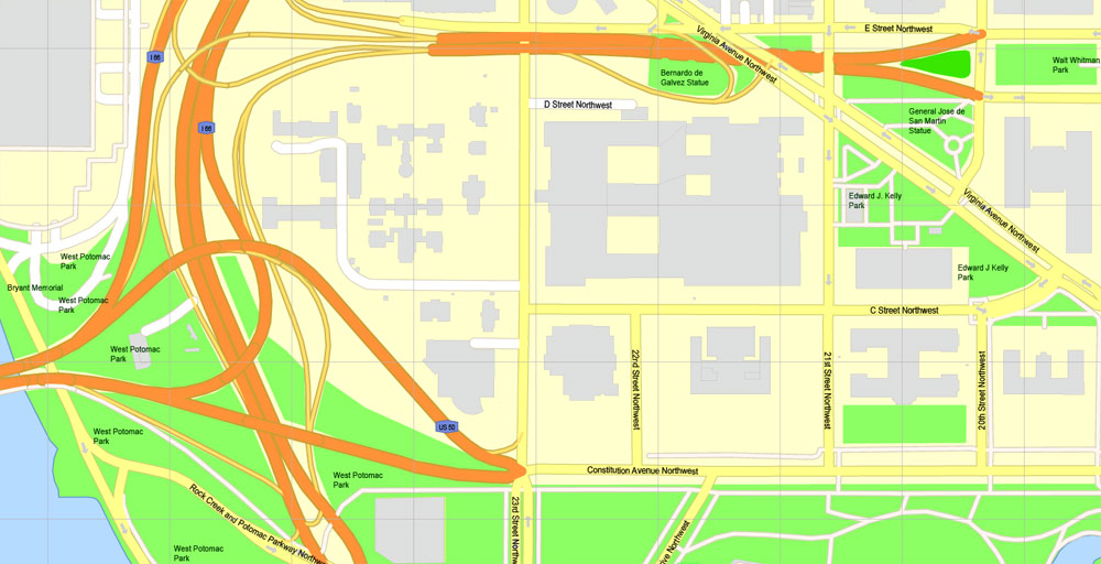
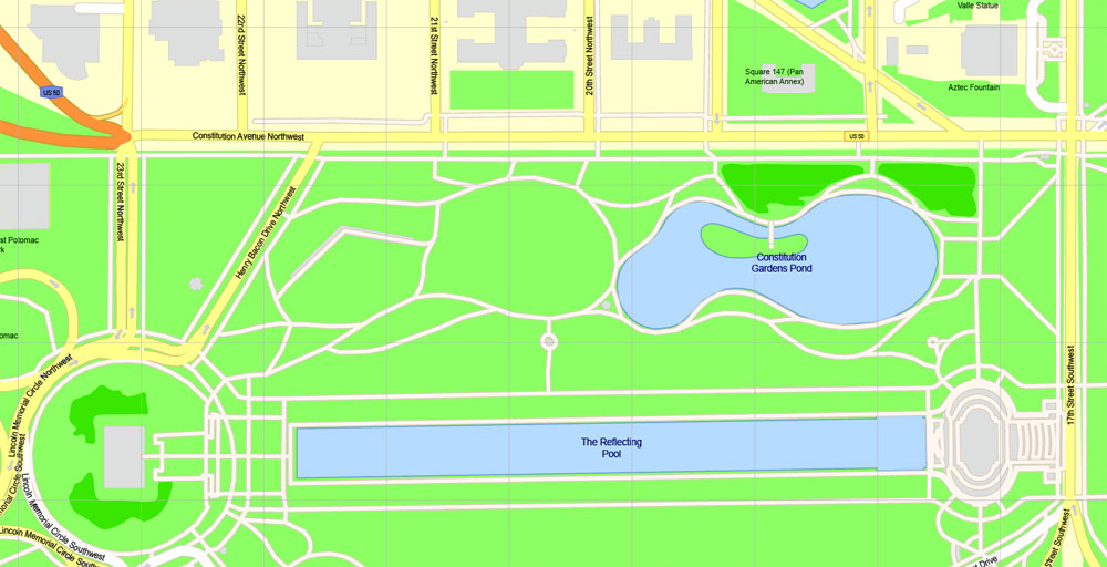
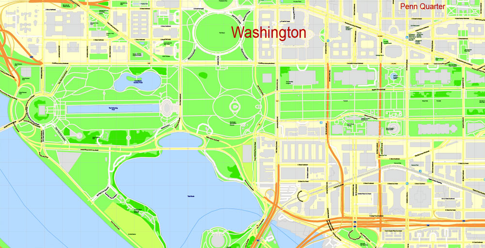
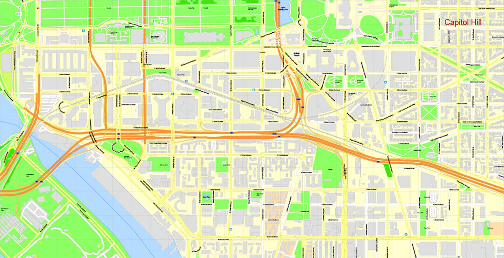
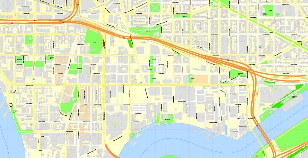
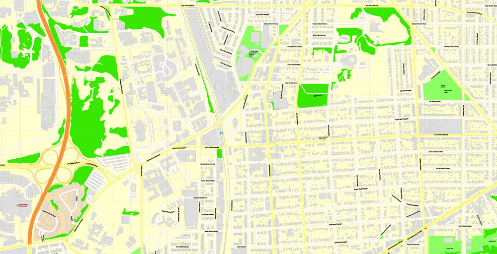
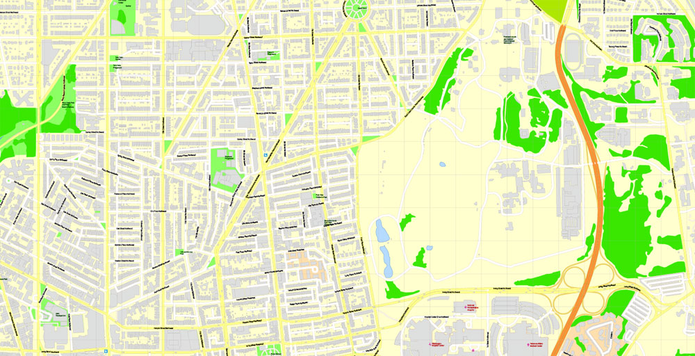
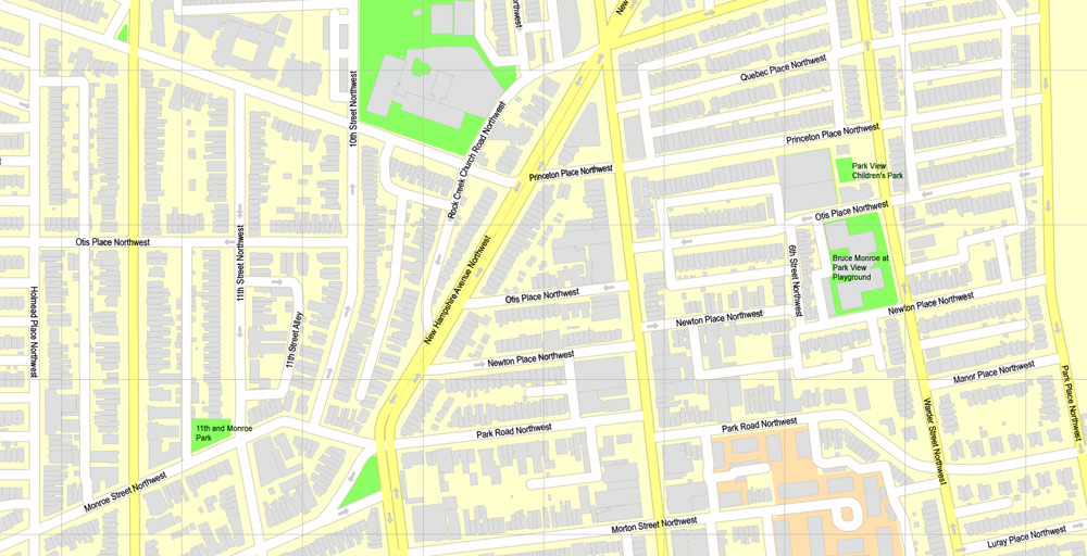
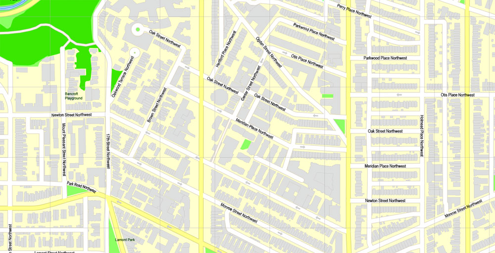
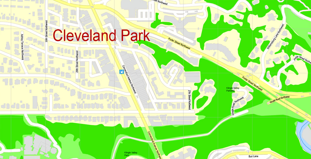
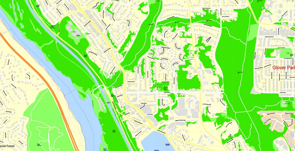
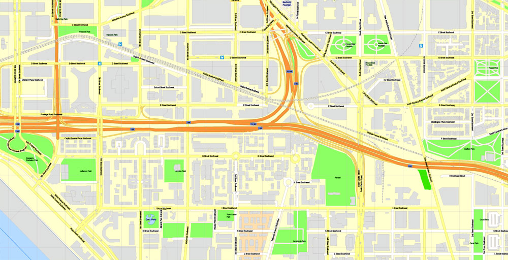
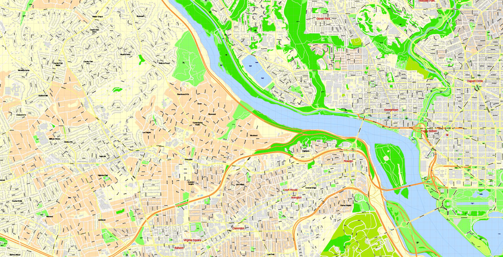
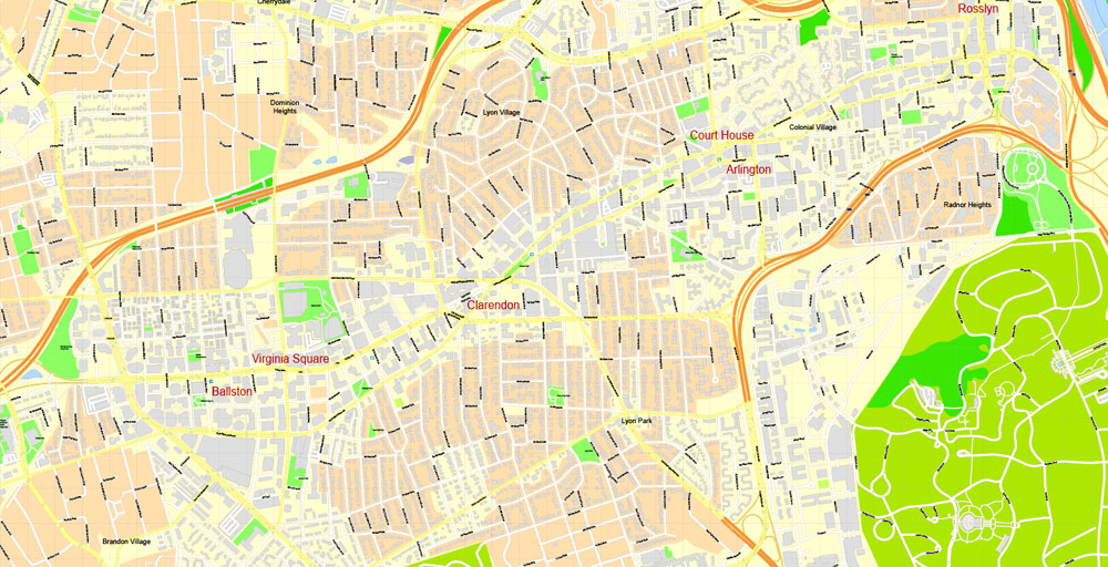
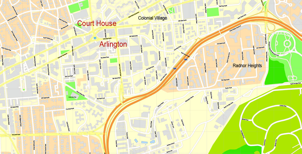
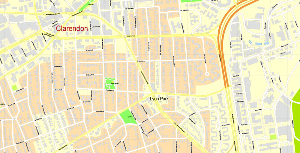
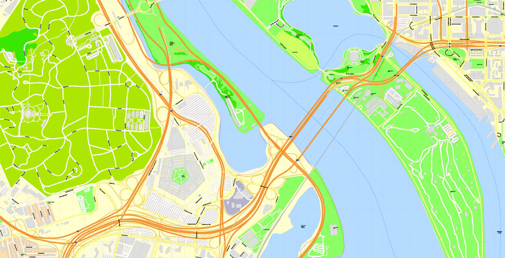
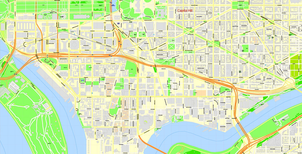
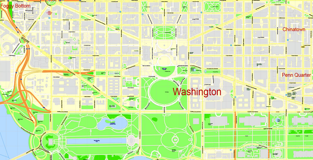
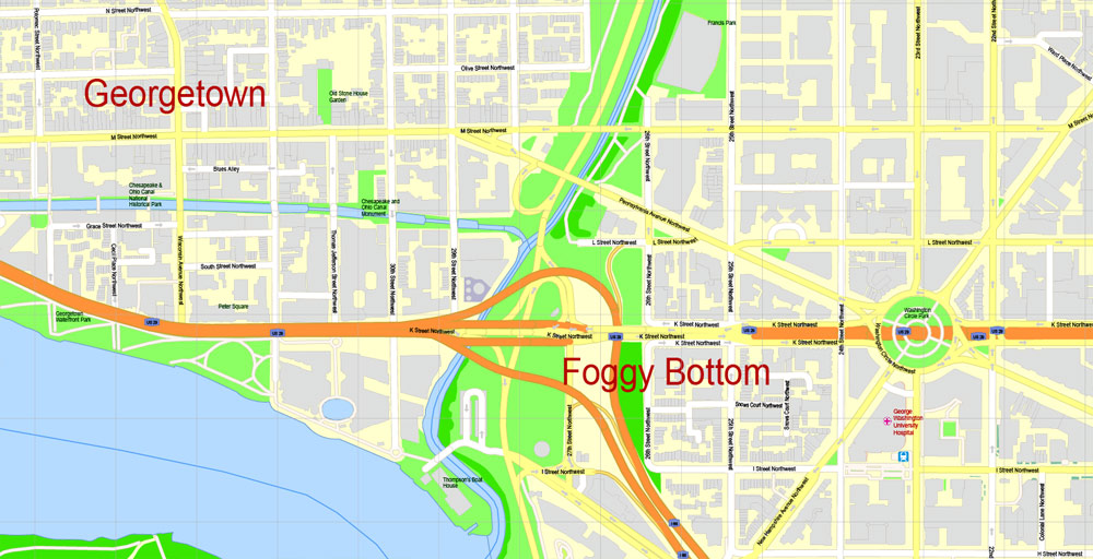
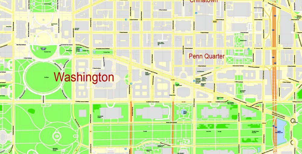
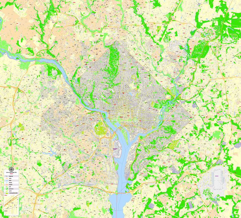
Printable PDF Map Washington DC + Arlington, US, exact vector Map street G-View City Plan High Detailed + all buildings, full editable, Adobe PDF, full vector, scalable, editable text format street names, 164 Mb ZIP
All streets named, Main Objects, ALL buildings. Map for design, printing, arts, projects, presentations, for architects, designers, and builders, business, logistics.
Layers: color fills, streets_roads, arrows_streets, labels_roads, objects, names objects,
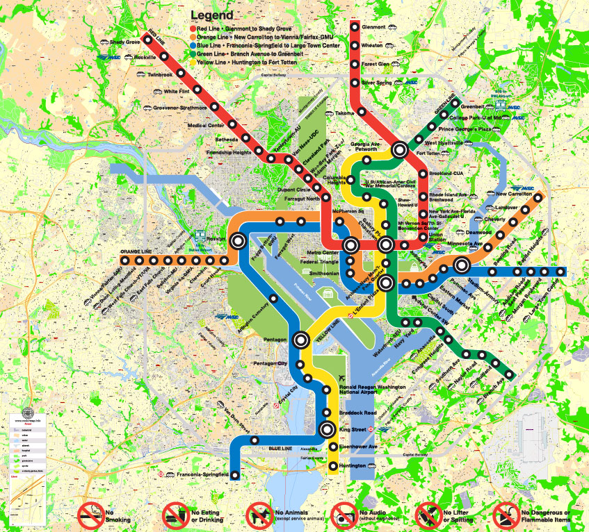
+ metro/subway map, names_streets, names_places, grids, legend.
The most exact and detailed map of the city.
For Editing and High-Quality printing
DWG, DXF, CDR and other formats – on request, the same price, please, contact
Washington DC + Arlington, USA.
This vector map of Washington city is used as a basis for design, editing, and further printing.
This is the most detailed, exact map of Washington city for high-quality printing and polygraphy. You can always clarify the map development date by contacting us.
For your convenience, all objects on Washington vector city map are divided into layers. And the editing is very easy – colors, lines, etc.
You can easily add any objects needed (e.g. shops, salons, sale points, gas station or attraction) on any layer of Washington vector map.
One of the advantages of Washington city vector maps of our production is the relevance of cartographic data, we constantly update all our products.
Washington, D.C., formally the District of Columbia and commonly referred to as Washington or D.C., is the capital of the United States. Founded after the American Revolution as the seat of government of the newly independent country, Washington was named after George Washington, first President of the United States and Founding Father.
This vector map of Washington city is used by:
designers, layout designers, printers, advertisers and architects. Our product – vector maps – is designed for further editing and printing in large formats – from @Wall format (a few meters) to A-0 and A-1, A-2, A-3.
The Washington city map in vector format is used for design, urban planning, presentations and media visualizations.
The advertising and presentation map of Washington city (usually the final designer marks the routes, and puts the client’s objects (shops, saloons, gas stations etc.)
The undoubted advantage is that people will NEVER throw out this advertising product – the map. In fact, as an advertising medium, a city map is the most “long-playing” of the well-known polygraphic advertising media, with the longest lifespan, and the maximum number of interactions with the customer.
For travelers, maps are sold at the airports and gas stations around the world. Often the source is our vector maps.
Take a look, who purchases our vector maps of Washington city in “Our Clients and Friends” page – these are large and small companies, from super-brands like Volvo and Starbucks, to small design studios and printing houses.
Printable Map Washington DC, US, exact vector Map street G-View City Plan Level 17 (100 meters scale) + all buildings, full editable, Adobe Illustrator
It’s very easy to work with vector maps of Washington city, even for a not very experienced designer who can turn on and off the map layers, add new objects, change the colors of fill and lines according to customer requirements.
The undoubted advantage of Washington city vector maps in printing is an excellent and detailed visualization, when customer can expand a large paper map and instantly define his location, find a landmark, an object or address on map, unlike using the popular electronic formats of Google and Yandex maps for example.
Printable vector maps of Washington city are much more convenient and efficient than any electronic maps on your smartphone, because ALL DETAILS are displayed in the entire space of Washington city map.
Useful tips on working with vector maps of cities and countries in Adobe Illustrator.
«V» – launches the Selection tool (cursor, black arrow), which makes active any vector line.
«А» – launches the Direct Selection tool (white cursor), allows you to select curve elements and drag them to the desired place.
«R» – activates the Rotate tool, which helps you rotating selected objects around the center point by 360 degrees.
«E» – gives you the opportunity to use the Eraser tool and erase unnecessary parts.
«X» – switches between Fill and Stroke in the Tools section. Try to get used to this hot key and
you will quickly understand that you can’t live and work without it.
Guides are not limited to vertical and horizontal in Adobe Illustrator. You can also create a diagonal guide for example. Moreover, you can turn any contours into guides. Select the outline and go to View > Guides > Make Guides (Create Guides), or simply press Cmd/Ctrl + 5. You can also turn the guides back into an editable object. Go to menu, View > Guides > Unlock Guides (Release Guides), select the guide you want to edit and select View > Guides > Release Guides (Reset Guides), or just press Cmd/Ctrl + Option / Alt + 5).
Washington is the principal city of the Washington metropolitan area, which has a population of 6,131,977. As the seat of the United States federal government and several international organizations, the city is an important world political capital. Washington is one of the most visited cities in the world, with more than 20 million annual tourists.
You will probably want to change the color scheme used on our Washington vector city map.
To quickly and effectively play with colors.
Of course, you can do it manually, all objects in our Washington city vector map are divided according to types and layers, and you can easily change the color gamma of vector objects in groups and layers.
But there is more effective way of working with the whole VECTOR MAP of Washington city and all layers:
The overview dialog «Edit colors»/«Repaint Graphic Object» (this dialog box name can change depending on the context):
If you have selected a part or a layer of Washington city vector map and open the dialog box by clicking the icon in the Control panel, on the Samples palette or the Color Catalog, or if you choose Edit > Edit Colors> Repaint Graphic Object, then the «Repaint Graphic Object» dialog box appears, and you get access to «Assign» and «Edit» tabs.
If a picture or a map fragment is not selected, and you open the dialog box by clicking the icon in the Control panel, on the Samples palette or in the Color Catalog, the «Edit Colors» dialog box appears and you can only access the «Edit» tab.
The signing of the Residence Act on July 16, 1790, approved the creation of a capital district located along the Potomac River on the country’s East Coast. The U.S. Constitution provided for a federal district under the exclusive jurisdiction of the Congress, and the District is therefore not a part of any state. The states of Maryland and Virginia each donated land to form the federal district, which included the pre-existing settlements of Georgetown and Alexandria. The City of Washington was founded in 1791 to serve as the new national capital. In 1846, Congress returned the land originally ceded by Virginia; in 1871, it created a single municipal government for the remaining portion of the District.
Regardless of the name at the top of the dialog box, the right-hand side always displays the color group of the current document, as well as two default color groups: Print Color and Grayscale. These color groups can be selected and used any time.
Create and edit color groups of Washington city vector map, and also assign colors using the «Edit Colors»/ а «Repaint Graphic Object» dialog box.
A. Creating and editing of a color group on the «Edit» tab
B. Assigning colors on the «Assign» tab
C. Select a group of colors from the «Color groups» list
The option «Repaint a graphic object» in the lower part of the dialog box allows you to preview the colors on a selected layer of Vector map, or a group of elements, and specify whether its colors will be redefined when the dialog box is closed.
The main areas of the dialog box are:
«Edit»
The «Edit» tab is designed to create a new or edit the existing color groups.
The harmony rules Menu and the Color Wheel are used to conduct experiments with color harmonies. The color wheel shows how colors are related in color harmony, and the color bars allow you to view and manipulate an individual color values. In addition, you can adjust the brightness, add and remove colors, save color groups and view colors on the selected Vector Map of Washington city or a separated layers.
«Assign»
The «Assign» tab is used to view and control on how the original colors are replaced with colors from the color group like your corporate colors in the Vector Map of Washington city.
The assign color ability is provided only if the entire map, layer or fragment is selected in the document. You can specify which of new colors replace the current colors, whether the spot colors should be preserved and how colors are replaced (for example, you can replace colors completely or changing the color tone while maintaining the brightness). The «Assign» tab allows you to redefine colors in the Vector Map of Washington city, or in separate layers and fragments using the current color group or reducing the number of colors in the current Vector Map.
Color groups
Is a list of all saved color groups for current document (the same groups appear in the «Samples» palette). You can edit and delete the existing color groups, as well as creating a new ones using the list of “Color Groups” in the dialog box. All changes appear in the «Samples» palette.
The highlighted color group shows, which color group is currently edited.
Washington had an estimated population of 693,972 as of July 2017, making it the 20th largest American city by population. Commuters from the surrounding Maryland and Virginia suburbs raise the city’s daytime population to more than one million during the workweek. The Washington metropolitan area, of which the District is the principal city, has a population of over 6 million, the sixth-largest metropolitan statistical area in the country.
Any color group can be selected and edited, or used to redefine the colors in the selected vector map of Washington city, its fragments or elements.
Saving a color group adds this group to the specified list.
Opening the «Edit Colors»/«Repaint Graphic Object» dialog box.
Open the «Edit Colors»/«Repaint Graphic Object» dialog box using one of the following methods:
«Edit»> «Edit Colors»> «Repaint Graphic object» or «Repaint With Style».
Use these commands if you need to edit the colors in the selected vector map of Washington city.
«Repaint Graphic object» button on the «Control» panel.
Use this button if you need to adjust colors of Washington city vector map using the а «Repaint graphic object» dialog box.
All three branches of the U.S. federal government are centered in the District: U.S. Congress (legislative), President (executive), and the U.S. Supreme Court (judicial). Washington is home to many national monuments and museums, primarily situated on or around the National Mall. The city hosts 177 foreign embassies as well as the headquarters of many international organizations, trade unions, non-profit, lobbying groups, and professional associations, including the Organization of American States, AARP, the National Geographic Society, the Human Rights Campaign, the International Finance Corporation, and the American Red Cross.
The specified button is available if the selected vector map or its fragment contains two or more colors.
Note. This color editing method is convenient for global color adjustment in a vector map, if global colors were not used when creating a City Map of Washington.
The «Edit colors» button or «Edit or apply colors» on the «Color Catalog» palette
Click this button if you need to edit colors on the «Color Catalog» palette or edit and then apply them to the selected Vector Map of Washington city or its fragment.
The «Edit color group» button or «Edit or apply color group» on the «Samples» palette.
Click this button if you need to edit the colors in the specific color group or edit and apply them to the selected Vector Map of Washington city or a group of its elements, for example, the whole layer “Streets and lines”. You can also double-click the color group in the Samples panel to open the dialog box.
Geography
The Washington Metropolitan Area has a population of 6,131,977, as of 2014.
Washington, D.C., is located in the mid-Atlantic region of the U.S. East Coast. Due to the District of Columbia retrocession, the city has a total area of 68.34 square miles (177.0 km2), of which 61.05 square miles (158.1 km2) is land and 7.29 square miles (18.9 km2) (10.67%) is water. The District is bordered by Montgomery County, Maryland, to the northwest; Prince George’s County, Maryland, to the east; and Arlington and Alexandria, Virginia, to the south and west.
If the map file is too large and your computer freezes or even can’t open it quickly:
1. Try to reduce the color resolution of the video card (display) to 256 colors while working with a large map.
2. Using Windows Task Manager, select all the application you don’t need, while working with map, just turn them off.
3. Launch Adobe Illustrator. (DO NOT OPEN the vector map file)
4. Start the Windows Task Manager using administrator rights > Find the “Illustrator” process > set the «real time» priority,
5. Open the file. When you see the LEGACY FONT popup window – click “OK” (do not update). You can restore the TEXT later.
6. Can also be useful: When file is opened – Edit > Settings > Basic Settings > disable smoothing. /// It looks scary, but works quickly)))
We recommend saving the file in Adobe Illustrator 10 version. It’s much more stable when working with VERY BIG size files.
The south bank of the Potomac River forms the District’s border with Virginia and has two major tributaries: the Anacostia River and Rock Creek. Tiber Creek, a natural watercourse that once passed through the National Mall, was fully enclosed underground during the 1870s. The creek also formed a portion of the now-filled Washington City Canal, which allowed passage through the city to the Anacostia River from 1815 until the 1850s. The Chesapeake and Ohio Canal starts in Georgetown and was used during the 19th century to bypass the Little Falls of the Potomac River, located at the northwest edge of Washington at the Atlantic Seaboard fall line.
The highest natural elevation in the District is 409 feet (125 m) above sea level at Fort Reno Park in upper northwest Washington. The lowest point is sea level at the Potomac River. The geographic center of Washington is near the intersection of 4th and L Streets NW.

The District has 7,464 acres (30.21 km2) of parkland, about 19% of the city’s total area and the second-highest percentage among high-density U.S. cities. This factor contributed to Washington, D.C., being ranked as third in the nation for park access and quality in the 2018 ParkScore ranking of the park systems of the 100 most populous cities in the United States, according to the nonprofit Trust for Public Land.

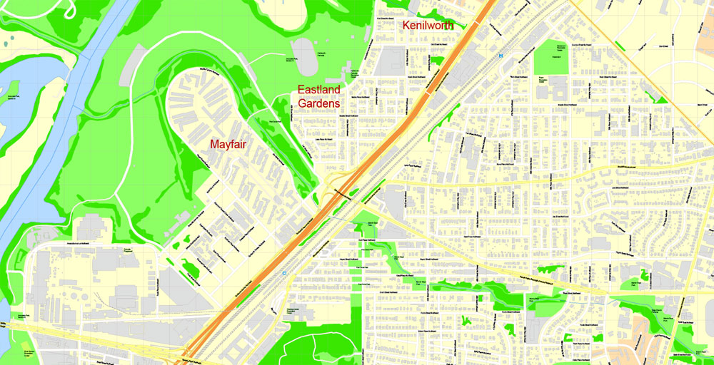
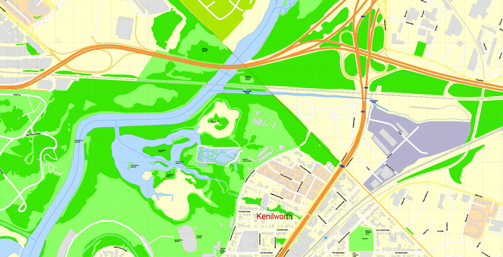
The National Park Service manages most of the 9,122 acres (36.92 km2) of city land owned by the U.S. government. Rock Creek Park is a 1,754-acre (7.10 km2) urban forest in Northwest Washington, which extends 9.3 miles (15.0 km) through a stream valley that bisects the city. Established in 1890, it is the country’s fourth-oldest national park and is home to a variety of plant and animal species, including raccoon, deer, owls, and coyotes. Other National Park Service properties include the C&O Canal National Historical Park, the National Mall and Memorial Parks, Theodore Roosevelt Island, Columbia Island, Fort Dupont Park, Meridian Hill Park, Kenilworth Park and Aquatic Gardens, and Anacostia Park. The D.C. Department of Parks and Recreation maintains the city’s 900 acres (3.6 km2) of athletic fields and playgrounds, 40 swimming pools, and 68 recreation centers. The U.S. Department of Agriculture operates the 446-acre (1.80 km2) U.S. National Arboretum in Northeast Washington.
Washington, D.C., in the United States, is located at 38°53′42″N 77°02′11″W (the coordinates of the Zero Milestone, on The Ellipse). According to the United States Census Bureau, the city has a geographical area of 68.3 square miles (176.9 km2), 61.4 square miles (159.0 km2) of which is land, and the remaining 6.9 square miles (17.9 km2) (10.16%) of which is water.
Washington is surrounded by the states of Virginia (on its southwest side) and Maryland (on its southeast, northeast, and northwest sides); it interrupts those states’ common border, which is the south shore of the Potomac River both upstream and downstream from the District. The portion of the Potomac River that passes Washington is virtually entirely within the District’s border, as the District extends to the south bank. The city contains the historic “federal city”, the territory of which was formerly part of those two adjacent states before they respectively ceded it for the national capital. The land ceded from Virginia was returned by Congress in 1847, so what remains of the modern District was all once part of Maryland.
Topography and geology
The topography of the District of Columbia is very similar to the physical geography of much of Maryland. The District has three major natural flowing bodies of water: the Potomac River and two tributaries, the Anacostia River and Rock Creek. The confluence of the Potomac and Anacostia forms the historic peninsula known as Arsenal Point. The District also includes the Washington Channel, which flows into the junction of the Anacostia and Potomac rivers. There are also three man-made reservoirs: Dalecarlia Reservoir, which crosses over the northwest border of the District from Maryland, McMillan Reservoir near Howard University, and Georgetown Reservoir upstream of Georgetown. A fourth, minor reservoir is at Fort Reno.
Tenleytown.
The highest point in the District of Columbia is 410 feet (125 m) above sea level at Reno Reservoir in Tenleytown. The lowest point is sea level, which occurs along all of the Anacostia shore and all of the Potomac shore except the uppermost mile (the Little Falls-Chain Bridge area). The sea level Tidal Basin rose eleven feet during Hurricane Isabel on September 18, 2003. The geographic center of the District of Columbia is located near 4th Street NW, L Street NW, and New York Avenue NW, not under the Capitol dome as is sometimes stated. (The Capitol does mark the intersection of the District’s four administrative quadrants.)
Other prominent geographical features of Washington, D.C., include Theodore Roosevelt Island, Columbia Island, the Three Sisters, and Hains Point.
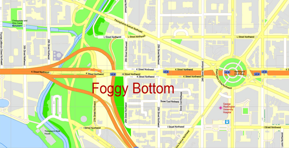
Some areas, especially around the National Mall and parts of Foggy Bottom, were marshes or parts of the river that have been filled in.
Cityscape
Washington, D.C., is a planned city. In 1791, President Washington commissioned Pierre (Peter) Charles L’Enfant, a French-born architect and city planner, to design the new capital. He enlisted Scottish surveyor Alexander Ralston to help lay out the city plan. The L’Enfant Plan featured broad streets and avenues radiating out from rectangles, providing room for open space and landscaping. He based his design on plans of cities such as Paris, Amsterdam, Karlsruhe, and Milan that Thomas Jefferson had sent to him. L’Enfant’s design also envisioned a garden-lined “grand avenue” approximately 1 mile (1.6 km) in length and 400 feet (120 m) wide in the area that is now the National Mall. President Washington dismissed L’Enfant in March 1792 due to conflicts with the three commissioners appointed to supervise the capital’s construction. Andrew Ellicott, who had worked with L’Enfant surveying the city, was then tasked with completing the design. Though Ellicott made revisions to the original plans, including changes to some street patterns, L’Enfant is still credited with the overall design of the city.
A tall red brick building in the center of a city skyline punctuated by steeples and other shorter buildings.
By the early 1900s, L’Enfant’s vision of a grand national capital had become marred by slums and randomly placed buildings, including a railroad station on the National Mall. Congress formed a special committee charged with beautifying Washington’s ceremonial core. What became known as the McMillan Plan was finalized in 1901 and included re-landscaping the Capitol grounds and the National Mall, clearing slums, and establishing a new citywide park system. The plan is thought to have largely preserved L’Enfant’s intended design.
By law, Washington’s skyline is low and sprawling. The federal Height of Buildings Act of 1910 allows buildings that are no taller than the width of the adjacent street, plus 20 feet (6.1 m). Despite popular belief, no law has ever limited buildings to the height of the United States Capitol or the 555-foot (169 m) Washington Monument, which remains the District’s tallest structure. City leaders have criticized the height restriction as a primary reason why the District has limited affordable housing and traffic problems caused by urban sprawl.
The District is divided into four quadrants of unequal area: Northwest (NW), Northeast (NE), Southeast (SE), and Southwest (SW). The axes bounding the quadrants radiate from the U.S. Capitol building. All road names include the quadrant abbreviation to indicate their location and house numbers generally correspond with the number of blocks away from the Capitol. Most streets are set out in a grid pattern with east–west streets named with letters (e.g., C Street SW), north–south streets with numbers (e.g., 4th Street NW), and diagonal avenues, many of which are named after states.
The City of Washington was bordered by Boundary Street to the north (renamed Florida Avenue in 1890), Rock Creek to the west, and the Anacostia River to the east. Washington’s street grid was extended, where possible, throughout the District starting in 1888. Georgetown’s streets were renamed in 1895. Some streets are particularly noteworthy, such as Pennsylvania Avenue, which connects the White House to the Capitol and K Street, which houses the offices of many lobbying groups. Washington hosts 177 foreign embassies, constituting approximately 297 buildings beyond the more than 1,600 residential properties owned by foreign countries, many of which are on a section of Massachusetts Avenue informally known as Embassy Row.
The Baltimore–Washington metropolitan area is a combined statistical area consisting of the overlapping labor market region of the cities of Washington, D.C. and Baltimore, Maryland. The region includes Central Maryland, Northern Virginia, three counties in the Eastern Panhandle of West Virginia, and one county in South Central Pennsylvania. It is the most educated, highest-income, and fourth largest combined statistical area in the United States.
Officially, the area is designated by the Office of Management and Budget (OMB) as the Washington–Baltimore–Arlington, DC–MD–VA–WV–PA Combined Statistical Area. It is composed primarily of two major metropolitan statistical areas (MSA), the Washington–Arlington–Alexandria, DC–VA–MD–WV MSA and the Baltimore–Columbia–Towson, MD MSA. In addition, six other smaller urban areas not contiguous to the main urban area but having strong commuting ties with the main area are also included in the metropolitan area. These are: the Hagerstown–Martinsburg, MD–WV MSA, the Chambersburg–Waynesboro, PA MSA, the Winchester, VA–WV MSA, the California–Lexington Park, MD MSA, the Easton, MD micropolitan statistical area (µSA), and the Cambridge, MD µSA.
Some counties such as Caroline and King George County, Virginia are not officially designated by the OMB as members of this metropolitan area, but still consider themselves members anyway. This is mostly due to their proximity to the area, the size of their commuter population, and by the influence of local broadcasting stations. The population of the entire Washington-Baltimore Combined Statistical Area as of the Census Bureau’s 2012 Population Estimates is 9,331,587. The most populous city is Washington, DC, with a population of 681,170. The most populous county is Fairfax County, Virginia, with a population exceeding 1.1 million.
Arlington County.
Arlington County is a county in the Commonwealth of Virginia, often referred to simply as Arlington or Arlington, Virginia. In 2016, the county’s population was estimated at 230,050, making it the sixth-largest county in Virginia, or the fourth-largest city if it were incorporated as such. It is the 5th highest-income county in the U.S. by median family income, and has the highest concentration of singles in the region.
The county is coterminous with the U.S. Census Bureau’s census-designated place of Arlington. Though a county, it is also treated as the second-largest principal city of the Washington metropolitan area.
The county is situated in Northern Virginia on the southwestern bank of the Potomac River directly across from Washington, D.C., of which it was once a part. With a land area of 26 square miles (67 km2), Arlington is the geographically smallest self-governing county in the U.S., and by reason of state law regarding population density, has no incorporated towns within its borders. Due to the county’s proximity to downtown Washington, D.C., Arlington is home to many important installations for the capital region and U.S. government, including the Pentagon, Reagan National Airport, and Arlington National Cemetery. Many schools and universities have campuses in Arlington, most prominently the Antonin Scalia Law School of George Mason University.
Geography
Arlington County is located in northeast Virginia and is surrounded by Fairfax County and the Falls Church to the southwest, the City of Alexandria to the southeast, and Washington, D.C. to the northeast directly across the Potomac River, which forms the county’s northern border. Other landforms also form county borders, particularly Minor’s Hill and Upton’s Hill on the west.
According to the U.S. Census Bureau, the county has a total area of 26.1 square miles (67.6 km2), of which 26.0 square miles (67.3 km2) is land and 0.1 square miles (0.3 km2) (0.4%) is water. It is the smallest county by area in Virginia and is the smallest self-governing county in the United States. About 4.6 square miles (11.9 km2) of the county is federal property. The county is roughly in the shape of a rectangle 4 miles (6.4 km) by 6 miles (9.7 km), with the small end slanting in a northwest-southeast direction. It has no incorporated areas. Its county seat is the census-designated place (CDP) of Arlington, which is coterminous with the boundaries of the county; however, the county courthouse and most government offices are located in the Courthouse neighborhood.
For over 30 years, the government has pursued a development strategy of concentrating much of its new development near transit facilities, such as Metrorail stations and the high-volume bus lines of Columbia Pike. Within the transit areas, the government has a policy of encouraging mixed-use and pedestrian- and transit-oriented development.
Washington, D.C.
Capital of the United States of America
Washington, DC, the U.S. capital, is a compact city on the Potomac River, bordering the states of Maryland and Virginia. It’s defined by imposing neoclassical monuments and buildings – including the iconic ones that house the federal government’s 3 branches: the Capitol, White House and Supreme Court. It’s also home to iconic museums and performing-arts venues such as the Kennedy Center.
Area
• Federal district 68.34 sq mi (177.0 km2)
• Land 61.05 sq mi (158.1 km2)
• Water 7.29 sq mi (18.9 km2)
Highest elevation 409 ft (125 m)
Lowest elevation 0 ft (0 m)
Population
• Federal district 681,170
• Rank 22nd, U.S. as of 2015 incorporated places estimate
• Density 11,158/sq mi (4,308/km2)
• Metro 6,097,684 (6th, U.S.)
• CSA 9,625,360 (4th, U.S.)

Free Download Vector Map US County and State Adobe Illustrator
Free_Vector_Map_US_States_County_Map.ai
Free Download Vector Map US County and State Adobe PDF
Free_Vector_Map_US_States_County_Map.pdf

Free Download Vector Map US With States Names, Adobe Illustrator
Free_Map_of_USA_with_state_names_en.ai
Free Download Vector Map US With States Names, Adobe PDF
Free_Map_of_USA_with_state_names_en.pdf
From WIKI
Free vector map World, Adobe Illustrator, download now maps vector clipart
Map for design, projects, presentation free to use as you like.
See also: TERMS & CONDITIONS: SOFTWARE LICENSE AGREEMENT FOR DIGITAL CARTOGRAPHIC DATA.
Need more USA Vector Maps, printable and editable?


 Author: Kirill Shrayber, Ph.D. FRGS
 City Plan editable Adobe Illustrator Street Map in layers")
